Family D&D’s Overworld Map

In preparation for Family D&D Night (and with thanks to my earlier guide to splicing maps together!), I’ve finally completed an expanded “overworld” map for our game world. So far, the kids have mostly hung around on the North coast of the Central Sea, but they’re picked up a hook that may take them all the way across to the other side… and beyond?
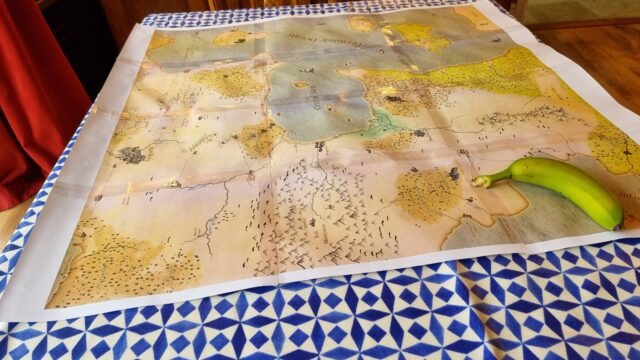
Banana for scale.

(If your GMing for kids, you probably already know this, but “feelies” go a long way. All the maps. All the scrolls. Maybe even some props. Go all in. They love it.)

On a dining table lies a old-style map comprised of 12 sheets of A4 paper, sellotaped together. The map shows the 'Central Sea', an inlet from the 'Terminic Ocean', around which various settlements, forests, mountain ranges, and swamps can be found. An underripe banana sits in one corner of the map, weighing it down.

×

1 comment

  1. Dan Q Dan Q says:

    Browse the full map here, if you like. It only covers major settlements (we use smaller maps for local areas).

Reply here

Your email address will not be published. Required fields are marked *

Reply on your own site

Reply elsewhere

You can reply to this post on Mastodon (@dan@danq.me), Mastodon (@blog@danq.me).

Reply by email

I'd love to hear what you think. Send an email to b26383@danq.me; be sure to let me know if you're happy for your comment to appear on the Web!