
Kind: Checkins
Geotagged, location-based posts; often related to my geo*ing adventures.
-
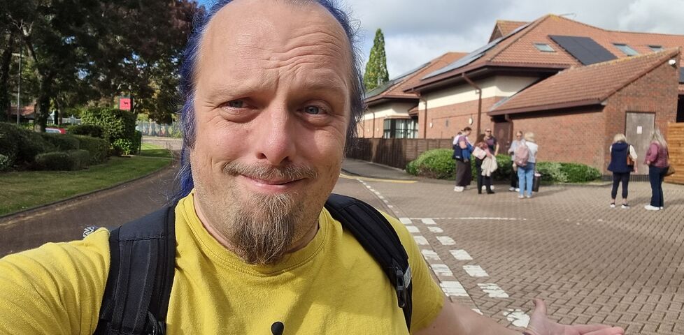
Found GC85TVQ Out Of Office
This checkin to GC85TVQ Out Of Office reflects a geocaching.com log entry. See more of Dan's cache logs. I expected not to have opportunity for a second attempt at this today, but my schedule opened up somewhat when the fire alarm went off at the hotel and we had to evacuate! As hotel guests and …
-
Did not find GC85TVQ Out Of Office
This checkin to GC85TVQ Out Of Office reflects a geocaching.com log entry. See more of Dan's cache logs. I'm spending the weekend in the hotel nearby, for the AGM of a nonprofit I'm involved with. This morning I realised they I had a spare quarter of an hour before a meeting and wondered if I …
-
Found GC46YDF Second Row - Ball Retention
This checkin to GC46YDF Second Row - Ball Retention reflects a geocaching.com log entry. See more of Dan's cache logs. Found lying on the ground, in the open. Based on the previous log, I guess that, without its magnets, it quickly fell down. Re-hid, visibly, in a large crack in the wall which I hope …
-
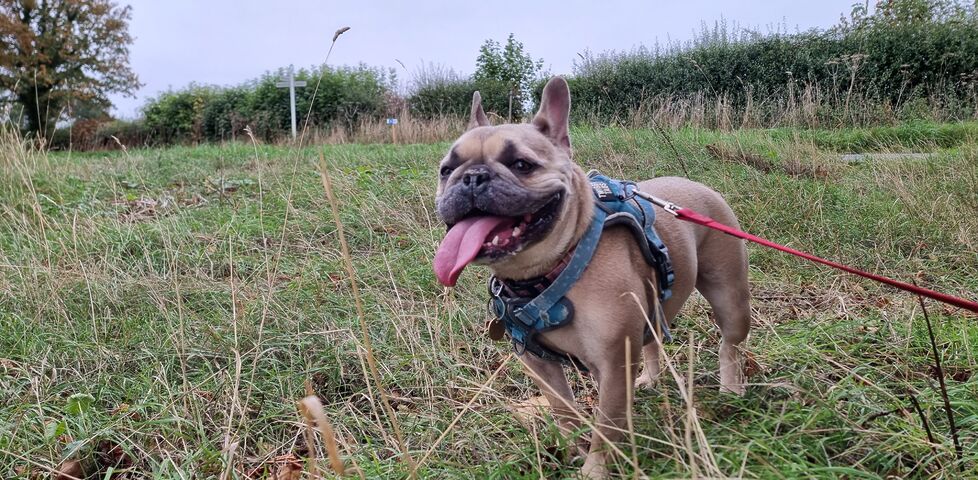
Found GC46YCV Lock - Hanging Bison
A quick find for the geohound and I while walking back to Tackley (via the TP6298 trigpoint up on the rise to the North) from the 2026-09-27 51 -1 geohashpoint. A successful hashing expedition followed by a successful geocache find, nice!
-
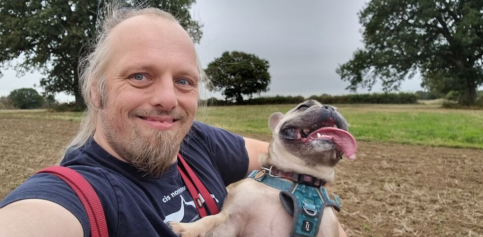
Geohashing expedition 2026-09-27 51 -1
I woke early and grumpy and, to try to shake myself out of a funk, went out with the dog in search of a geohashpoint near a trigpoint in a field near Tackley.
-
Did not find GC3C7FT Woodies
This checkin to GC3C7FT Woodies reflects a geocaching.com log entry. See more of Dan's cache logs. After seeking (and finding, surprisingly) the 2026-09-13 51 -1 geohashpoint down in the Brook Hill nature reserve, the geohound and I came to try to find this cache, too. After finding the correct way into the nature reserve (access …
-
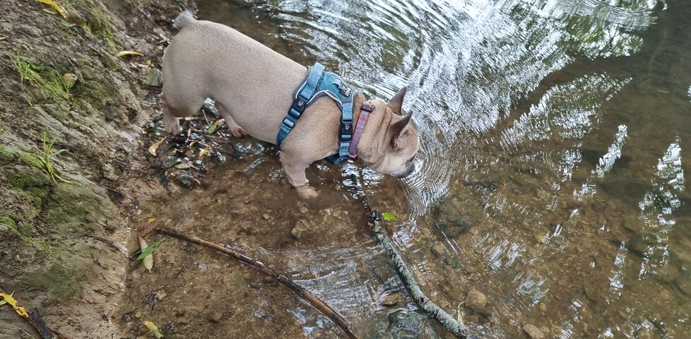
Geohashing expedition 2026-09-13 51 -1
A successful geohashing expedition to a swampy area near Woodstock, despite an incident during which I was attacked by a wasp whom I'd attempted to squash using my genitals. (Yes, really.)
-
Wrote note for GC9EXXC Shady Seat on The Green
Quick check while I was passing, as nobody's logged this cache during our stupidly-hot July or August (and I don't blame them: it's been horrible outdoors!). Anyway: the cache is fine and healthy and looking forward to its next visitor!
-
Found GC9BHWG Watercress beds
This checkin to GC9BHWG Watercress beds reflects a geocaching.com log entry. See more of Dan's cache logs. Despite immediately honing in on exactly the right host, it still took me an embarrassingly long time to find this cache. This, despite having found - and even hidden - cache contsibers of exactly this type before!
… -
Found GC8ZWZ3 Letcombe Bridges 1
This checkin to GC8ZWZ3 Letcombe Bridges 1 reflects a geocaching.com log entry. See more of Dan's cache logs. QEF while passing through the village on a circular walk. TFTC!
-
Wrote note for GC4H2MB Church Micro 4008…Letcombe Regis
This checkin to GC4H2MB Church Micro 4008…Letcombe Regis reflects a geocaching.com log entry. See more of Dan's cache logs. Found the grave, but this is now the second offset I've found here that's asked me to double-back on my walk. Nope! I'm just going to save the calculated coordinates for the next time I'm in …
-
Wrote note for GC9F5YC GIs in Letcombe
This checkin to GC9F5YC GIs in Letcombe reflects a geocaching.com log entry. See more of Dan's cache logs. Found the clues and solved the coordinates, but I've JUST walked past the final location a while ago and don't feel like doubling back today!
A=How many letters in the word underneath Knoxville?
B=A*2
… -
Found GC9QWHD Plankton's cache
This checkin to GC9QWHD Plankton's cache reflects a geocaching.com log entry. See more of Dan's cache logs. Like many before me, from the looks of things, I didn't find the cache at the published coordinates but about 11 metres away at N 51° 34.086', W 001° 26.441'. Possibly worth the CO checking if those coordinates …
-
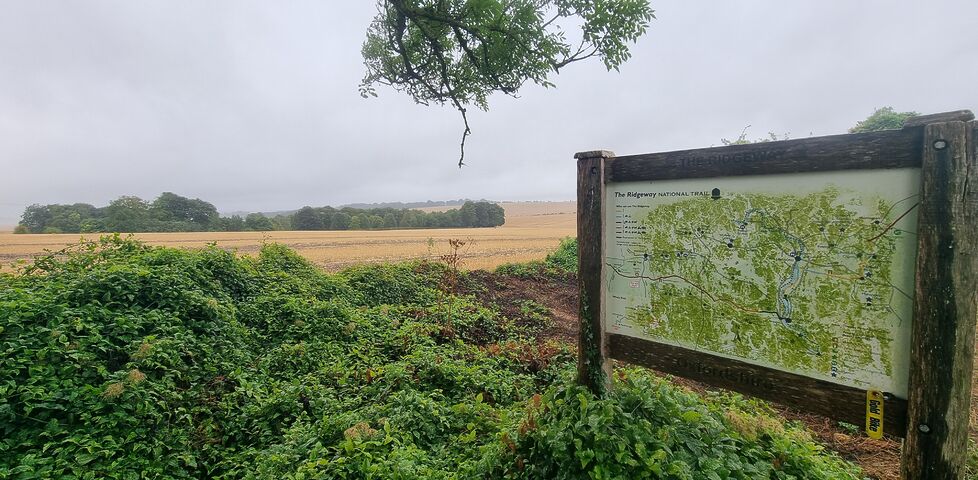
Found GC93M2N Segsbury Fort
This checkin to GC93M2N Segsbury Fort reflects a geocaching.com log entry. See more of Dan's cache logs. A challenging but worthwhile find during a walk along and around the Ridgeway.
AltA windswept and rolling rural landscape, with storm clouds brewing in the distance.
My initial attempt to collect the coordinates was way off … -
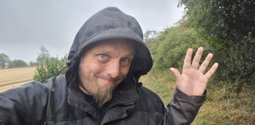
Found GC46RY8 It really is about the (2 millionth) cache
This checkin to GC46RY8 It really is about the (2 millionth) cache reflects a geocaching.com log entry. See more of Dan's cache logs. This morning I came up to explore the Ridgeway and escape from thinking about Life Stuff for a bit. (Although escaping from the rain wasn't a possibility! It was real wet up …