This post is part of my attempt at Bloganuary 2024. Today’s prompt is:
Do you play in your daily life? What says “playtime” to you?
How do I play? Let me count the ways!
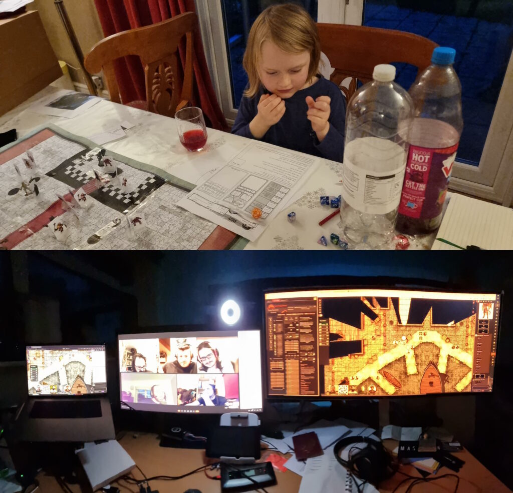
RPGs
I’m involved in no fewer than three different RPG campaigns (DMing the one for The Levellers) right now, plus periodic one-shots. I love a good roleplaying game, especially one that puts character-building and storytelling above rules-lawyering and munchkinery, specifically because that kind of collaborative, imaginative experience feels more like the kind of thing we call “play” when done it’s done by children!
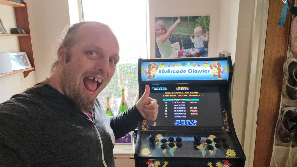
Videogames
I don’t feel like I get remotely as much videogaming time as I used to, and in theory I’ve become more-selective about exactly what I spend my time on1.
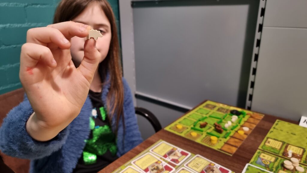
Board Games
Similarly, I don’t feel like I get as much time to grind through my oversized board games collection as I used to2, but that’s improving as the kids get older and can be roped-into a wider diversity of games3.
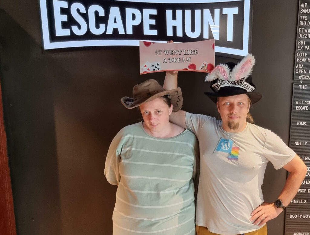
Escape Rooms
I love a good escape room, and I can’t wait until the kids are old enough for (more of) them too so I’ve an excuse to do more of them. When we’re not playing conventional escape rooms, Ruth and I can sometimes be found playing board game-style boxed “kit” ones (which have very variable quality, in my experience) and we’ve recently tried a little Escape Academy.
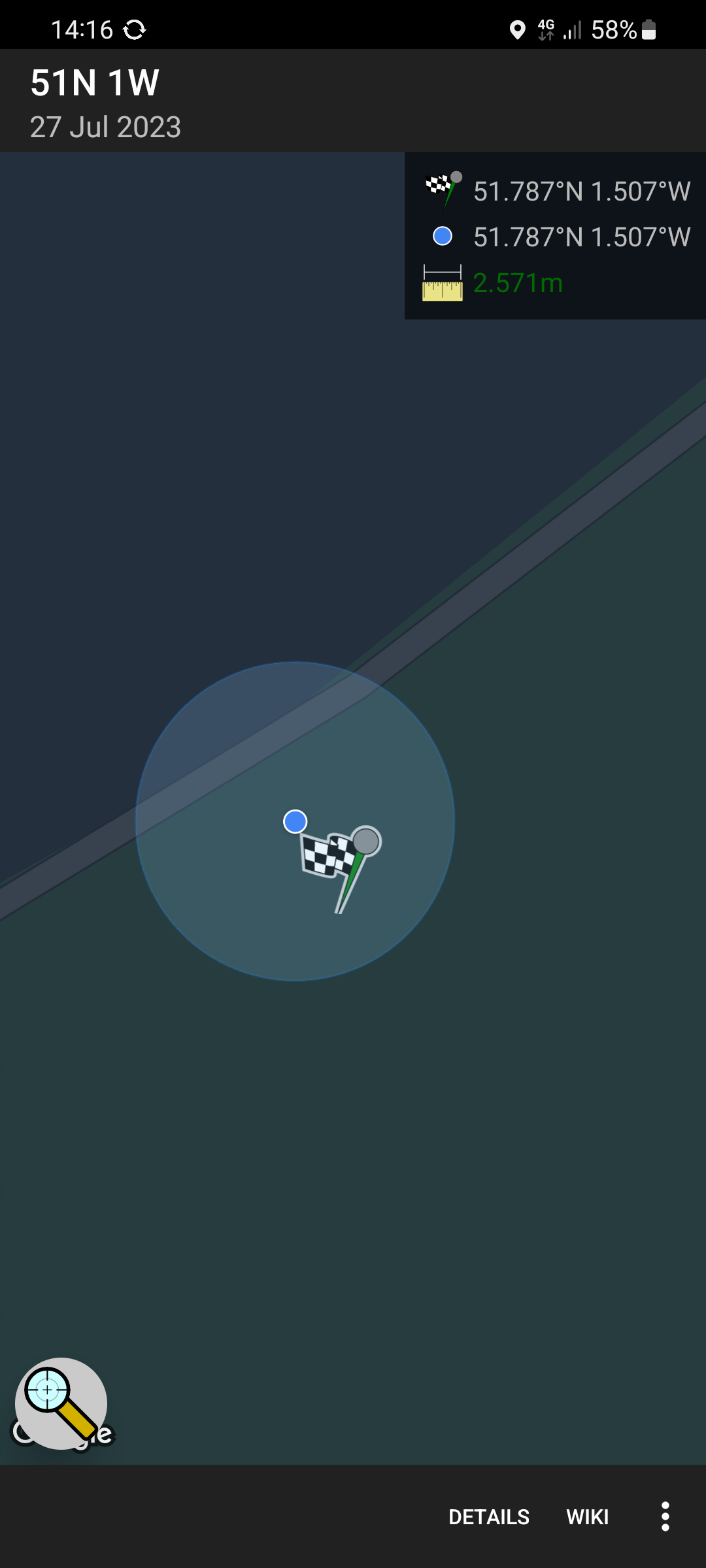
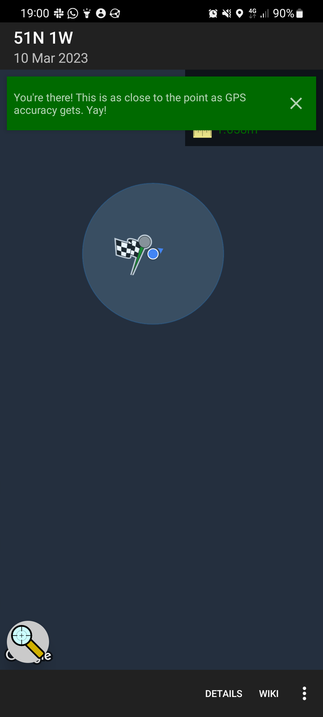
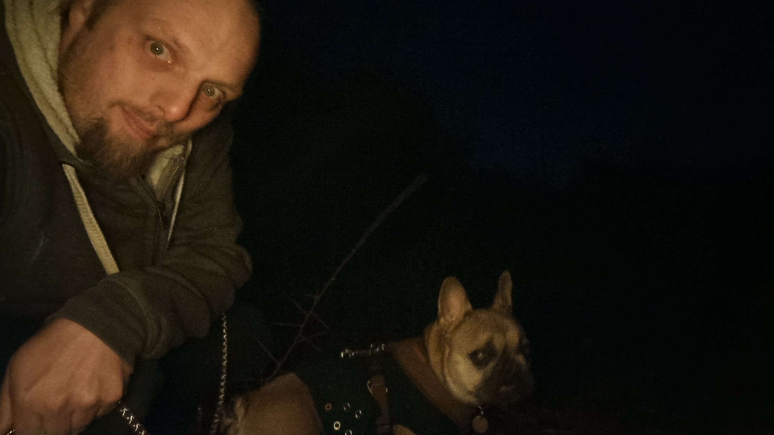
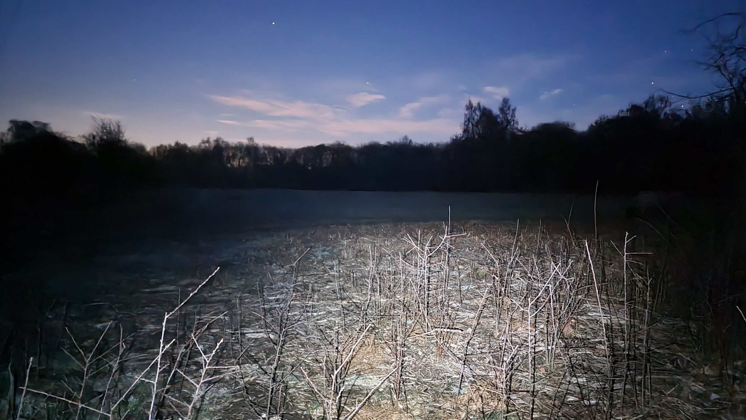
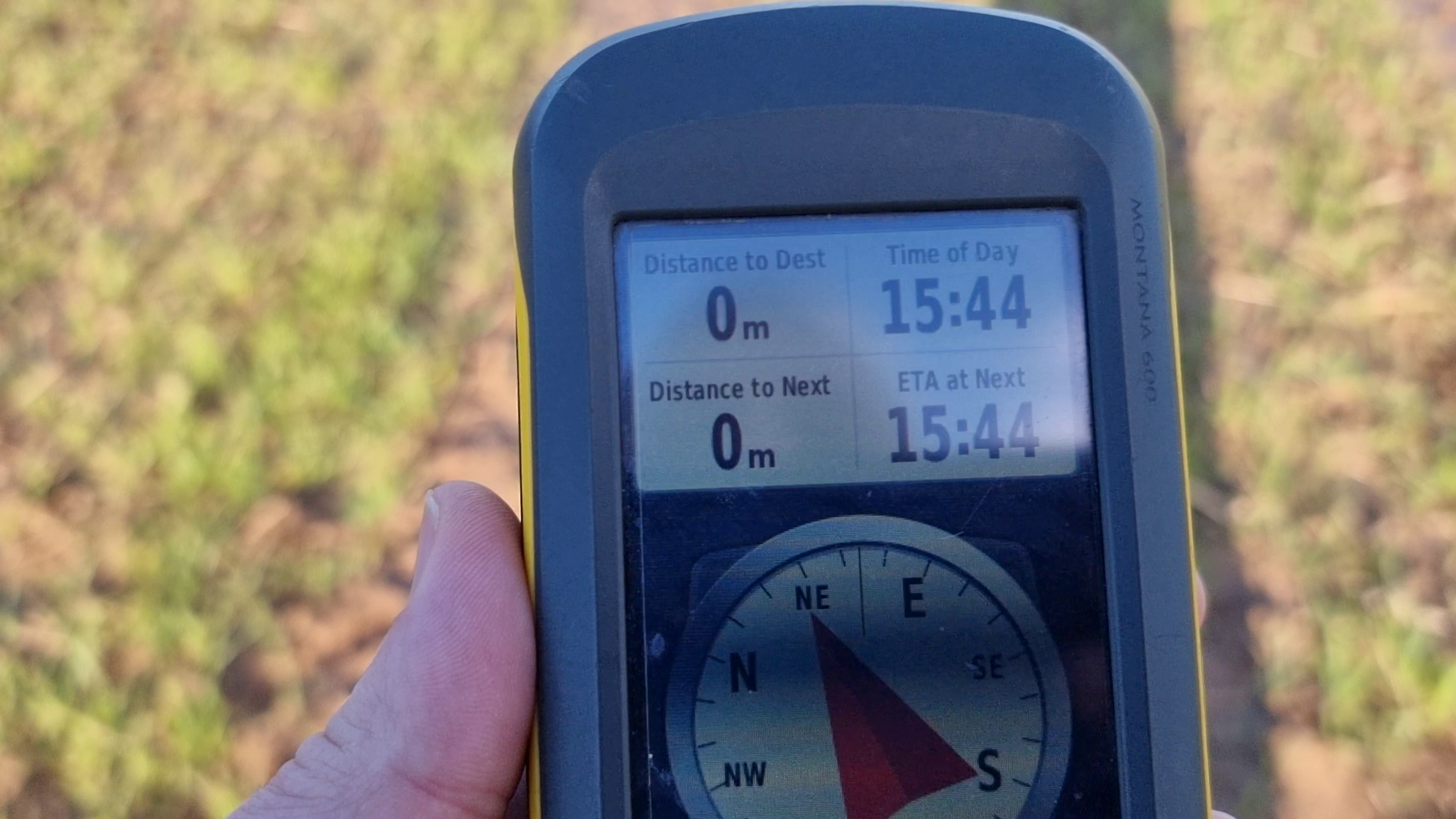
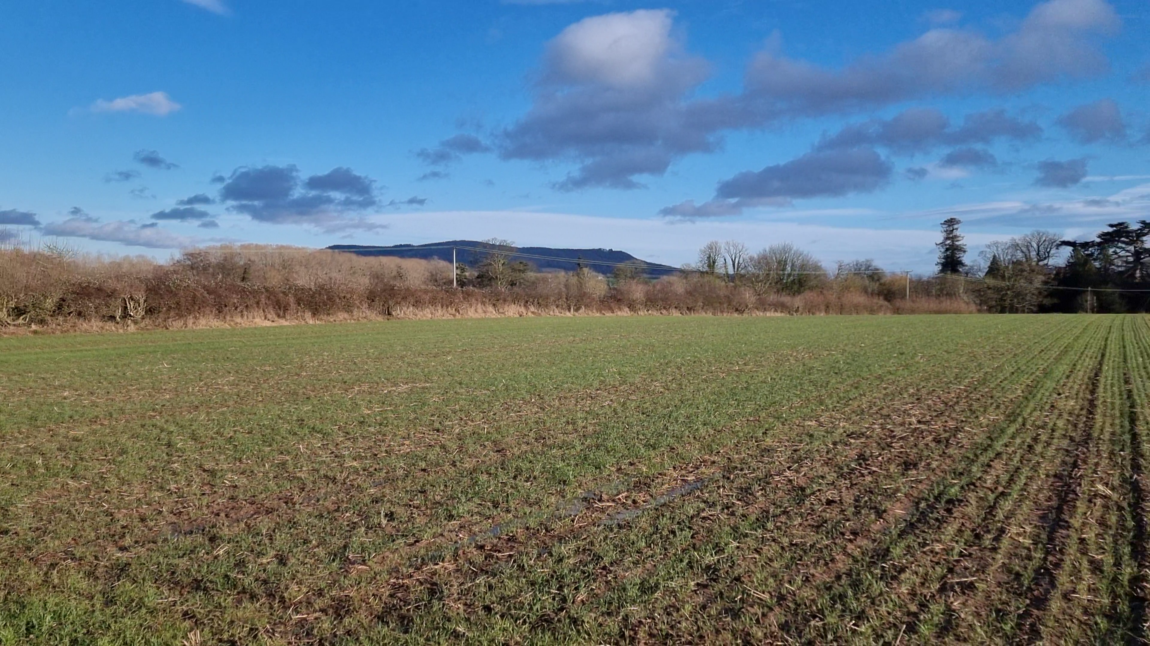
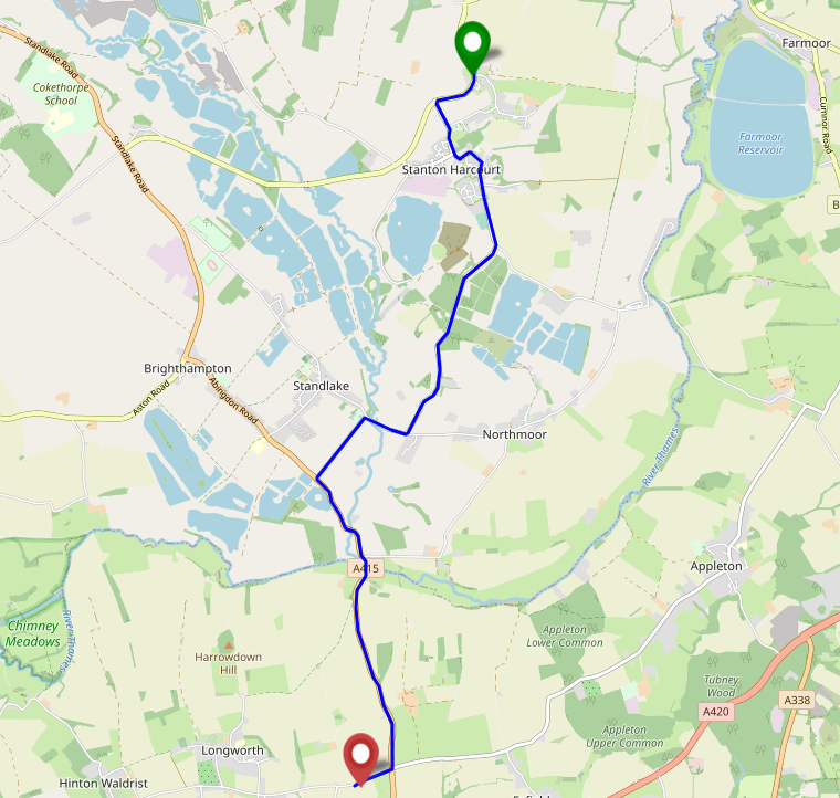
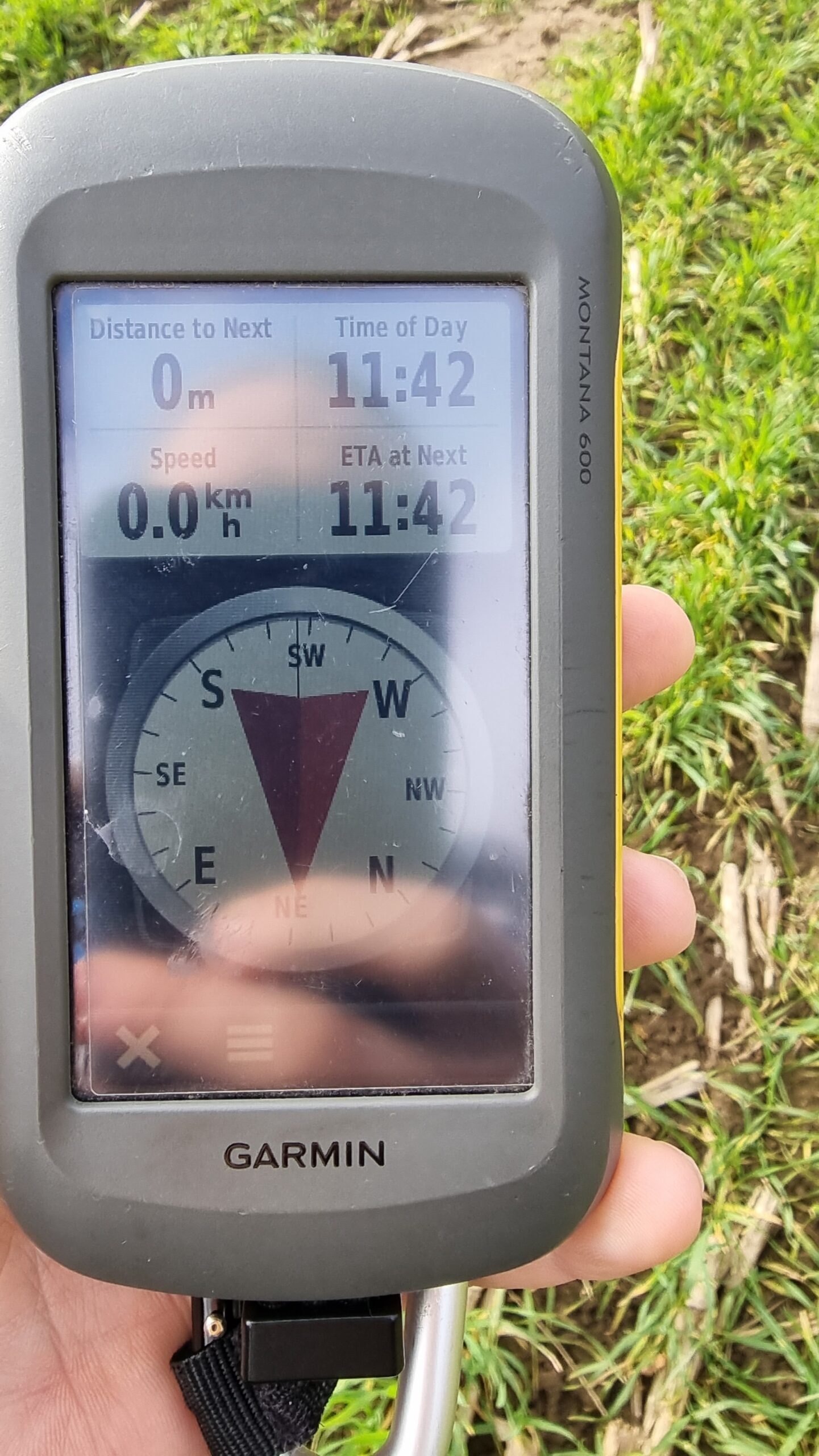
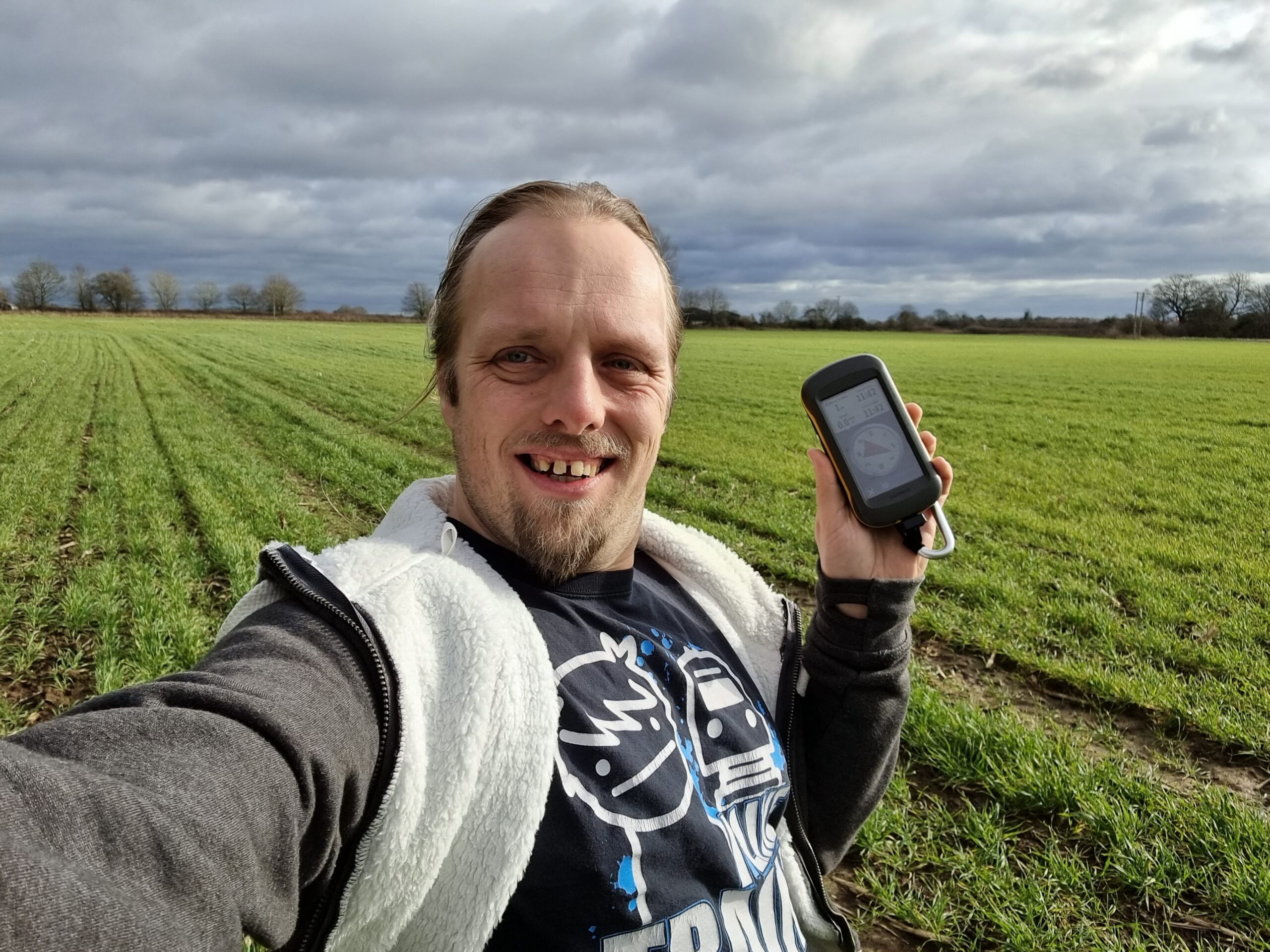
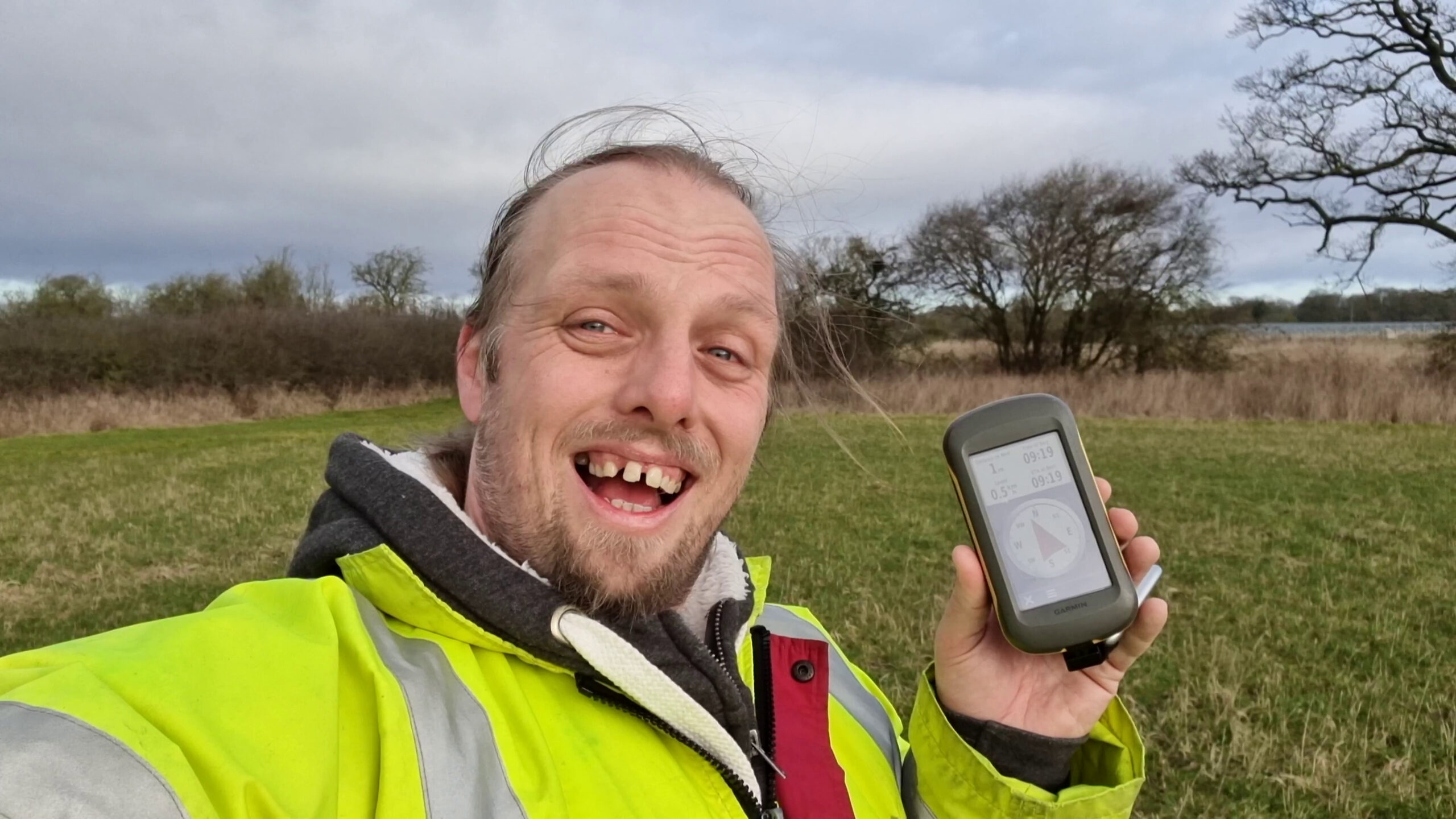
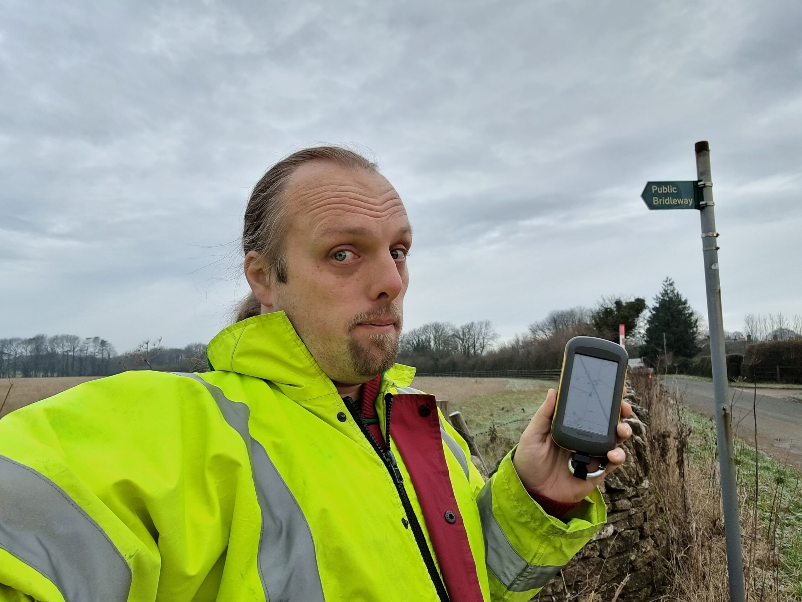
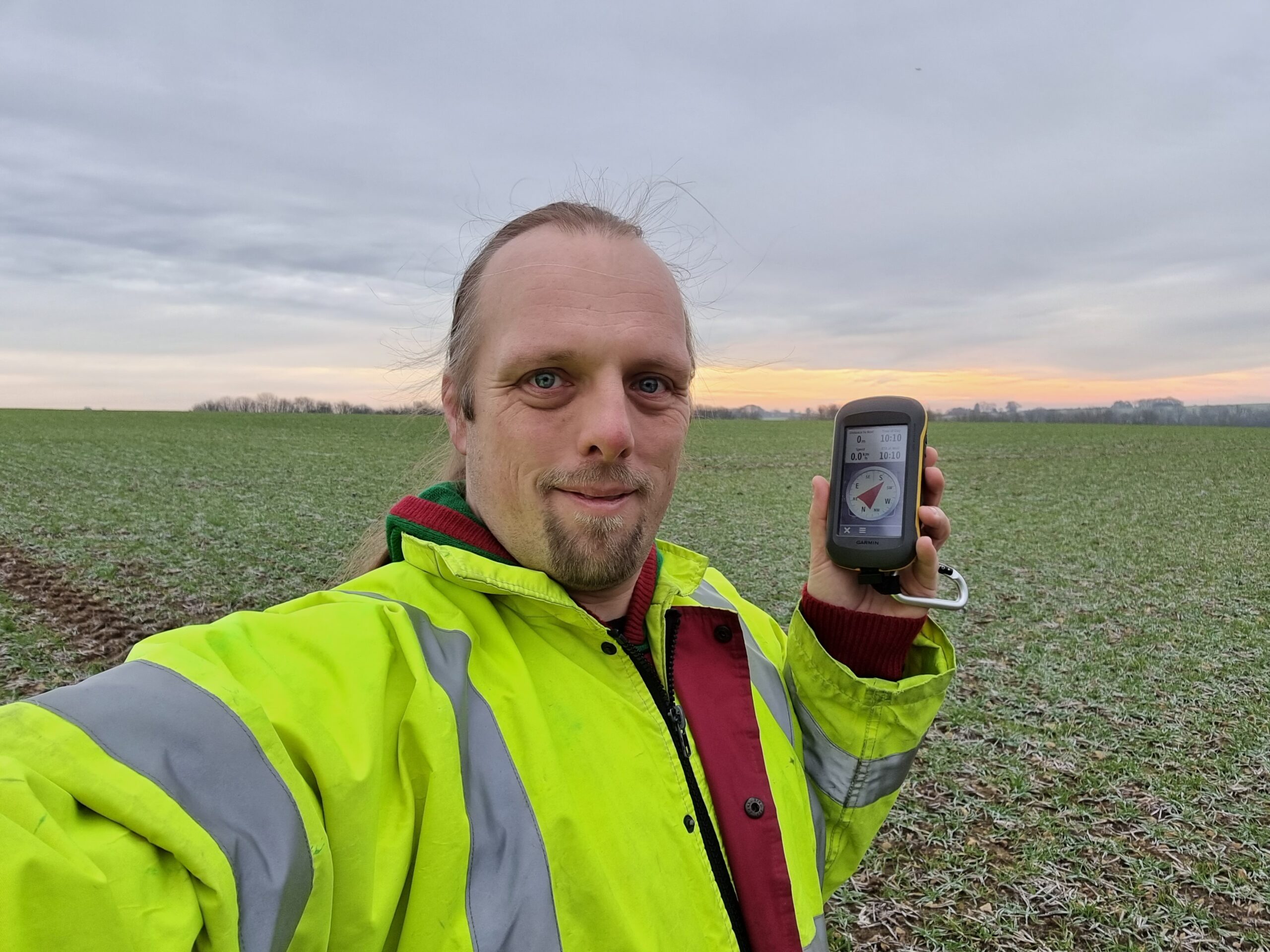
GNSS Activities
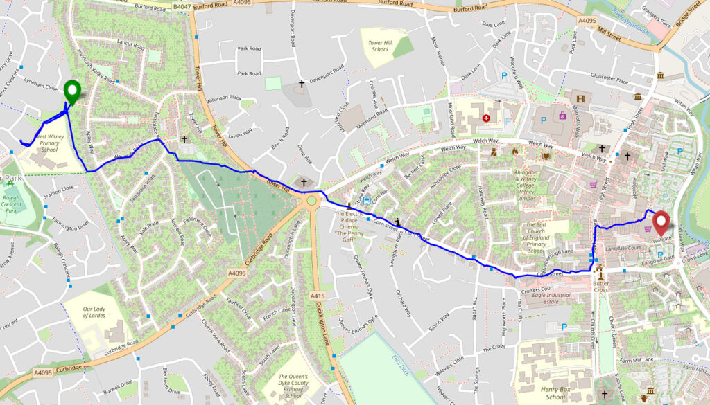
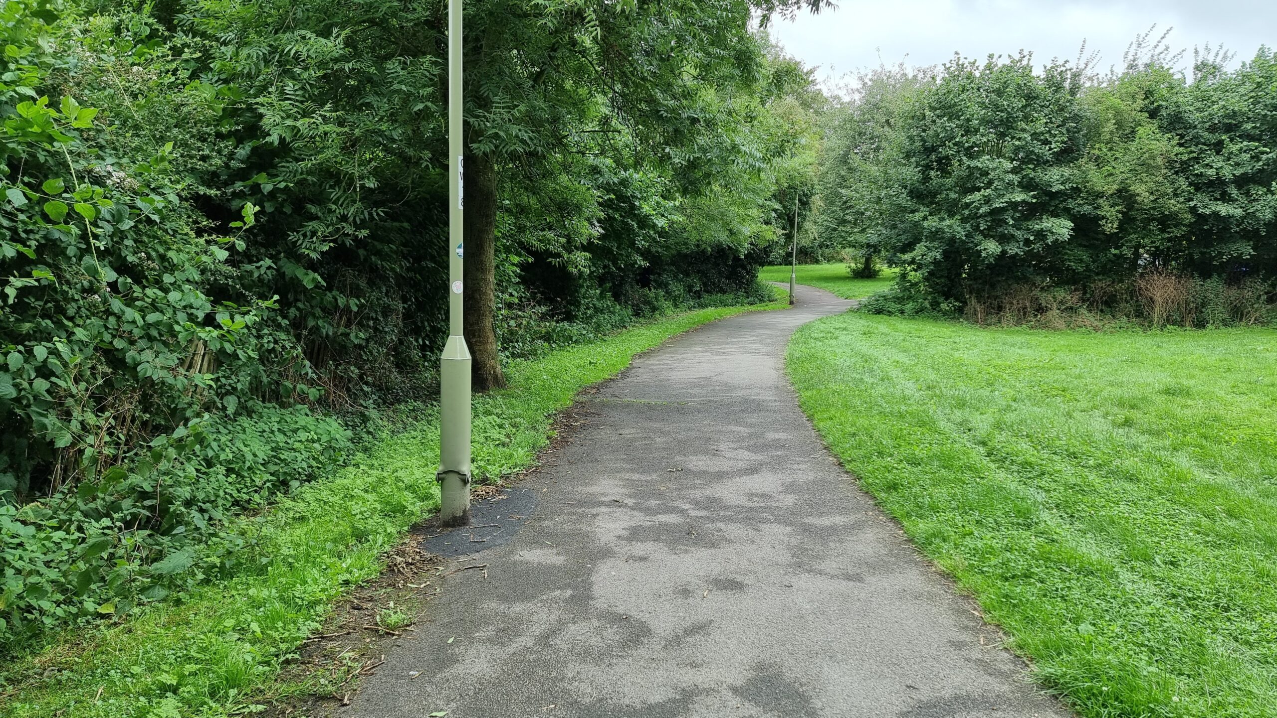
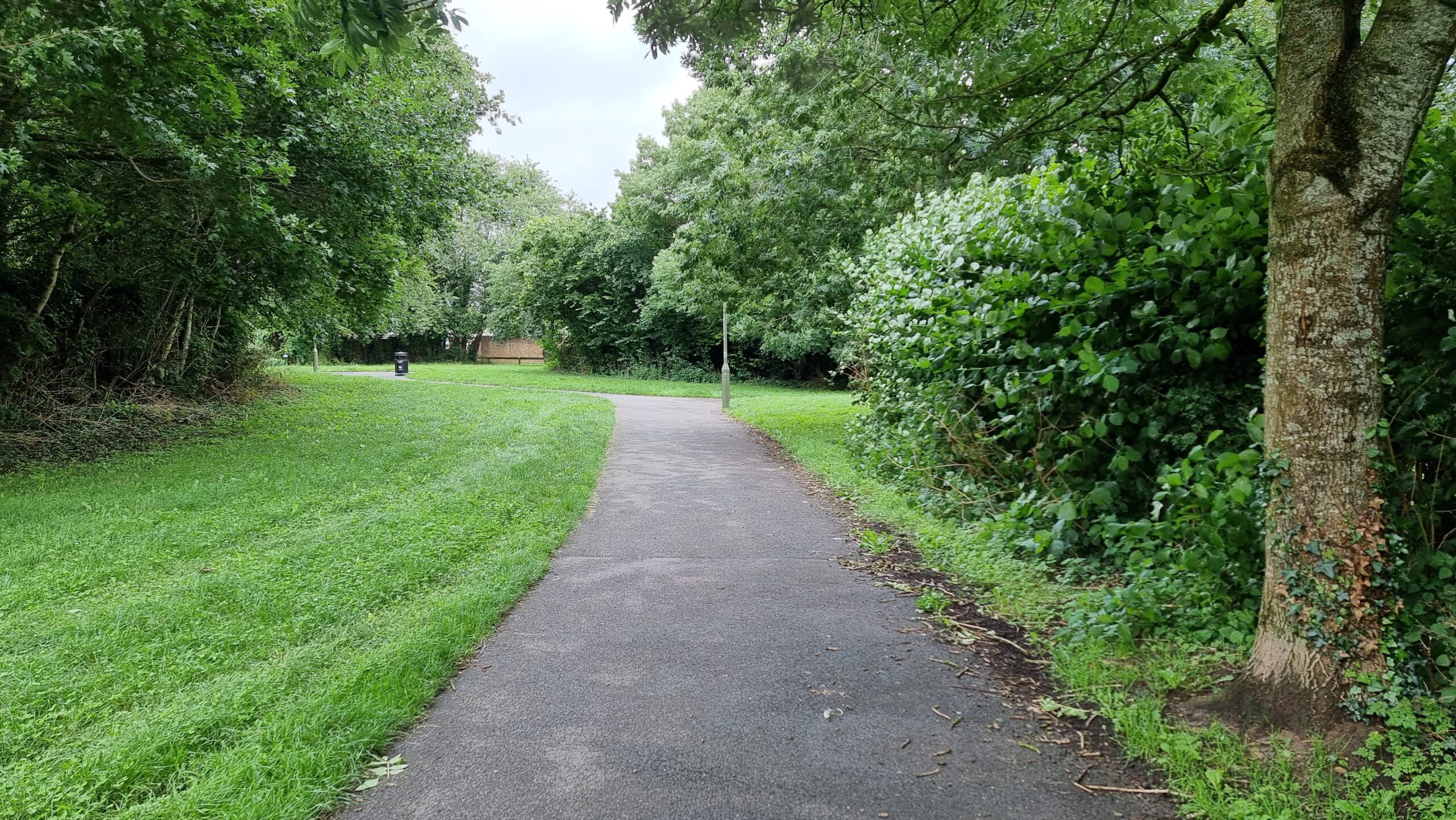
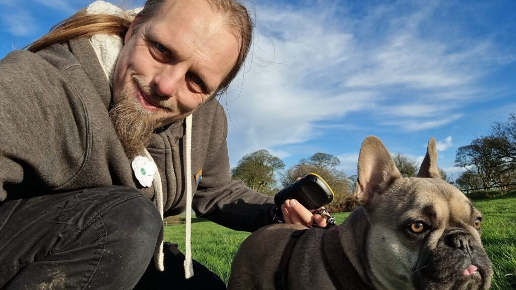
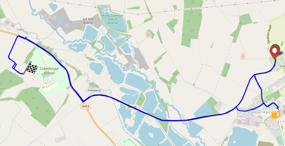
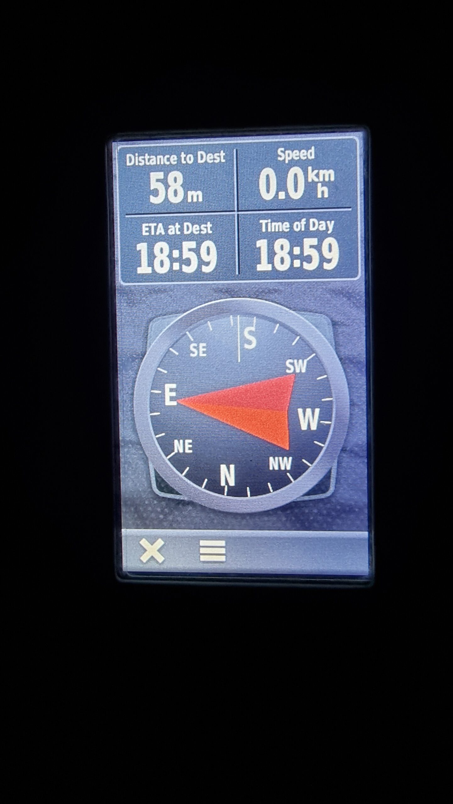
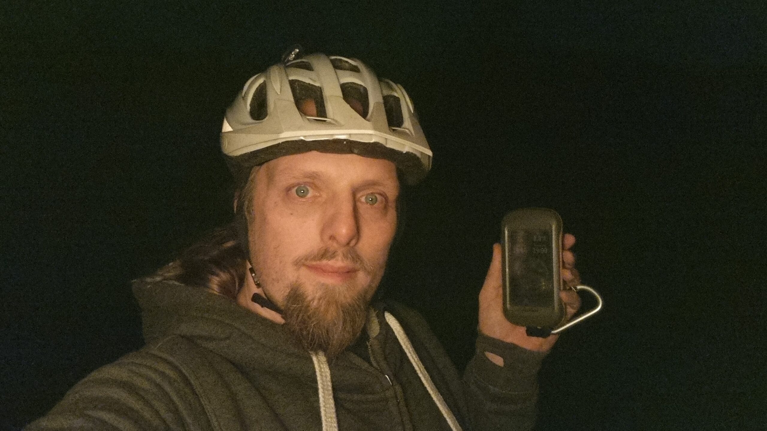
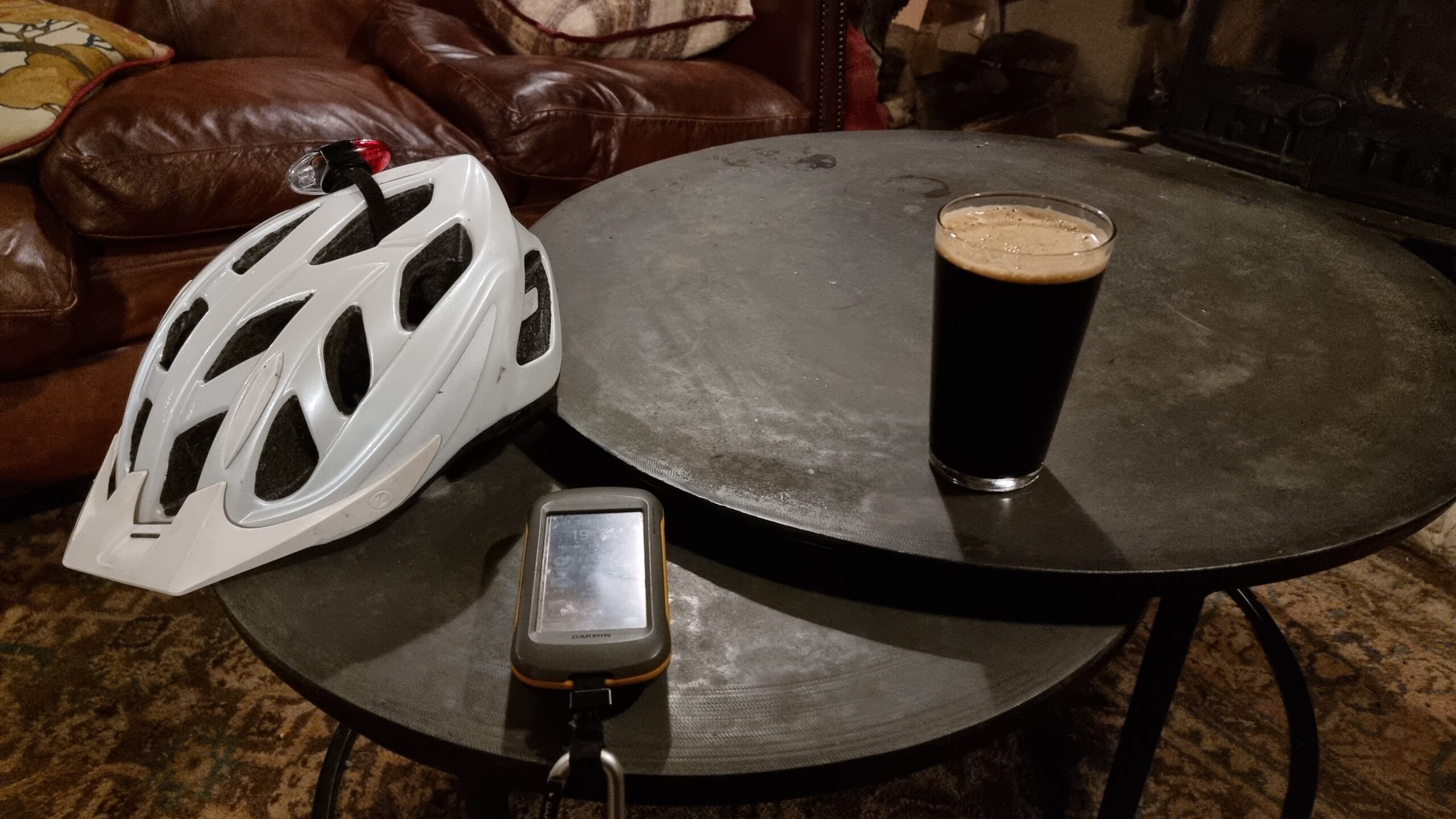
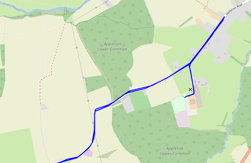
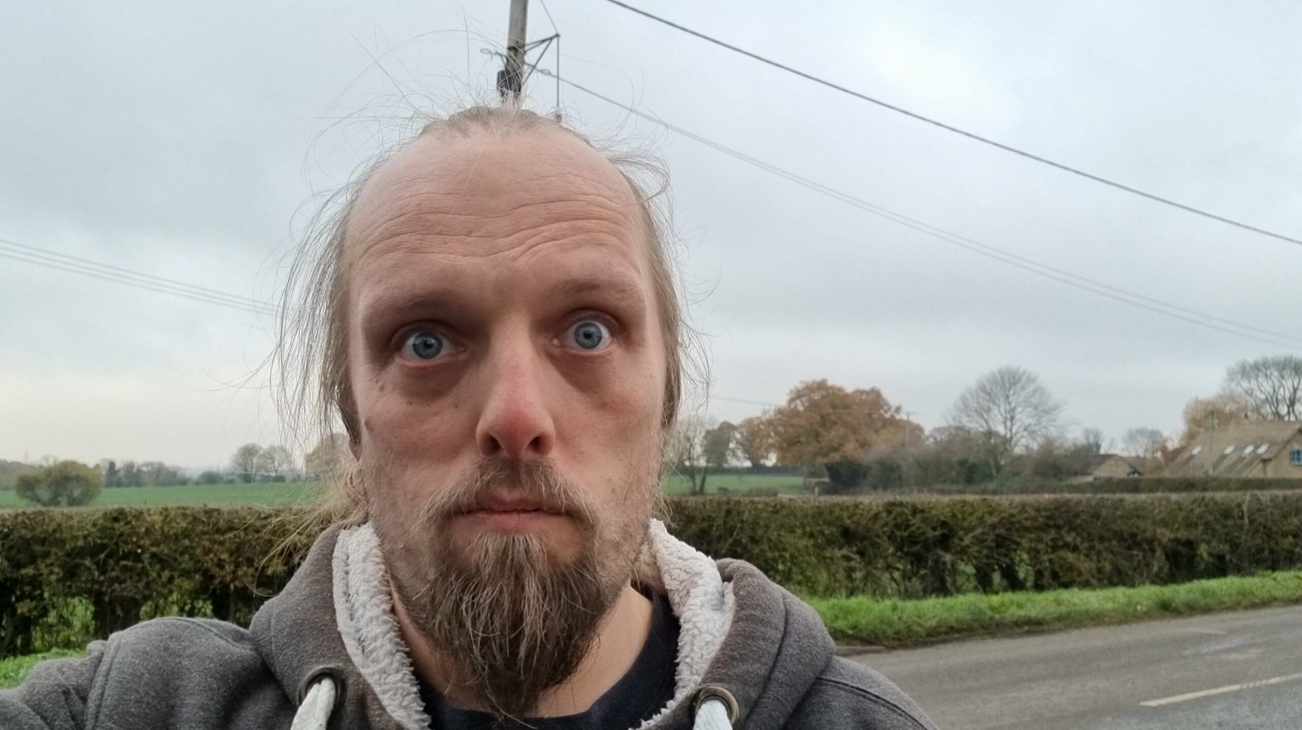
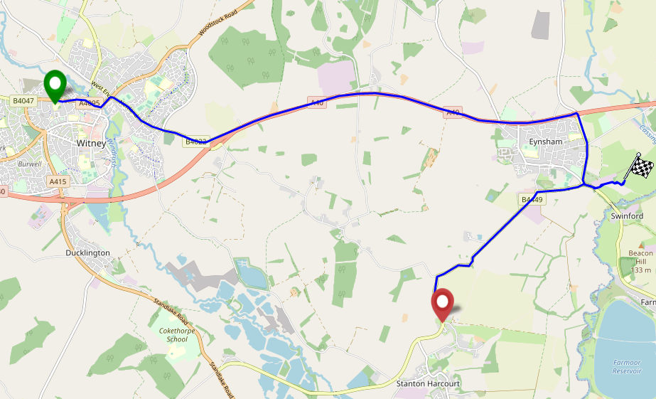
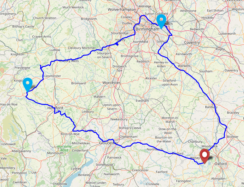
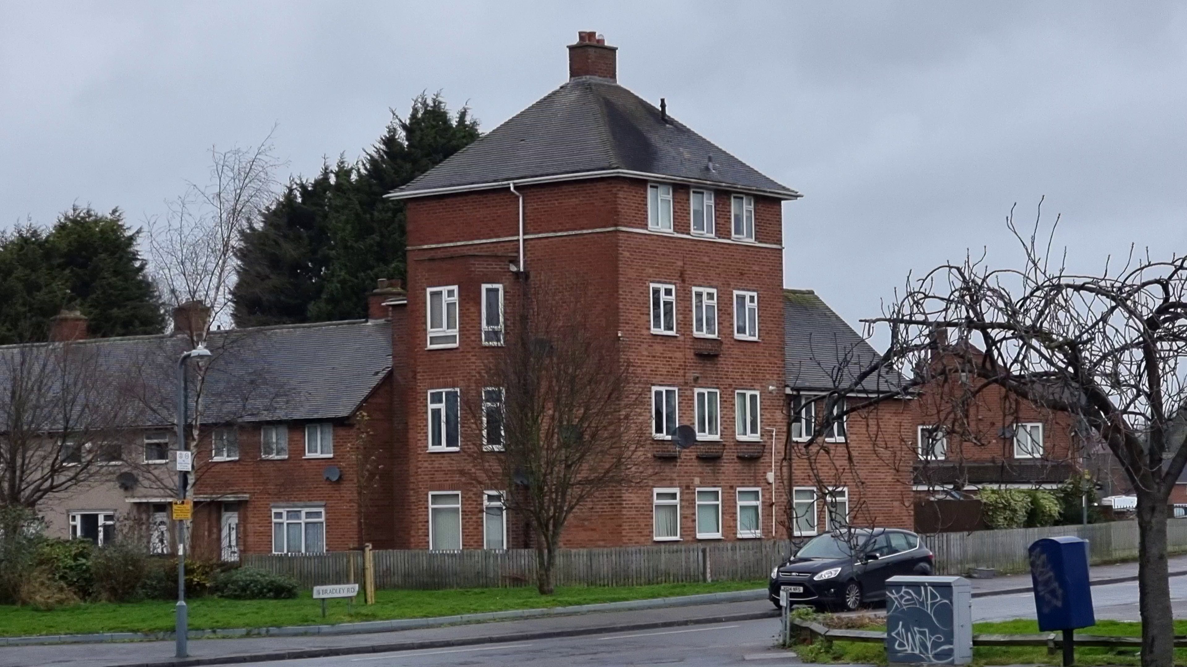
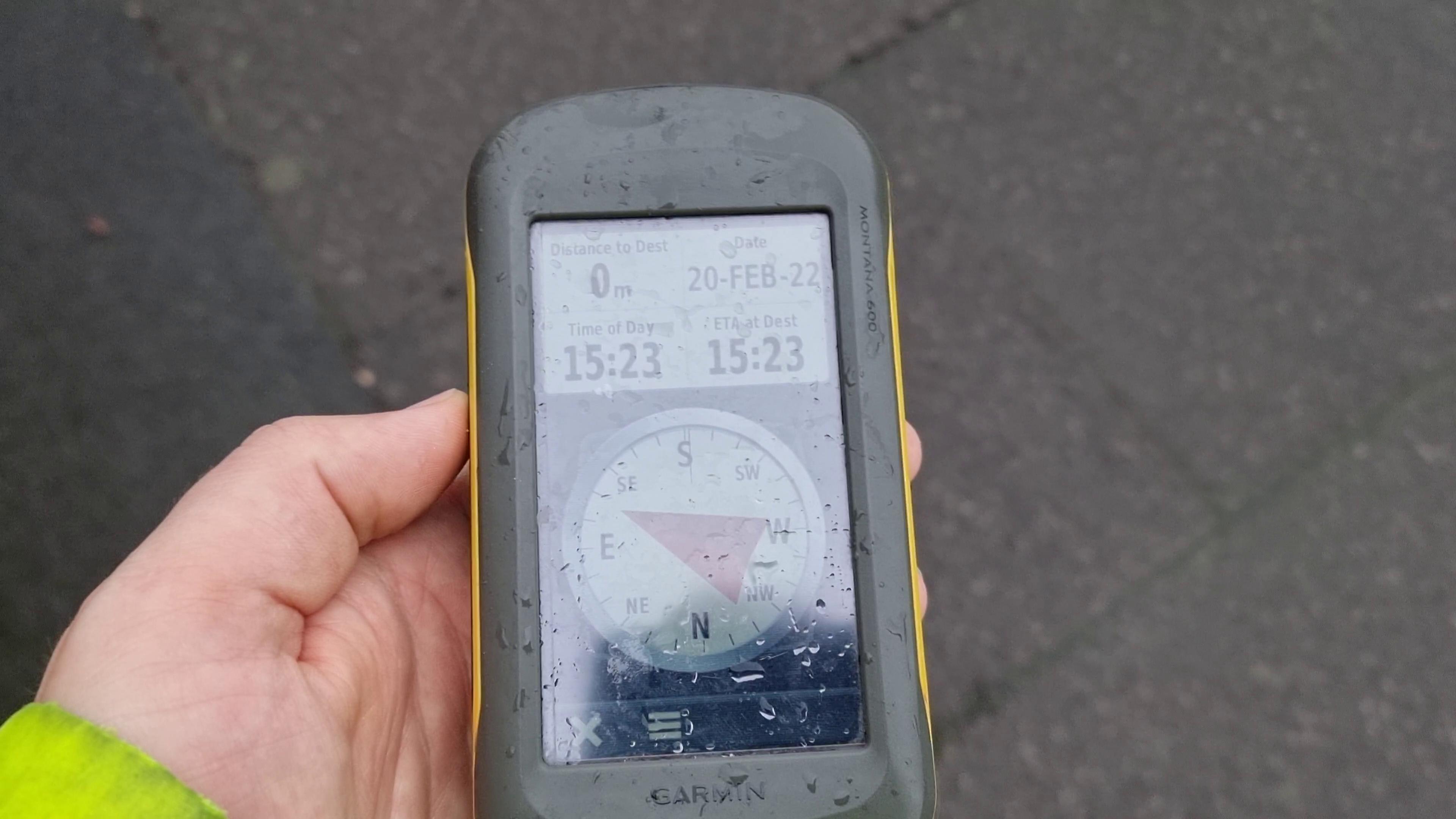
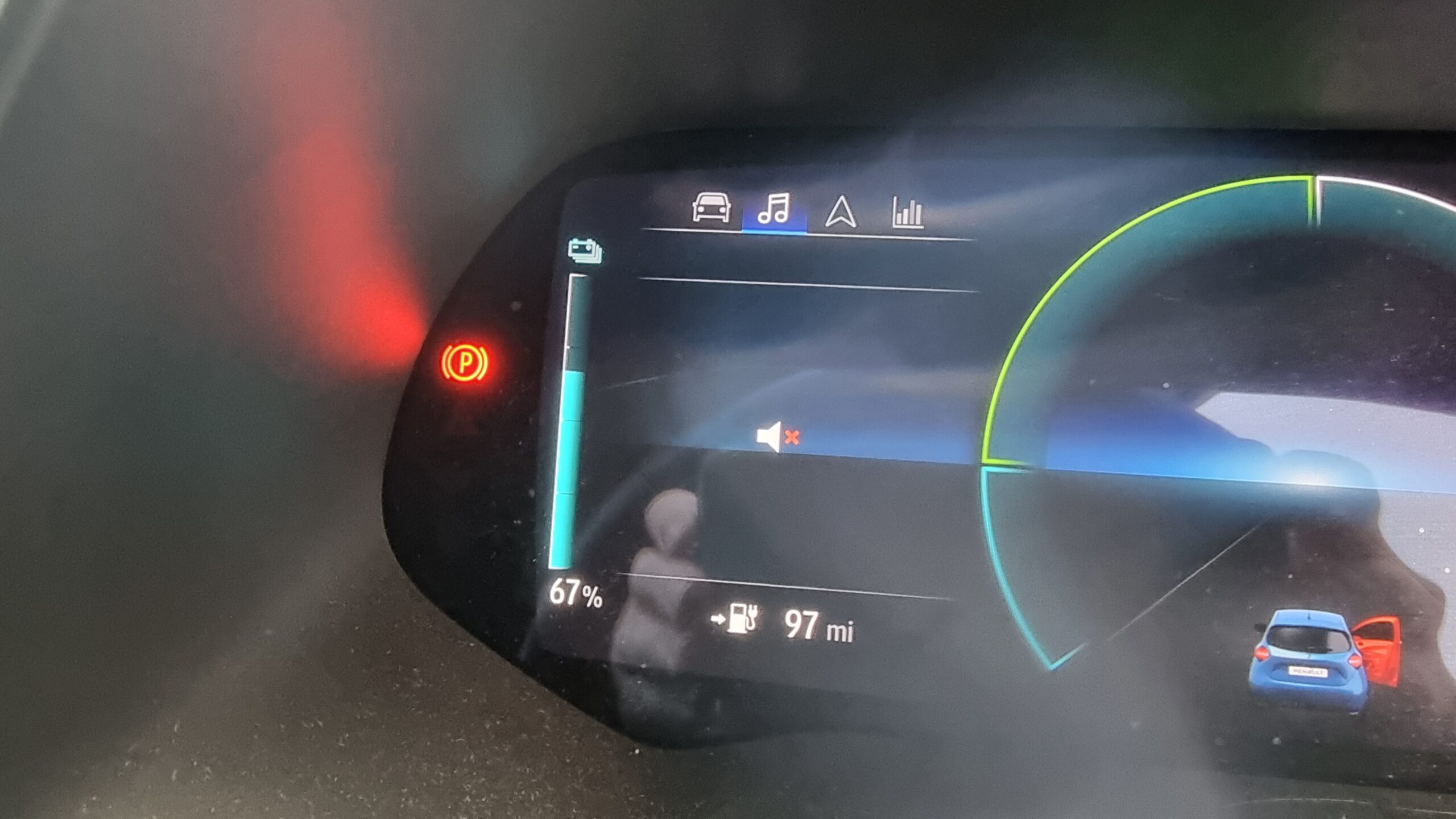
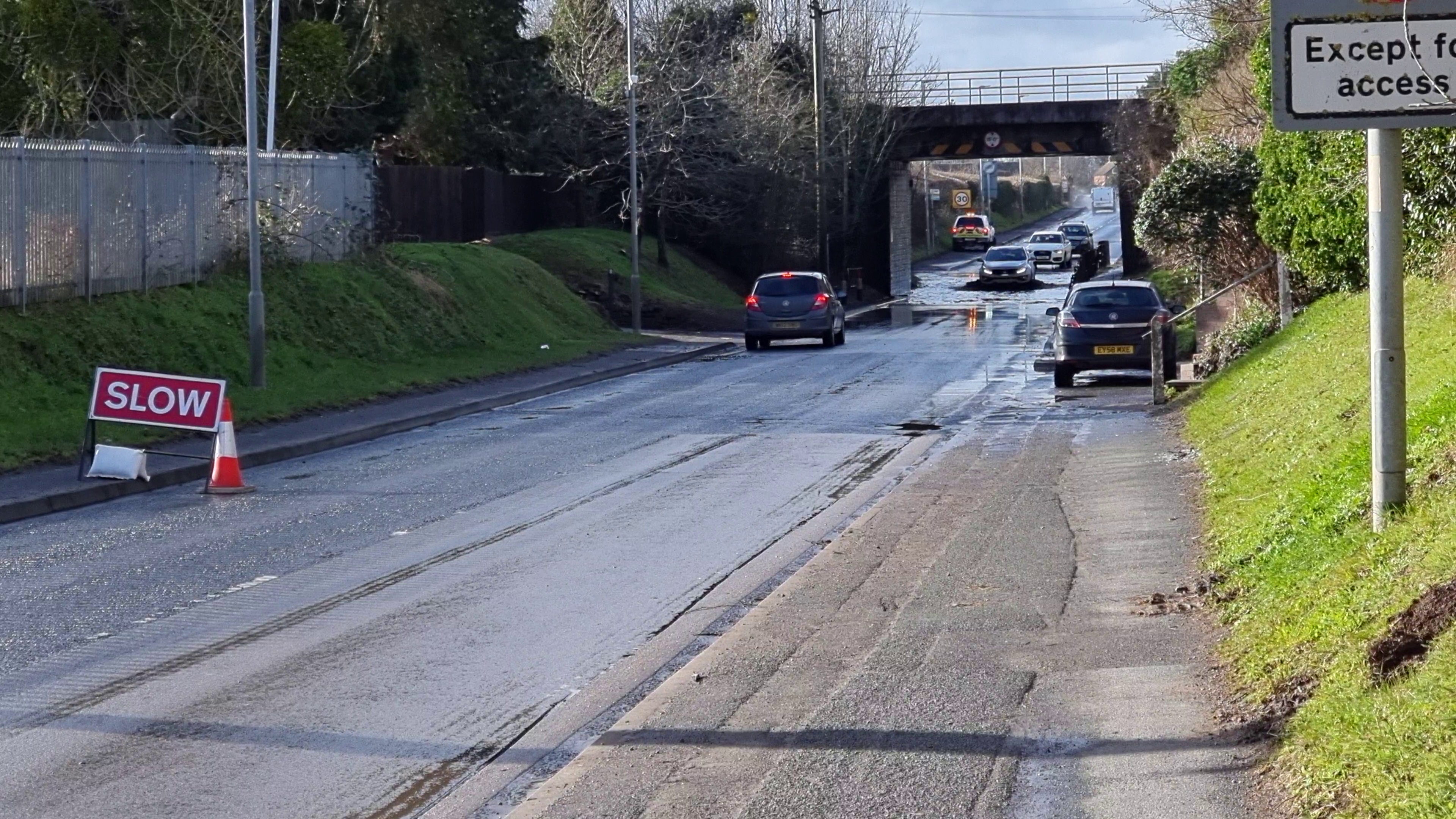
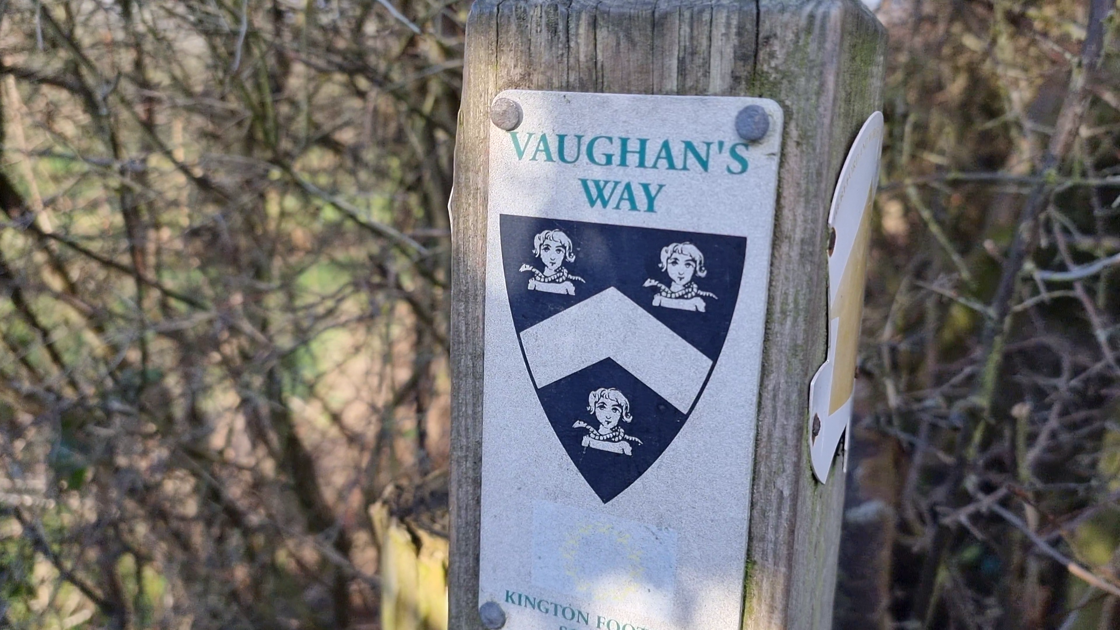
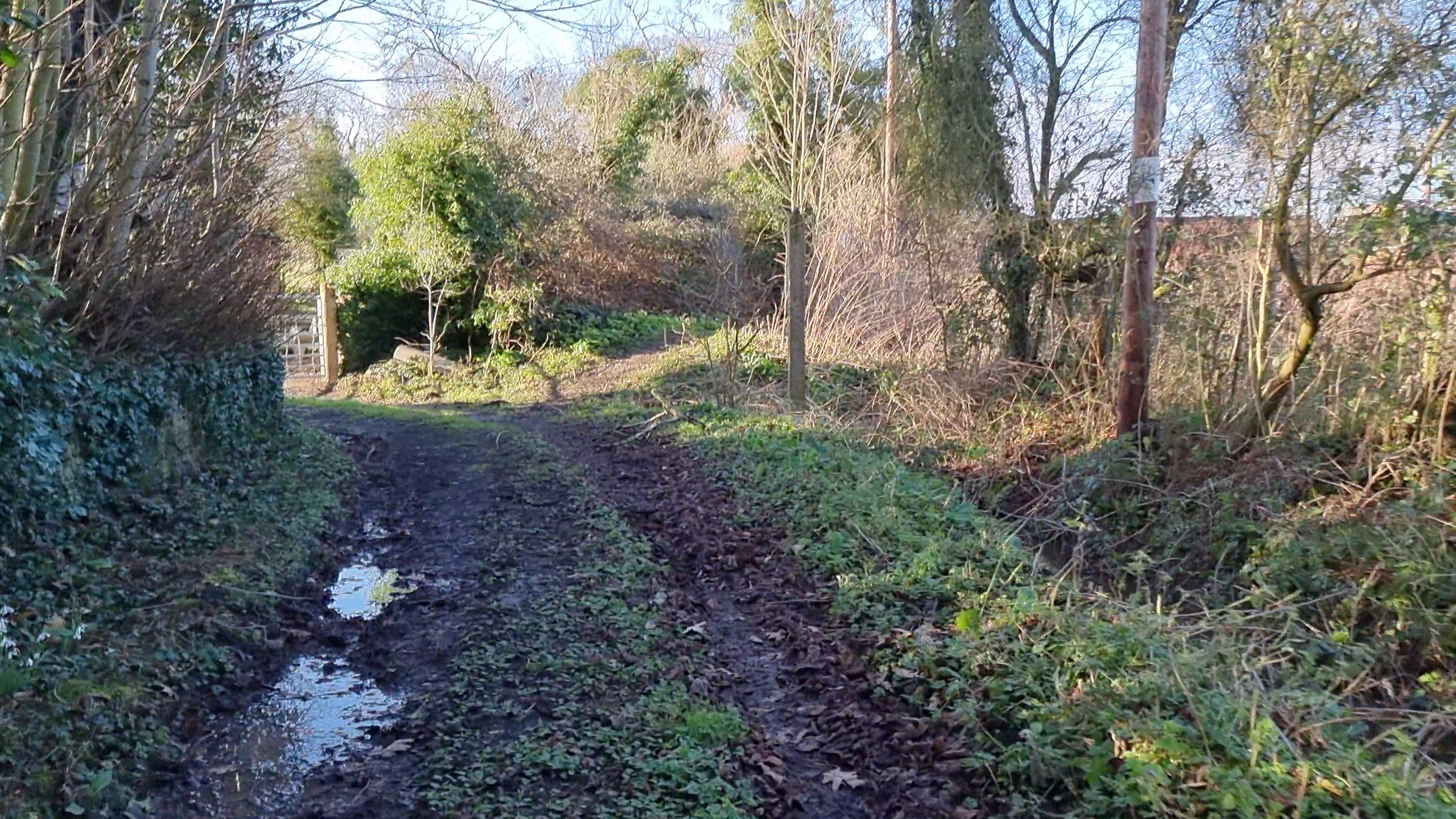
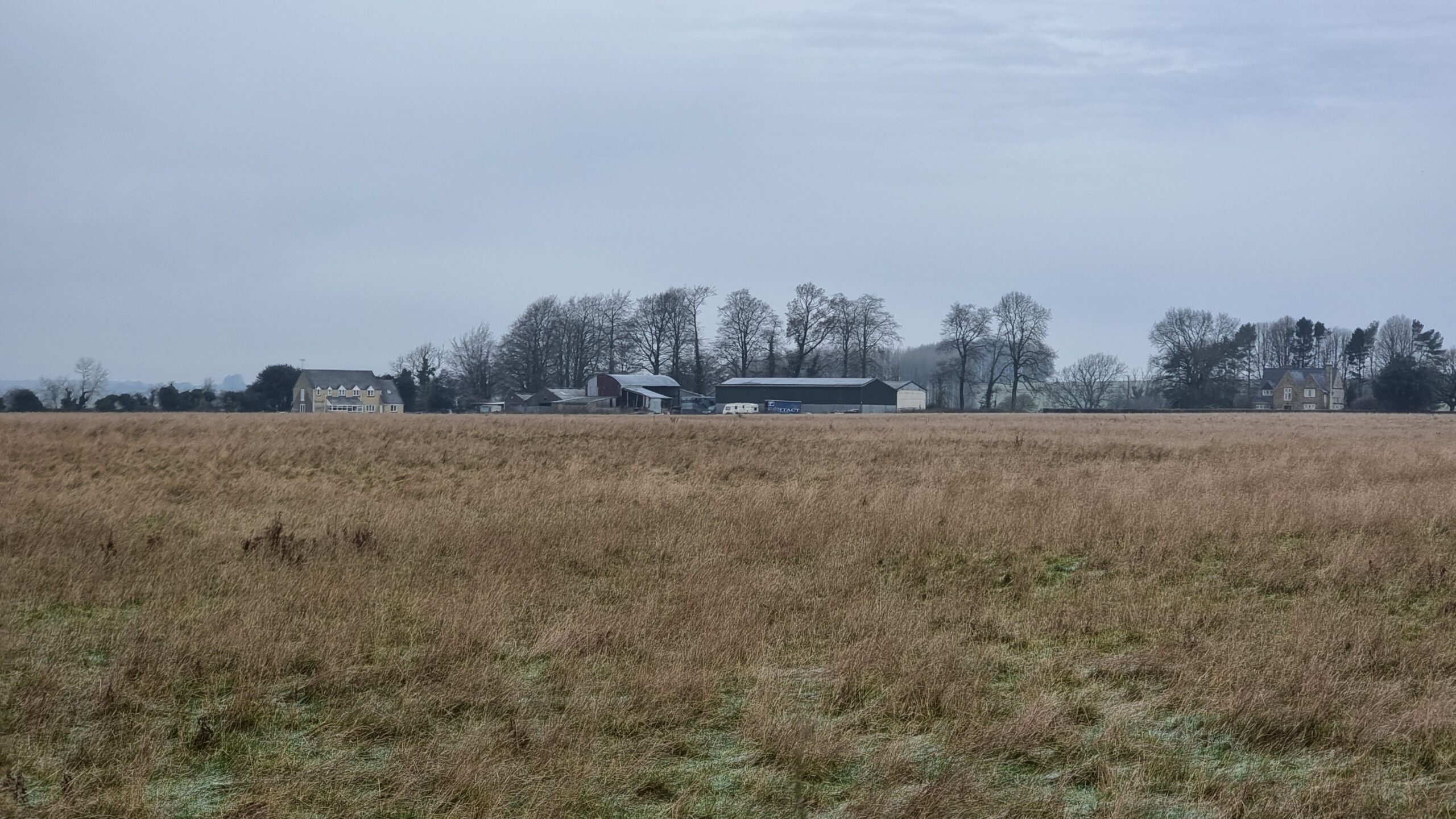
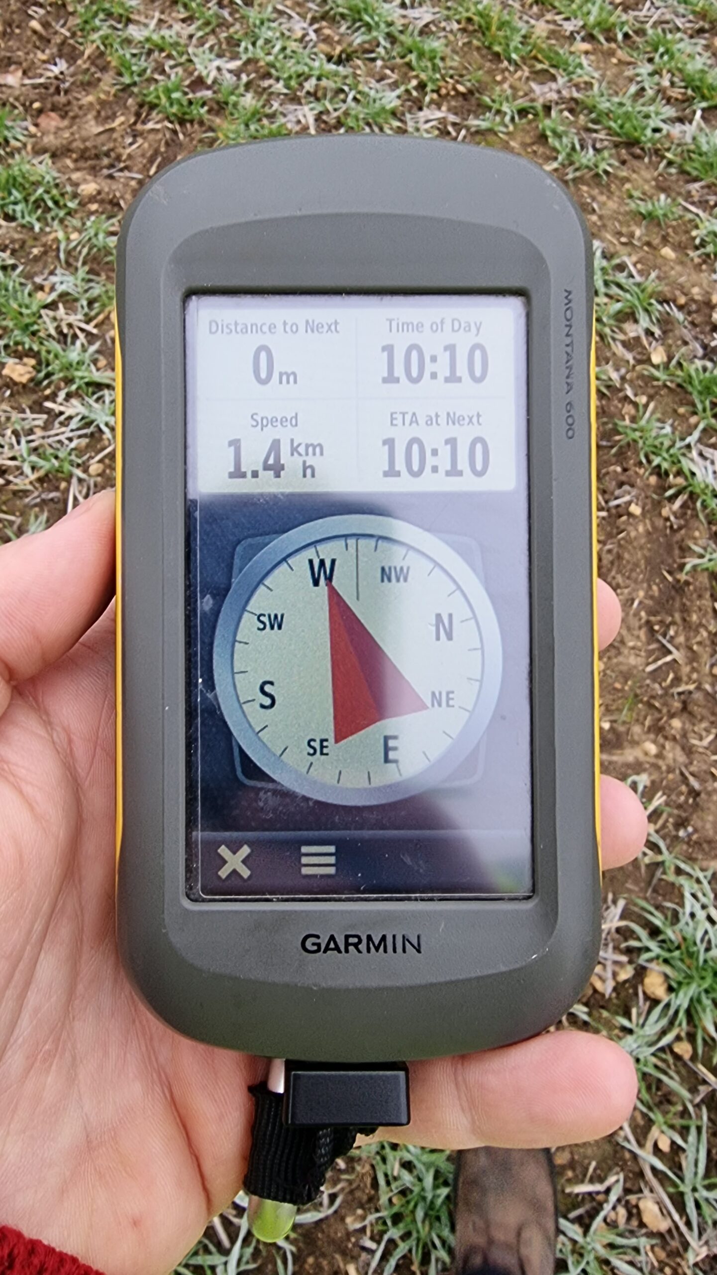
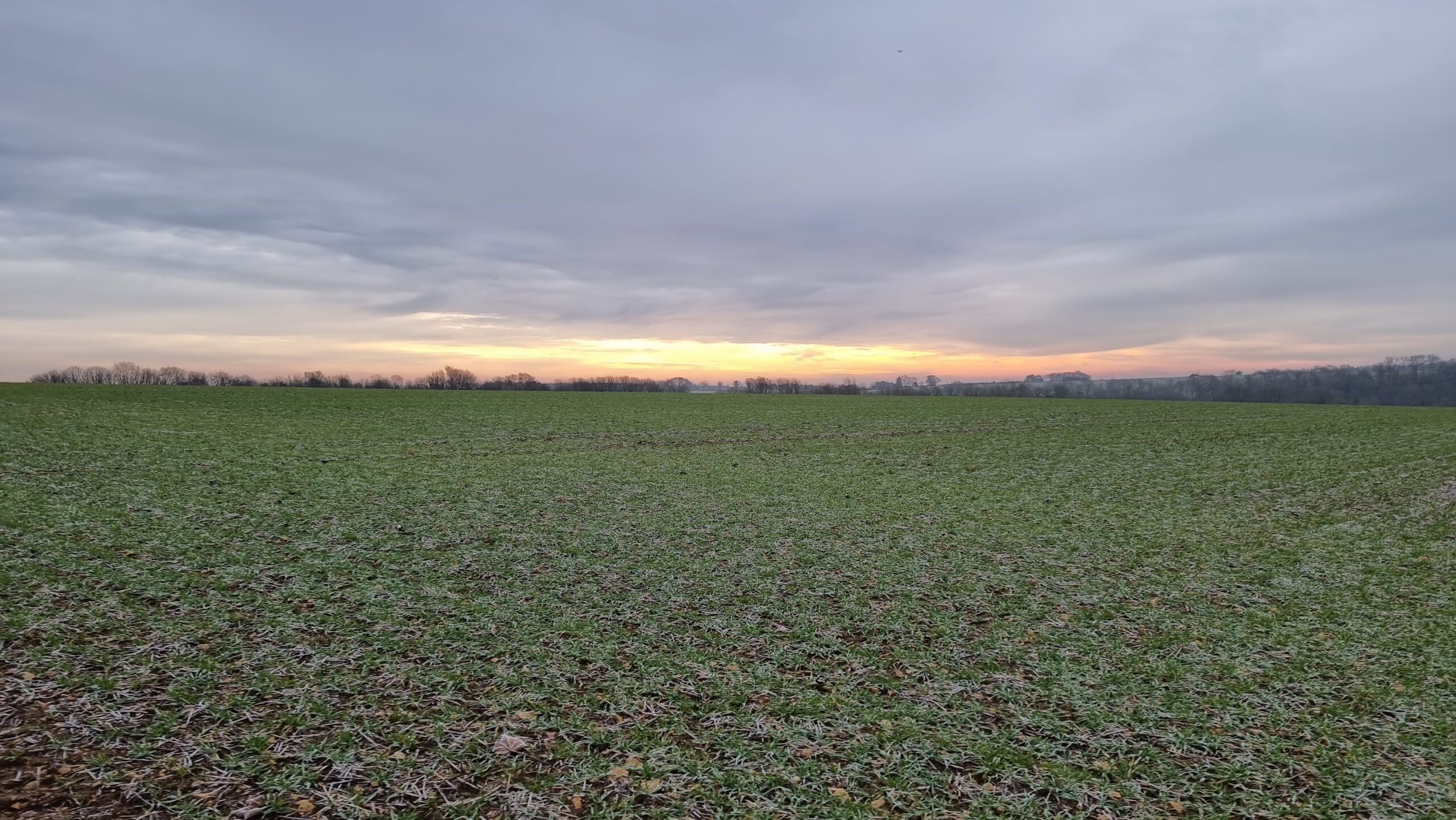
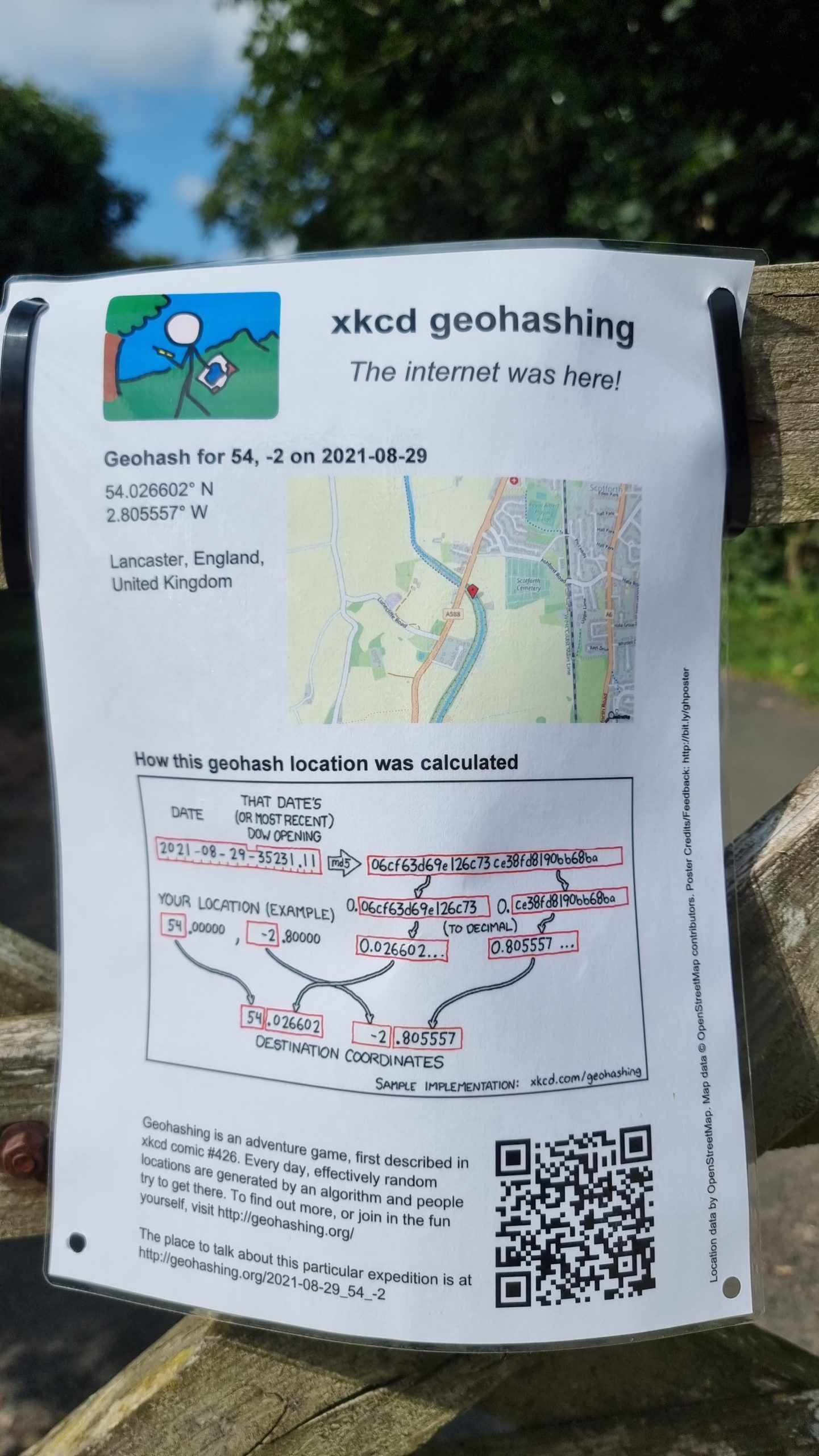
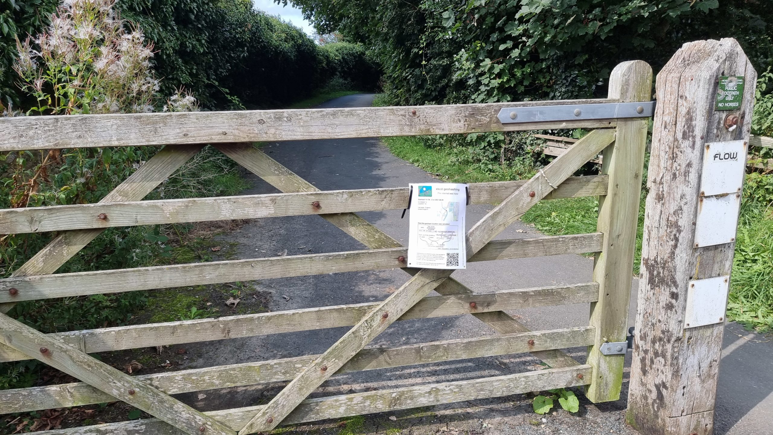
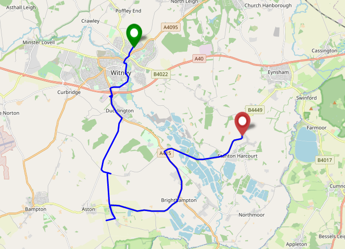
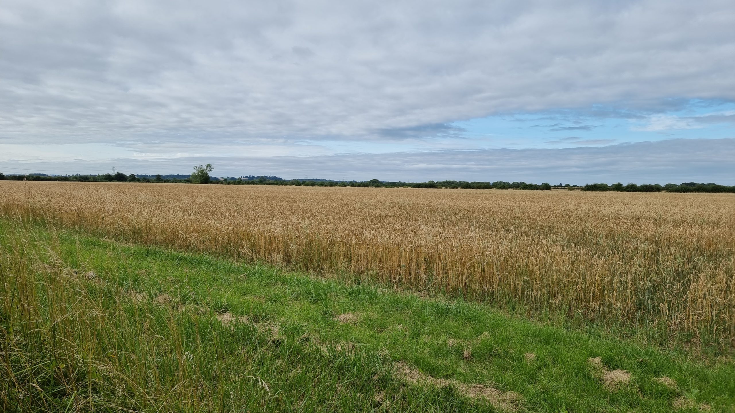
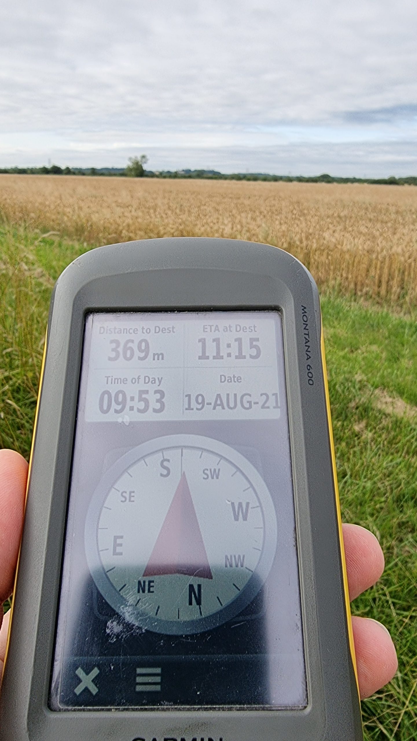
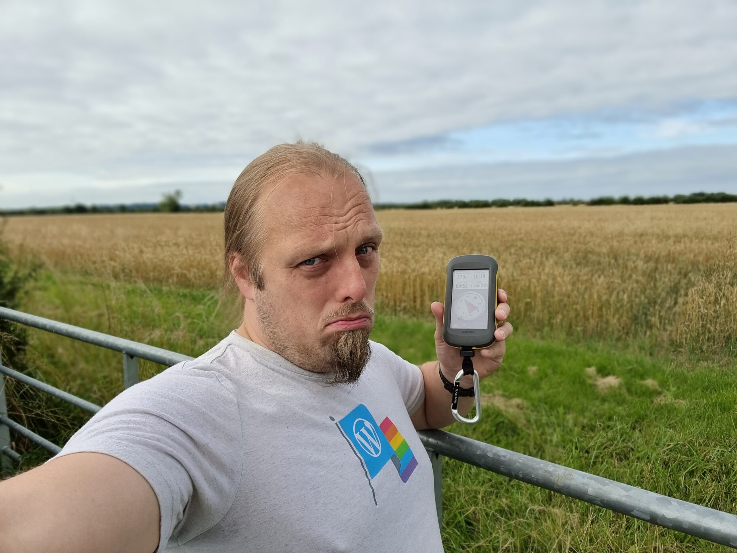
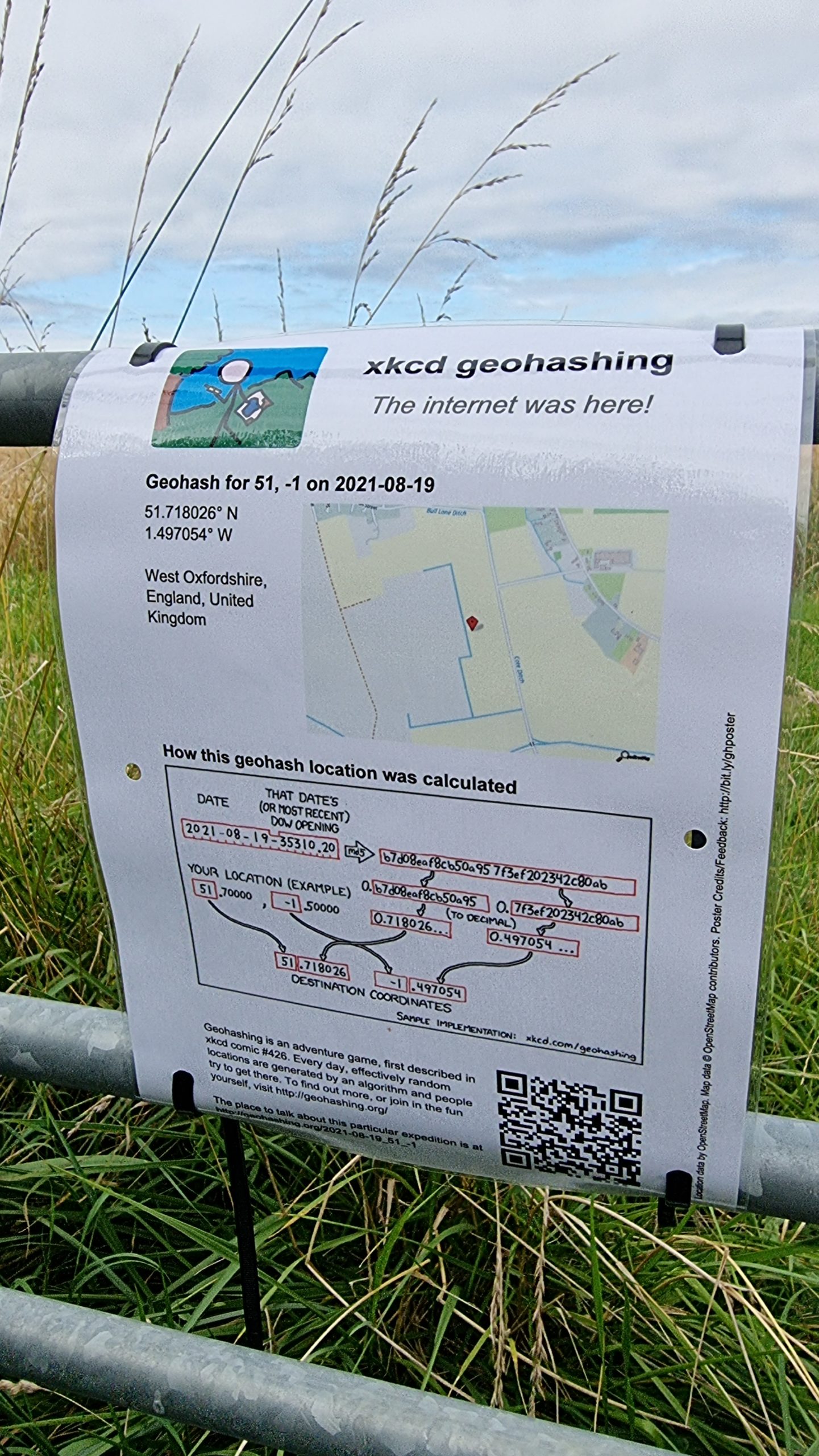
I’m sure everybody knows I do a modest amount of geocaching and geohashing.4
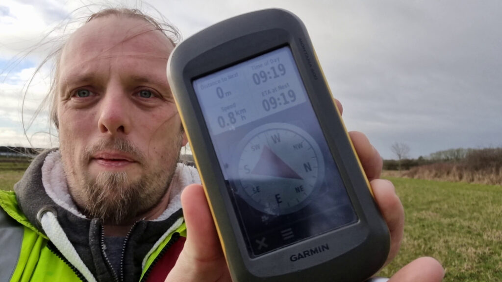
They’re not the only satnav-based activities I do at least partially “for fun” though! I contribute to OpenStreetMap, often through the “gamified” experience of the StreetComplete app, and I’m very slowly creeping up the leader board at OpenBenches. Are these “play”? Sure, maybe.
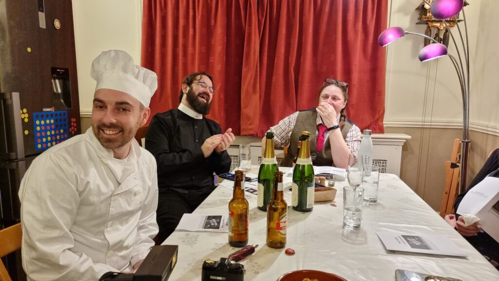
And all of the above is merely the structured kinds of play I engage in. Playing “let’s pretend”-style games with the kids (even when they make it really, really weird) adds a whole extra aspect. Also there’s the increasingly-rare murder mystery parties we sometimes hold: does that count as roleplaying, or some other kind of play?
Suffice to say, there’s plenty of play in my life, it’s quite varied and diverse, and there is, if anything, not enough of it!
Footnotes
1 I say that, and yet somehow Steam tells me that one of my most-played games this year was Starfield, which was… meh? Apparently compelling enough that I’ve “ascended” twice, but in hindsight I wish I hadn’t bothered.
2 Someday my group and I will finish Pandemic Legacy: Season 2 so we can get started on Season 0 which has sat unplayed on my shelves since I got it… oooh… two or three years ago‽
3 This Christmas, I got each of them their first “legacy” game: Zombie Kids for the younger one, My City for the elder. They both seem pretty good.
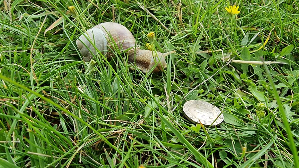
4 Geocaching is where you use military satellite networks to find lost tupperware. Geohashing uses the same technology but what you find is a whole lot of nothing. I don’t think I can explain why I find the latter more-compelling.