This checkin to geohash 2026-05-06 51 -1 reflects a geohashing expedition. See more of Dan's hash logs.
Location
Large field near Tawny’s Farm, East of Stanton Harcourt.
Participants
Plans
Between dropping the kids off at school and going to the dentist I had a small window of time in the vicinity of this hashpoint. Could I make it? I figured I’d rush out there and find out. It’d all depend on whether the field was actively in-use (I’m not gonna go tramping through crops!).
Expedition
I’ve been sort-of distracted from geohashing after my house flooded and I had to evacuate earlier this year, so I’ve not had much opportunity to get out and participate. But today, that changed!
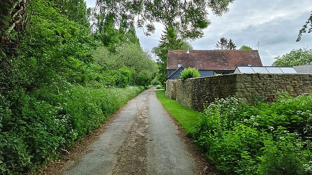
After dropping the kids at their schools I drove to Manor Cottages at 51.746, -1.396 where I knew I’d be able to park, then set off at a jog down the rest of Steadys Lane and onto the permissive footpath beyond. I waved to a solitary walker coming the other way, and pressed on until I was close to the field.
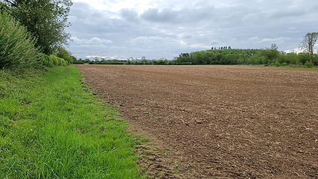
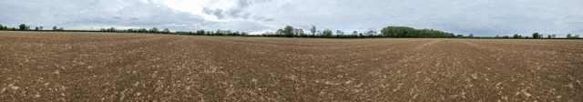
Satellite photography suggested that I wouldn’t be able to enter the field directly, so I hopped a gate into the field West of it and was pleased to discover that neither field was currently cultivated.
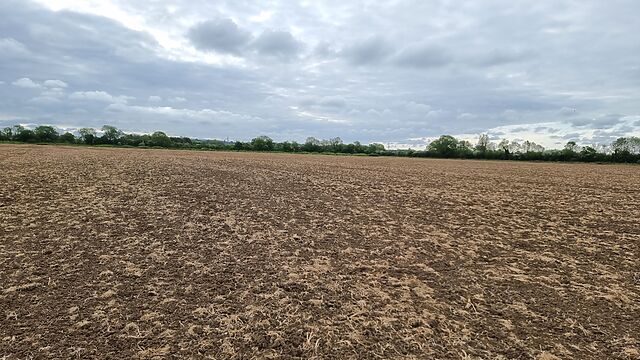
The hashpoint turned out to be about 700 metres into the field, and it felt sort of open and exposed to go tramping right across the middle of it, but sure enough that’s where I reached the circle of uncertainty, at 08:53.

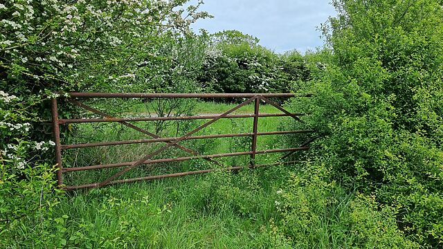
Coming back, I spotted a disused and rusty old gate that provided easier access to the field, which provided a quicker way back to the footpath.
Tracklog
No tracklog today. 😢 I’m not sure if I’ve seen my GPSr since the flood, so I was just working off my my phone.
Hey DanQ
Congrats to your todays success!
Welcome back to geohashing after over a year!
I’m so sorry about what happened to your house! Most importantly, I hope your family (and dog) are okay!
I wish you lots of strength with the drying and/or renovations.
Greetings from Switzerland
globescorer