
Tag: walking
-
It wasn't until I made time for myself to get out into the countryside near my home and take the dog for a walk that I realised how much stress I'd been putting myself under during my team meetup, this week.
Istanbul was enjoyable and fascinating, and I love my team, but I always forget until after the fact how much a few days worth of city crowds can make me feel anxious and trapped.
It's good to get a mile or two from the nearest other human and decompress!
Alt
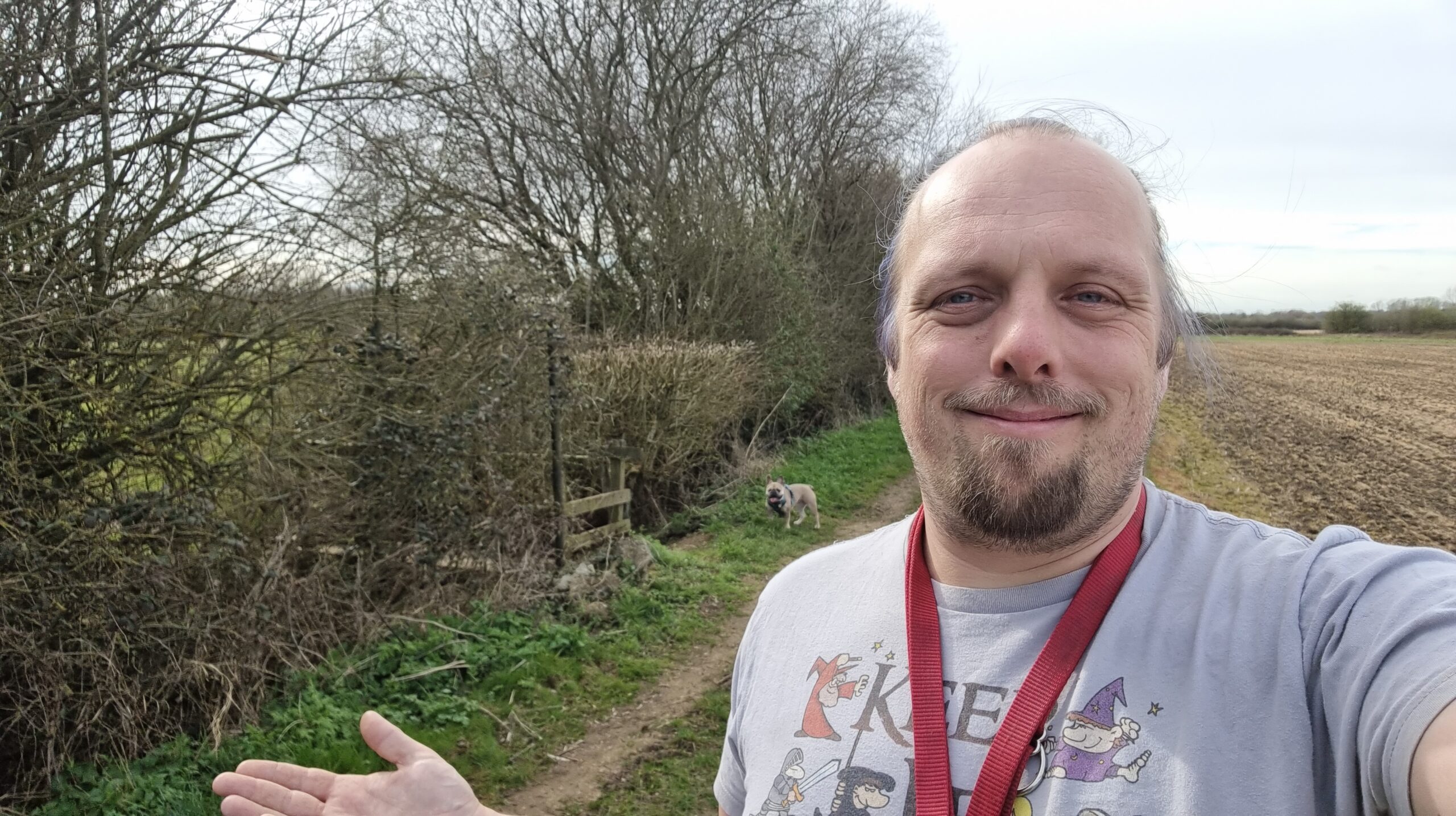
Dan, a red leash hung across his shoulders, gives a half-shrug as he smiles for a selfie on a grassy trail between a hedgerow and a field. Behind him, near a weathered old-fashioned footpath sign, his French Bulldog looks at him expectantly.
-
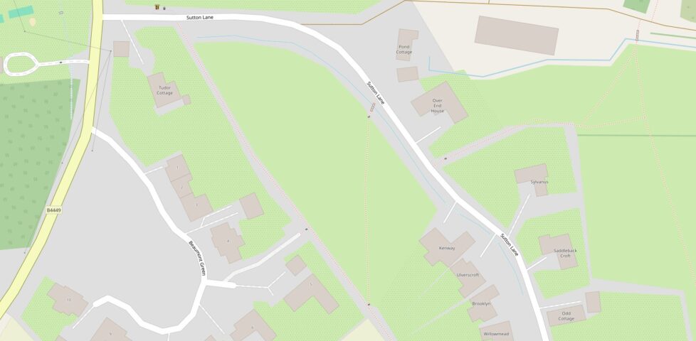
OpenStreetMap rocks (especially on foot)
OpenStreetMap blows Google Maps out of the water for walkers and also for if you're trying to find a particular-named house in a rural area. I'm not saying never to use Google Maps (there's plenty of things it's the king at): but maybe consider giving OpenStreetMap a go next time you need a digital map?
-
A lunchtime dog walk was made especially delightful by the growing warmth of the approaching British springtime. It's really bright and pretty out, this afternoon!
Alt
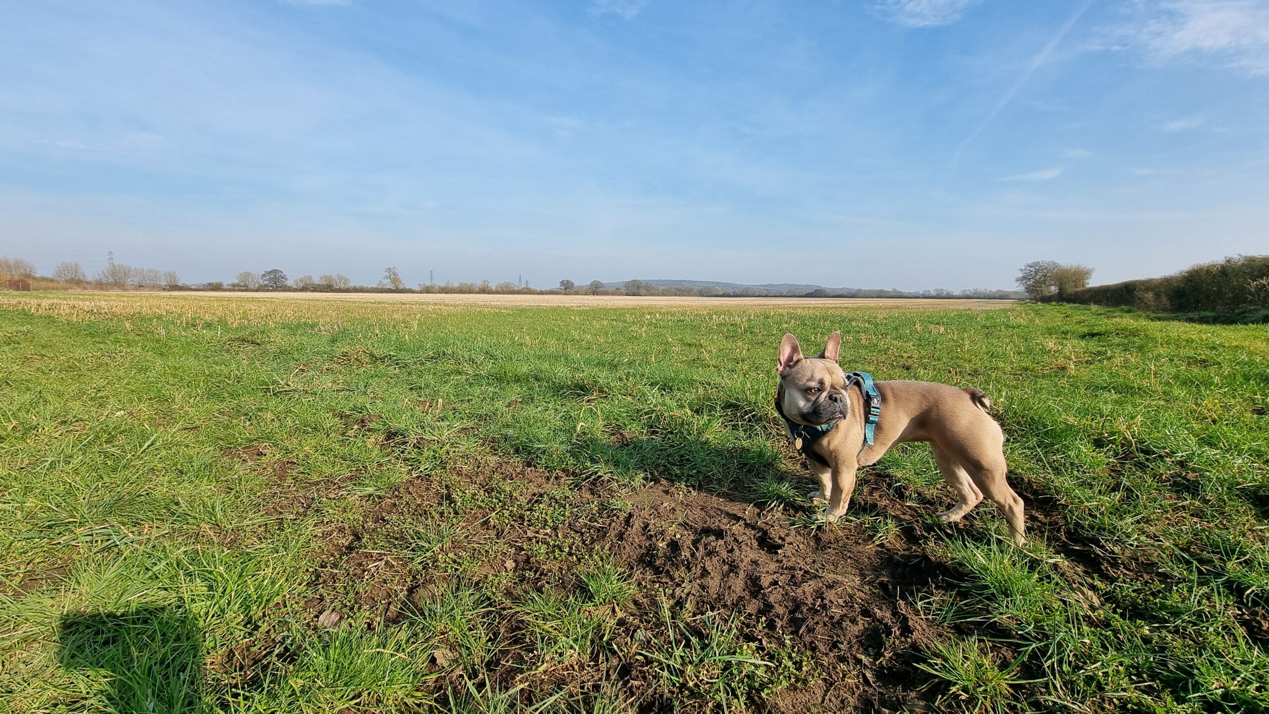
A French Bulldog in a harness but no lead stands in front of a empty field, under bright blue skies with sparse clouds. Bare wintery trees can be seen in the background, bathed in warm yellow light.
-
On Wednesday, Vodafone announced that they'd made the first ever satellite video call from a stock mobile phone in an area with no terrestrial signal. They used a mountain in Wales for their experiment.
It reminded me of an experiment of my own, way back in around 1999, which I probably should have made a bigger deal of. I believe that I was the first person to ever send an email from the top of Yr Wyddfa/Snowdon.
Nowadays, that's an easy thing to do. You pull your phone out and send it. But back then, I needed to use a Psion 5mx palmtop, communicating over an infared link using a custom driver (if you ever wondered why I know my AT-commands by heart... well, this isn't exactly why, but it's a better story than the truth) to a Nokia 7110 (fortunately it was cloudy enough to not interfere with the 9,600 baud IrDA connection while I positioned the devices atop the trig point), which engaged a GSM 2G connection, over which I was able to send an email to myself, cc:'d to a few friends.
It's not an exciting story. It's not even much of a claim to fame. But there you have it: I was (probably) the first person to send an email from the summit of Yr Wyddfa. (If you beat me to it, let me know!)
-
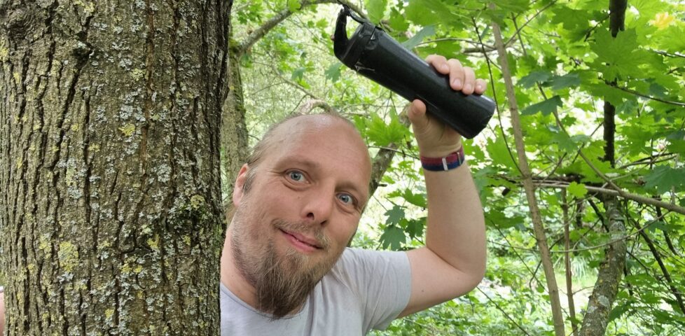
Found GC4PYCF Thames Path - Floodproof
This checkin to GC4PYCF Thames Path - Floodproof reflects a geocaching.com log entry. See more of Dan's cache logs. Excellent cache, which I was pleased to observe has the largest conceivable container possible for its hiding place: nice one! I love a good treetop cache!
Once I'd free the right tree, getting up was relatively easy: … -
Found GC8NW44 Thames Path - 91-DIVOC
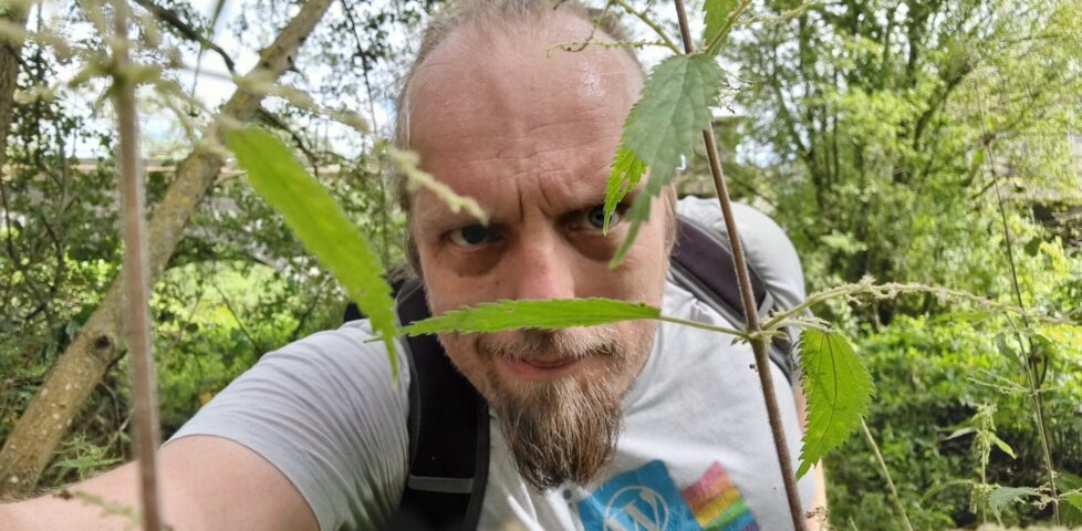
This checkin to GC8NW44 Thames Path - 91-DIVOC reflects a geocaching.com log entry. See more of Dan's cache logs. Not convinced they my route through the 2m nettles to reach the host was optimal, but I made it through to this decent sized cache relatively unscathed. TFTC!
-
Found GC4QAER Howard
This checkin to GC4QAER Howard reflects a geocaching.com log entry. See more of Dan's cache logs. Found without difficulty but at W 001°14'16.7886", N 51°40'12.5960": the cache description provides a good clue though so it was easy to get back on track. TFTC
-
Wrote note for GC4QAED Leonard
This checkin to GC4QAED Leonard reflects a geocaching.com log entry. See more of Dan's cache logs. Skipped this one as I'm still playing catchup to the rest of my group and wasn't interested in a long search. Many previous finders note that the coordinates are significantly off but I couldn't see anybody posting alternates. Maybe …
-
Found GC4QAE6 Bernadette
This checkin to GC4QAE6 Bernadette reflects a geocaching.com log entry. See more of Dan's cache logs. After a brief overshoot - too excited to finally be catching up to Ruth and the rest of my squad! - doubled back to find this easy location. Cache was lying on the floor which I assume isn't the …
-
Found GC4QADE Penny - bonkers for conkers
This checkin to GC4QADE Penny - bonkers for conkers reflects a geocaching.com log entry. See more of Dan's cache logs. No difficulty with this QEF; title clue plus a little botany had me stop in exactly the right place. And the tall nettles weren't any risk to me with long trousers! TFTC.
-
Did not find GC4QADB Sheldon
This checkin to GC4QADB Sheldon reflects a geocaching.com log entry. See more of Dan's cache logs. No luck here. Couldn't spare more than a little while to hunt without Ruth and the rest of the Thames Path Source-to-Mouth party getting too far ahead but spent that time getting thoroughly nettled. They're fierce around here! Maybe …
-
Found GC2W97E Messing about by the river
This checkin to GC2W97E Messing about by the river reflects a geocaching.com log entry. See more of Dan's cache logs. Found after a brief search while accompanying my partner Ruth on the latest leg of her effort to (by instalments) walk the entire length of the Thames from its source to its mouth. Initially looked …
-
Found GC4QADR Raj
This checkin to GC4QADR Raj reflects a geocaching.com log entry. See more of Dan's cache logs. Another QEF down this stretch of the Thames Path. Having to jog to catch up with my party now! Cache container camouflage slightly damaged but still plenty good for concealment so long as it's stored the right way up! …
-
"Walking" the dog
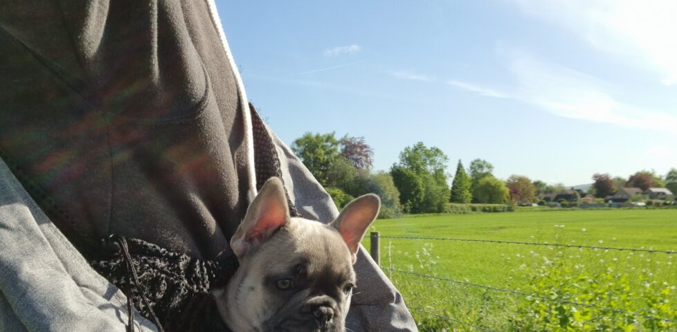
Brought Demmy out on the school run for her first "walk", this morning.
-
Thames Path 2
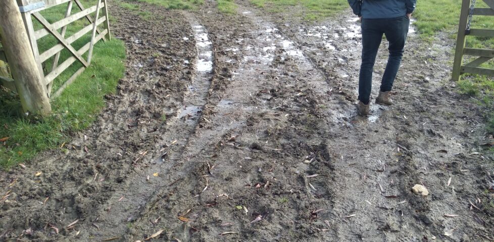
Dan's partner Ruth and her brother Robin are walking the Thames Path over many instalments, and Dan suggests you read-along!