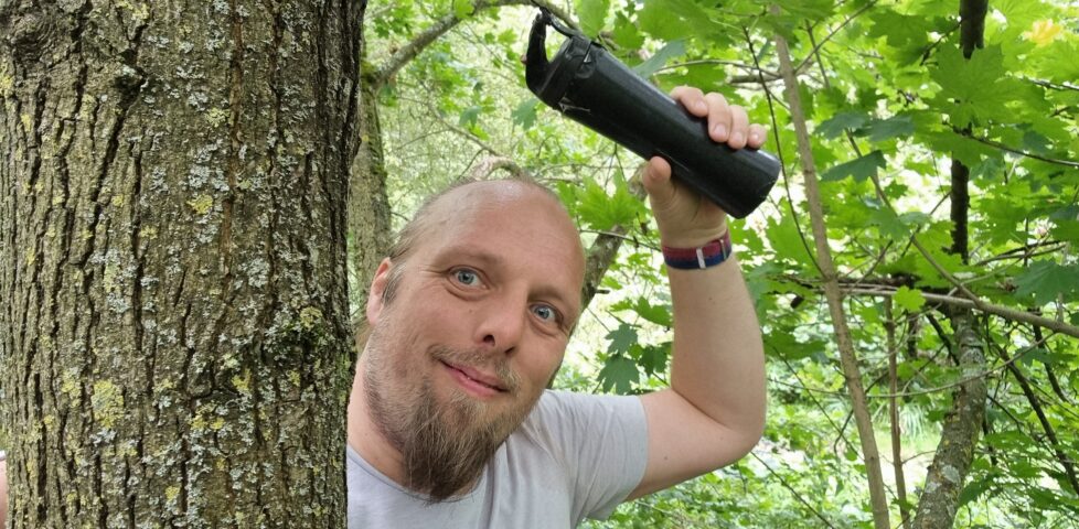
This checkin to GC79TJF Benvinguts a la Secuita. Camí de sortida. reflects a geocaching.com log entry. See more of Dan's cache logs.
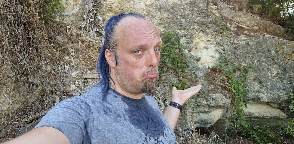
Despite a long (and sweaty) search up here, I’m going to have to give up!
This checkin to GC79TJF Benvinguts a la Secuita. Camí de sortida. reflects a geocaching.com log entry. See more of Dan's cache logs.
Despite a long (and sweaty) search up here, I’m going to have to give up!
This checkin to GCBMAKQ #17 Northmoor Loop reflects a geocaching.com log entry. See more of Dan's cache logs.
TOTT? Hah! I laugh in the face of your arbitrary requirements. 😂 A little climbing and a big stretch put this cache in my hand with no need for field manufacturing. The dog watched on, bemused, from the path.
This checkin to GC47GDB Kiln Crag - Knipescar reflects a geocaching.com log entry. See more of Dan's cache logs.
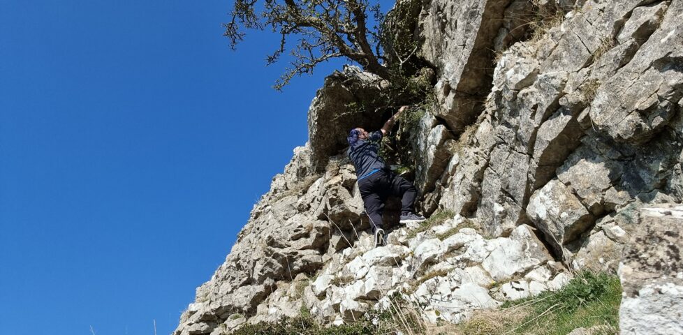
A bit of an adventure! Coming directly from the next nearest cache on this pasture I first arrived some way above the GZ. Being a little wary of cliffs since my dad’s death1, I opted to loop around and approach from below.
The scramble wasn’t especially hard, but it was unfruitful. Several attempts at the hint location, climbing and reaching, revealed nothing at all.
I decided to descend, find a spot of soft grass, and take a break, perhaps to look at the recent logs in case they revealed a clue: something I’d missed. And there, in the spot I chose for my rest… I found the cache! It must have been dislodged, perhaps over the winter rains, and fallen from its hiding place. The container is cracked (though it might have been already, based on the logs) and the logbook has clearly been wet and re-dried, but free cache was intact enough to sign the log.
I returned the container to what I suspect must have been its correct home, based on the hint. Hopefully it’ll stay nestled safely there until the next cacher comes this way! TFTC!
1 He fell off a cliff off High Street, just over the valley: what a tragic coincidence it would be for me to go the same way, so nearby!
This checkin to GC1DH7W Knipe Scar - On the Edge reflects a geocaching.com log entry. See more of Dan's cache logs.
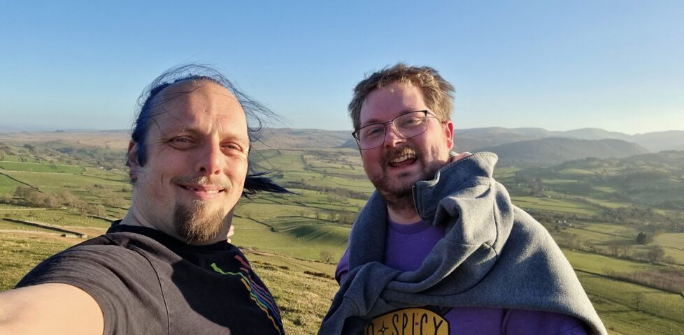
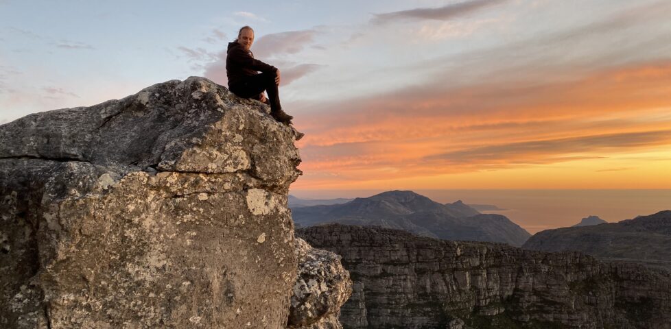
A swift uphill scramble for my friend and fellow volunteer John and I, before dinner. We’re staying in a nearby farmhouse for a week of volunteer work, writing software to help charities. Beautiful view from the summit this evening! SL, TNLN, TFTC!
On Wednesday, Vodafone announced that they’d made the first ever satellite video call from a stock mobile phone in an area with no terrestrial signal. They used a mountain in Wales for their experiment.
It reminded me of an experiment of my own, way back in around 1999, which I probably should have made a bigger deal of. I believe that I was the first person to ever send an email from the top of Yr Wyddfa/Snowdon.
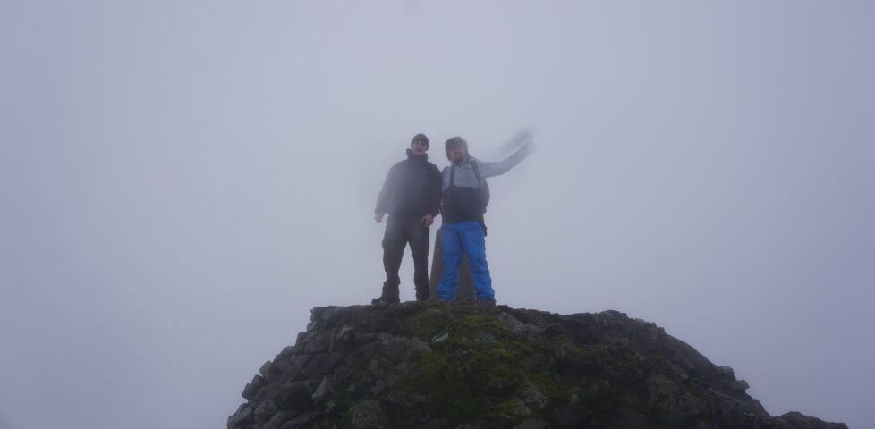
Nowadays, that’s an easy thing to do. You pull your phone out and send it. But back then, I needed to use a Psion 5mx palmtop, communicating over an infared link using a custom driver (if you ever wondered why I know my AT-commands by heart… well, this isn’t exactly why, but it’s a better story than the truth) to a Nokia 7110 (fortunately it was cloudy enough to not interfere with the 9,600 baud IrDA connection while I positioned the devices atop the trig point), which engaged a GSM 2G connection, over which I was able to send an email to myself, cc:’d to a few friends.
It’s not an exciting story. It’s not even much of a claim to fame. But there you have it: I was (probably) the first person to send an email from the summit of Yr Wyddfa. (If you beat me to it, let me know!)
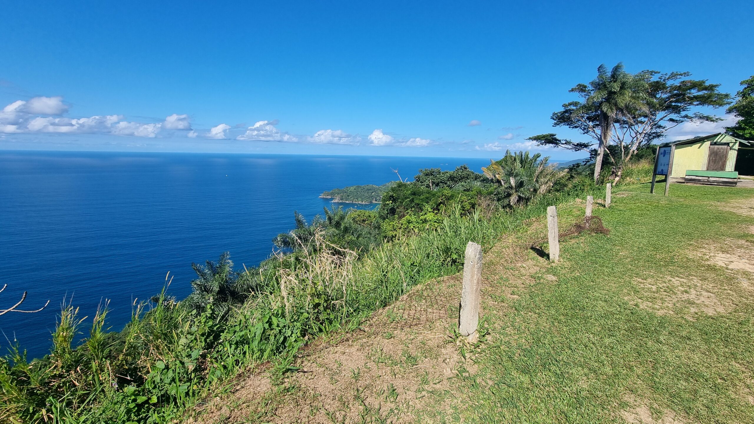
After driving 300 (vertical) metres up a terrifyingly winding road, we find ourself at ‘Top if the World’, one of Tobago’s highest points. Being able to look down the steep sides of this long-extinct volcano to the sea on both sides is quite spectacular, and the Caribbean and Atlantic horizons seem so far away that you can almost believe you’re seeing the Earth curve.
My camera fails to do this view justice.
This checkin to GC9DV66 GST 56 - Pet tube in tree reflects a geocaching.com log entry. See more of Dan's cache logs.
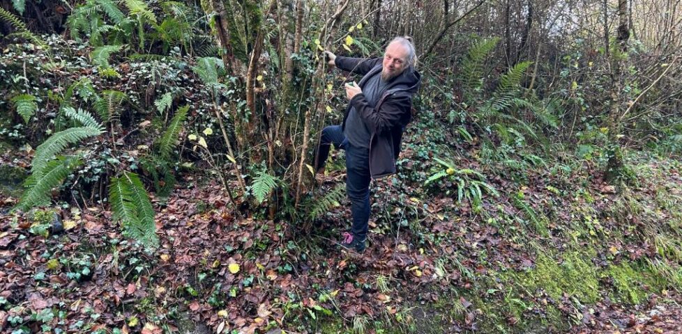
After a brief search on the wrong side of the path, we eventually spotted the correct host and – after a running leap, pictured – soon had the cache in hand. TFTC!
This checkin to GC4PYCF Thames Path - Floodproof reflects a geocaching.com log entry. See more of Dan's cache logs.
Excellent cache, which I was pleased to observe has the largest conceivable container possible for its hiding place: nice one! I love a good treetop cache!
Once I’d free the right tree, getting up was relatively easy: the limb next over from the one mentioned in the hint provided a good launching-off point and a short scramble later I was sat at height with the container in hand. Getting down, though, proved more challenging as I slipped on a low bough and plummeted to the ground!
Aside from my pride, the biggest injury was to my thumb, which nicked some kind of fierce plant on the way down and is bleeding as I type this. Still 100% a worthwhile effort to find a great cache, so an FP awarded.
Now I’ve gotta start jogging again if I’m to have any chance of catching up to my partner Ruth, who I’ve joined in this leg of her effort to walk the entire Thames Path (I swear I didn’t just agree to tag along for the caching opportunities!).
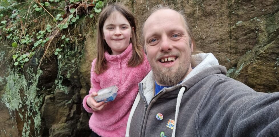
This checkin to GC2WTGE 8~ NUDDSY MEGA RAMBLE reflects a geocaching.com log entry. See more of Dan's cache logs.
A challenging and courageous scramble by the eldest (who turned 10 yesterday!) and I (who turned 43 today!) up the slippery wet leaves to reach the GZ. I stopped to double check the proximity and meanwhile the little one found it! Thanks for the enjoyable birthday scramble, and TFTC!
Is there a name for that experience when you forget for a moment that somebody’s dead?
For a year or so after my dad’s death 11 years ago I’d routinely have that moment: when I’d go “I should tell my dad about this!”, followed immediately by an “Oh… no, I can’t, can I?”. Then, of course, it got rarer. It happened in 2017, but I don’t know if it happened again after that – maybe once? – until last week.
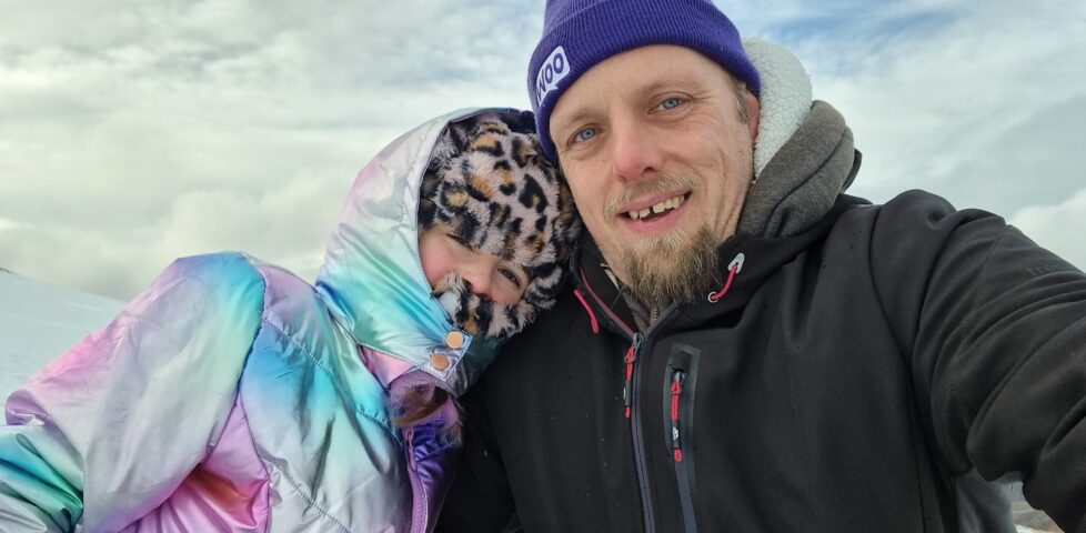
I wonder if subconsciously I was aware that the anniversary of his death – “Dead Dad Day”, as my sisters and I call it – was coming up? In any case, when I found myself on Cairn Gorm on a family trip and snapped a photo from near the summit, I had a moment where I thought “I should send this picture to my dad”, before once again remembering that nope, that wasn’t possible.
Strange that this can still happen, over a decade on. If there’s a name for the phenomenon, I’d love to know it.
This is a repost promoting content originally published elsewhere. See more things Dan's reposted.
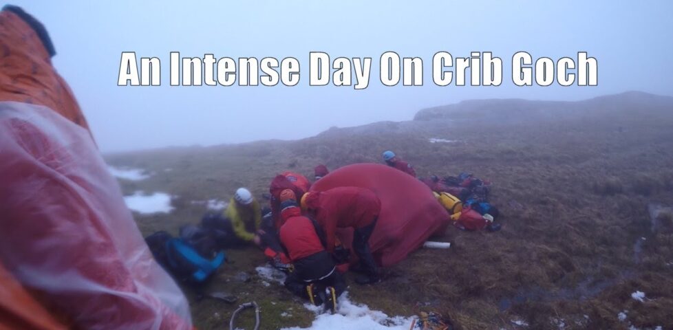
Hiking vlogger Dave shares his expedition around the Snowdon Horseshoe back in March. It’s a fantastic ridge walk that I’ve taken a few times myself. But on this particular expedition, hampered by strong winds and thick cloud cover, a serious accident (very similar to the one that killed my father) occurred. Because Dave was wearing his GoPro we’ve got amazing first-hand footage of the work he and the other climbers on the hill that day did to stabilise the casualty until mountain rescue could come and assist. The whole thing’s pretty epic.
Speaking of which, did you see the jet-suits that are being tested by the Great North Air Ambulance Service? That’d have made getting to my dad faster (though possibly not to any benefit)! Still: immensely cool idea to have jet-propelled paramedics zipping up Lake District slopes; I love it.
For the final week of his 52 Reflect series and as a way to see off the year, Robin and I spent the last weekend of the year near Fort William to facilitate a quick ascent of Ben Nevis. My previous expedition to Britain’s highest point was an excuse for some ice climbing but I hadn’t actually come up the “path” route since an aborted expedition in 2009.
Somehow in the intervening years I’ve gotten way out of practice and even more out of shape because our expedition was hard. Partly that was our fault for choosing to climb on one of the shortest days of the year, requiring that we maintain a better-than-par pace throughout to allow us to get up and down before the sun set (which we actually managed with further time in-hand), but mostly it’s the fact that I’ve neglected my climbing: just about the only routine exercise I get these days is cycling, and with changes in my work/life balance I’m now only doing that for about 40 miles in a typical week.
For the longest time my primary mountaineering-buddy was my dad, who was – prior to his death during a hillwalking accident – a bigger climber and hiker than I’ll ever be. Indeed, I’ve been “pushed on” by trying to keep up with my father enough times that fighting to keep up with Robin at the weekend was second nature. If I want to get back to the point where I’m fit enough for ice climbing again I probably need to start by finding the excuse for getting up a hill once in a while more-often than I do, first, too. Perhaps I can lay some of the blame for my being out of practice in the flat, gentle plains of Oxfordshire?
In any case, it was a worthwhile and enjoyable treat to be able to be part of Robin’s final reflection as well as to end the year somewhat-literally “on a high” by seeing off 2018 in the Scottish Highlands. If you’ve not read his blog about his adventures of the last 52 weekends, you should: whether taking a Boris Bike from Brixton to Brighton (within the rental window) or hitching a ride on an aeroplane, he’s provided a year’s worth of fantastic stories accompanied by some great photography.
And now: time for 2019.
As the days get longer and the weather gets better, woodland trails and city alleyways alike begin to more-frequently see a particular brand of explorer. Clutching GPS devices (or, increasingly, mid- to high-end mobile phones), these satellite-guided adventurers shy away from normal people, whom they call “muggles”. Outwardly, this is out of concern for the continuity of their tiny treasure, but as often as not, it’s because geocachers – and especially urban geocachers, who often don’t even have the excuse of “getting some fresh air” to justify their hobby – are likely to be seen as a little odd., “You do what for a hobby? Find lost lunchboxes?”
I’ve written plenty about geocaching already, but the only important thing to know for this particular anecdote is how geocaches are rated to indicate how hard they are. There are two scales, each scored from one to five “stars”. The first scale is difficulty, which is about how challenging the geocache is to find – a 1-star rating means that it’s in plain sight, not camouflaged, etc., while higher ratings might mean that it’s well-concealed, tiny, disguised as something else, or requires that you solve a puzzle in order to determine where it is. The second scale is terrain, which is about how challenging the geocache is to get to. A 1-star rating is typically accessible by wheelchair – you certainly don’t need to leave paved roads and footpaths to get it; higher ratings might mean steep gradients, tree climbing, long hikes, and so on. The highest terrain ratings often mean that specialised skills or equipment are required (for example, rock climbing gear or a scuba tank).
As you can imagine, caches with a 5-star “terrain” rating are rarer, and are especially uncommon in built-up areas. Half-way up cliffs… deep inside caves… miles out to sea: these are the places you’d expect to see geocaches with the highest level of “terrain” score. So imagine my surprise when I discover GC13WZQ (“Swing Lower”), a geocache with a 1-star “difficulty” rating but a 5-star “terrain” rating, just a few minutes walk from Oxford City Centre. In the seven years this cache has been in place, it had seen fewer than 110 successful visitors: contrast to its neighbour, GCK57Z (“Swing Low”) – a virtual cache less than 10 metres away – which has seen about six times as many visits in only 3 years longer. This, I thought, was a cache I had to see.
Folks recently attempting to find the geocache had reported (OxfordLad, izybuzyfingers, twitcher50) that it had been made inaccessible by the recent addition of boards and barbed wire to the edges of the bridge. Counter-arguments were raised (sandvika, Mad H@ter) to show that this didn’t make the cache inaccessible; it merely made it accessible only by boat, which had already been suggested in the “attributes” for the cache.
I’m not a believer in the idea that any particular geocache can only be found one particular way. Also: I don’t have a boat. So I decided to make an expedition to “Swing Lower” my own damn way. Approaching the bridge under which the cache is located, I immediately saw the boards and barbed wire that had been reported by those that had attempted it earlier in the year. But as I would soon discover, anybody who was put off by a little bit of plywood and the risk of damp feet really wasn’t built of the right stuff to be able to do what was required next. Put simply: boards and barbed wire are the least of your problems when you’re hunting for GC13WZQ.
The bigger challenge was getting to the cache once underneath the bridge. I discovered (perhaps with a little inspiration from “Jackhuber”) that it was possible to brace myself against a pair of the beams that run the length of the bridge and – facing down – shuffle sideways to get to the centre of the bridge. I felt acutely aware of the fact that until I got over the central channel, the depth of the water might not be enough to break my fall (especially if I slipped and fell head-first), but was reassured by the fact that I’d brought fellow ‘cacher and coworker kateevery and she was ready, perhaps not to swim out and get me but at least to call 999, should the need arise.
So there you go. To all of you wusses for whom “there are boards and barbed wire in the way” was an excuse: you hadn’t even begun to face the challenge of “Swing Lower”. I’ve written up a Batman-themed description of the expedition as part of my log report.
This conveniently coincides with the week that I launched my new collection of puzzle geocaches, the Oxford Steganography Series – four geocaches (GC54F78, GC54F7B, GC54F7J, GC54F7N) whose coordinates are concealed within images or text, each of which contains a transparency film that can be used (I made a video showing how) to determine the coordinates of a fifth, bonus cache. I’m reasonably pleased with the series, and I’ve been enjoying reading the reports of the ‘cachers who’ve been out hunting for them, so far.