This checkin to geohash 2023-07-27 51 -1 reflects a geohashing expedition. See more of Dan's hash logs.
Location
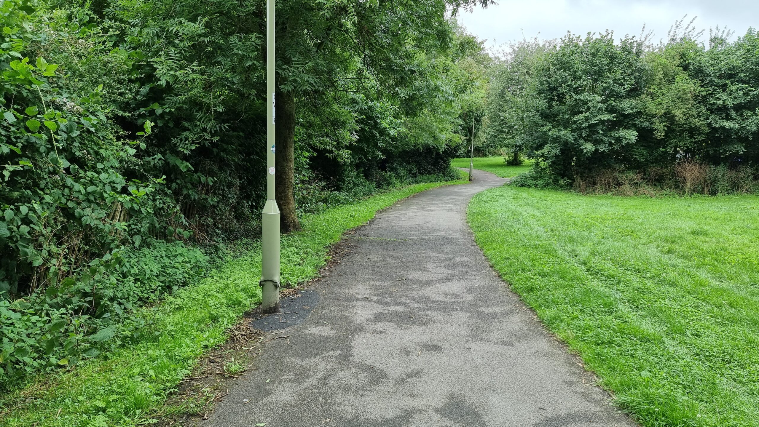
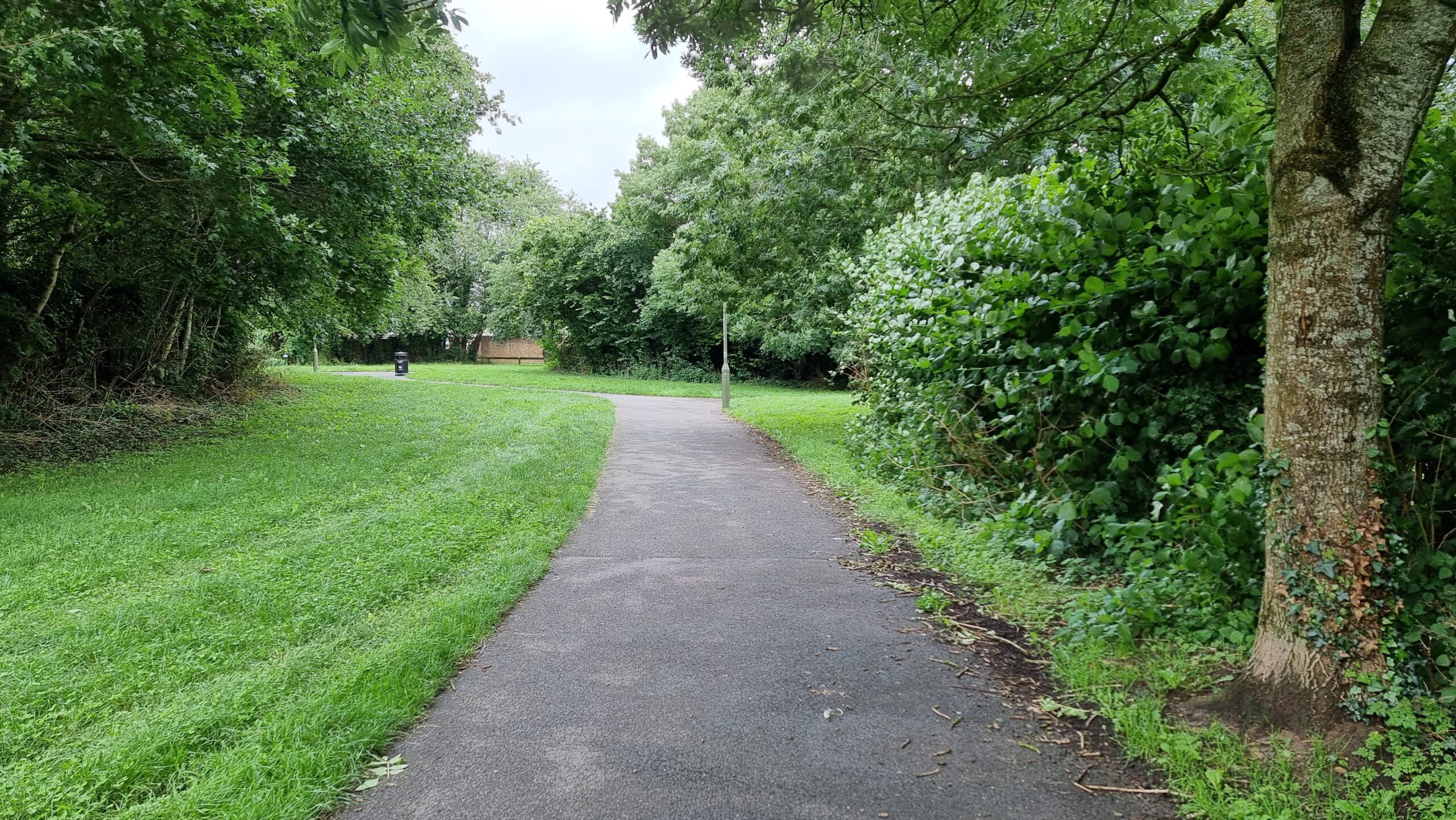
Northern boundary hedge of West Witney Primary School, Witney
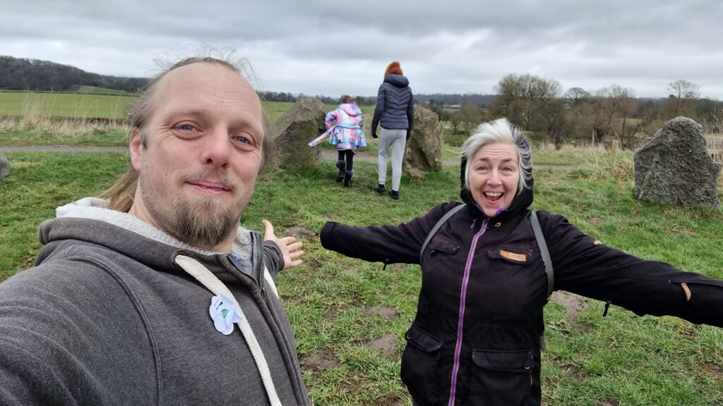
Participants
Expedition
I wasn’t supposed to be here. I was supposed to be on the Isle of Man with my partner, celebrating our 0x10th anniversary. But
this week’s been a week of disasters: my partner lost her job, our plane to the Isle of Man got cancelled, and then I got sick (most-likely, I got to catch airport germs from people I
got to sit next to on an aircraft which was then cancelled before it had a chance to take off). So mostly this week I’ve been sat at home playing video games.
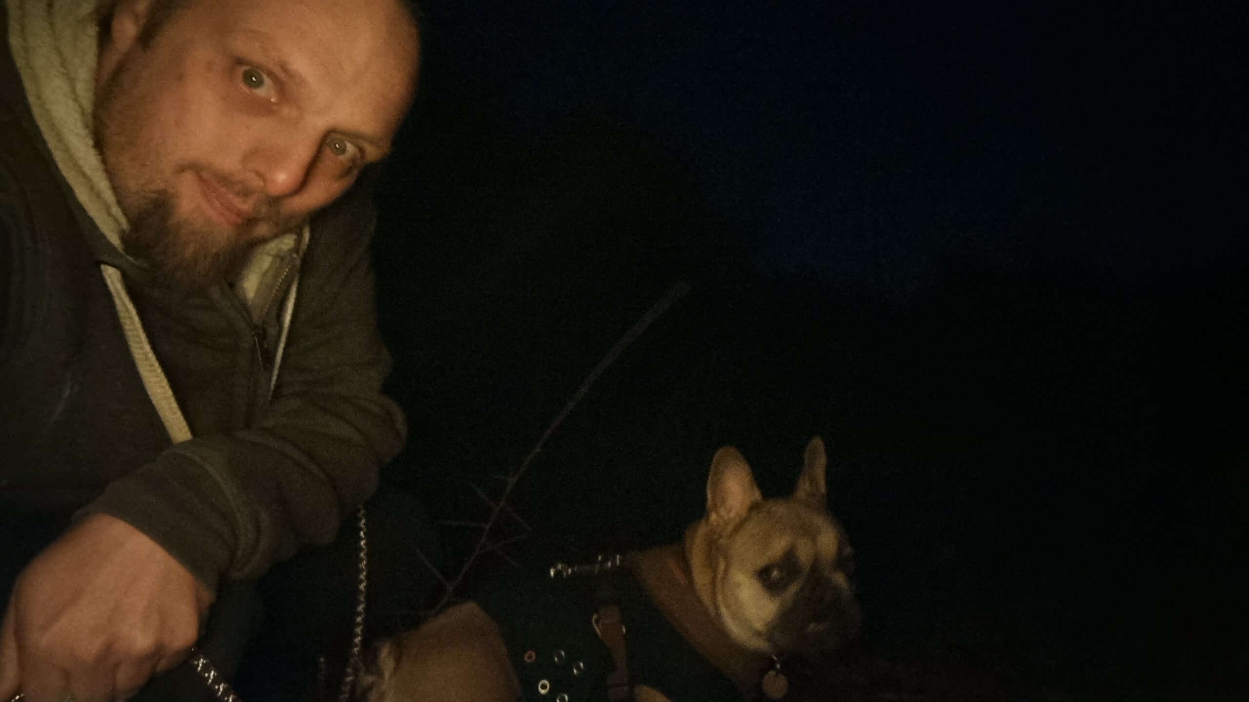
But the dog needed a walk, and my partner needed to go to the supermarket, so I had her drop me and the geopooch off in West Witney to find the hashpoint and then walk to meet them after she’d collected the shopping. I couldn’t find my GPSr, so I used my phone, and it was reporting low accuracy until I rebooted it, by which time I’d walked past the hashpoint and had to double-back, much to the doggo’s confusion.
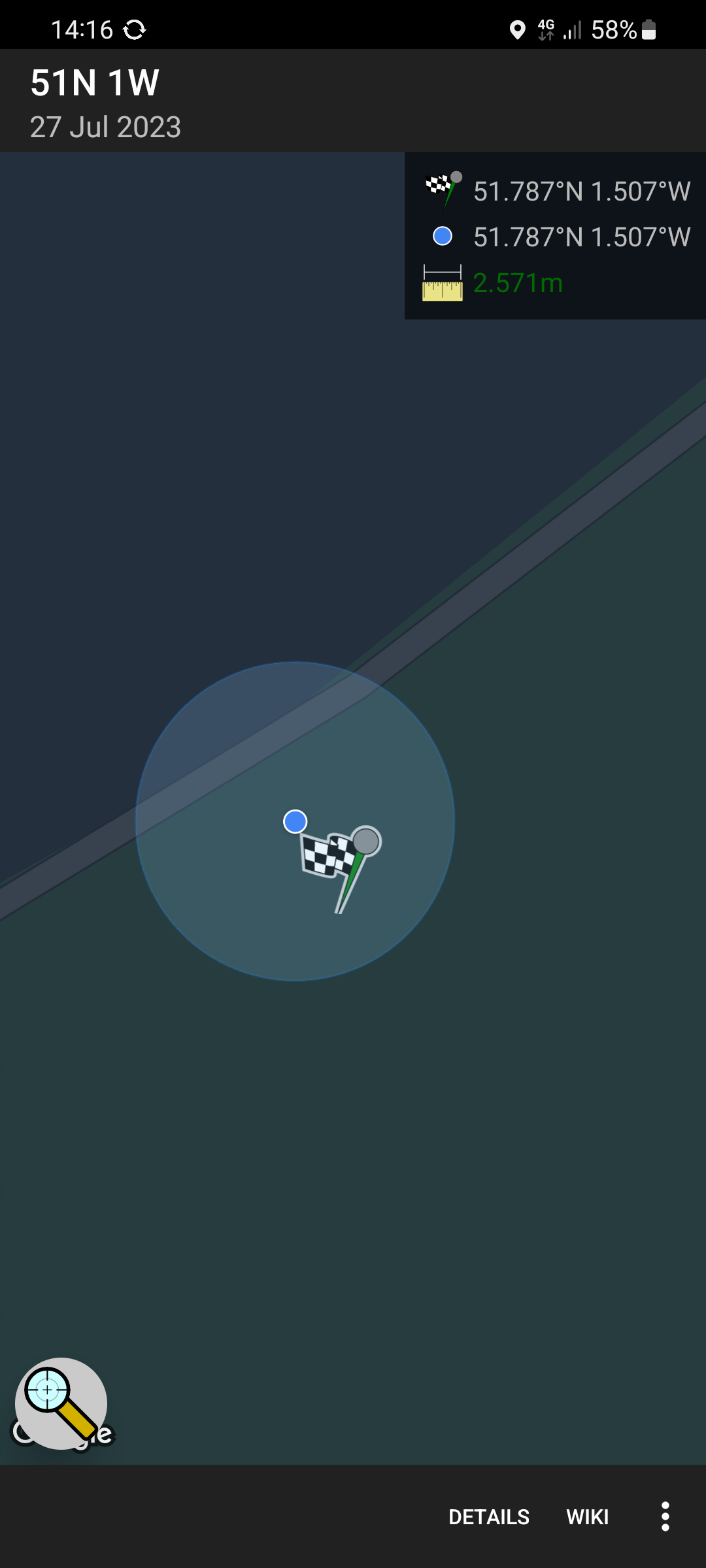
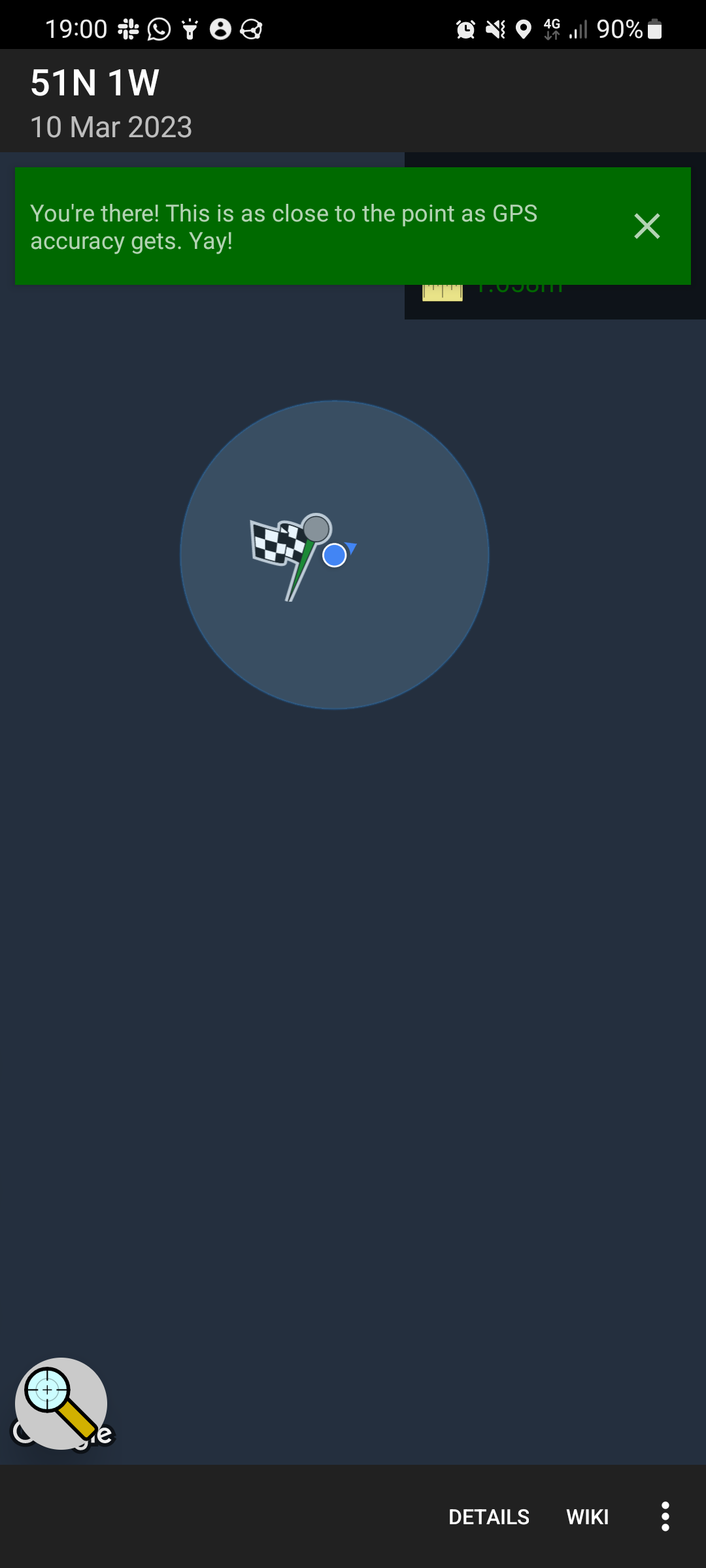
I reached the hashpoint at 14:16 BST (and probably a few points before than, owing to my navigation failure). I needed to stand very close to the fence to get within the circle of uncertainty, but at least I didn’t have to reach through and into the school grounds.
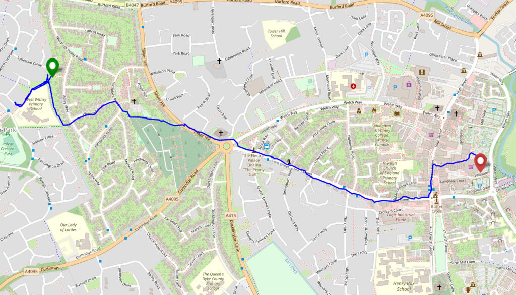
Tracklog
My smartwatch kept a tracklog:
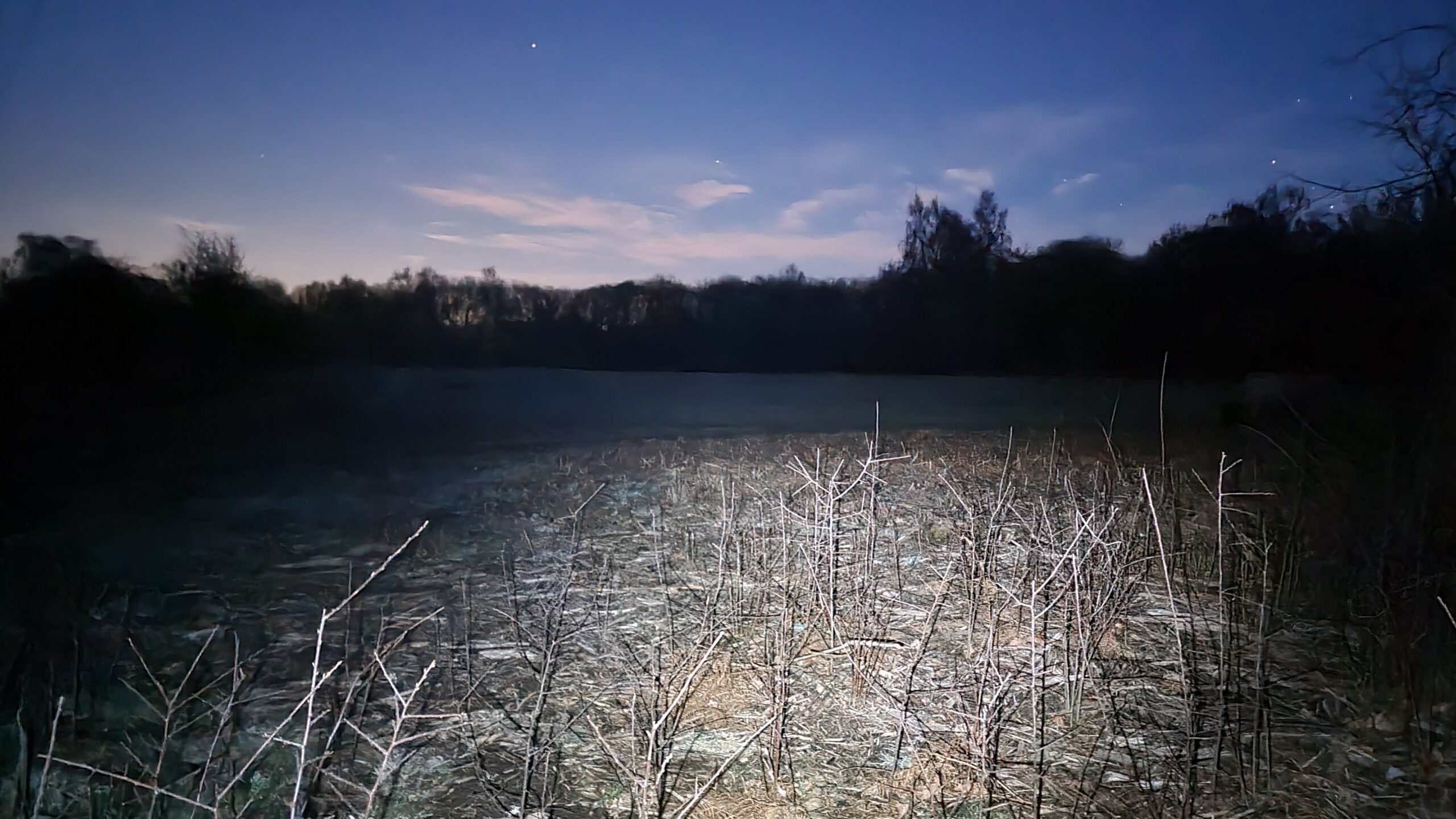
Photos