This checkin to geohash 2021-12-22 51 -2 reflects a geohashing expedition. See more of Dan's hash logs.
Location
East side of Syde; side of a Syde Farm field.
Participants
Plans
I’m going to be going half way here anyway on an errand. Might as well enjoy a morning hike and expand my Minesweeper grid, if I can.
Expedition
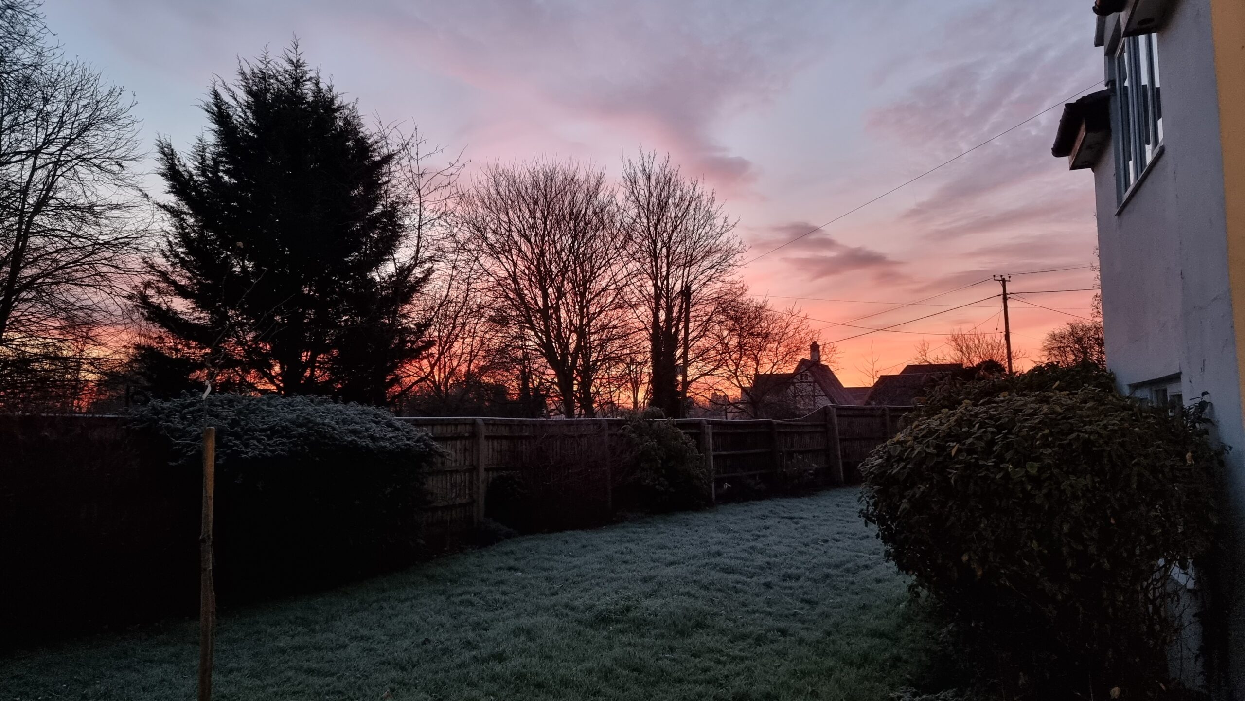
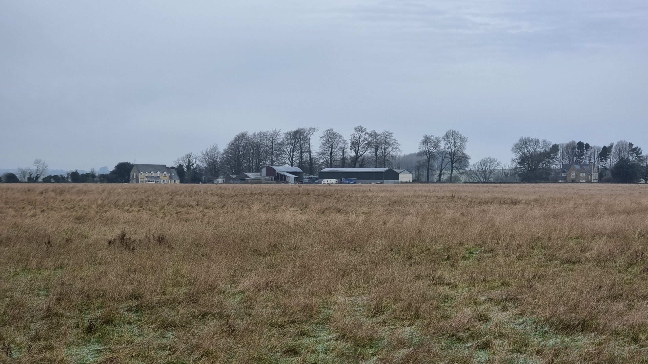
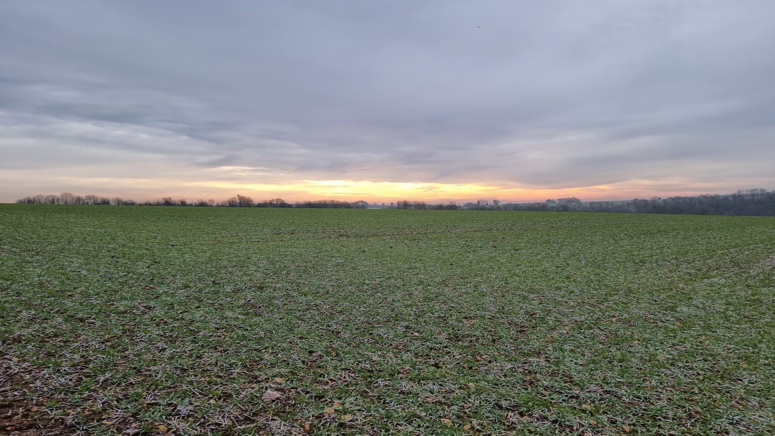
Given that I was driving half way from home to this hashpoint to run an errand anyway, I figured I might as well push the battery on the EV a little further. Coming over the graticule line would, if successful, expand my Minesweeper score, and as it’s such a beautiful frosty morning it seemed like great conditions for a bit of an explore.
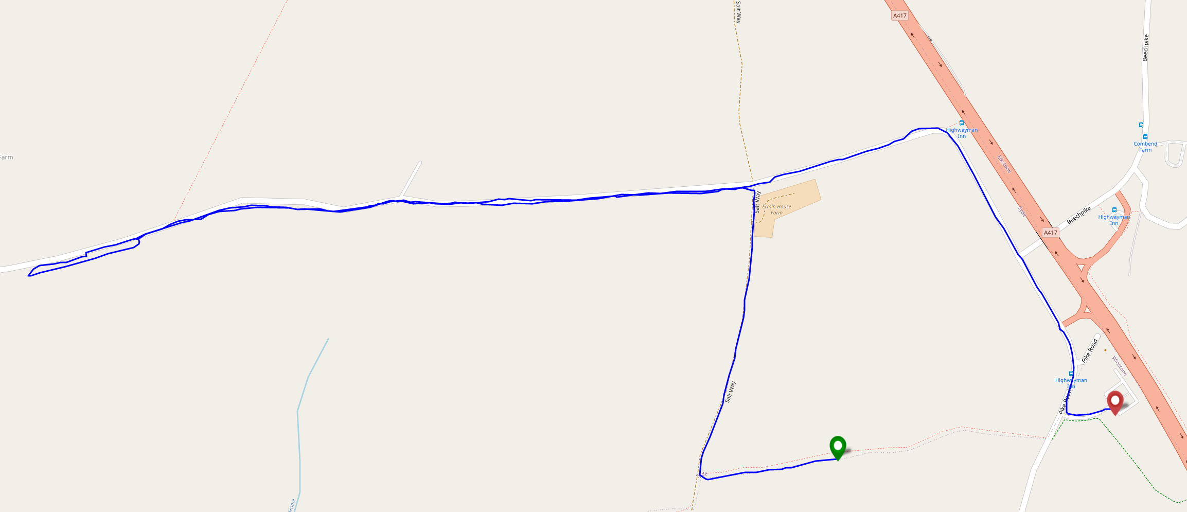
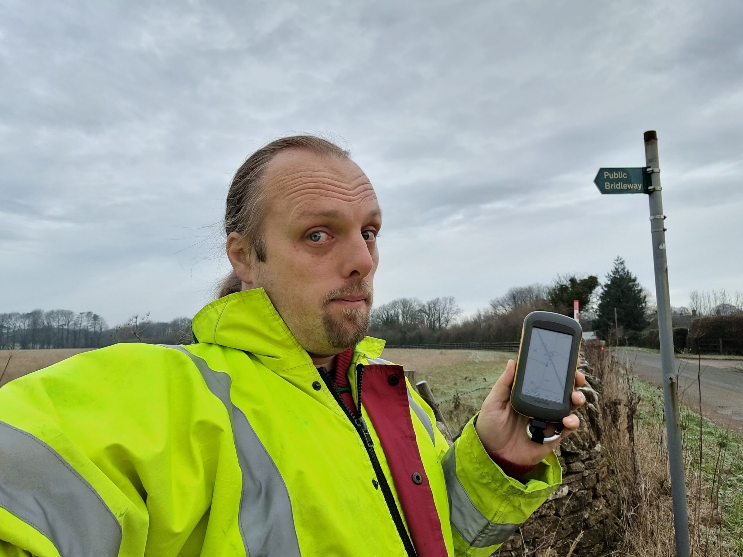
I’d hoped to drive most of the way to the hashpoint and only walk a short distance, but I soon discovered that the nearest road is signposted as being for access to Syde Farm only (and is narrow enough that passing a vehicle coming the other way would be extremely awkward), so I parked up near geocache GC1WXE1 and hiked along a frozen bridleway to get closer to the hashpoint.
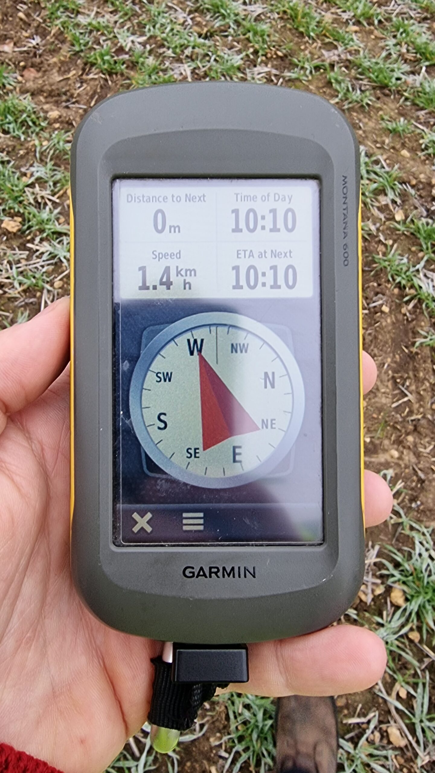
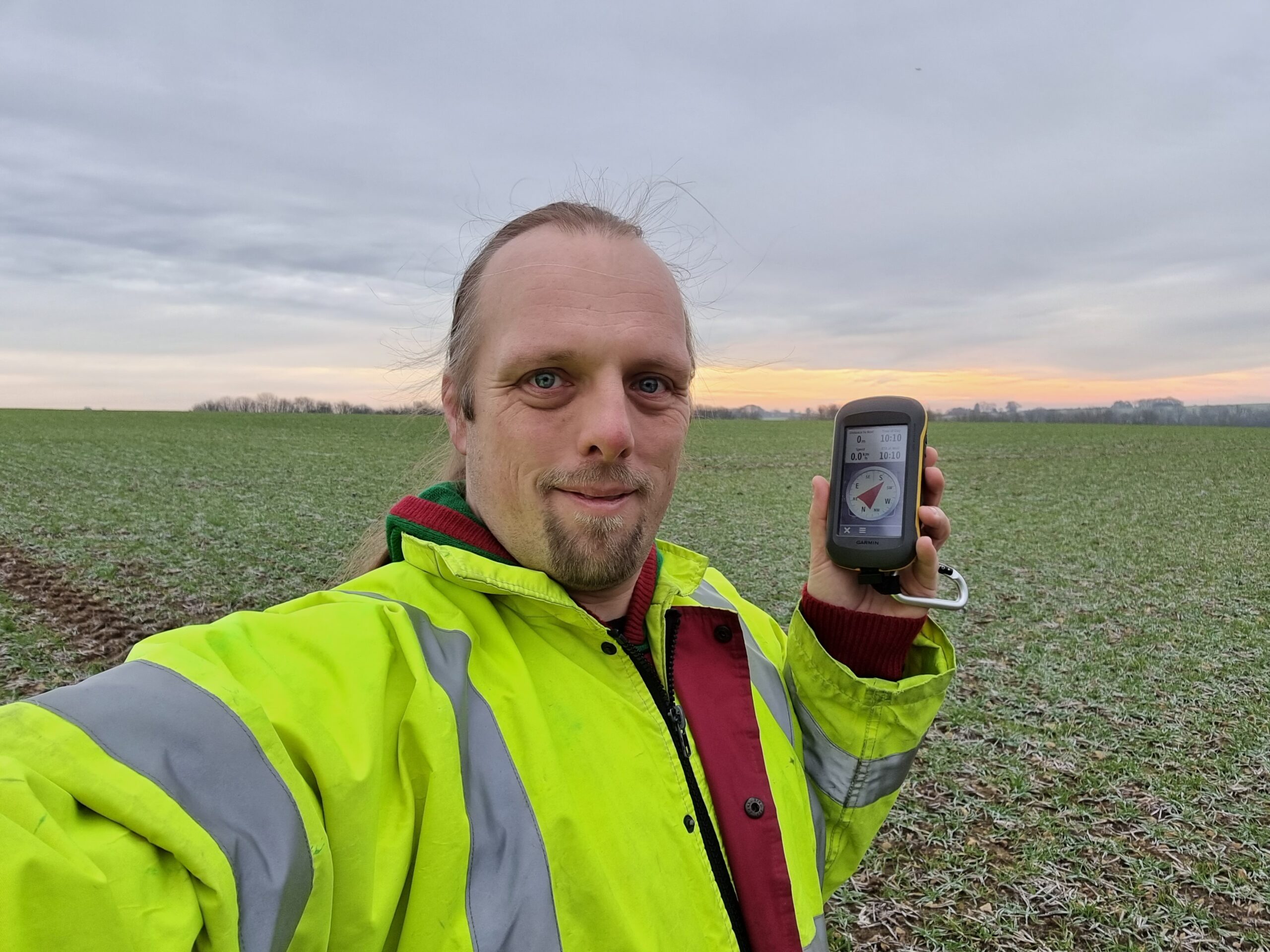
Reached the hashpoint around 10:15, turned around, and headed back, nabbing the geocache on the way. By the time I reached the car my hands were freezing and it was only as I returned my GPSr to my coat pocket that I remembered that I’d been carrying my gloves all along.
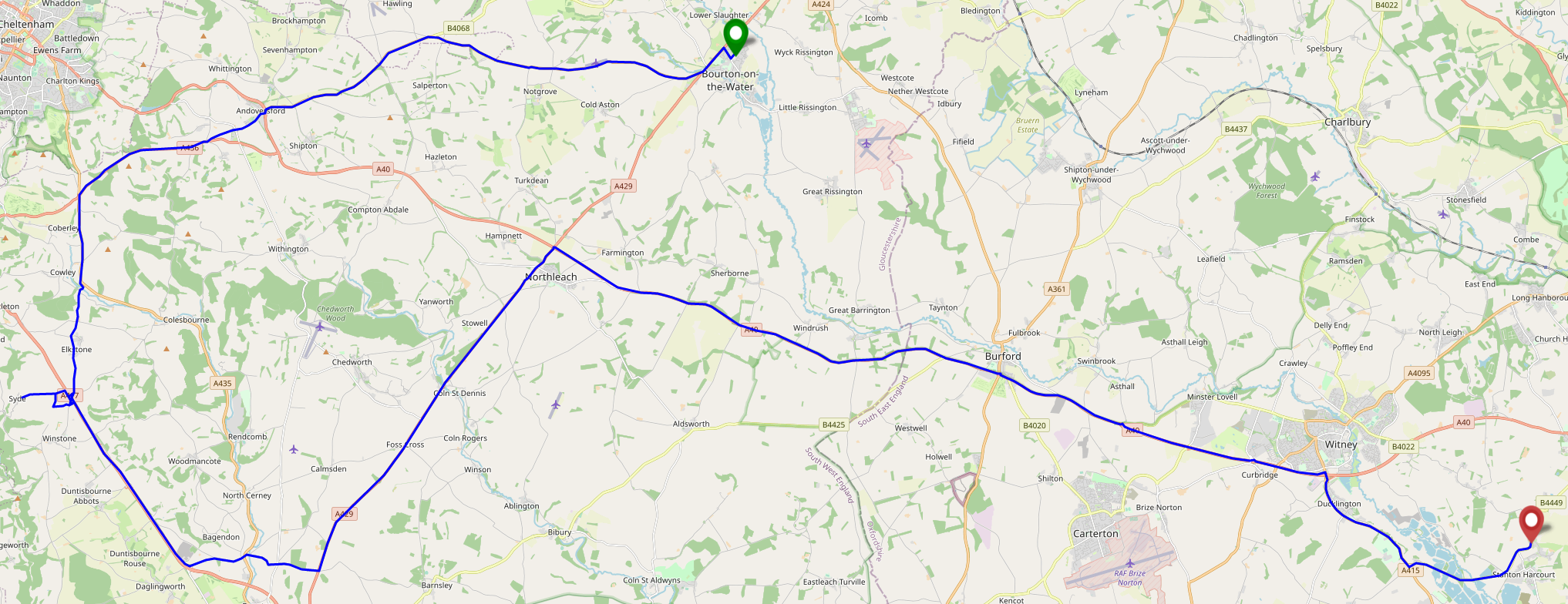
Tracklog
Entire journey
Walking part (after I remembered to start tracking it)
Photos
0 comments