
This checkin to geohash 2026-10-04 51 -2 reflects a geohashing expedition. See more of Dan's hash logs.
Location
Close to the intersection of a cycleway and a footpath, formerly a railway line, on the East side of Bristol.
Participants
Plans
I'm coincidentally staying in Bristol for a meetup of a nonprofit I founded; I'm going to try to zip out here a little before sunrise and see if I can reach it!
Expedition
I set out around 06:00, snapping a terrible blurry night-mode selfie as I left my hotel.
Alt
Dan, a white man with a blue ponytail and a goatee beard, stands in the dark in the car park of a hotel building.
A short drive later I was in in Soundwell district of East Bristol where I parked up and began my explorations.
Alt
Dan, now seen to be wearing a "bi cycle lane" t-shirt in bi pride colours, throws an "okay" sign in front of a parked car.
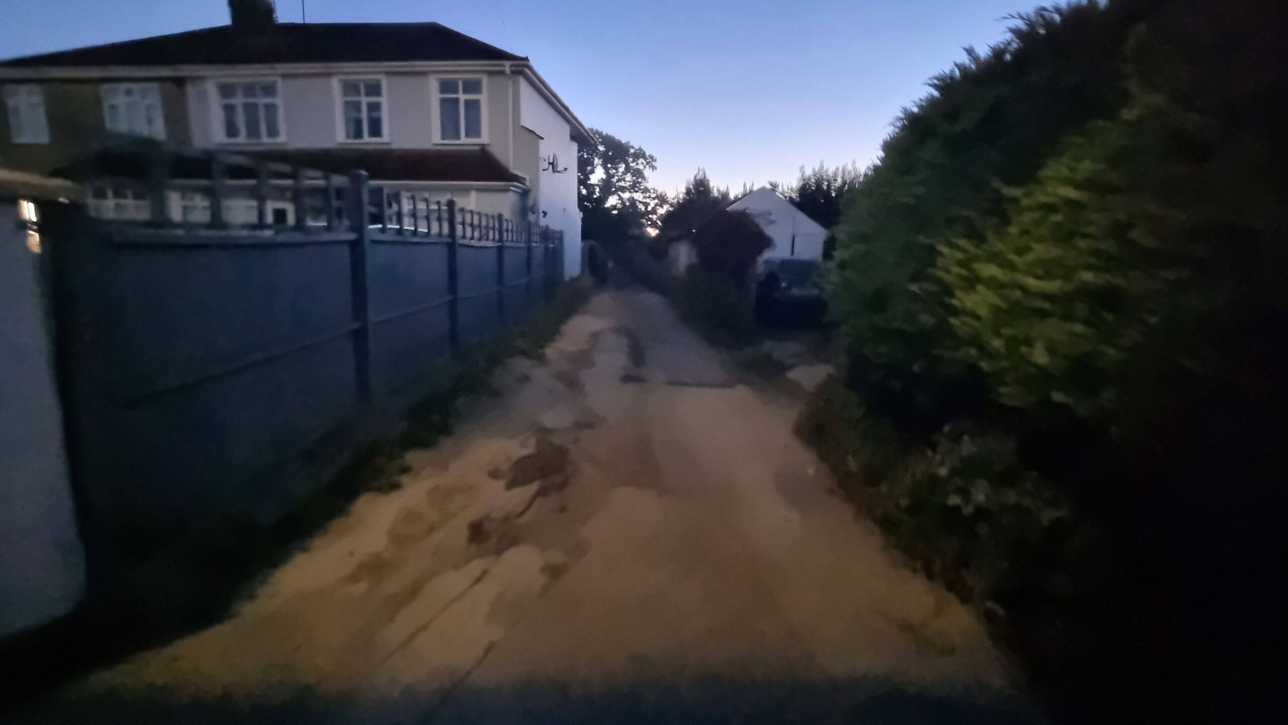
Before long I'd found the Westernmost end of the cycleway that would eventually "cross" the footpath (at what was once a footbridge over the railway cutting, it turns out).
Alt
A disreputable-looking cycleway leads between houses into the distance, in the early morning light.
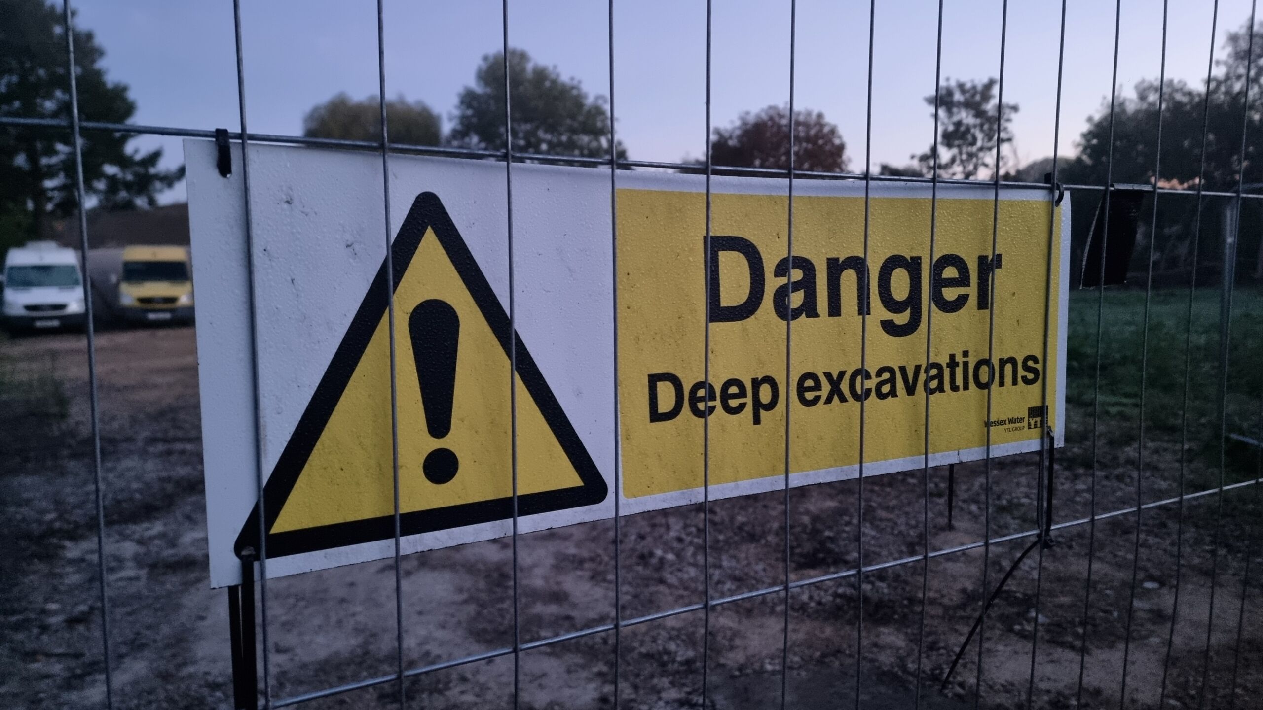
Approaching the intersection, though, I became concerned. The area to my left was fenced off with unfriendly "danger" and "CCTV in operation" signs all over the place. I pressed on, still hopeful that - as the satellite photography suggested - the coordinates would be on the "other side" of this private land and therefore might be accessible.
Alt
A 'danger: deep excavations' sign on a wire fence.
But it was not to be. Reaching the far end of the private land I was able to look back into it and see, about 16m away, the hashpoint. It's about where the large tree stump in the photo stands:
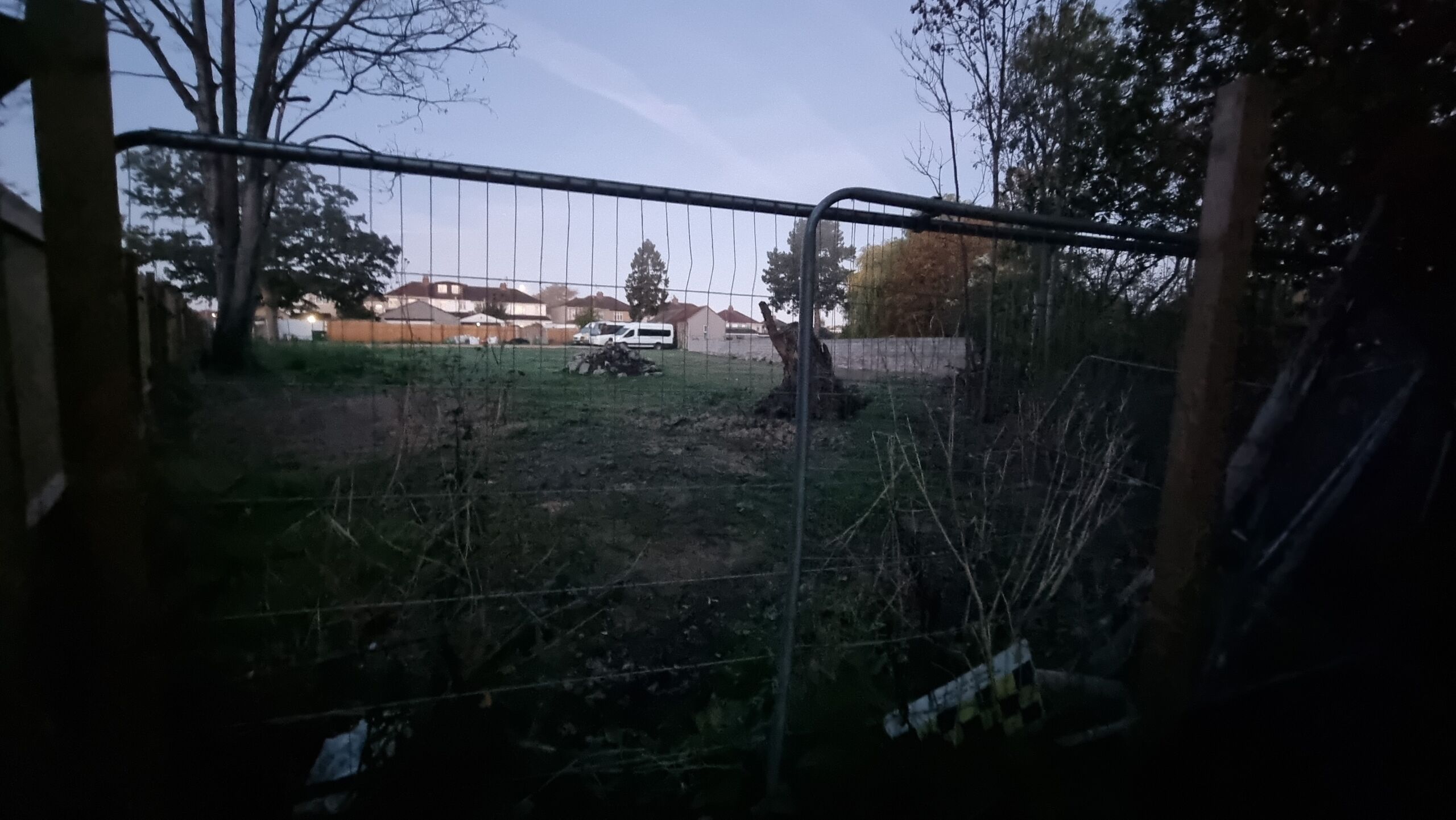
Alt
Through a tall wire fence a grassy area with rubble and a prominent tree stump.
Here's a better view, taken looking "over" the fence. The hashpoint is probably at or near the tree stump on the middle-right, perhaps a step or two towards the pile of rubble:
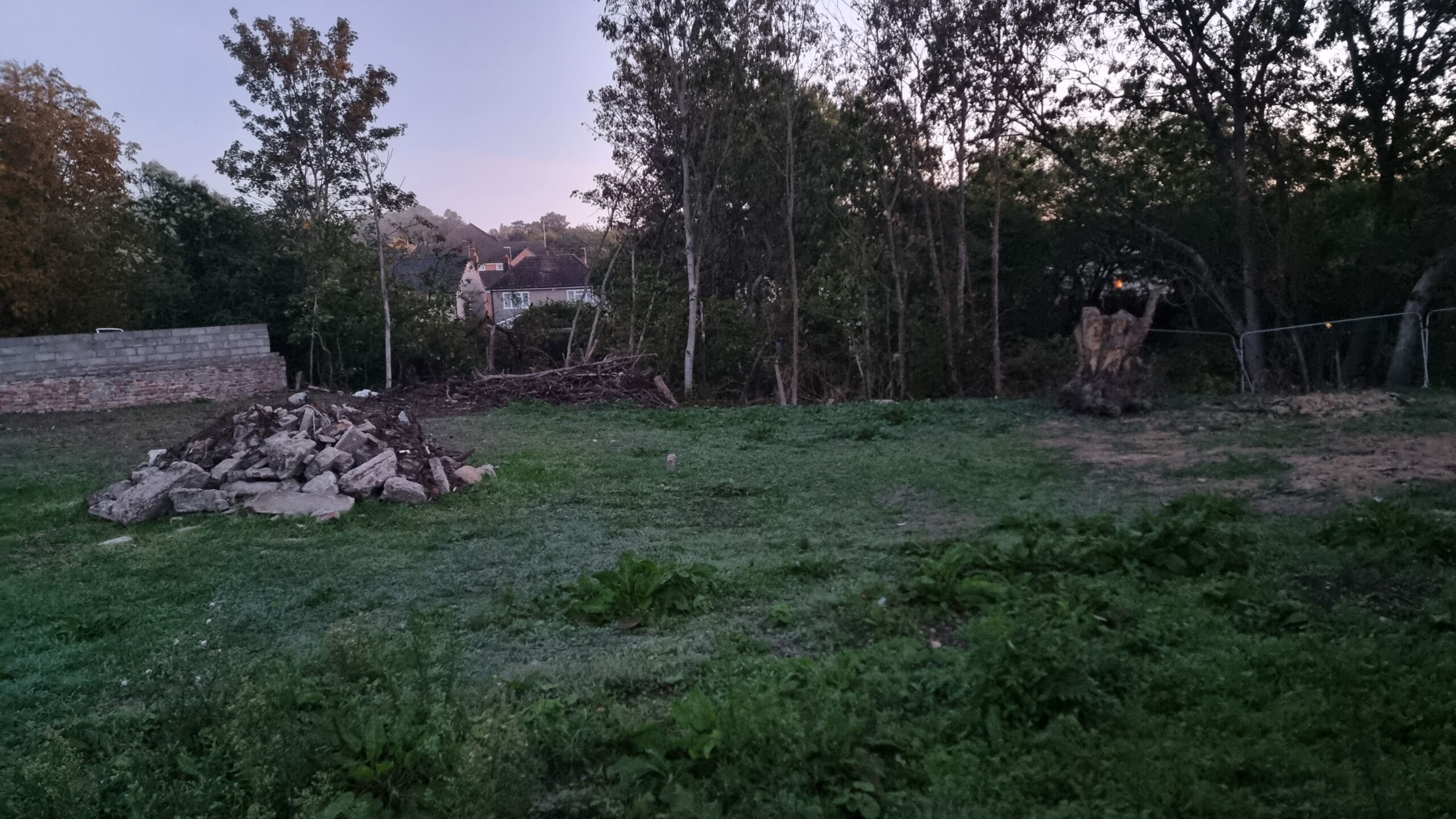
Alt
The tree stump and rubble seen from 'over' the fence, from a different angle.
Ah well. I returned to my hotel for breakfast, only to be told that I couldn't have the eggs benedict because "the gas has gone out in the kitchen" (???), so instead I had some fruit juice and pastries and returned to my room to write up this failed attempt!
0 comments