As I worked my way to this, the third cache in my tour for today, I realised that my local sparrowhawk – who lives up a tree behind my house in Sutton – seemed to be following me. I’d
seen him atop a couple of telegraph poles earlier on and I’d heard him screech a few times, and when I looked up I saw that he was still above me. Perhaps he’d decided to come on this
expedition too?
One of the things that I love most about this series is the diversity of quirky and unusual cache containers, of which this was no exception. I was also pleased to find a fresh, clean
log sheet, and added my name as the first on the list. TFTC, and FP for the
surprise!
Deer were prancing around the fields as I came through, and I realised that the hiding place for this cache must be near a place I’d thought about once as a possible hiding place
myself, when I first moved to the area and took a walk this way (before I’d looked at the local caches!). While retrieving the cache a dog walker came the other way and, seeing a
cyclist on a not-entirely-cycle-friendly path, probing around looking for something, asked about my activity. He’d never heard of geocaching, but he’d heard of hide-and-seek and he’d
heard of orienteering, and seemed happy enough to accept that it was some combination of these two.
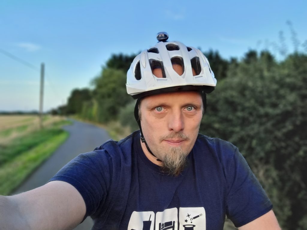
Came out for a cycle tour today to complete the loop: I covered the first half – with the exception of a DNF at #9 – last month, and I was itching to get out and complete the second half. (Having gotten home
after this second expedition I see that #9 has been repaired/improved, so I’ll fly by and give that another go sometime soon!)
I was glad to have brought my bike lights: even though it’s a while until sunset it was helpful to find my way in the wooded area that surrounds this cache. Great hiding place for this
one: the only cache I’ve come across of a remotely similar design was my own GC7R0HB (which sadly got muggled one too many times and had to be archived a few years ago).
“I like travelling by public transport and by bus; I think it’s a great way to see the country,” Mr Kibble explains.
..
Mr Kibble figured the furthest he could get in one day would be Morecambe in Lancashire – some 260 miles from Charing Cross, the geographical centre of London.
…
I’m sure that many of you, like me, really enjoyed The Political Travelling Animal‘s Twitter adventure up the country, last week. If you missed it (and you should really go read it if you did): Jo decided to see how far he could get from London within 24 hours via local bus routes only,
and live-tweeted the entire experience for the world to enjoy too. Perhaps unsurprisingly, I particularly enjoyed that fact that he gave a nod to Preston’s unusual and iconic bus
station.
Reading it, though, I found myself reminded of a time, long ago, that I planned (although never took) a similar journey. In 1999 I moved
away from my family in Preston to Aberystwyth to go to university.
Before he became a bus my father was a bus industry professional and at a rest stop during the journey to Aberystwyth as he dropped me off,
he and I perused the (paper) timetables to explore a hypothesis that the pair of us had come up with.
Our question: Is it possible to travel from Aberystwyth to Preston, in a single day, using local bus routes only?
After much consideration, we determined that yes, it was possible, but better than that: it was possible to do so (at the time) entirely on Arriva buses. This presented an
unexploited opportunity: for the price of an “all day” Arriva ticket (£2.20, IIRC), an enterprising and poor student could, in
a pinch, find their way back from Aberystwyth to Preston over the course of about 16 hours for only a fraction more than the price of a pint of beer.
This was utterly academic: in the years that followed, I would almost invariably leave Aberystwyth by train. Sometimes I’d do this to go
to London: a route for which, I discovered, I could catch the 6am train, hide aboard it as it was vacated at its Birmingham New Street terminus and take a nap, safe in the knowledge
that the same rolling stock would subsequently become a train to London Euston! Other times I’d return to Preston; a journey for which not even floods could stop me.
But regardless, for my first full term at university I kept on the corner of the desk in my study room the sum of £2.20, as an “insurance policy”. No matter what happened in this new
phase of my life, that small pile of coins could, at a stretch, get me back “home”.
By Christmas 1999 I’d re-purposed the coins to do my laundry (the washing machines in the halls’ laundrette took pound coins and the dryers 20p pieces, so this was a far more-valuable
use of spare change in those denominations). By this point I’d settled in and had become confident that Aberystwyth was likely to be my home almost year-around, and indeed I’d go on to
live there another decade before saying goodbye for Oxfordshire.
But we answered the question, at least in theory: a hypothetical but symbolic question about the versatility and utility of an interconnected network of local bus routes. And that’s
just great.
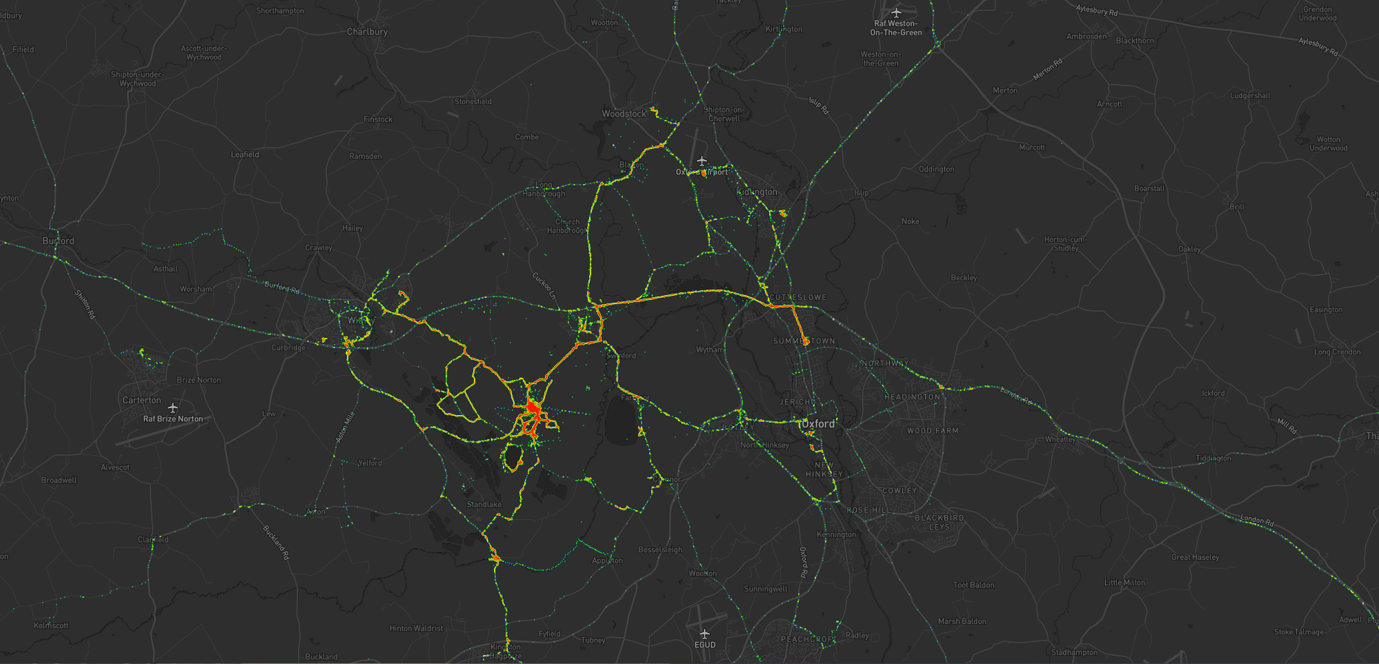
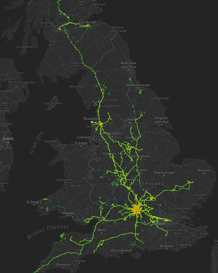
As I mentioned last year, for several years I’ve collected pretty complete historic location data from GPSr devices I carry with me everywhere, which I collate in a personal μlogger server.
Going back further, I’ve got somewhat-spotty data going back a decade, thanks mostly to the fact that I didn’t get around to opting-out of Google’s location tracking until only a few years ago (this data is now
also housed in μlogger). More-recently, I now also get tracklogs from my smartwatch, so I’m managing to collate more personal
location data than ever before.
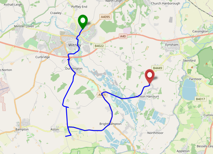
The blob around my house, plus some of the most common routes I take to e.g. walk or cycle the children to school.
A handful of my favourite local walking and cycling routes, some of which stand out very well: e.g. the “loop” just below the big blob represents a walk around the lake at Dix Pit;
the blob on its right is the Devils Quoits, a stone circle and henge that I thought were sufficiently interesting that
I made a virtual geocache out of them.
The most common highways I spend time on: two roads into Witney, the road into and around Eynsham, and routes to places in Woodstock and North Oxford where the kids have often had
classes/activities.
I’ve unsurprisingly spent very little time in Oxford City Centre, but when I have it’s most often been at the Westgate Shopping Centre,
on the roof of which is one of the kids’ favourite restaurants (and which we’ve been able to go to again as Covid restrictions have lifted, not least thanks to their outdoor seating!).
One to eight years ago
Let’s go back to the 7 years prior, when I lived in Kidlington. This paints a different picture:
For the seven years I lived in Kidlington I moved around a lot more than I have since: each hotspot tells a story, and some tell a few.
This heatmap highlights some of the ways in which my life was quite different. For example:
Most of my time was spent in my village, but it was a lot larger than the hamlet I live in now and this shows in the size of my local “blob”. It’s also possible to pick out common
destinations like the kids’ nursery and (later) school, the parks, and the routes to e.g. ballet classes, music classes, and other kid-focussed hotspots.
I worked at the Bodleian from early 2011 until late in 2019, and so I spent a lot of time in
Oxford City Centre and cycling up and down the roads connecting my home to my workplace: Banbury Road glows the brightest, but I spent some time on Woodstock Road too.
For some of this period I still volunteered with Samaritans in Oxford, and their branch – among other volunteering hotspots
– show up among my movements. Even without zooming in it’s also possible to make out individual venues I visited: pubs, a cinema, woodland and riverside walks, swimming pools etc.
Less-happily, it’s also obvious from the map that I spent a significant amount of time at the John Radcliffe Hospital, an unpleasant reminder of some challenging times from that
chapter of our lives.
The data’s visibly “spottier” here, mostly because I built the heatmap only out of the spatial data over the time period, and not over the full tracklogs (i.e. the map it doesn’t
concern itself with the movement between two sampled points, even where that movement is very-guessable), and some of the data comes from less-frequently-sampled sources like Google.
Eight to ten years ago
Let’s go back further:
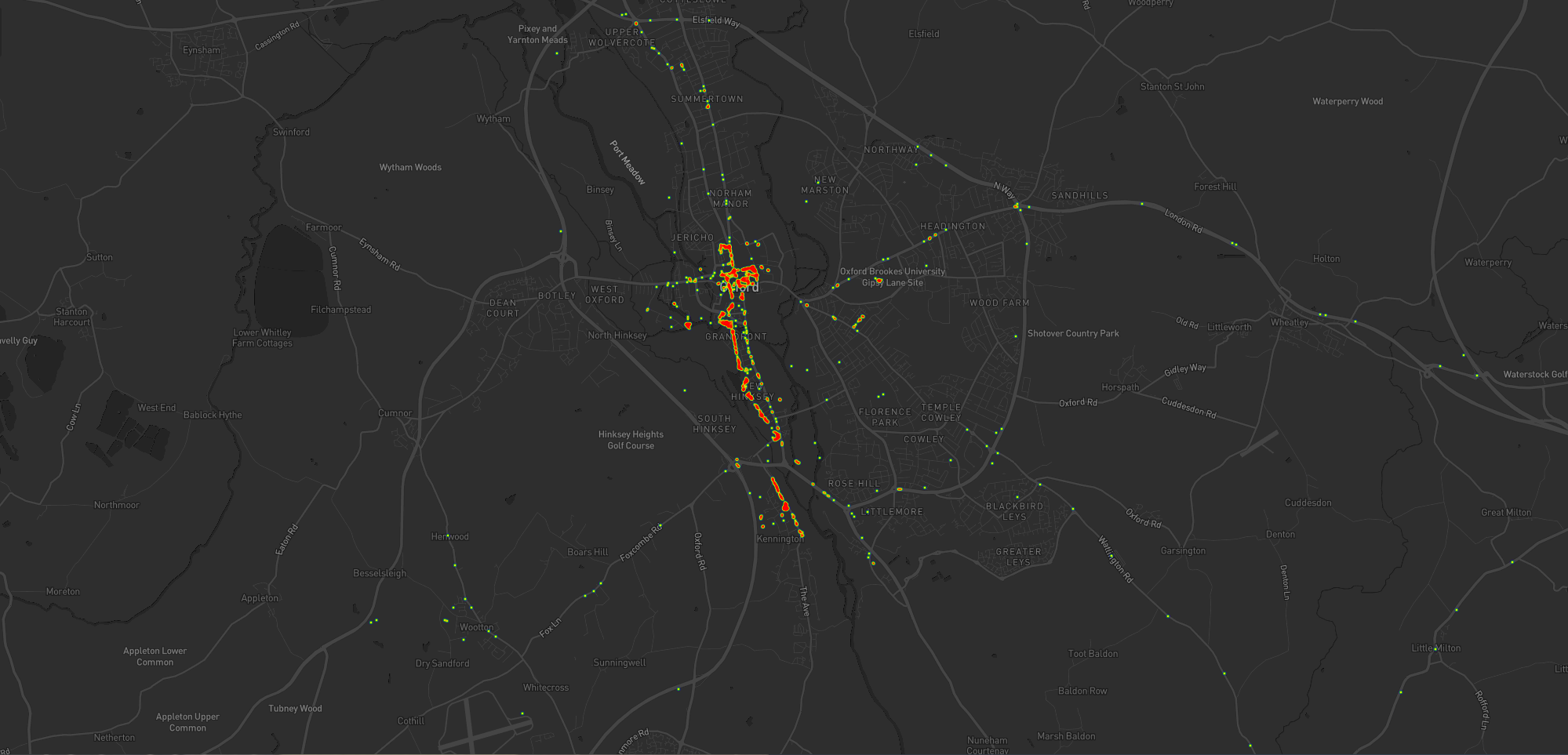
Back when I lived in Kennington I moved around a lot less than I would come to later on (although again, the spottiness of the data makes that look more-significant than it is).
Before 2011, and before we bought our first house, I spent a couple of years living in Kennington, to the South of Oxford. Looking at
this heatmap, you’ll see:
I travelled a lot less. At the time, I didn’t have easy access to a car and – not having started my counselling qualification yet – I
didn’t even rent one to drive around very often. You can see my commute up the cyclepath through Hinksey into the City Centre, and you can even make out the outline of Oxford’s Covered
Market (where I’d often take my lunch) and a building in Osney Mead where I’d often deliver training courses.
Sometimes I’d commute along Abingdon Road, for a change; it’s a thinner line.
My volunteering at Samaritans stands out more-clearly, as do specific venues inside Oxford: bars, theatres, and cinemas – it’s the kind of heatmap that screams “this person doesn’t
have kids; they can do whatever they like!”
Every map tells a story
I really love maps, and I love the fact that these heatmaps are capable of painting a picture of me and what my life was like in each of these three distinct chapters of my life over
the last decade. I also really love that I’m able to collect and use all of the personal data that makes this possible, because it’s also proven useful in answering questions like “How
many times did I visit Preston in 2012?”, “Where was this photo taken?”, or “What was the name of that place we had lunch when we got lost during our holiday in Devon?”.
There’s so much value in personal geodata (that’s why unscrupulous companies will try so hard to steal it from you!), but sometimes all you want to do is use it to draw pretty heatmaps.
And that’s cool, too.
How these maps were generated
I have a μlogger instance with the relevant positional data in. I’ve automated my process, but the essence of it if you’d like to try it yourself is as follows:
First, write some SQL to extract all of the position data you need. I round off the latitude and longitude to 5 decimal places to help “cluster” dots for frequency-summing, and I raise
the frequency to the power of 3 to help make a clear gradient in my heatmap by making hotspots exponentially-brighter the more popular they are:
This data needs converting to JSON. I was using Ruby’s mysql2 gem to
fetch the data, so I only needed a .to_json call to do the conversion – like this:
db =Mysql2::Client.new(host: ENV['DB_HOST'], username: ENV['DB_USERNAME'], password: ENV['DB_PASSWORD'], database: ENV['DB_DATABASE'])
db.query(sql).to_a.to_json
Approximately following this guide and leveraging my Mapbox
subscription for the base map, I then just needed to include leaflet.js, heatmap.js, and leaflet-heatmap.js before writing some JavaScript code
like this:
body.innerHTML ='<div id="map"></div>';
let map = L.map('map').setView([51.76, -1.40], 10);
// add the base layer to the map
L.tileLayer('https://api.mapbox.com/styles/v1/{id}/tiles/{z}/{x}/{y}?access_token={accessToken}', {
maxZoom:18,
id:'itsdanq/ckslkmiid8q7j17ocziio7t46', // this is the style I defined for my map, using Mapbox
tileSize:512,
zoomOffset:-1,
accessToken:'...'// put your access token here if you need one!
}).addTo(map);
// fetch the heatmap JSON and render the heatmap
fetch('heat.json').then(r=>r.json()).then(json=>{
let heatmapLayer =new HeatmapOverlay({
"radius":parseFloat(document.querySelector('#radius').value),
"scaleRadius":true,
"useLocalExtrema":true,
});
heatmapLayer.setData({ data: json });
heatmapLayer.addTo(map);
});
Visited to check on this new cache: especially as the container is a new design I wanted to do an early checkin to ensure it’s bedded in nicely. Glad to say all is well! Also dropped
off Paul The Sea Horse, a Travel Bug I found up in Derbyshire who’s still got a
couple of years exploring left in him before he completes his ten year mission! Please help him move along if you can.
Dropped by to check in on this new cache (always worth checking that a new cache is settling in alright!) and to dip a TB. All is well. Also discovered that
through the kissing gate on the opposite side of the road there’s a crop of the plumpest and brightest sloes I’ve seen in years. So if you’re in the vicinity and fancy a lip-curling
snack (or you’ve plans to adulterate some gin!) take a look!
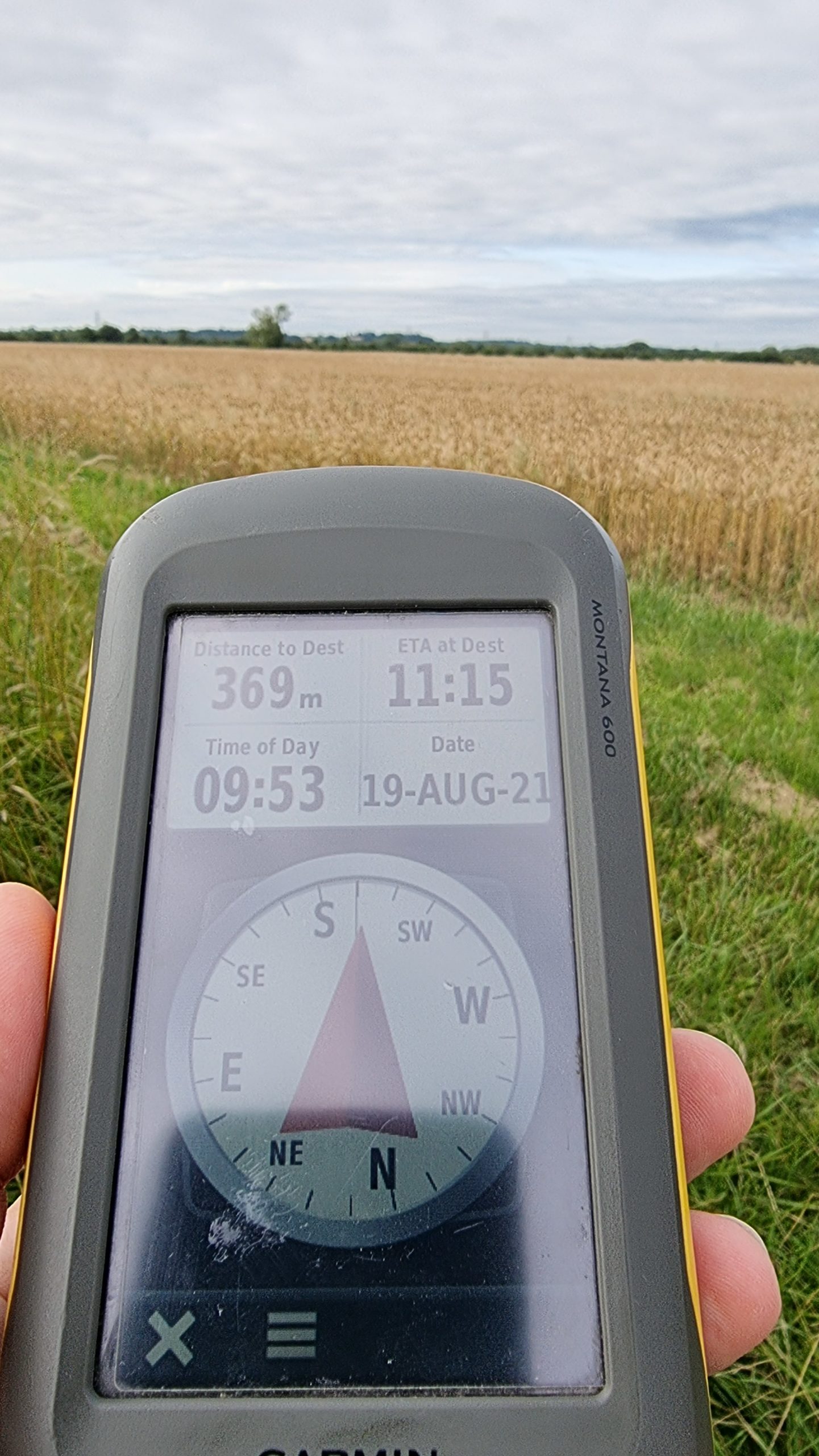
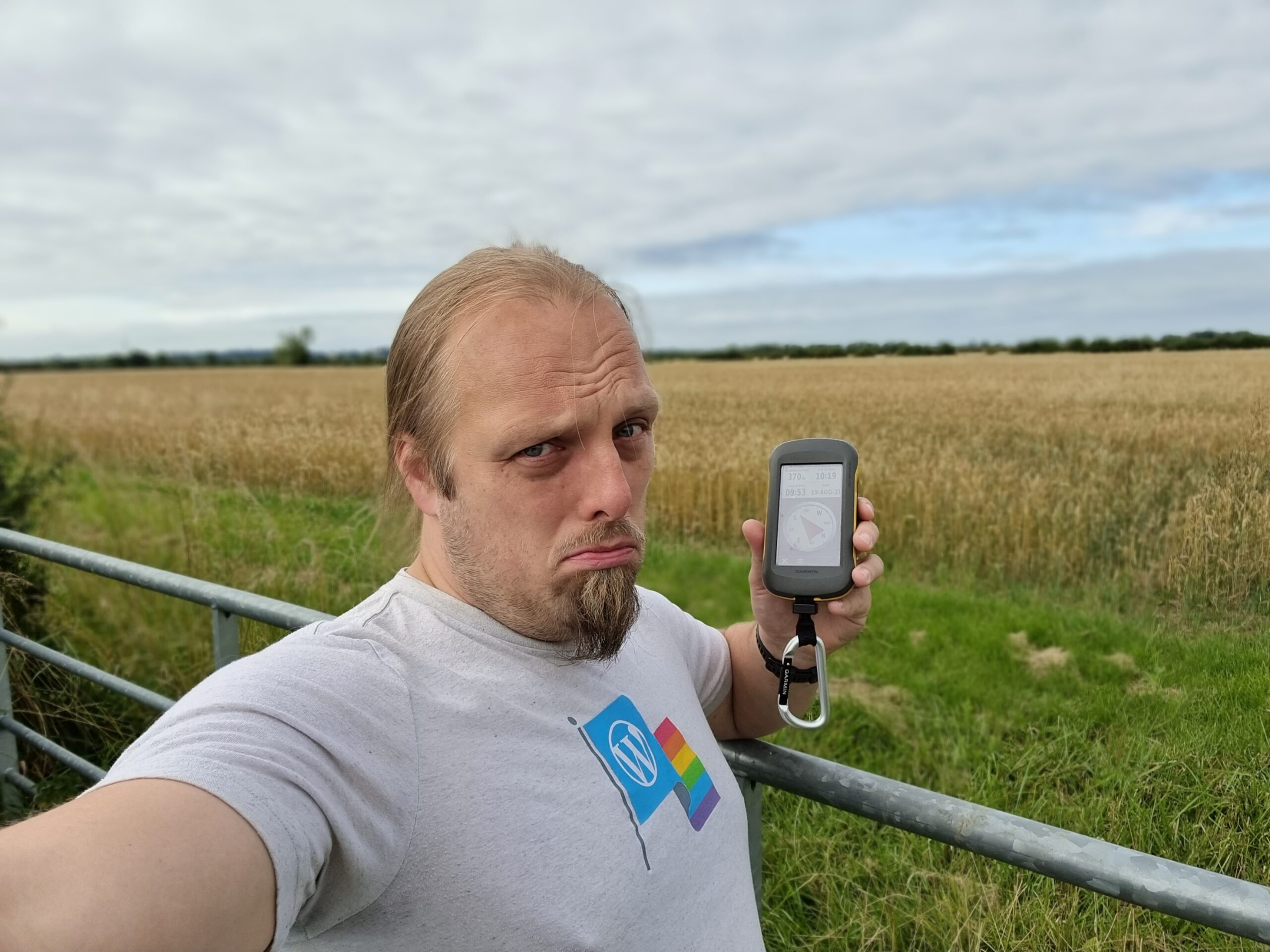
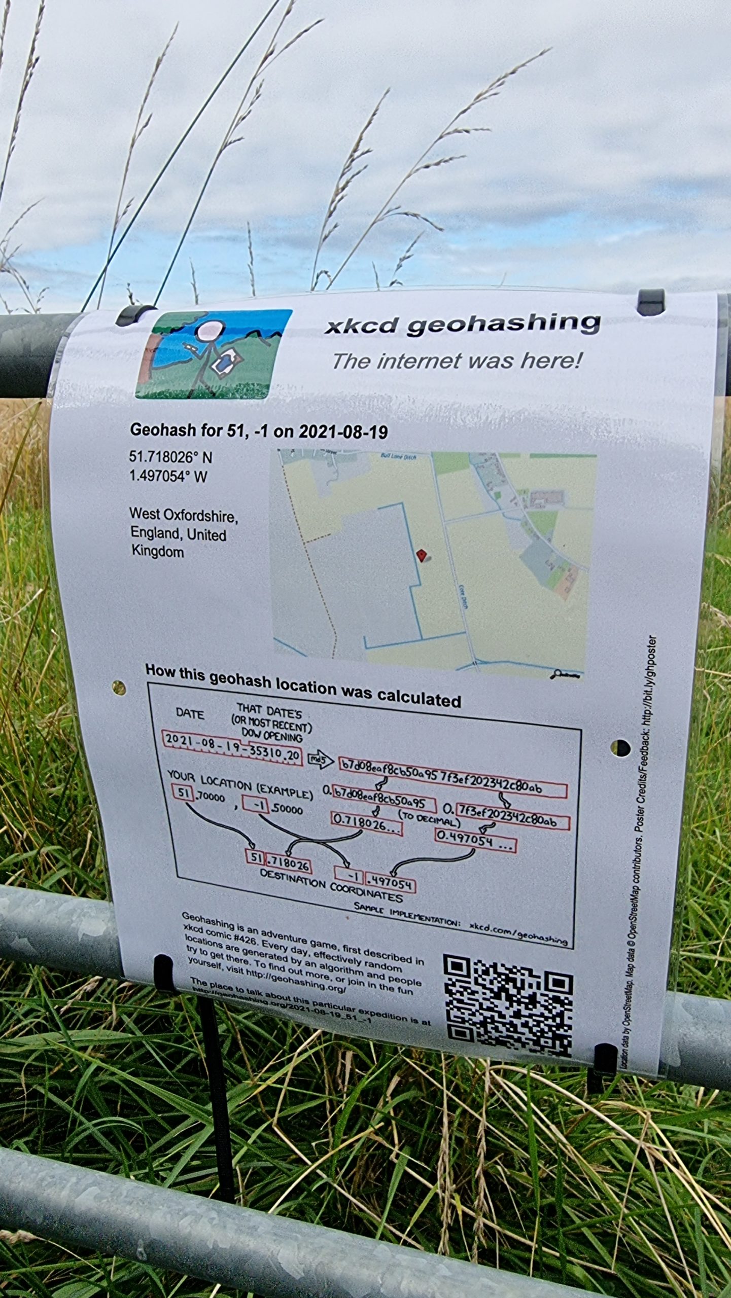
If I get out early, before I start work, I (Dan Q) might be able to make it to the hashpoint by bike before
about 9am. Most of the fields round here have already been harvested and so nobody’s likely to object if I step into this one for a couple of minutes (it looks like there’s a promising
looking gate at N 51°43.2′, W 1°29.722′).
Expedition
I was out and about anwyay, dropping my kids off at rehearsals for a play they’re in later this week, so I figured it’d do no harm to swing by Cote – the settlement nearest the hashpoint – this morning. Cote turns out to be a delightful and quaint little
hamlet, and when I passed through everybody and their dog seemed to be out on a morning constitutional and I got a few odd looks from the locals who are, on account of their hamlet’s
location, probably unused to “through” traffic and so may well have been wondering who exactly I was visiting!
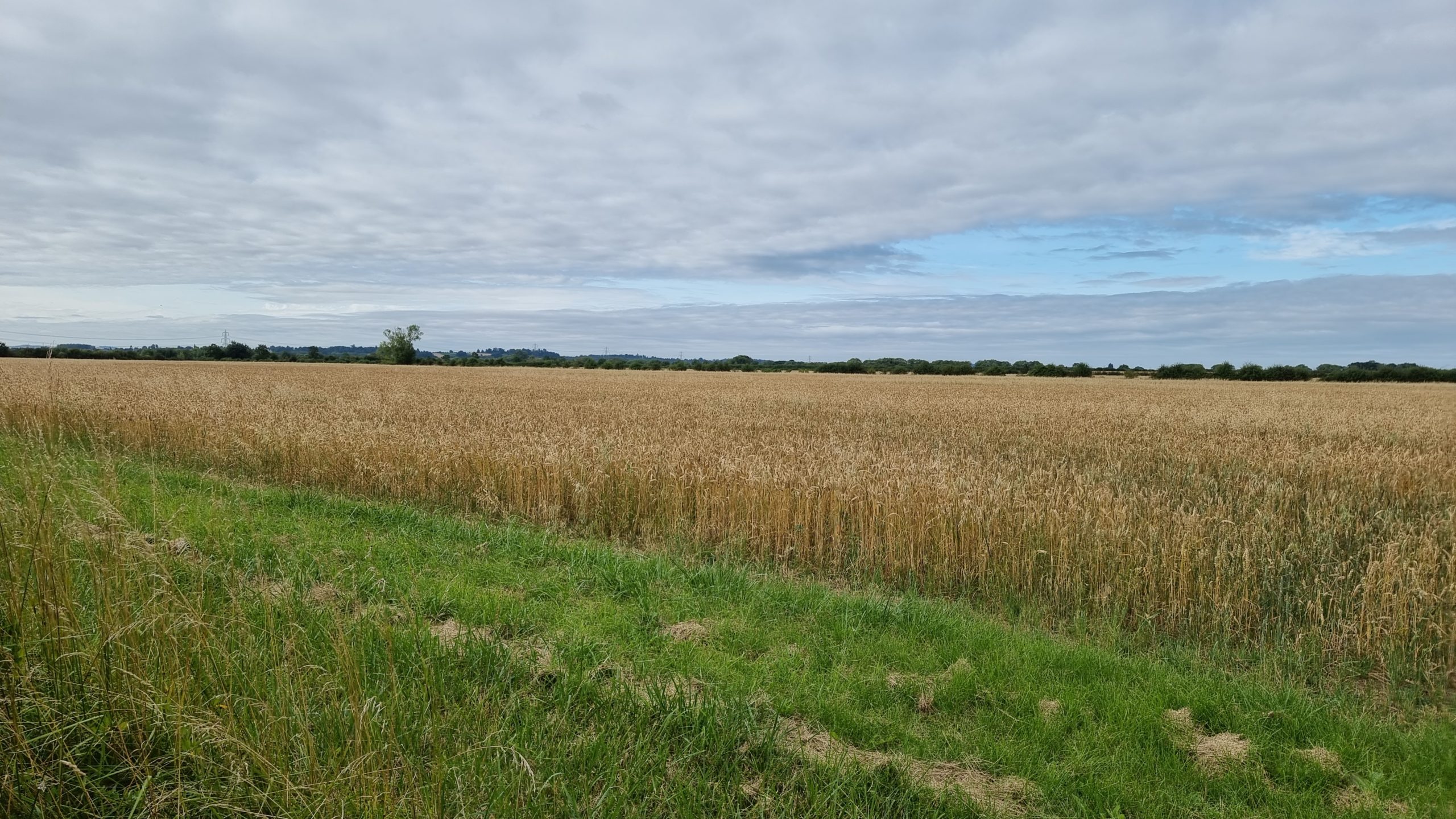
Round here most of the farms grow wheat, and it’s harvest season. I had to pull aside on one of the narrow roads that criss-cross this part of Oxfordshire to allow a combine harvester –
fully the width of the entire road! – to pass in the opposite direction. It was followed closely by a line of impatient drivers crawling along behind the enormous mechanical beast, and
I was glad to be going the other way! When I first saw that the hashpoint appeared to be in a field I was optimistic that it might be one that had been recently harvested, like all the
ones near my house, or else left fallow, and I’d be able to get close to the hashpoint without causing any disruption.
Unfortunately, the field with the hashpoint was very-much still growing, full of corn for harvesting later in the season, so my expedition ended abruptly at the gate. I took a sad-face
photo and attached a “The Internet Was Here” sign to the gate, for good measure (and perhaps as an explanation to the locals who looked at me curiously as I passed!), then continued my
journey home.
For GC9EXXX Church Micro 14129…Sutton, a geocache I recently set up, I wanted to use a “pole topper”
style cache. I’ve always felt slightly let down by finding yet another magnetic nano stuck inside a pipe, so I wanted to do something better. You can watch the video here or on YouTube, or scroll down for written instructions.
Sand down the lid and the inside of the pole topper so the glue adheres to it better.
Mix up your 2-part epoxy in the pole topper. Don’t use too much or it’ll overflow and block the lid from closing.
Put the lid into the pole topper and press down firmly and evenly to squeeze out any air bubbles.
While you’re waiting for the epoxy to set, file off the flange around the edge of the tub. It’s there to catch drips but
you’re not going to be storing food anyway! The lid is easier to take on and off with the flange filed away.
Finally, roughen the bottom edge of the tub with some sandpaper to make it easier to grip when opening and closing the
container.
Music:
For Lorilyn by Casey LaLonde, used under a CC-NC Creative Commons License.
We’ve missed out on or delayed a number of trips and holidays over the last year and a half for, you know, pandemic-related reasons. So this summer, in addition to our trip to Lichfield, we arranged a series of back-to-back expeditions.
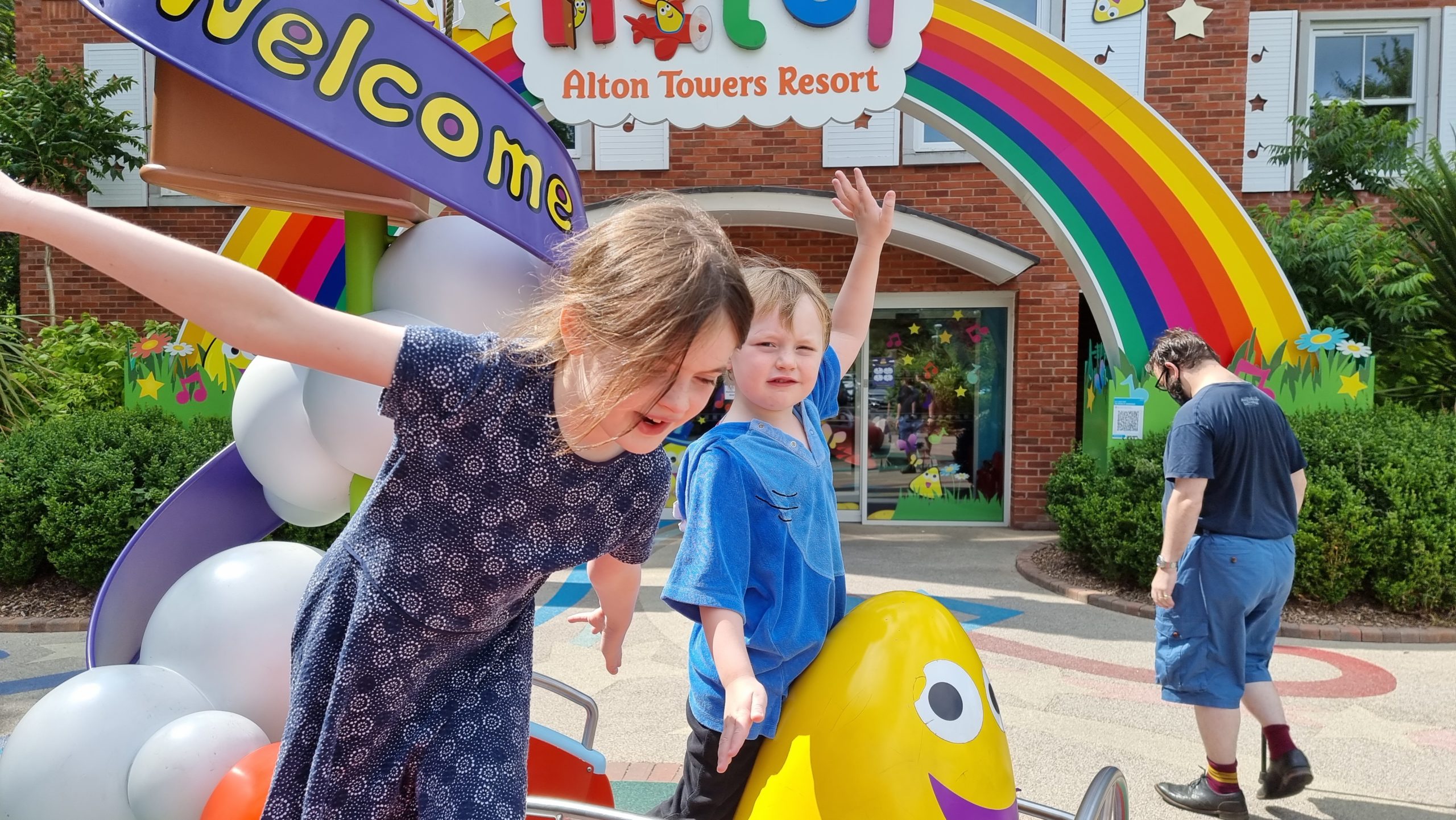
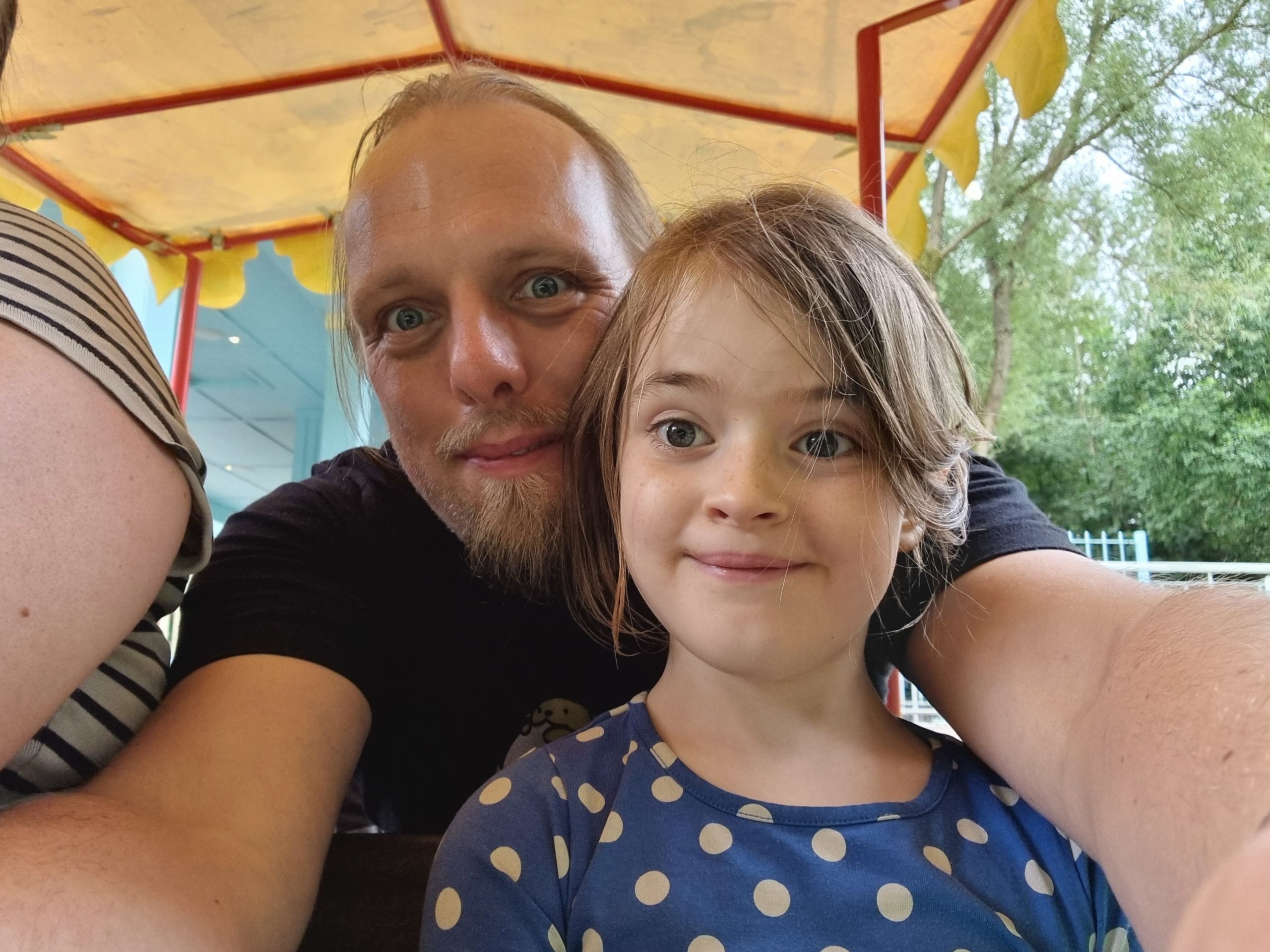
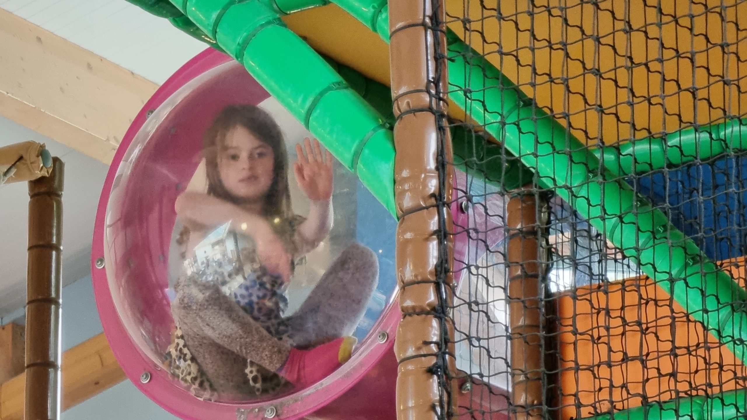
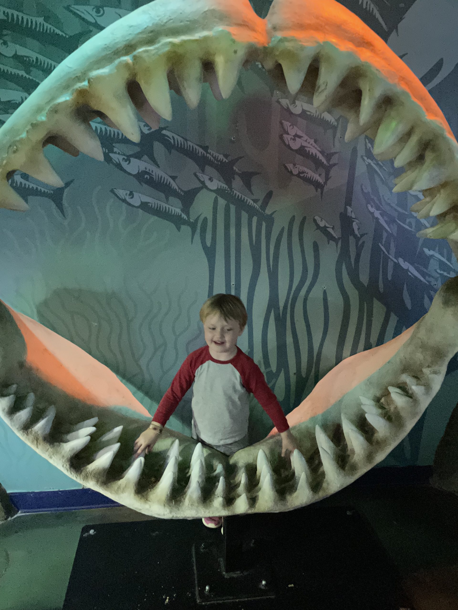
1. Alton Towers
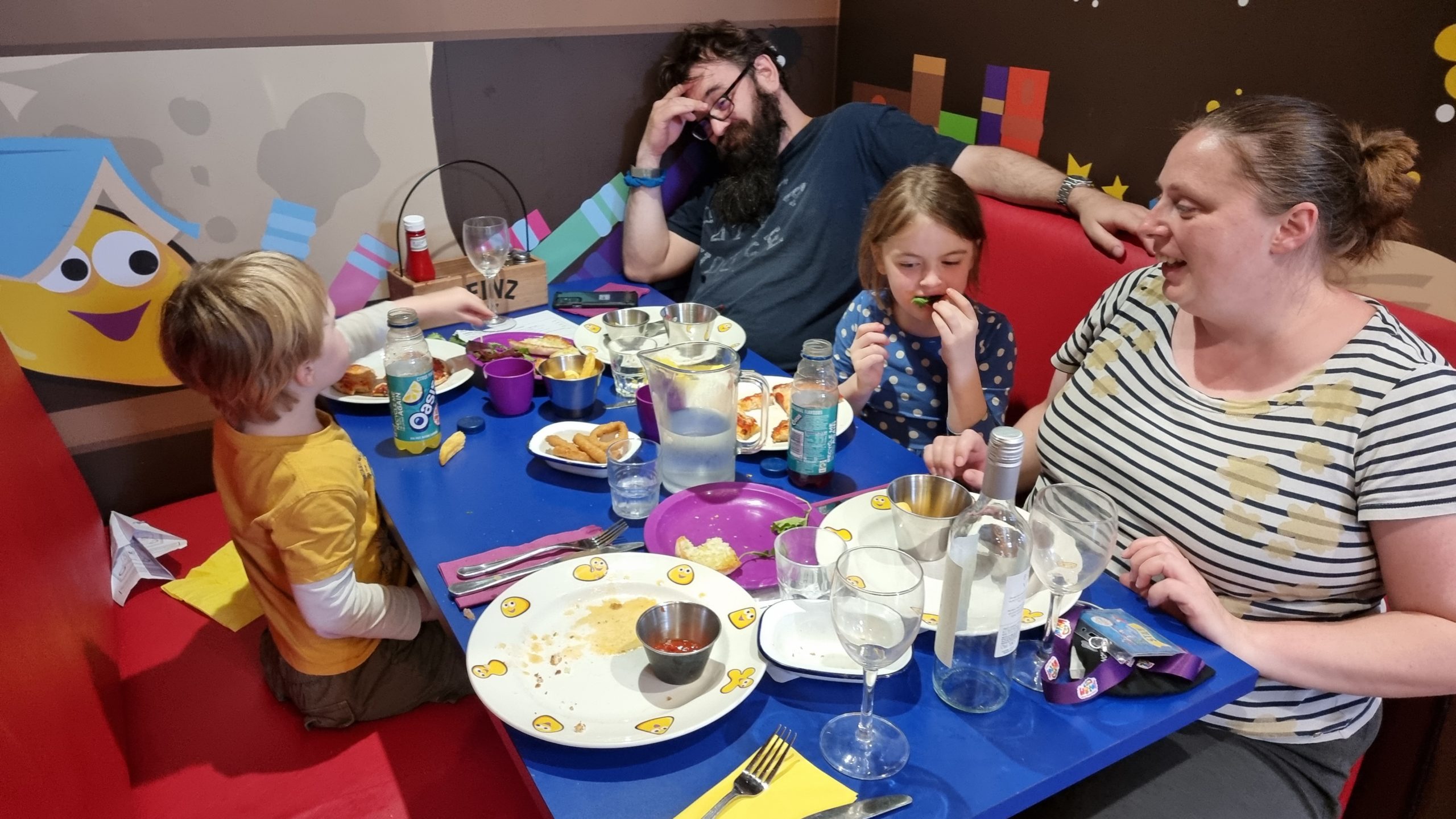
The first leg of our holiday saw us spend a long weekend at Alton Towers, staying over at one of their themed hotels in between days at the water park and theme park:
The CBeebies Land hotel is… whimsical.
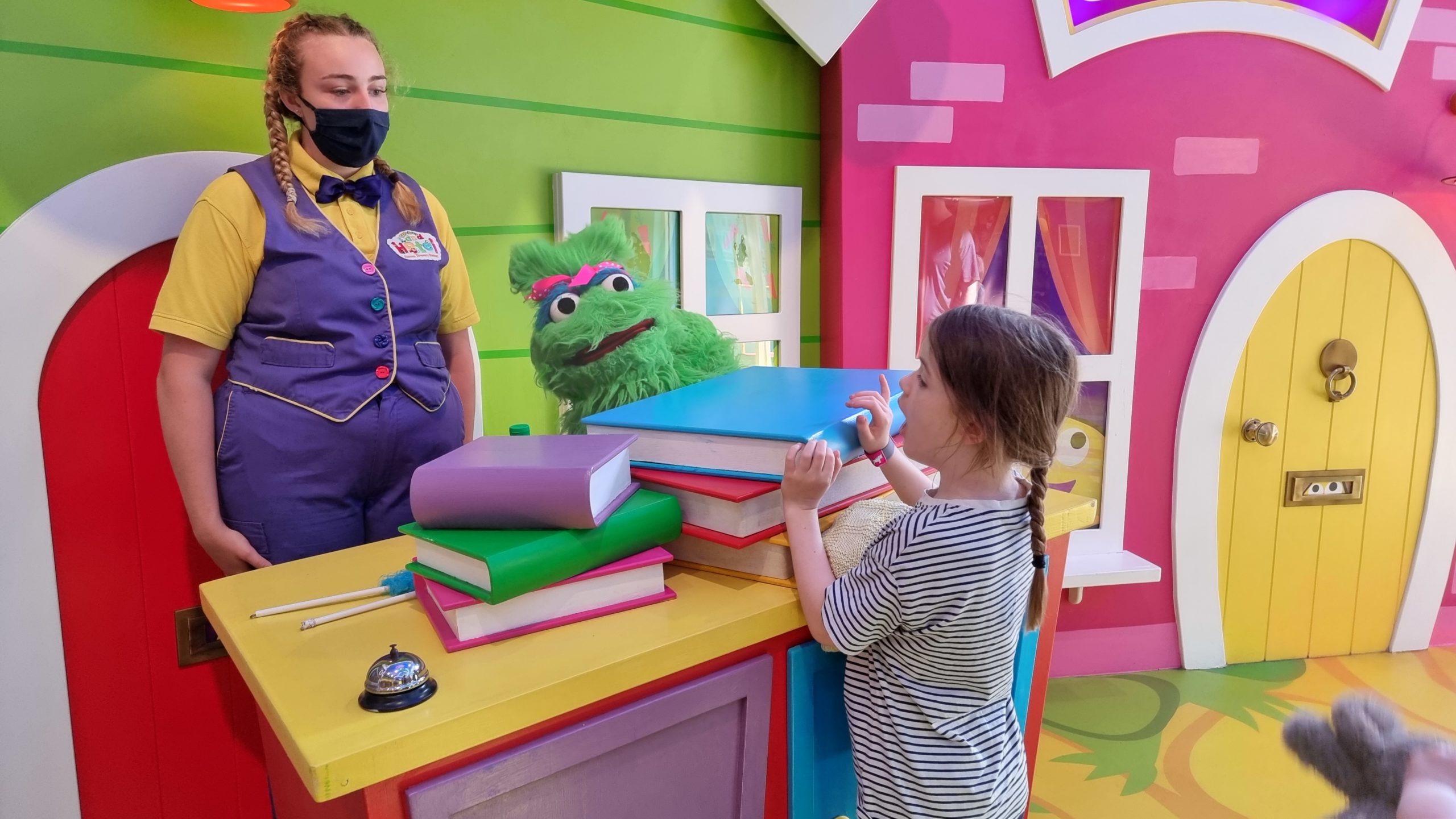
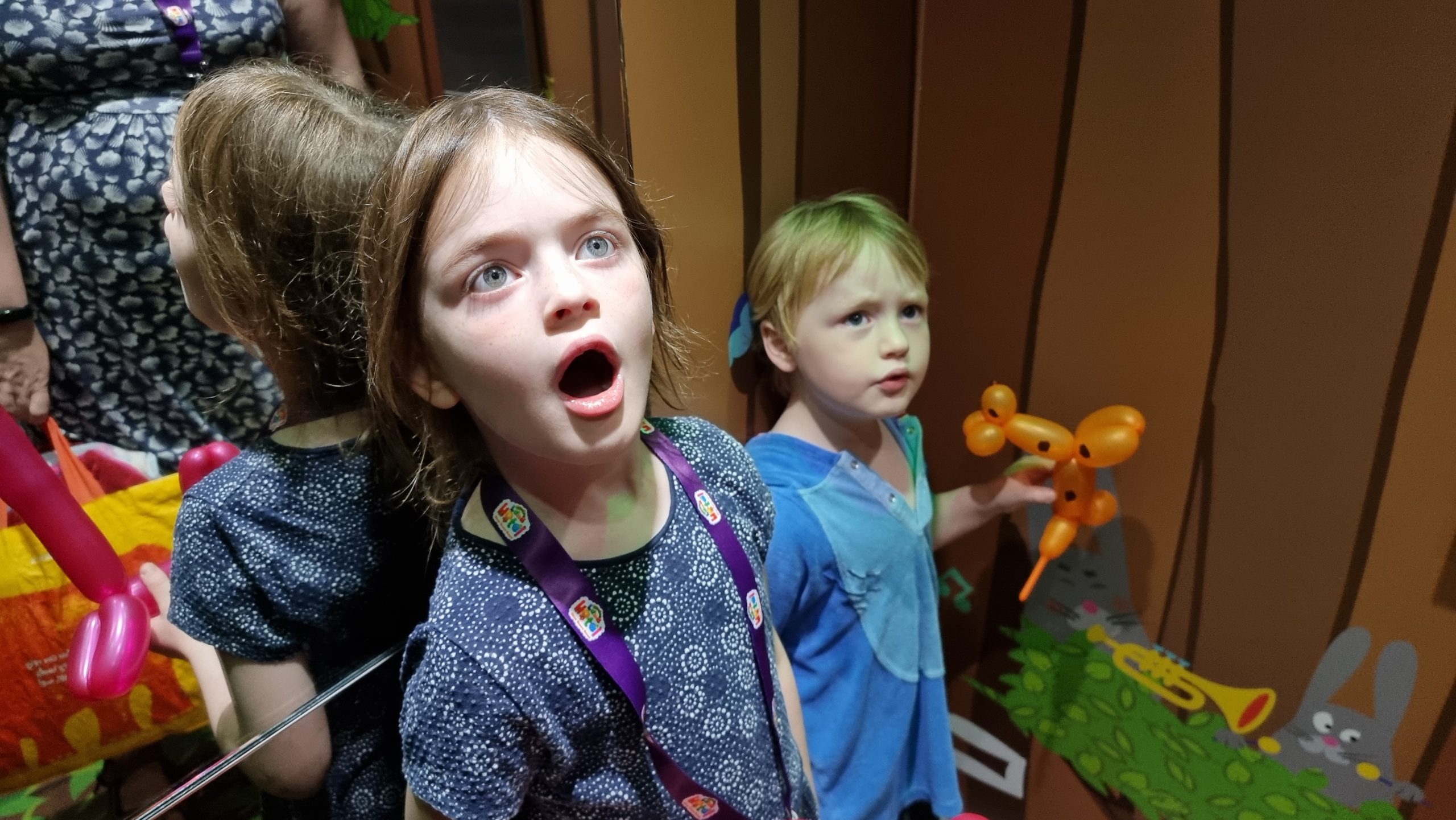
Yes, there’s a puppeteer (somewhere) in that cabinet processing checkins.
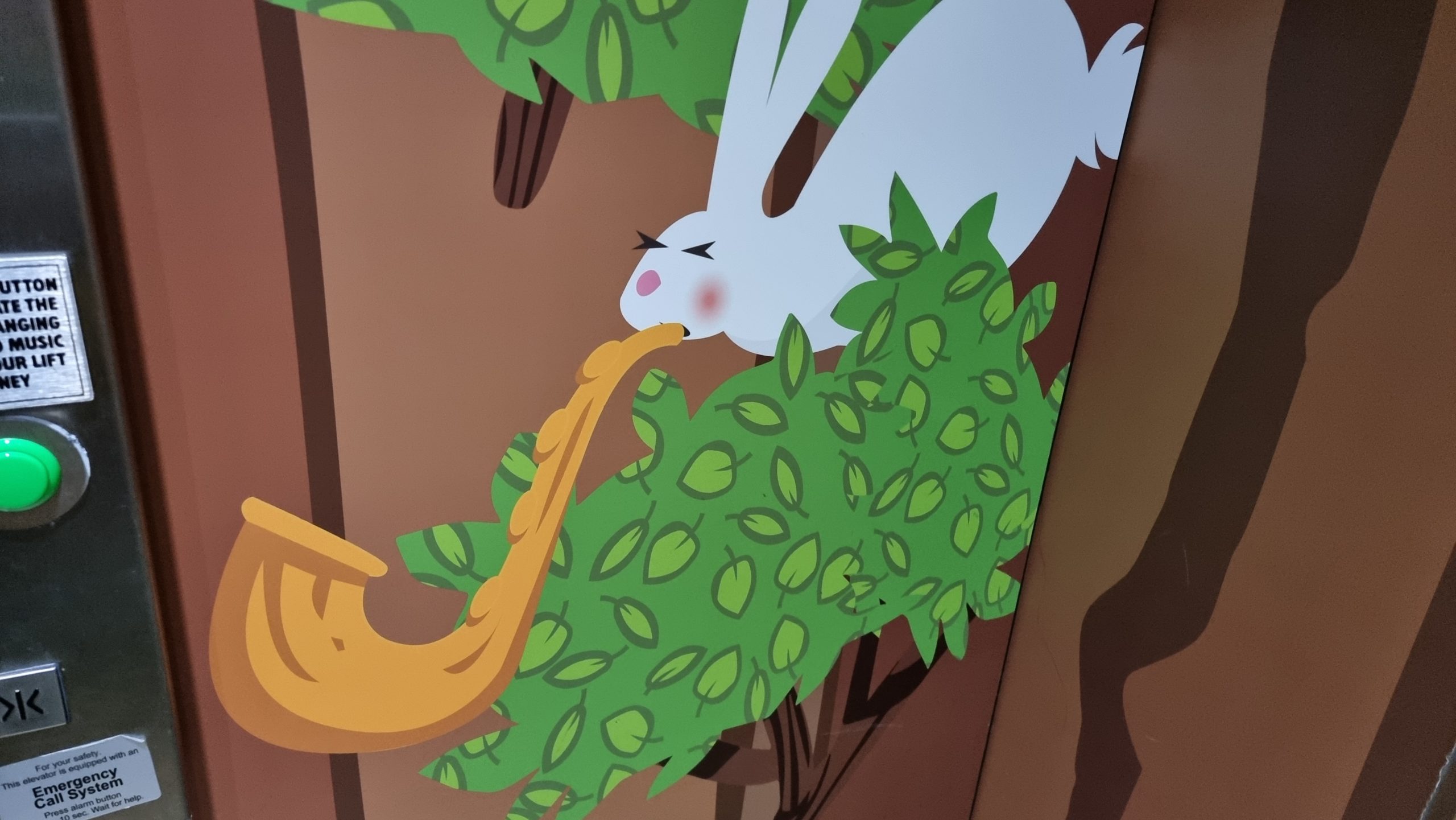
Even the elevators play tunes and put on a light show with every journey.
It took me a while to see this rabbit as playing music, rather than, y’know… vomiting.
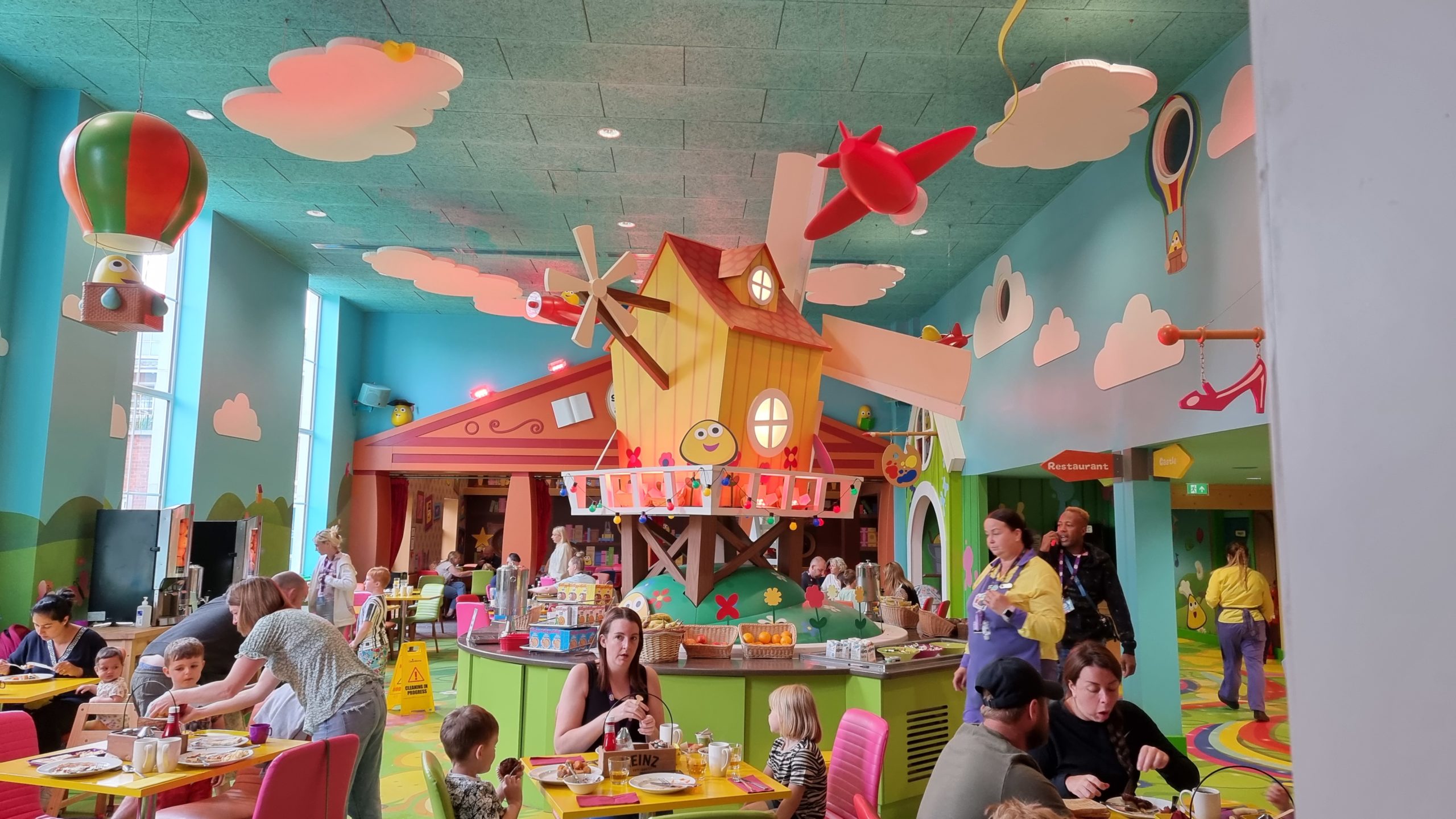
The whimsy continues in the theming of the restaurant. Yes, that windmill turns.
Technically, this is part of one of the other (similarly whimsical) hotels on the site, but nobody seemed to mind our exploring.
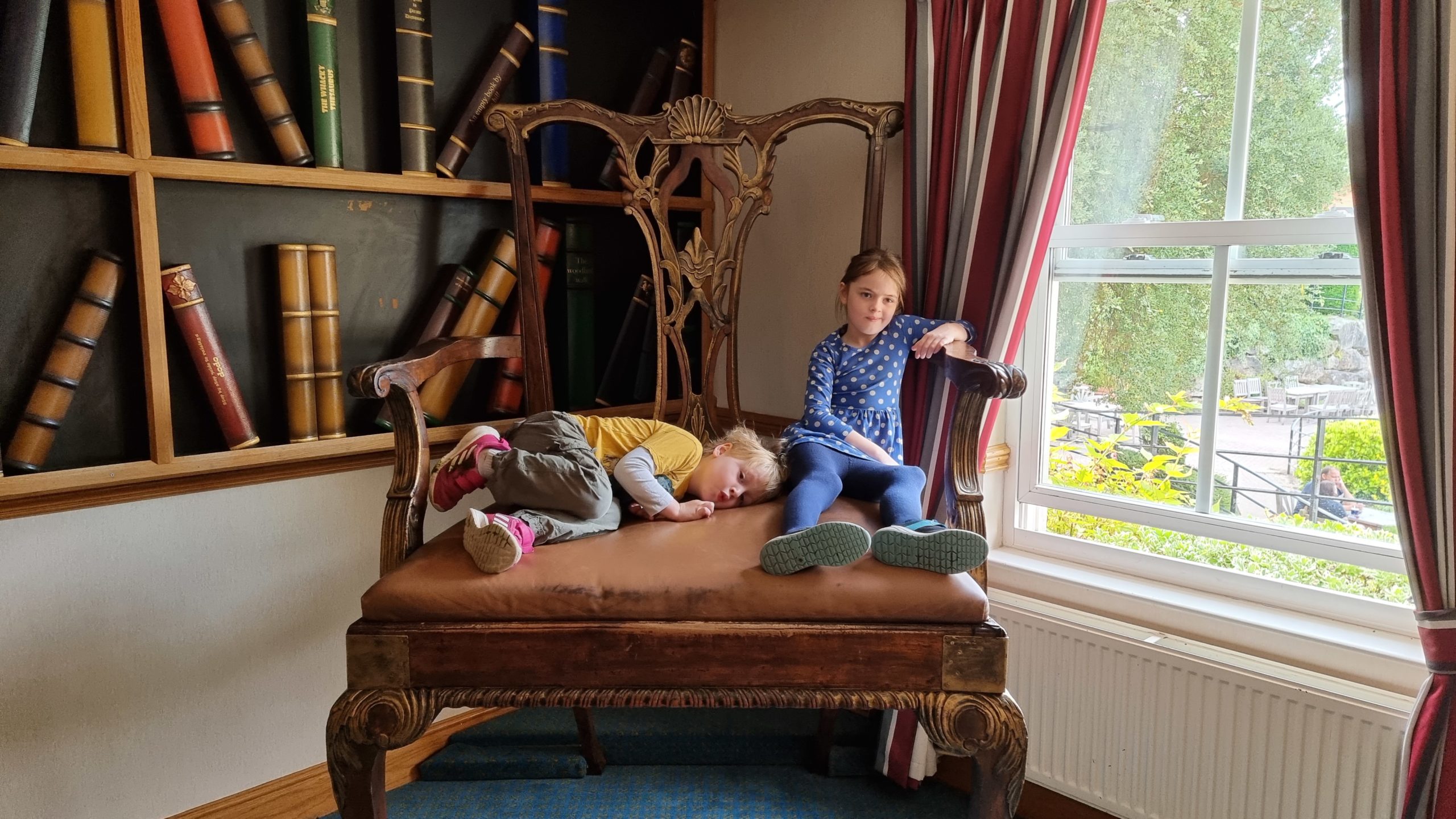
On at least one occasion we ate dinner in “The Library”, which turns out (disappointingly) not to be a library but a room with pictures of books on the wall.
The hotel puts on a series of show somewhat reminiscent of an “upscale” Pontins.
Bing the rabbit made me glad that the other end of this hotel room had a bar.
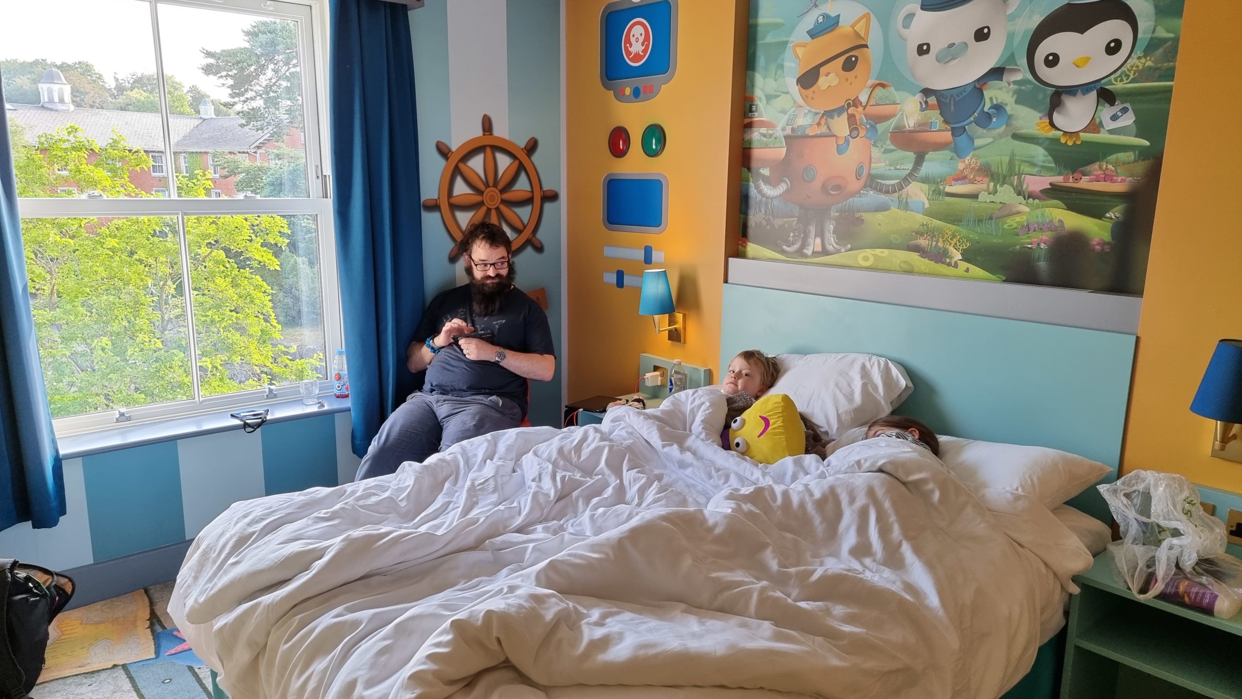
The (Octonauts) theming of our hotel room even extended as far as the phone, TVs, and that notice they put up about towel washing. Neat.
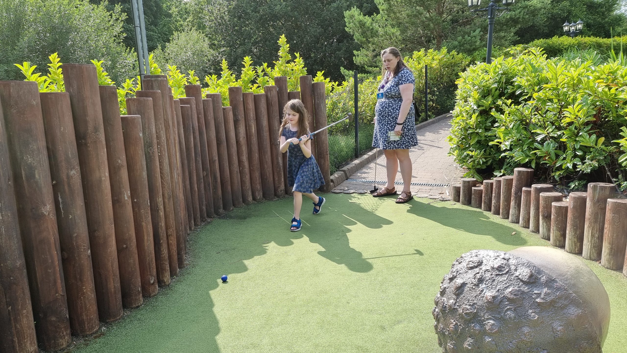
Hole in… seven?
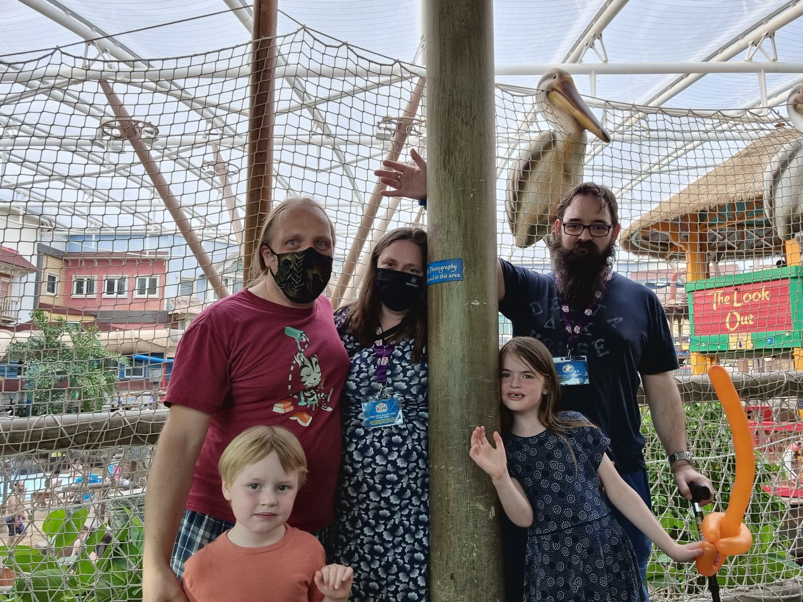
For obvious reasons, we don’t have photos inside the water park. Ignore the sign, we asked permission before taking this one!
Befriending wildfowl is what people with kids come to theme parks for, right?
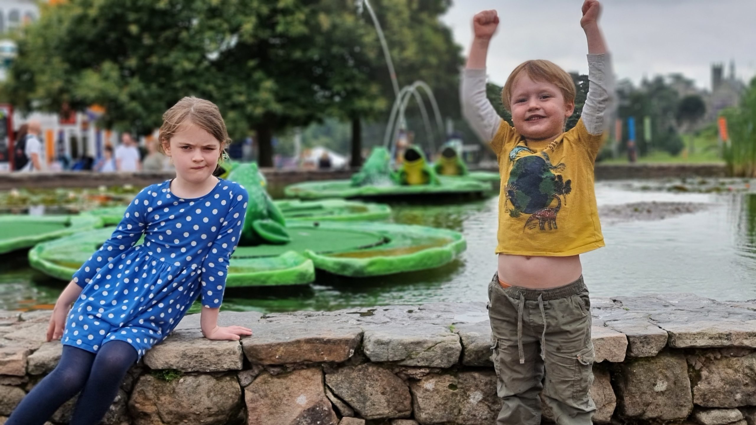
Yay! Frog fountains!
The In The Night Garden Boat Ride was a particular favourite.
Social distancing was imposed reasonably wall, all things considered, although (as you’d expect) many fairgoers were less-disciplined than we’d have liked.
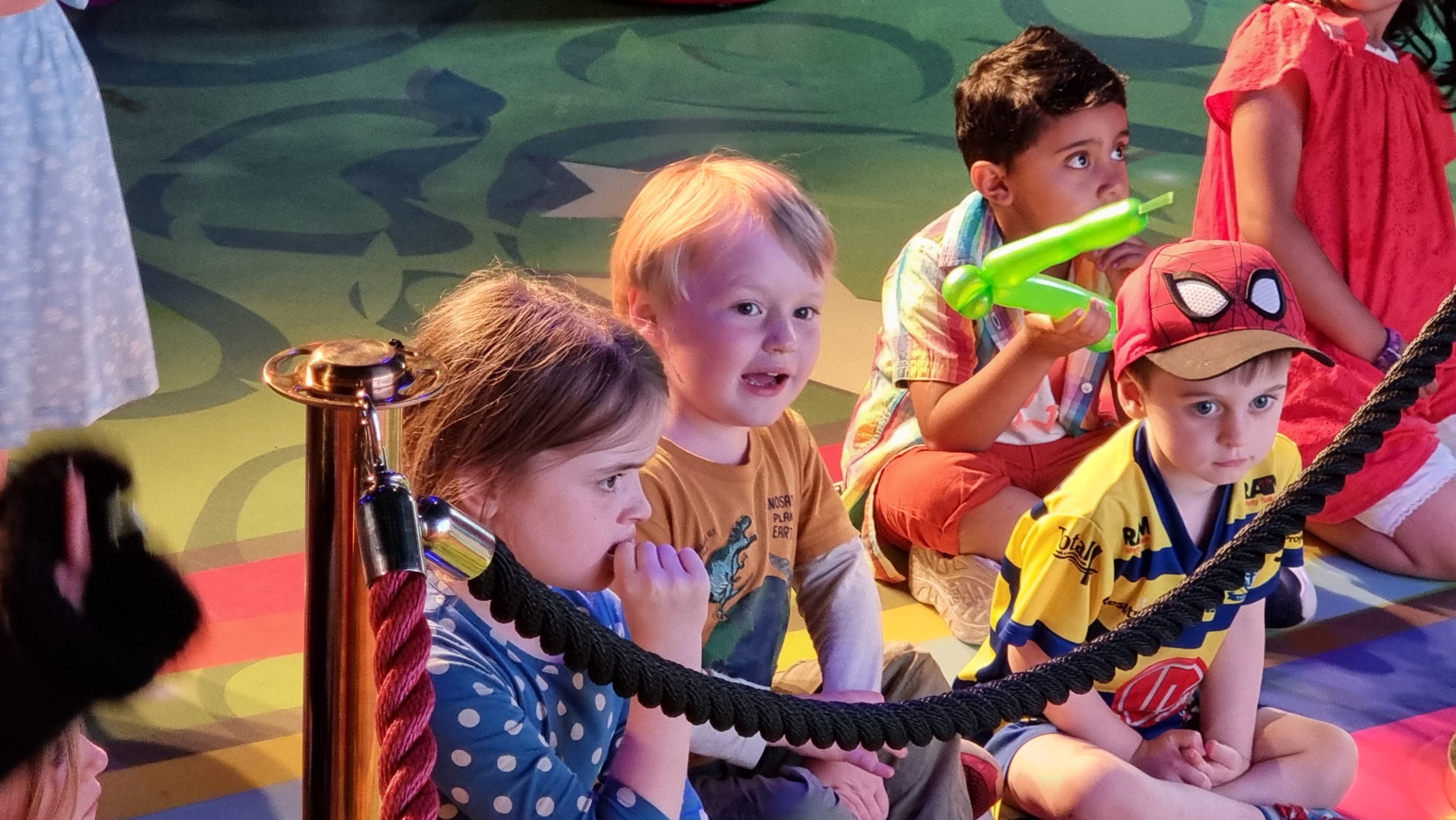
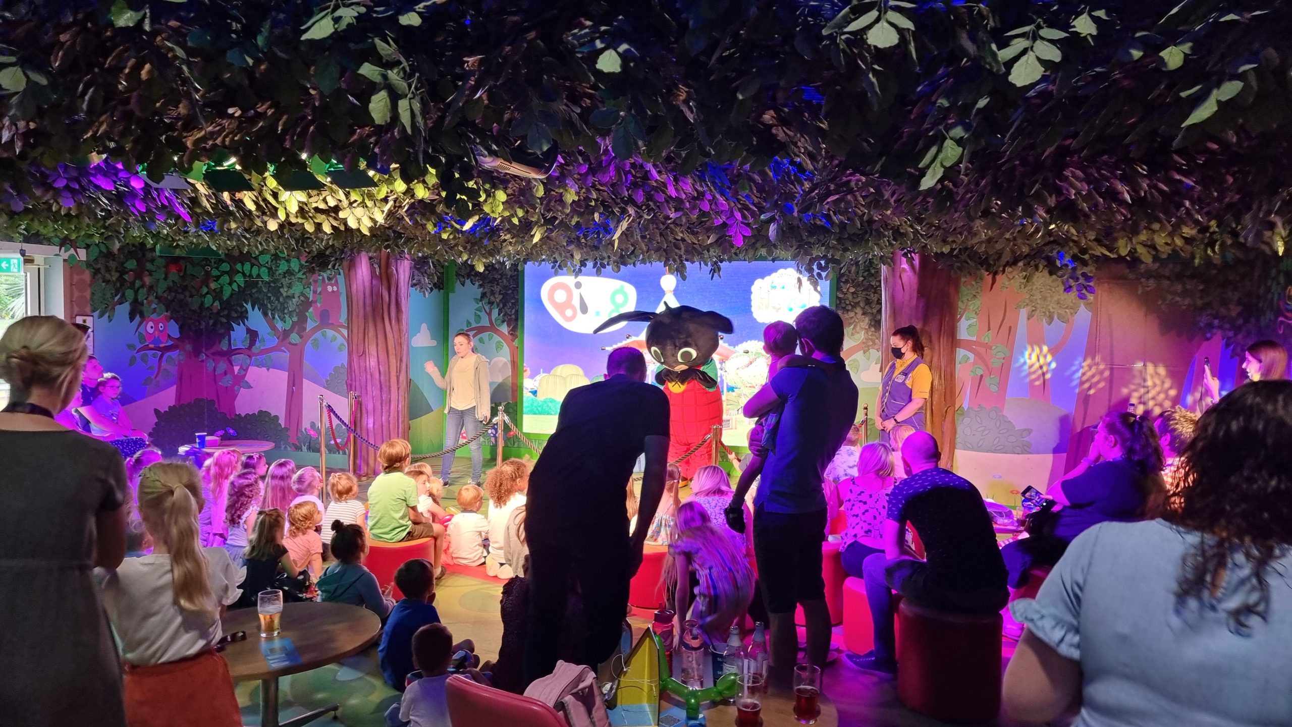
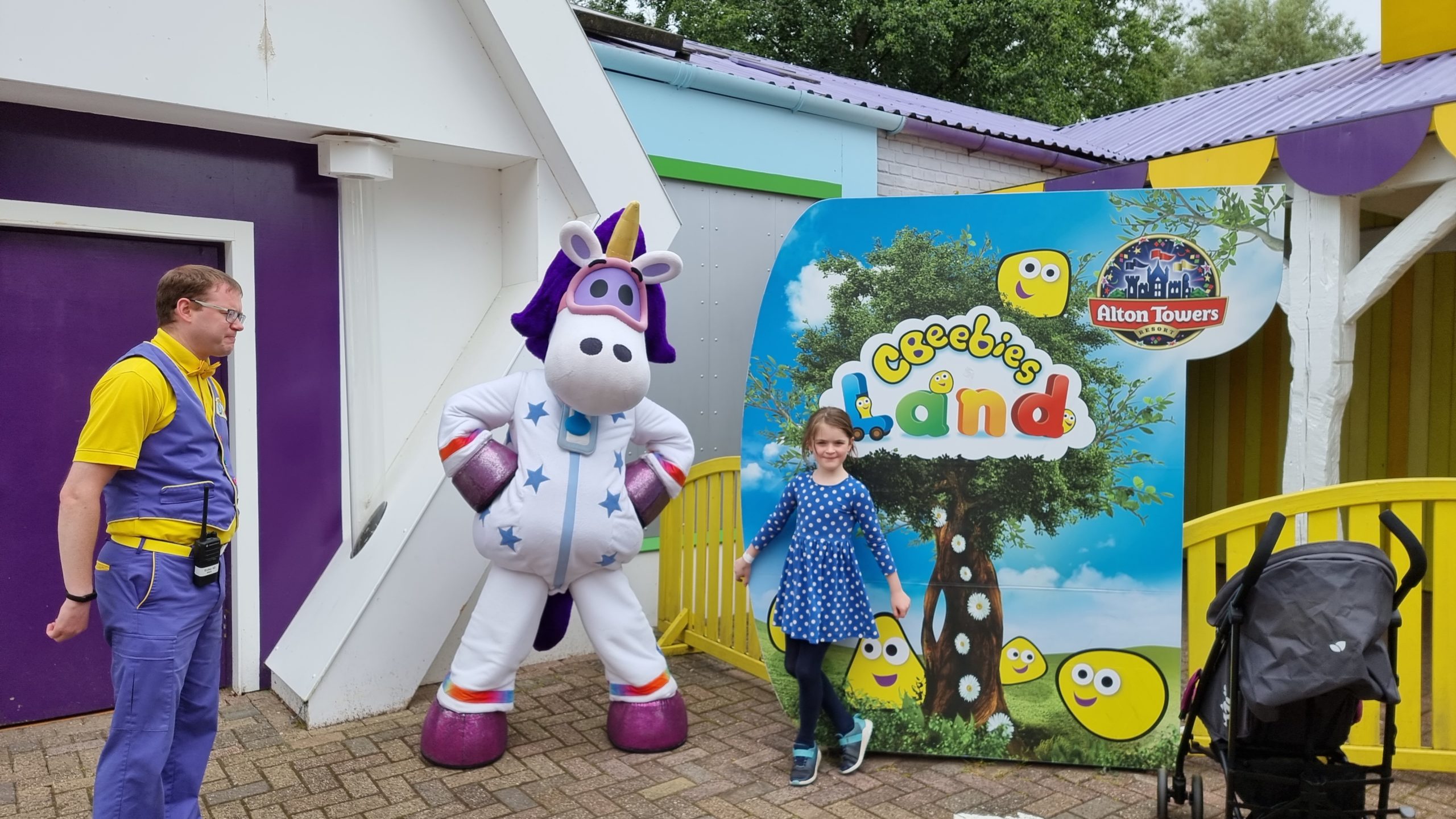
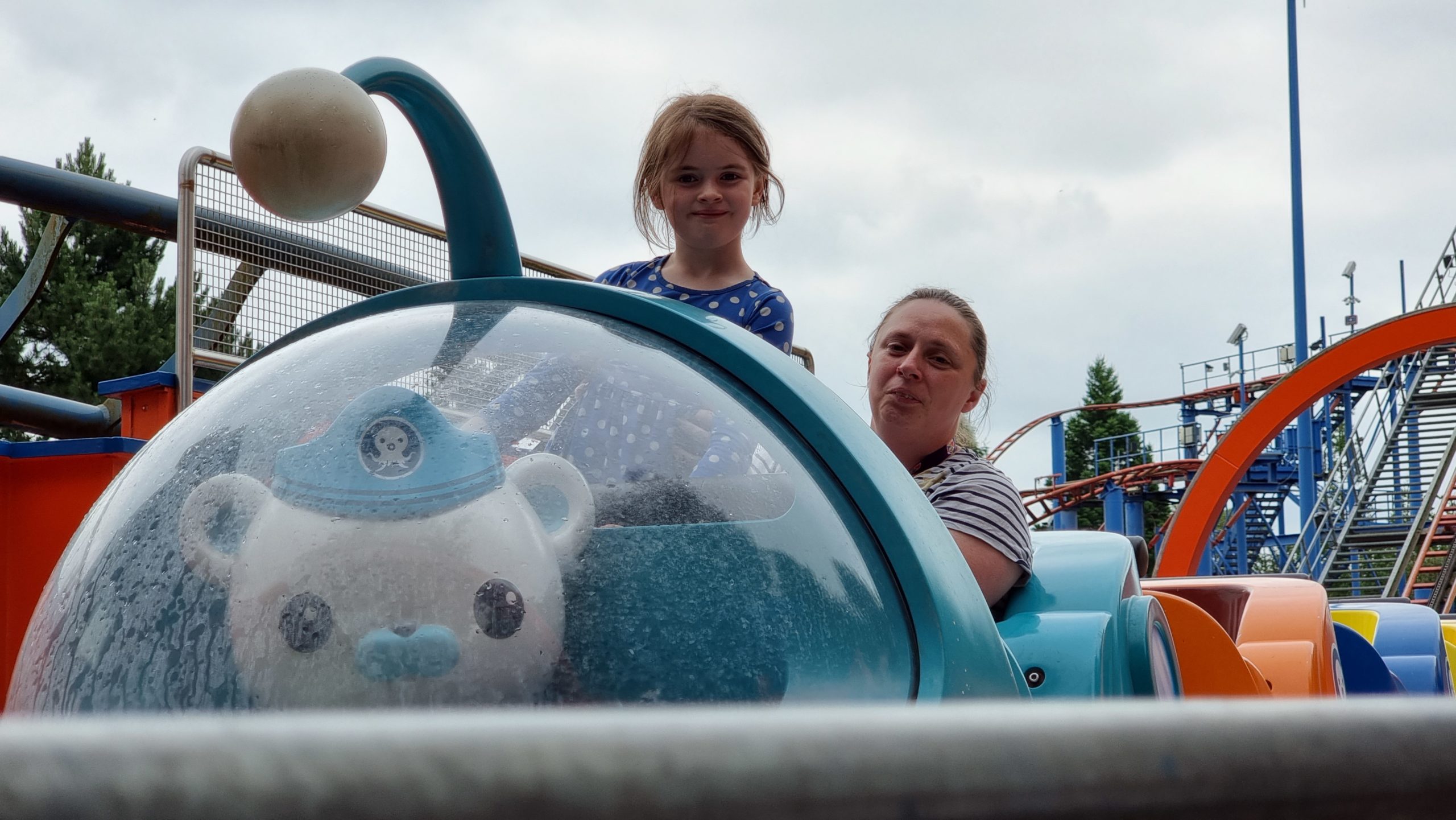
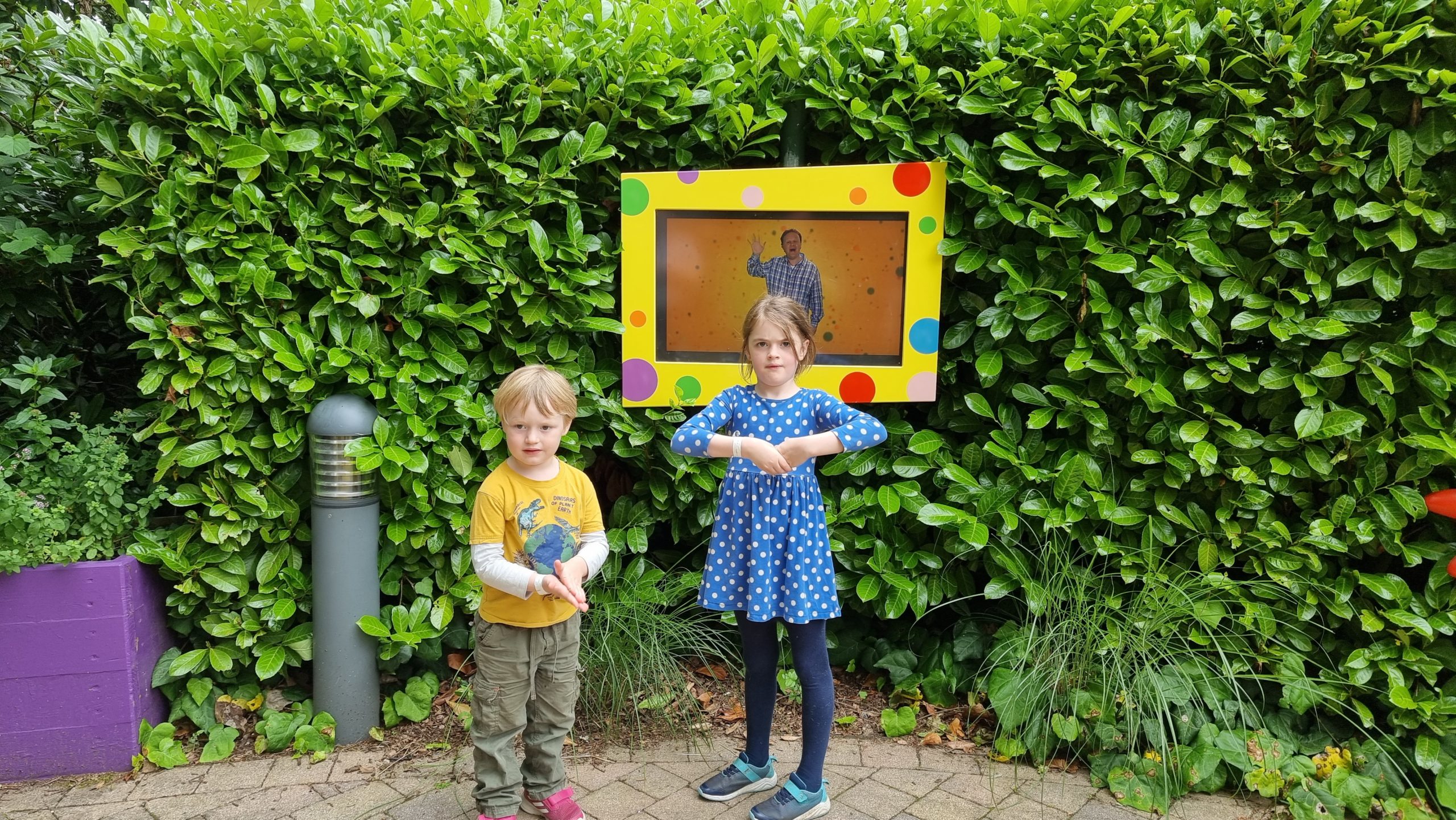
We spent a lot of our first day in the theme park in CBeebies Land, but we only had the patience to queue for the Octonauts rollercoaster the once.
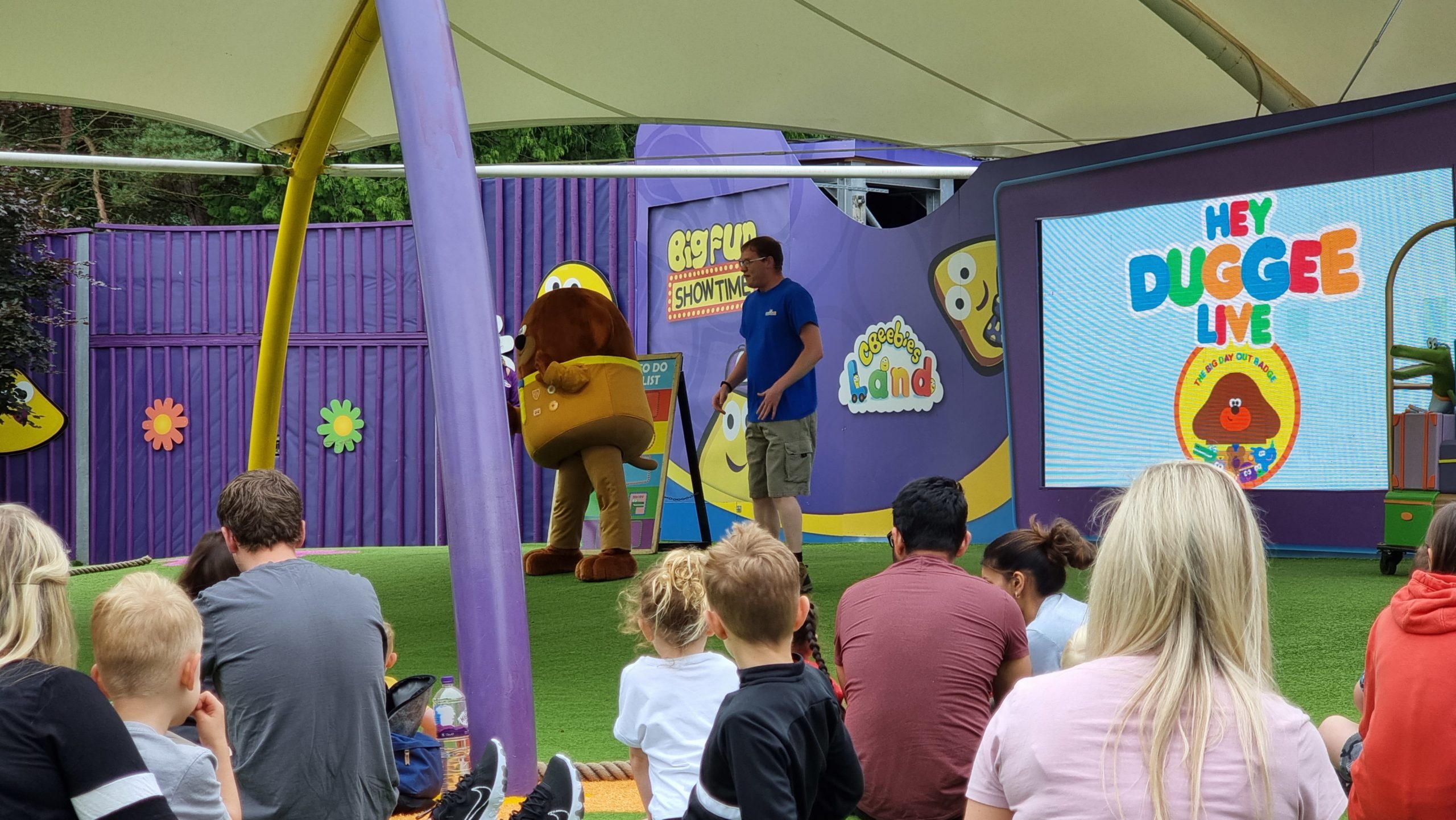
CBeebies Land itself had a variety of shows with different characters.
Makaton for “friend” is just cute. Thanks, Mr. Tumble.
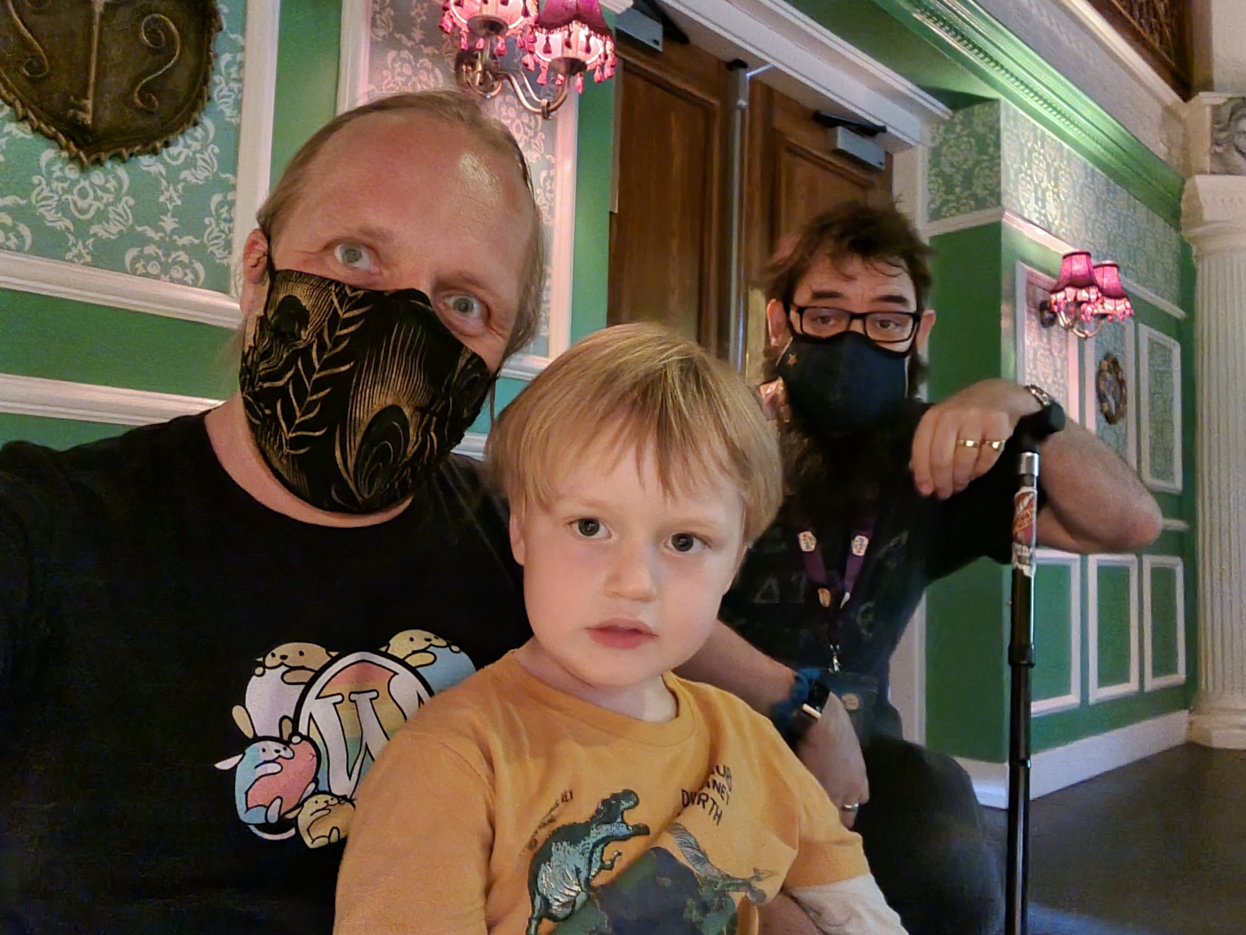
On these, among the hottest days of the year, we got quite sweaty inside our masks.
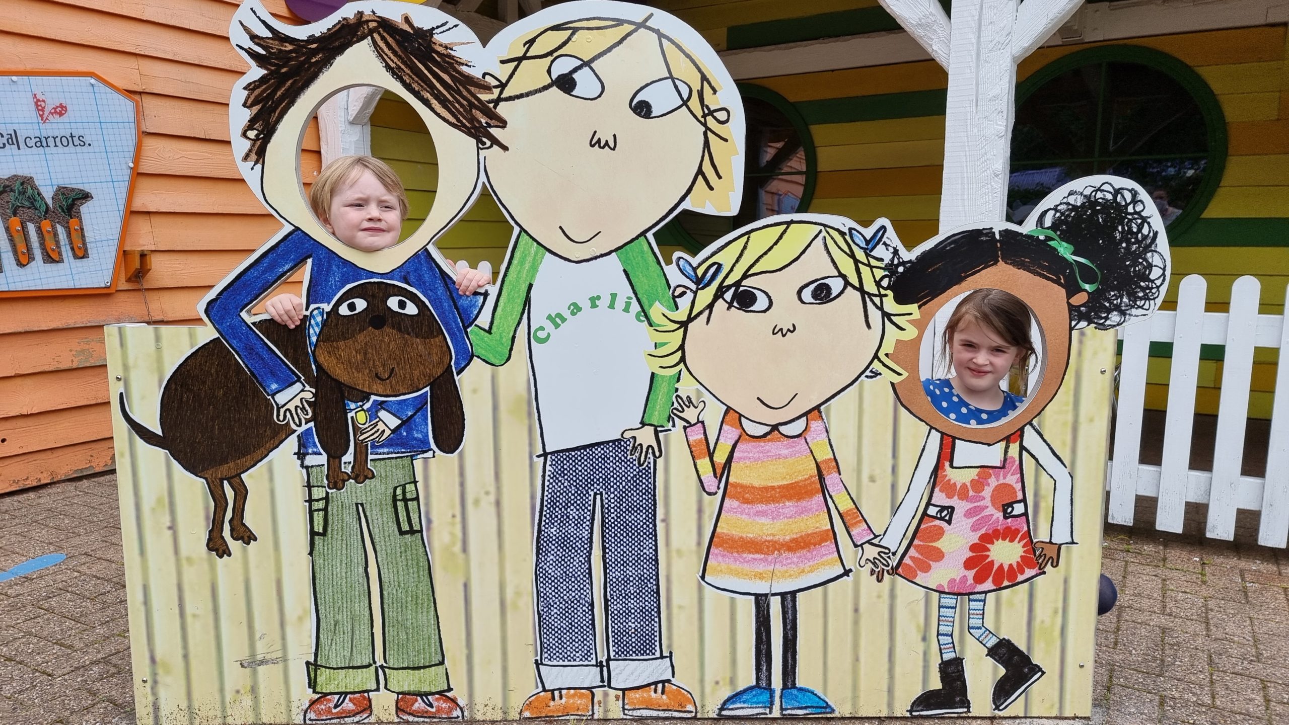
I’m not sure we optimised this photo opportunity for height.
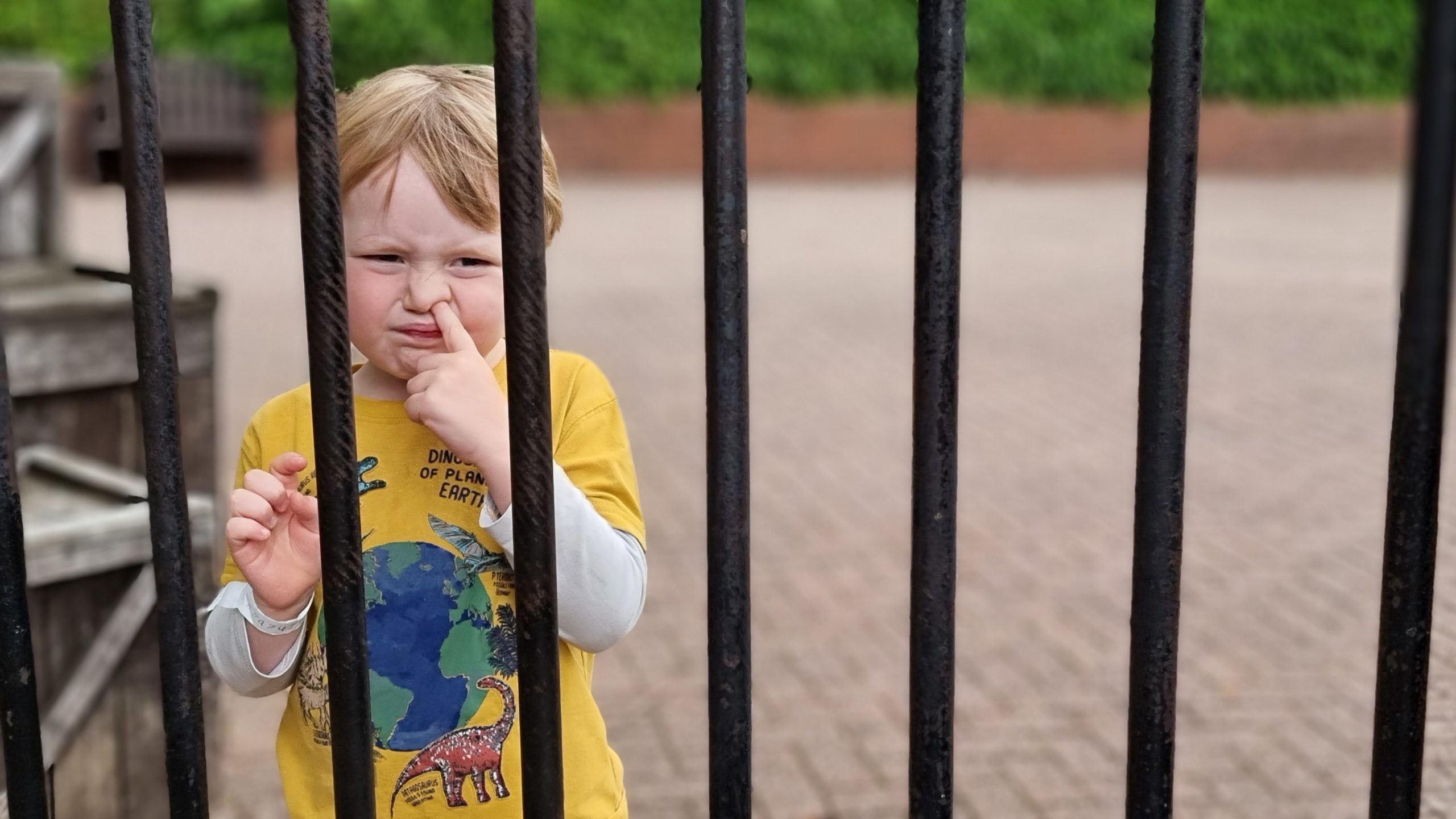
An unrepentant nose-picker gets jail time in Mutinty Bay.
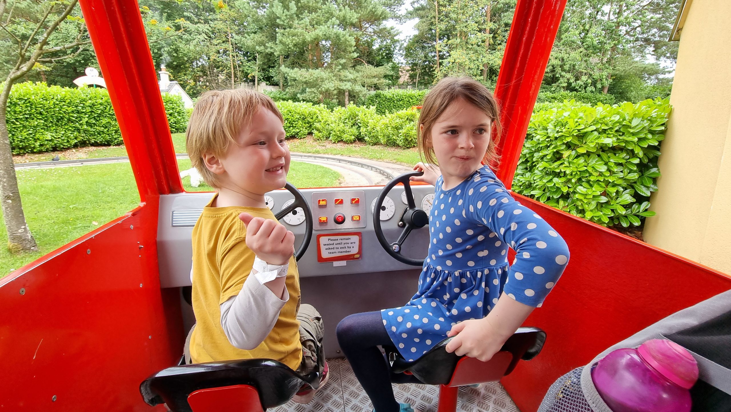
The Postman Pat ride designer had the foresight to provide two steering wheels in case the participants weren’t good at sharing… but still provided an odd number of buttons to use
to “deliver parcels” at key points during the ride.
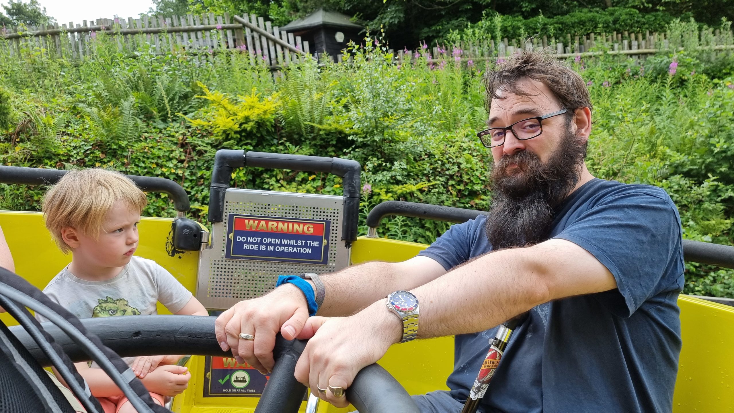
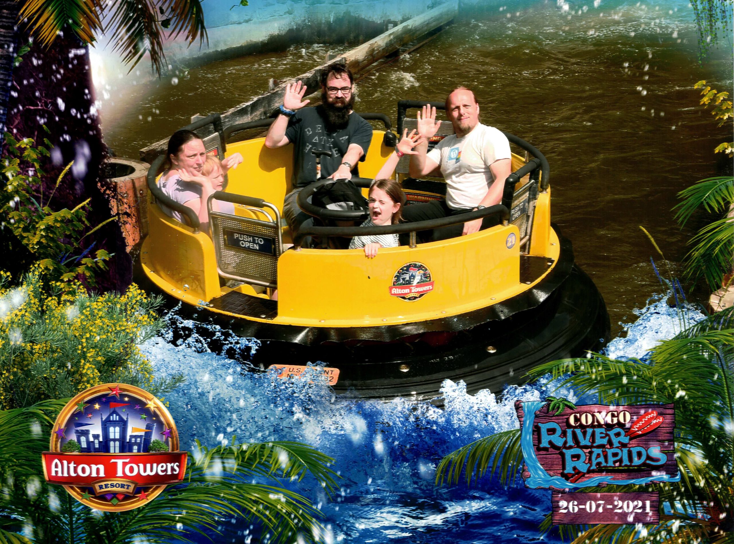
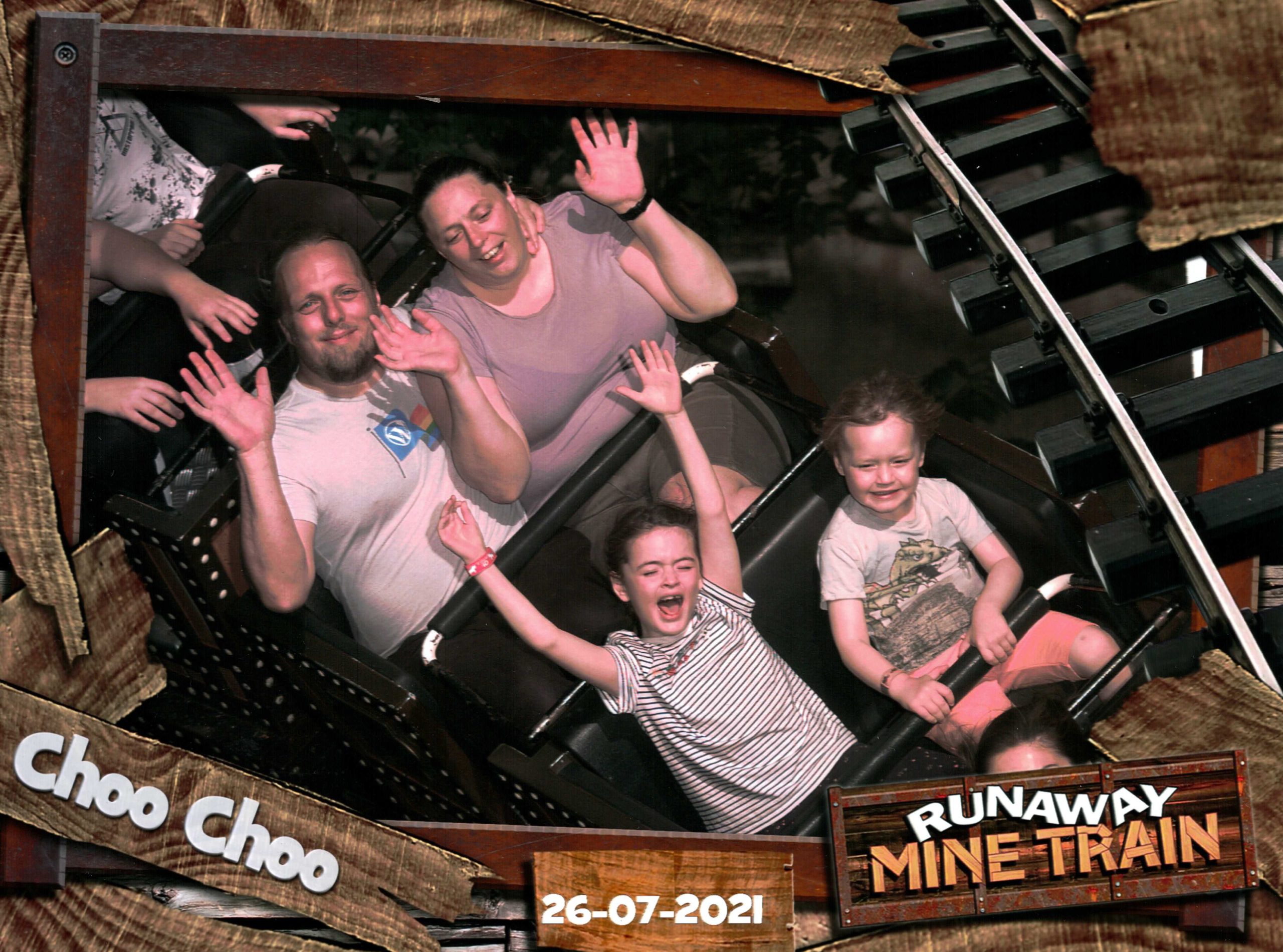
Later in the first day and into the second day we stepped up to more-exciting family rides, like the Congo River Rapids, and even a few thrill rides that interested only a subset of
our party.
The Congo River Rapids had a tediously long queue (not least because no groups, however small, were allowed to share a boat), but at least we all got to take part together as a
family.
The kids had to make a solemn promise to stop their bickering before they were allowed to sit together for this ride.
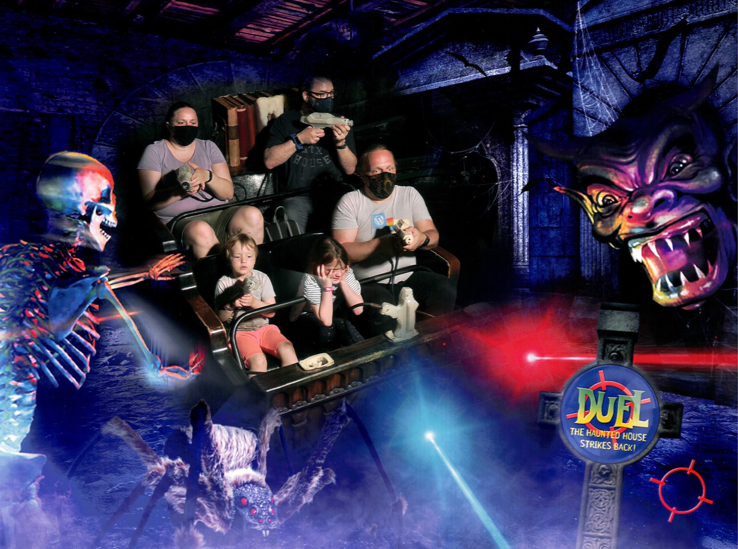
Not everybody was equally-enthusiastic about haunted house shoot-’em-up ride Duel.
2. Darwin Forest
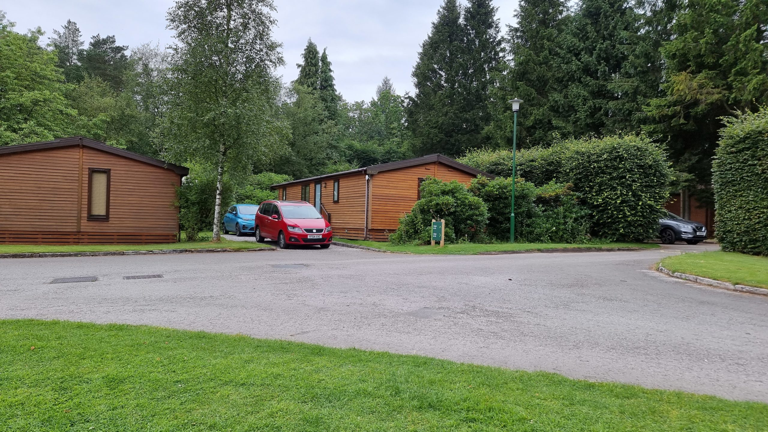
The second leg of our holiday took us to a log cabin in the Darwin Forest Country Park for a week:
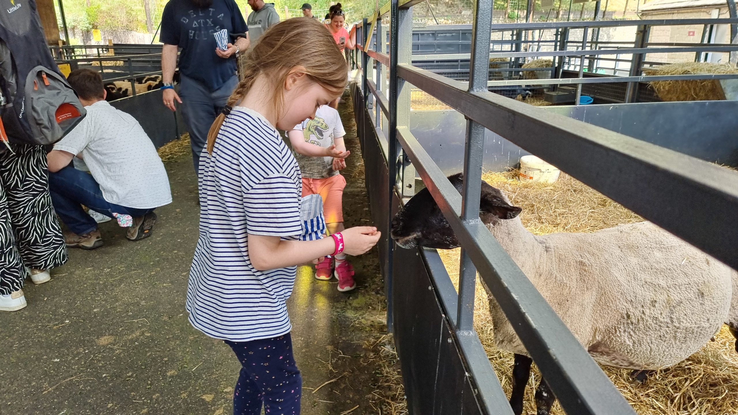
We punctuated our journey from Alton Towers with a trip to Chatsworth House to feed some livestock.
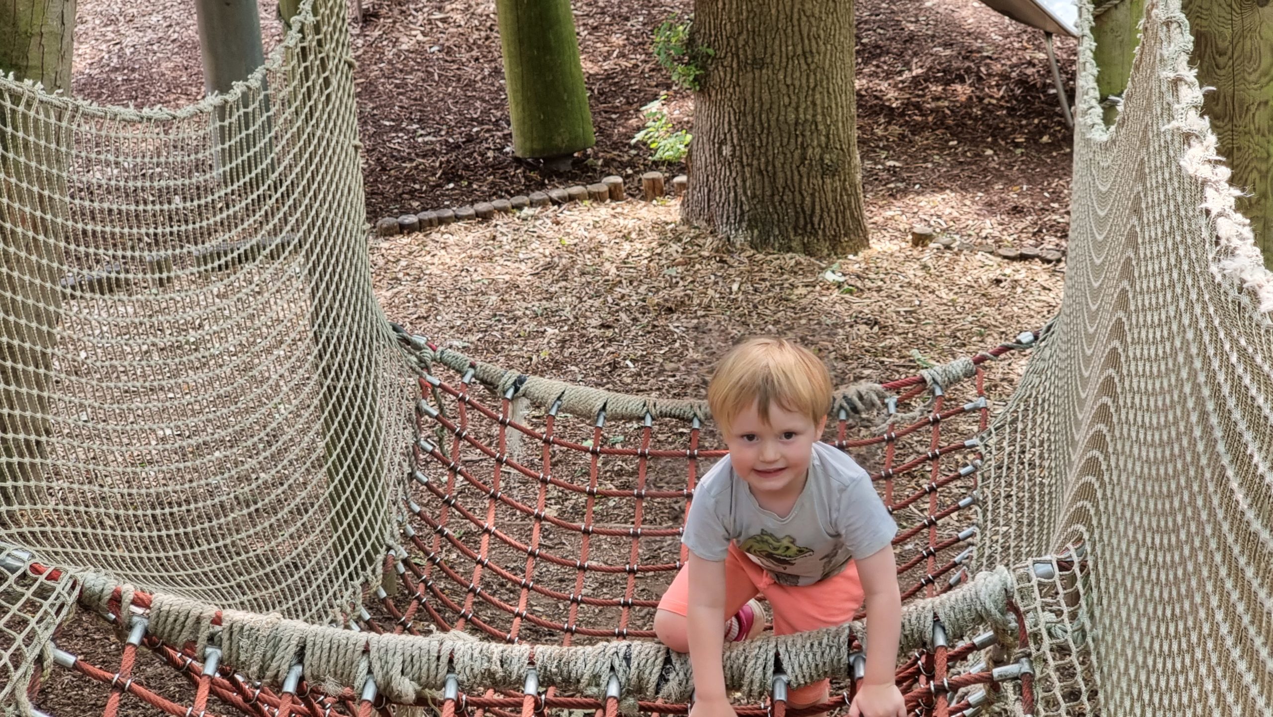
Chatsworth House also has a spectacular adventure playground.
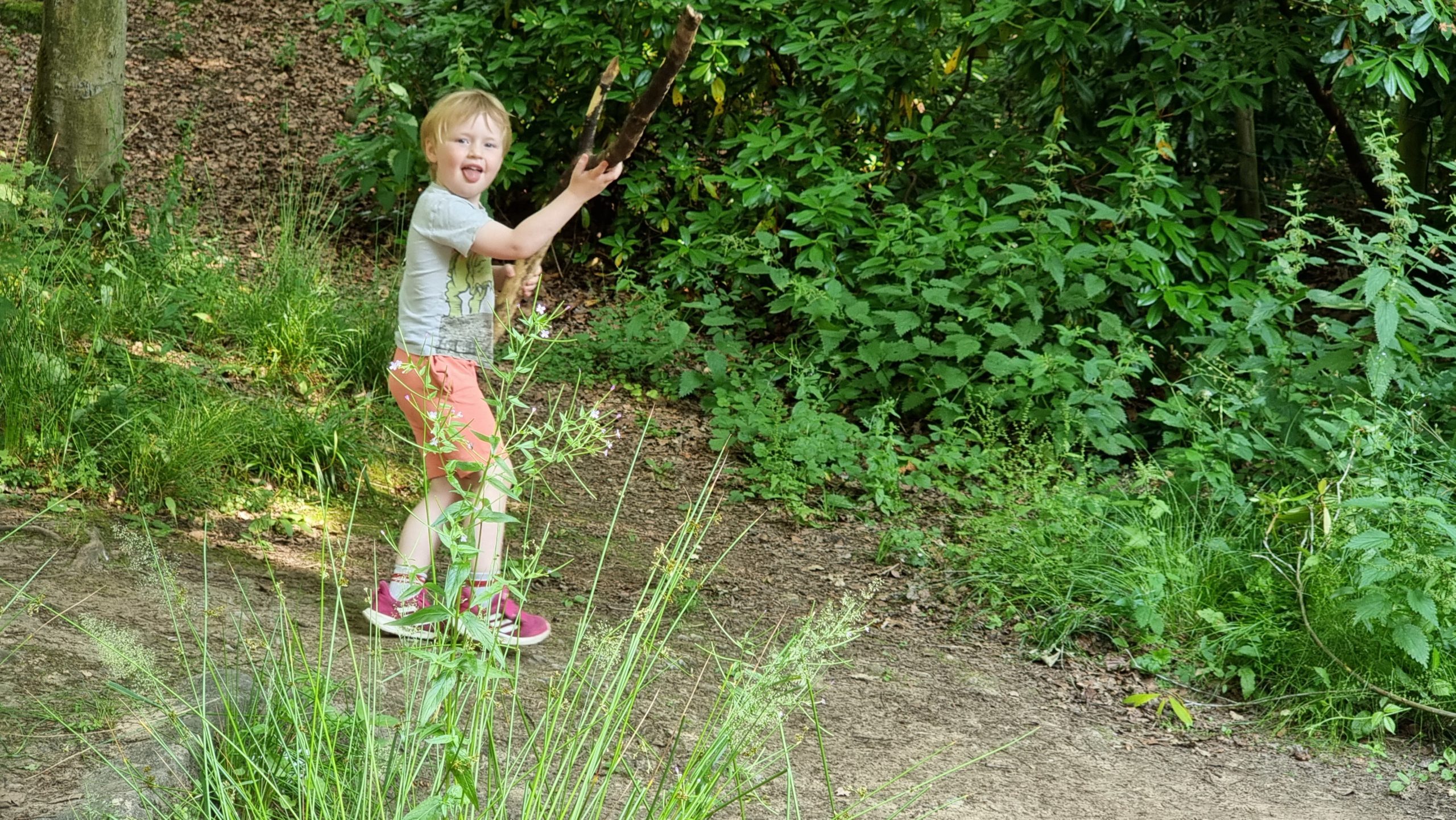
“I found a stick!” “That’s… half a tree!”
Eventually we reached our cabin, unpacked… and jumped into the hot tub!
For the duration of the week we instituted “holiday mornings”, permitting the children to get up by themselves, assemble their own breakfast, and watch broadcast TV… so long as they
did so without disturbing the adults. It worked pretty well.
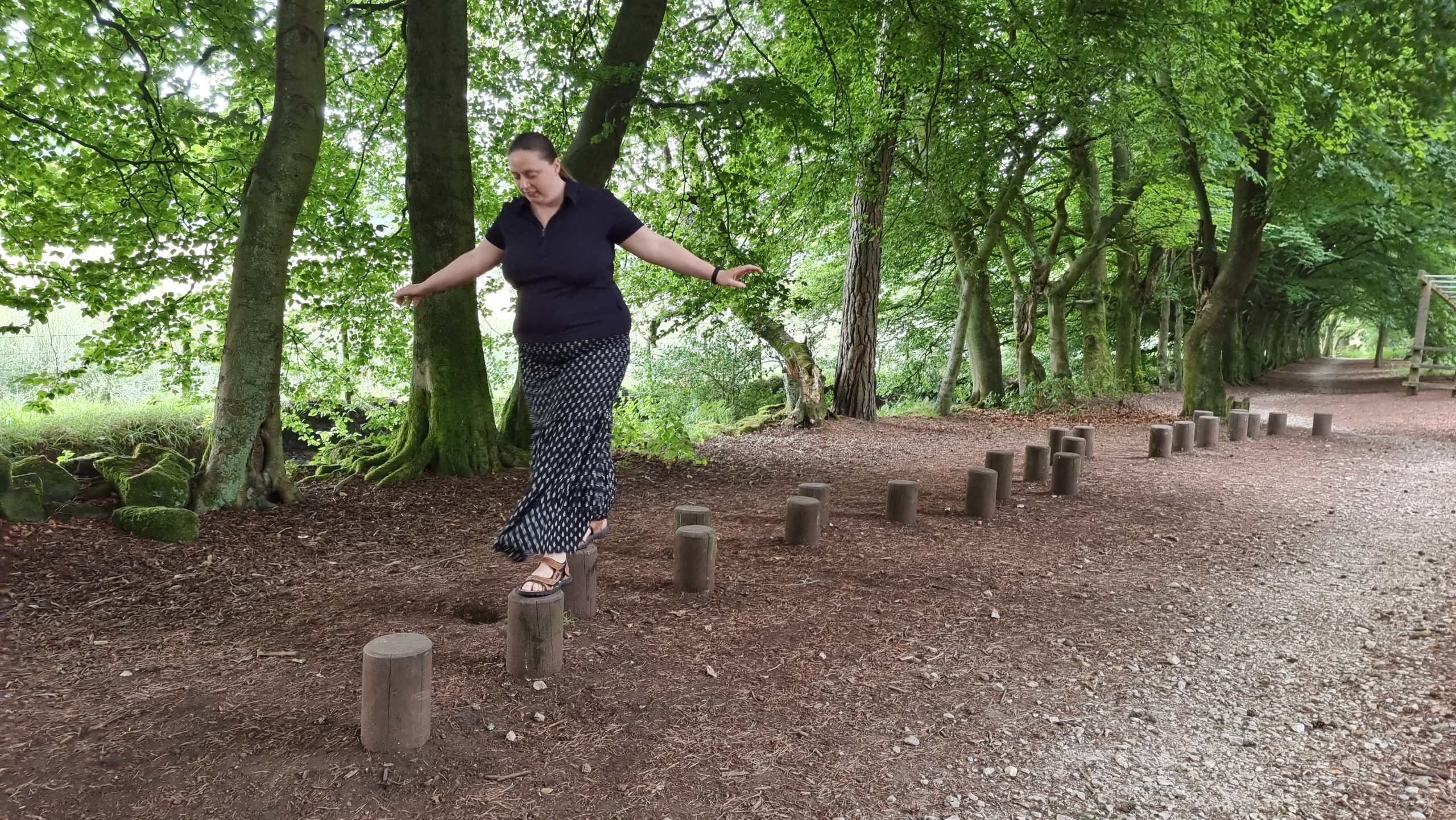
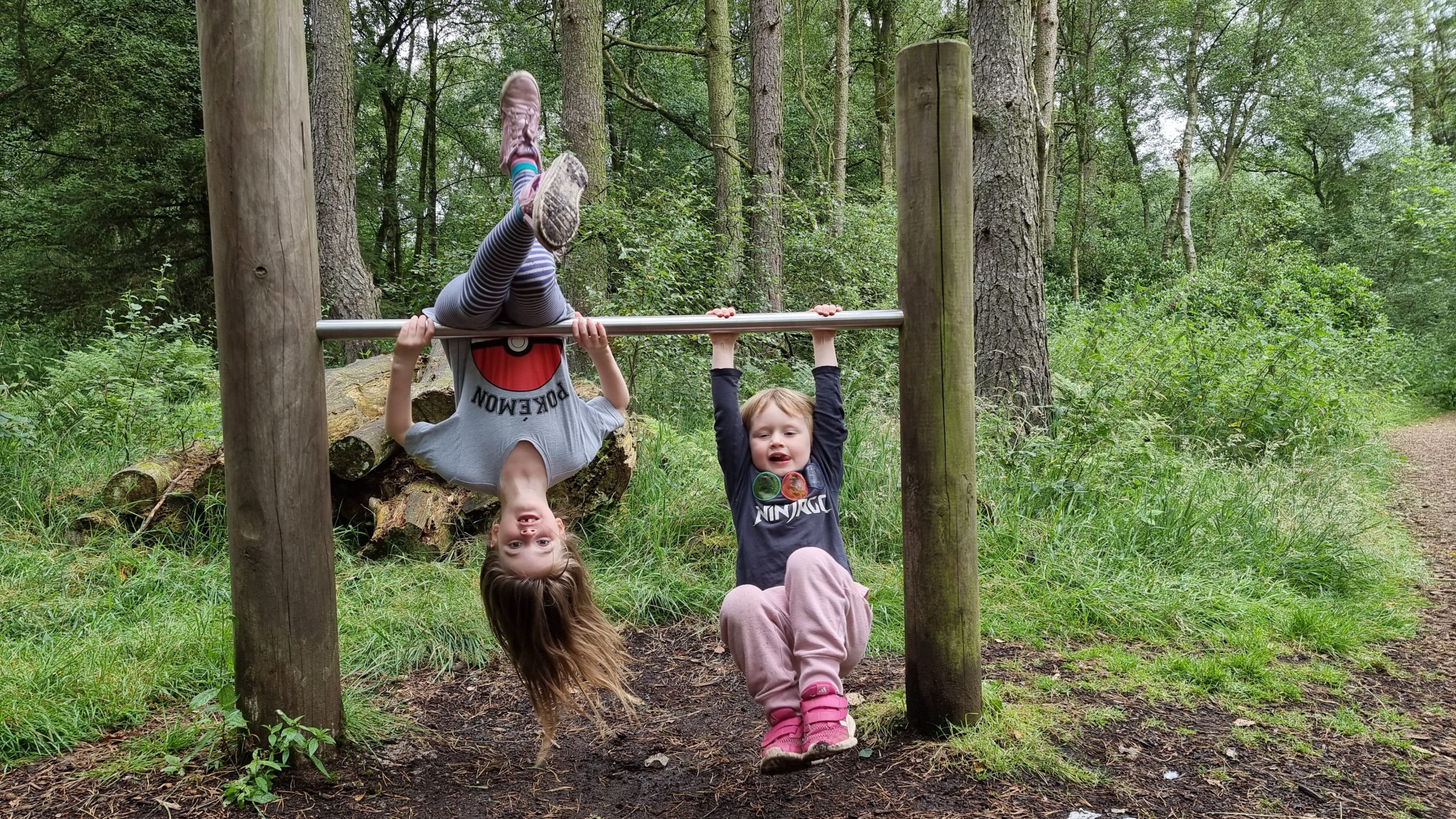
The forest trails are full of obstacles fun for children… and adults.
This way up.
No, THIS way up!
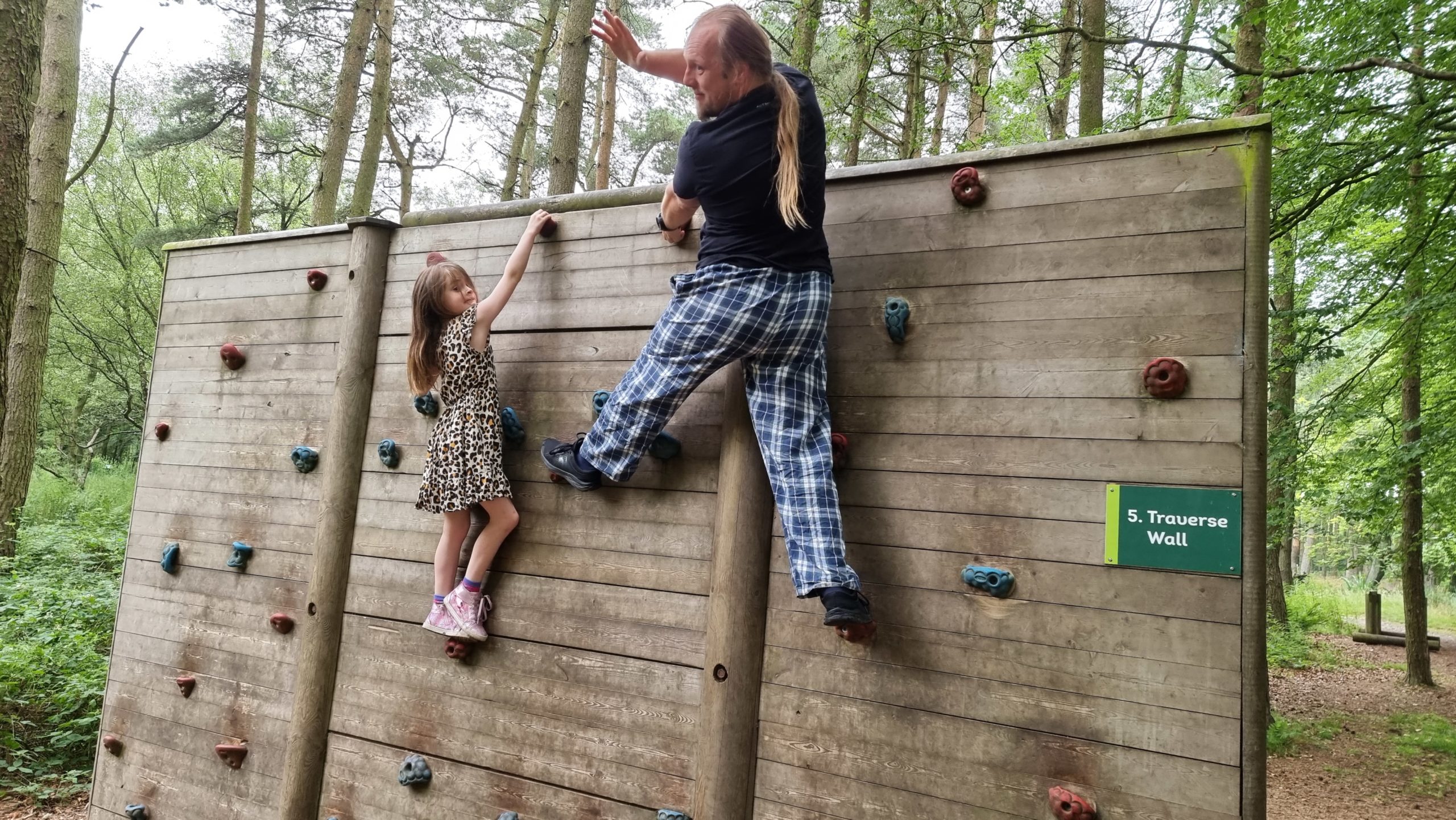
Further along the trail, there’s a traverse wall.
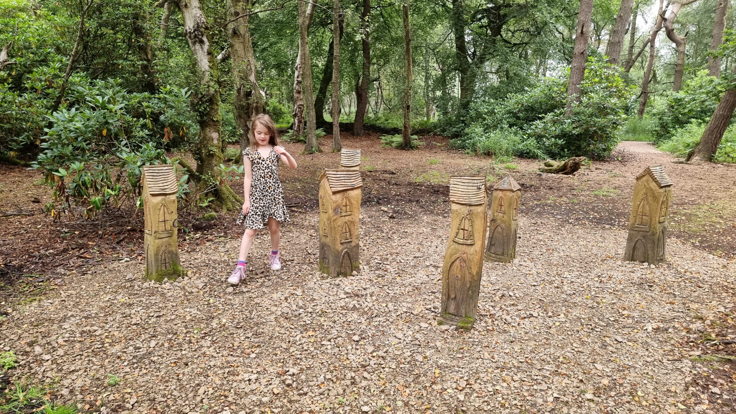
Off the trails, all kinds of curious sculptures – like these fairy houses – can be found.
We forgot to bring a football, but we played lots of imaginary sports.
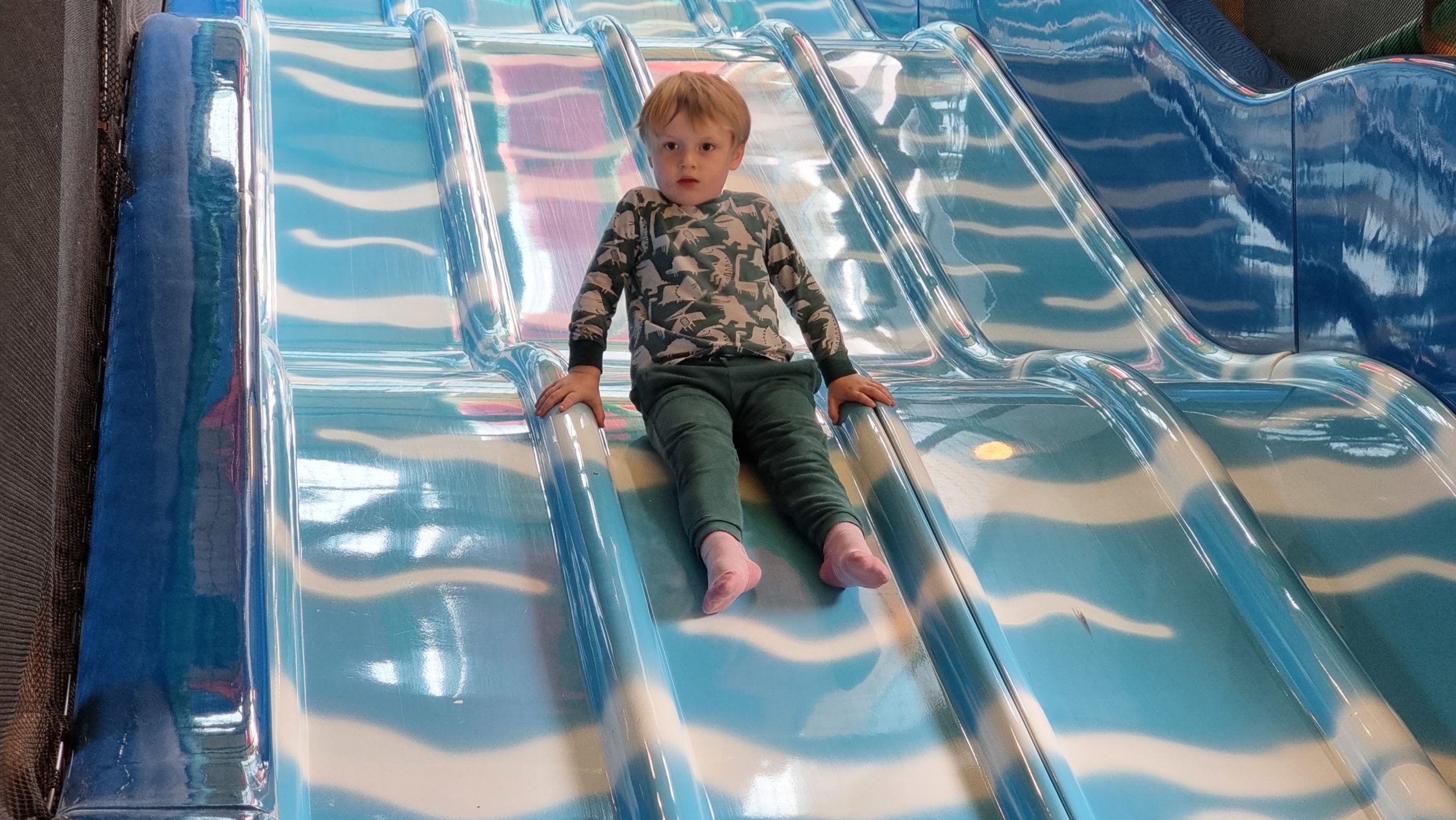
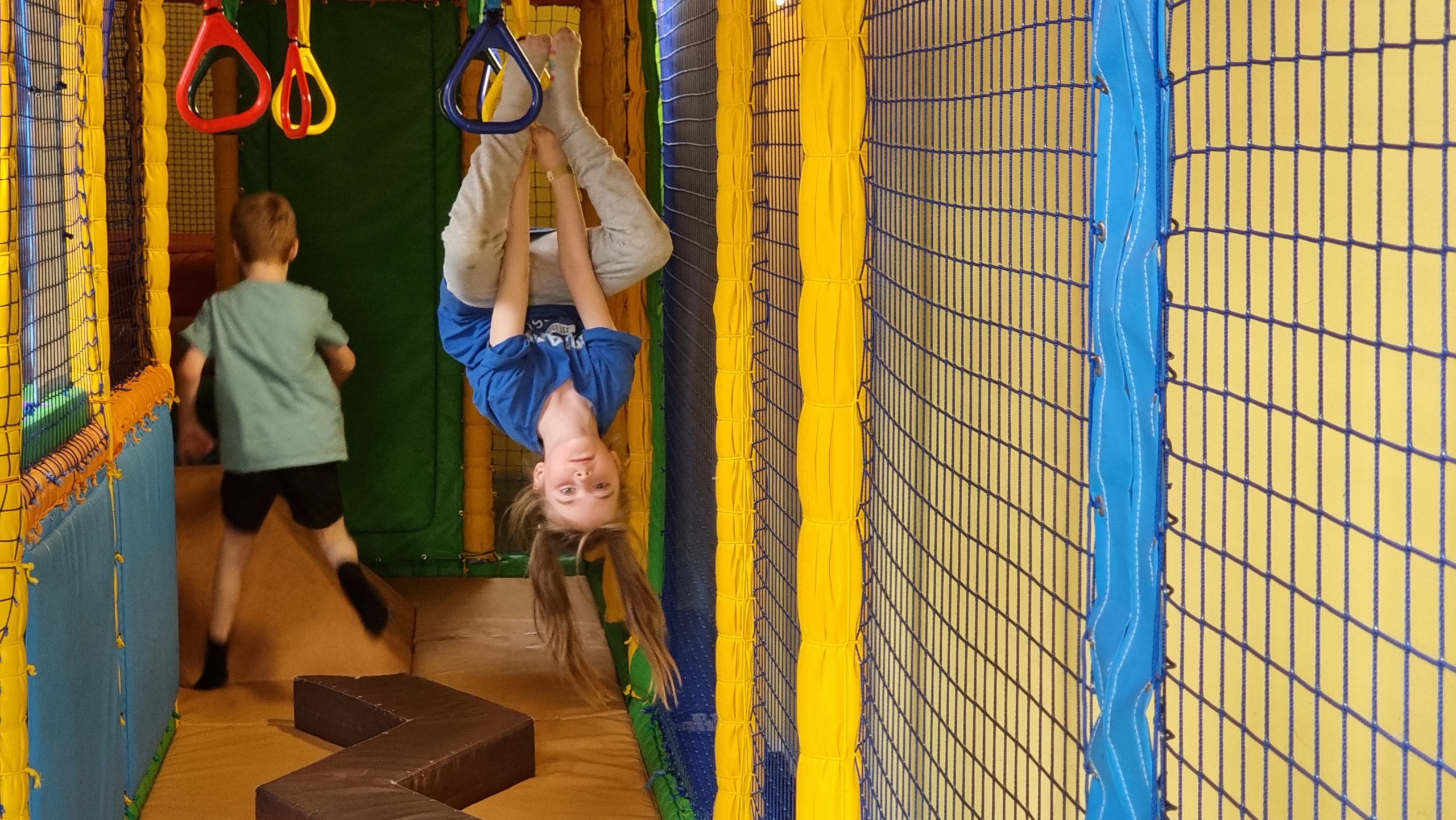
The on-site soft play centre operated at minimal capacity, which felt about right.
A soft play centre with a low population means you’re often alone on the racing slides…
…that is, unless you bring your own racers to compete with!
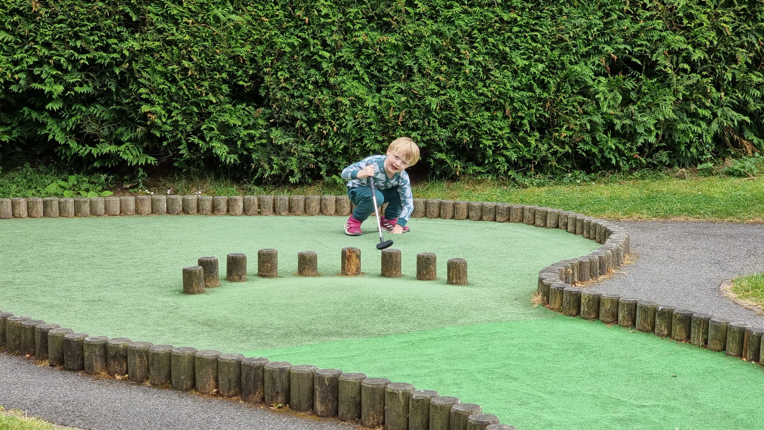
The second mini-golf course of our holiday was deceptively harder than the first thanks to awkwardly-shaped obstacles that reflected the ball out at terrible angles.
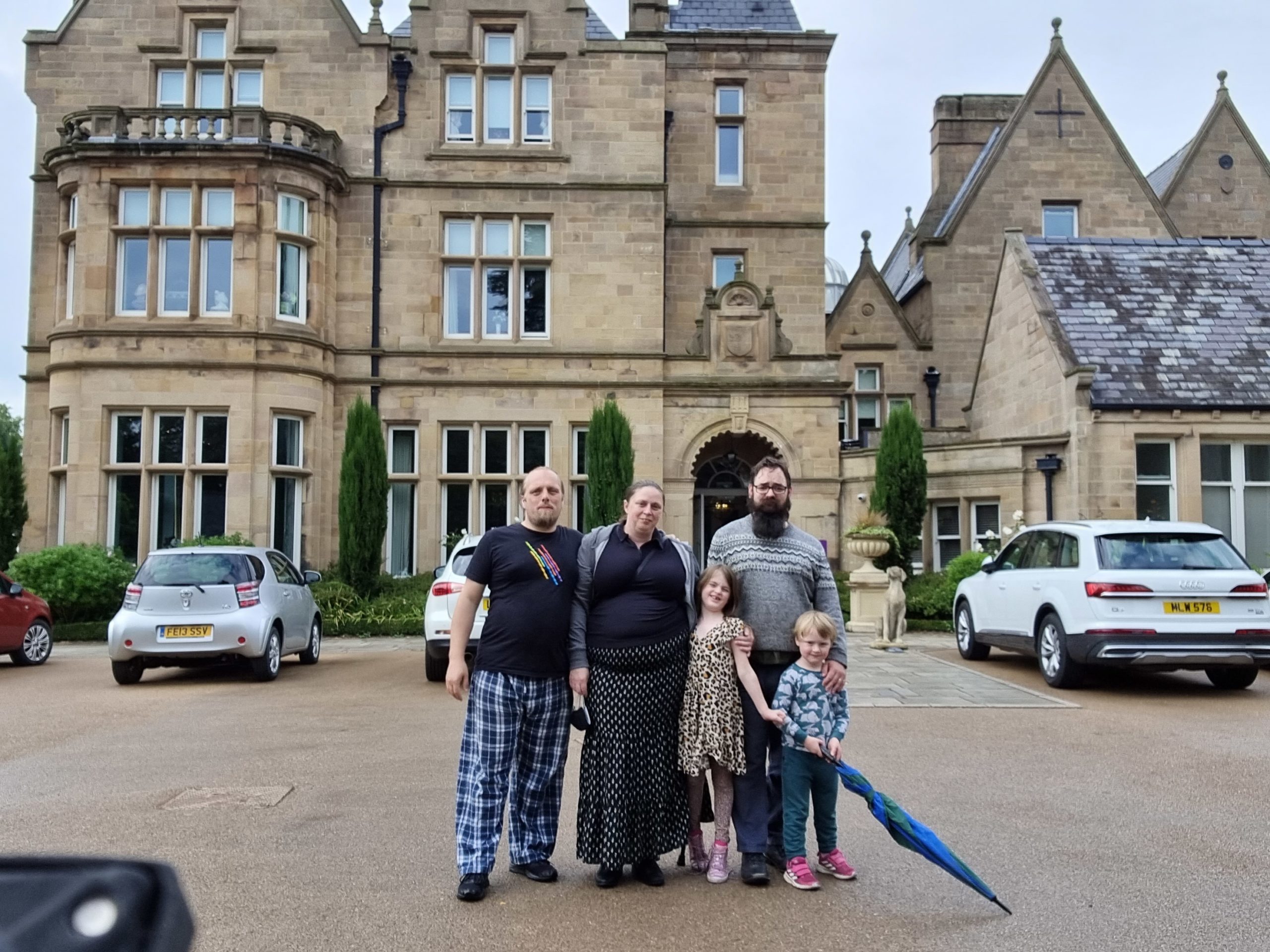
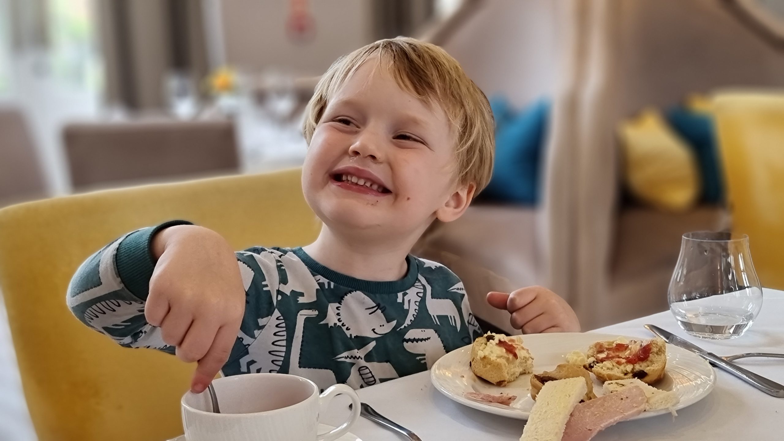
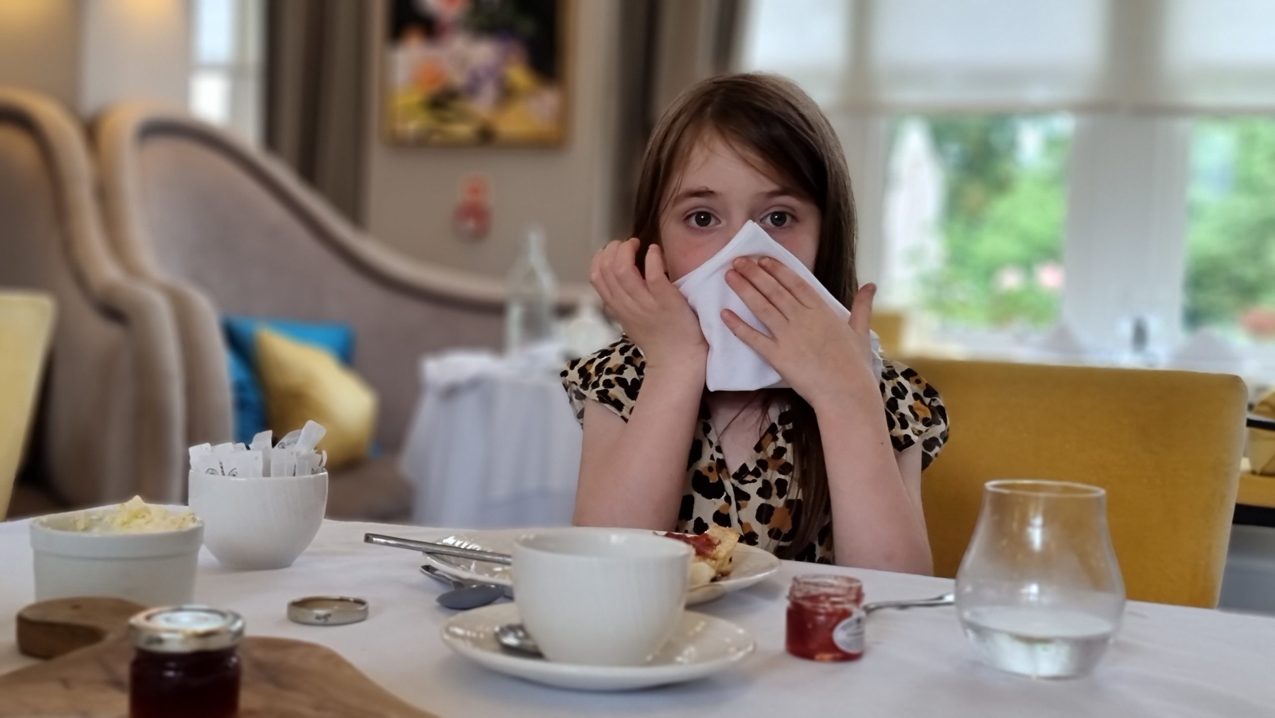
Ruth’s old secondary school is now an old folks home and an attached fancy tea room, so – as we were in the vicinity – we had to go visit!
Remarkably, the kids (for once) showed impeccable table manners.
I’m almost embarrassed to say that this, one of the best photos I’ve ever taken, was snapped accidentally when a 4-year-old reached over and touched my camera.
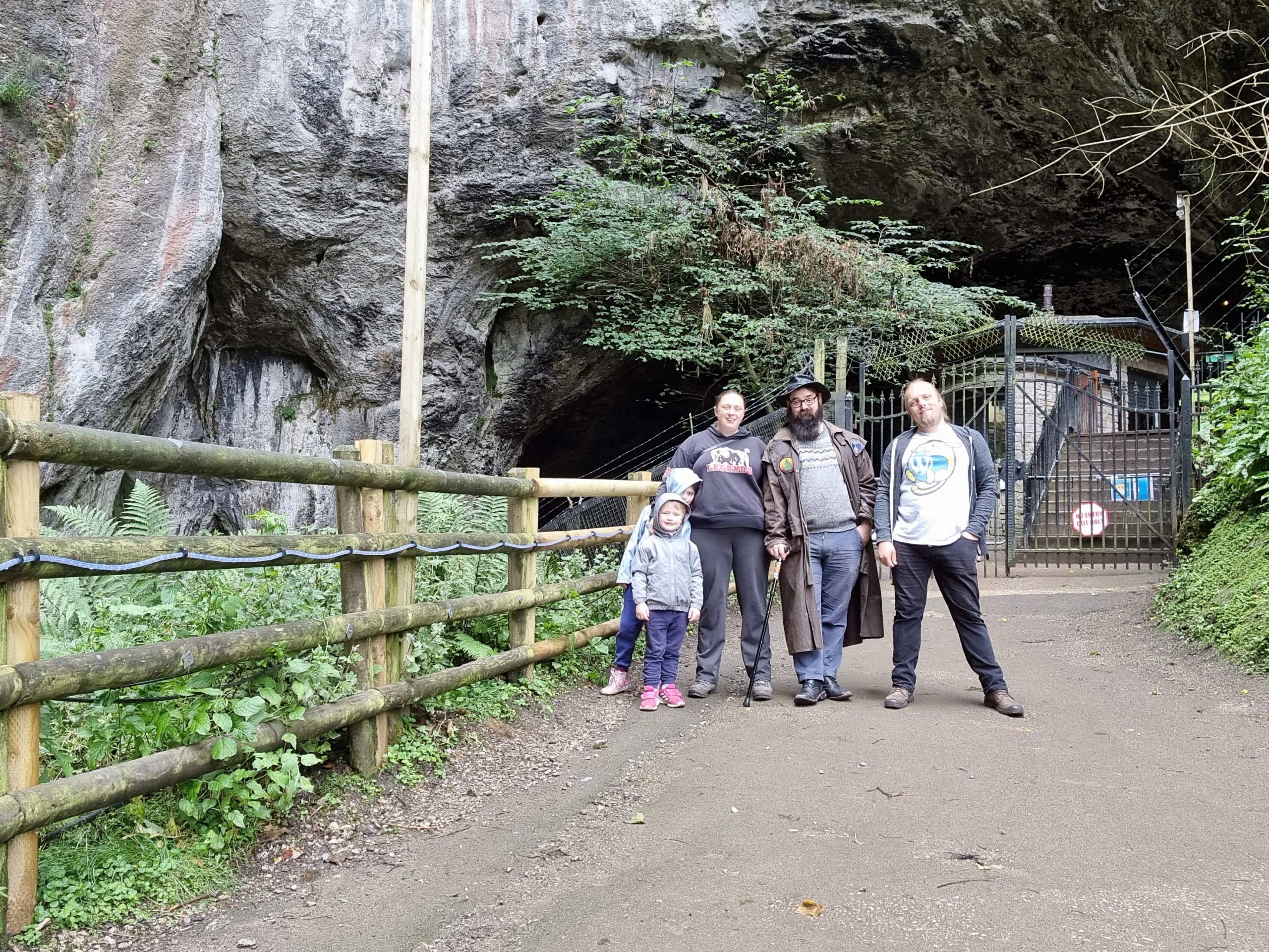
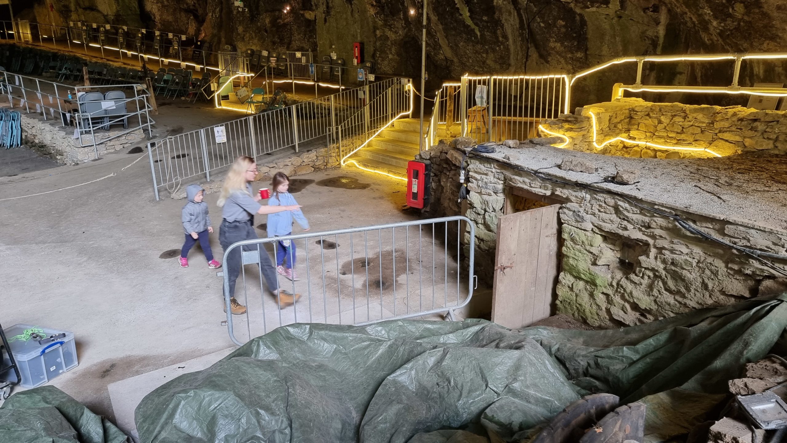
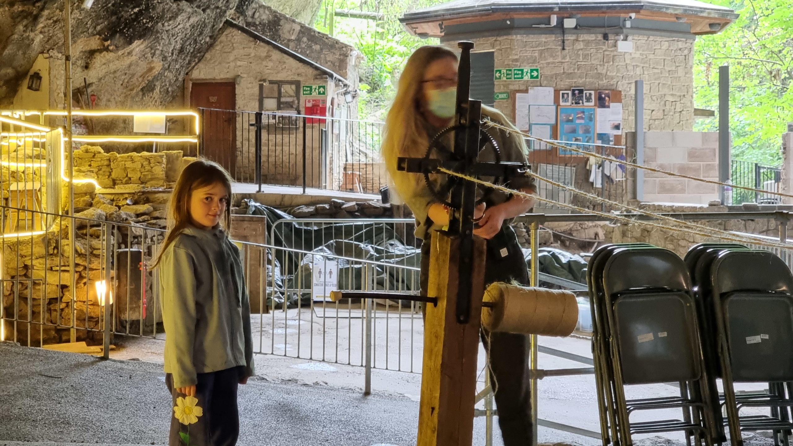
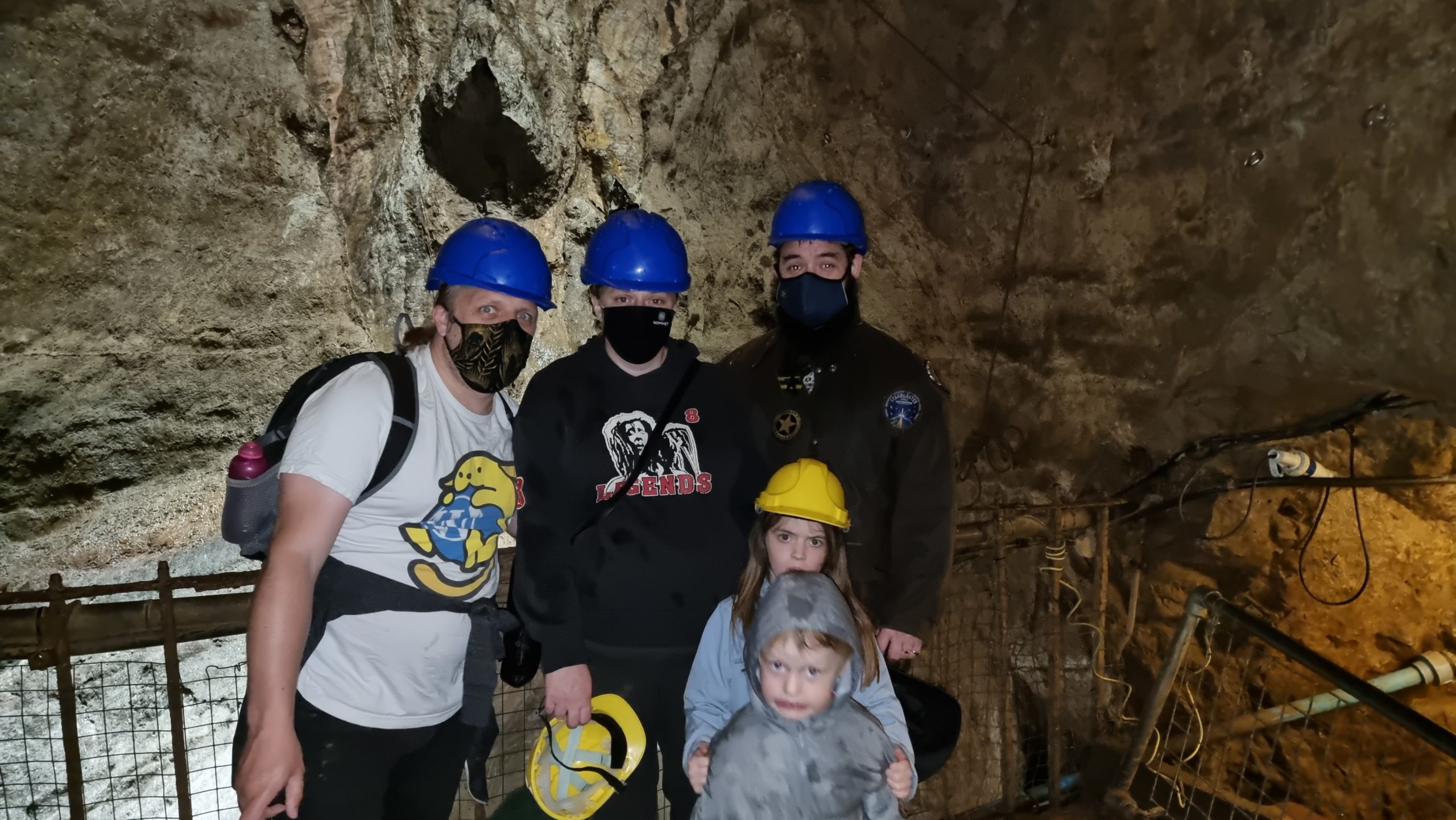
What else does one do in the Derbyshire Dales? That’s right: go down caves!
Staff at the Devil’s Arse were amazing and even took the kids on their own personal tour of a ropemaker’s hut (not part of the routine tour).
We also got to bring home a length of rope that the kids helped make.
It turns out to be hard to take a good photo down a cave. Can’t think why.
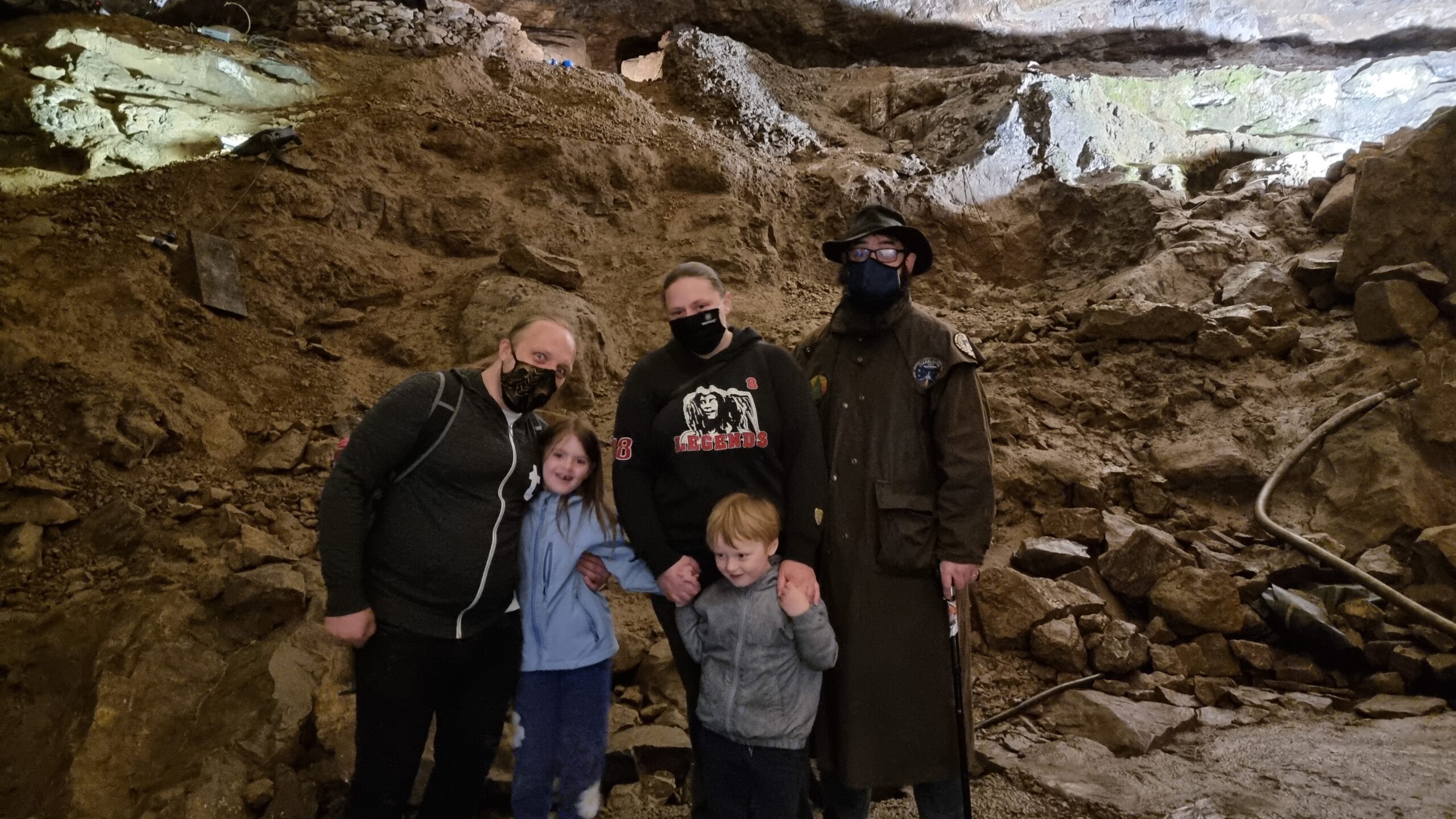
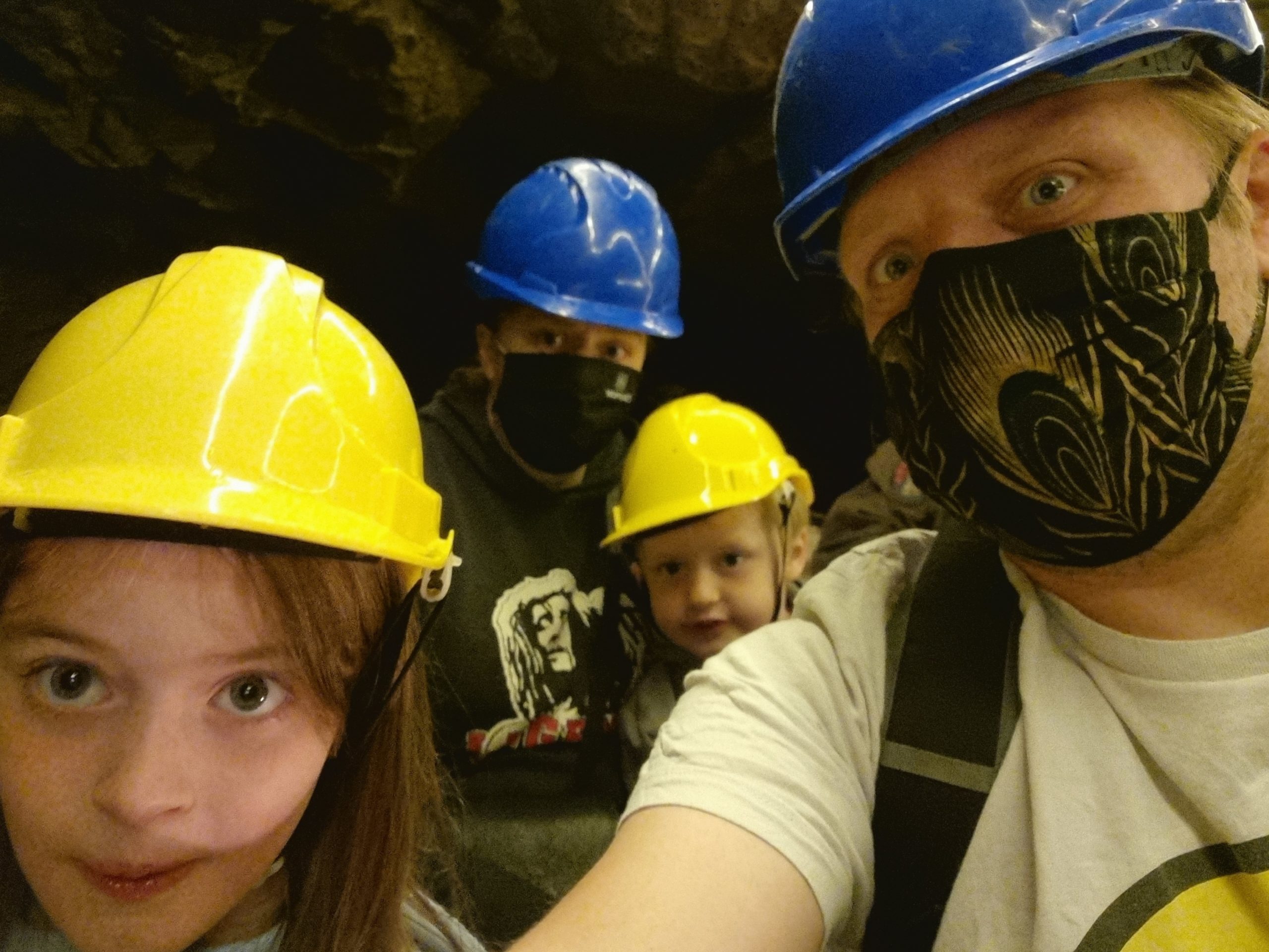
Our second spelunking expedition took us into Speedwell Cavern by boat.
The bottomless pit, behind us, turns out to be less-bottomless than advertised.
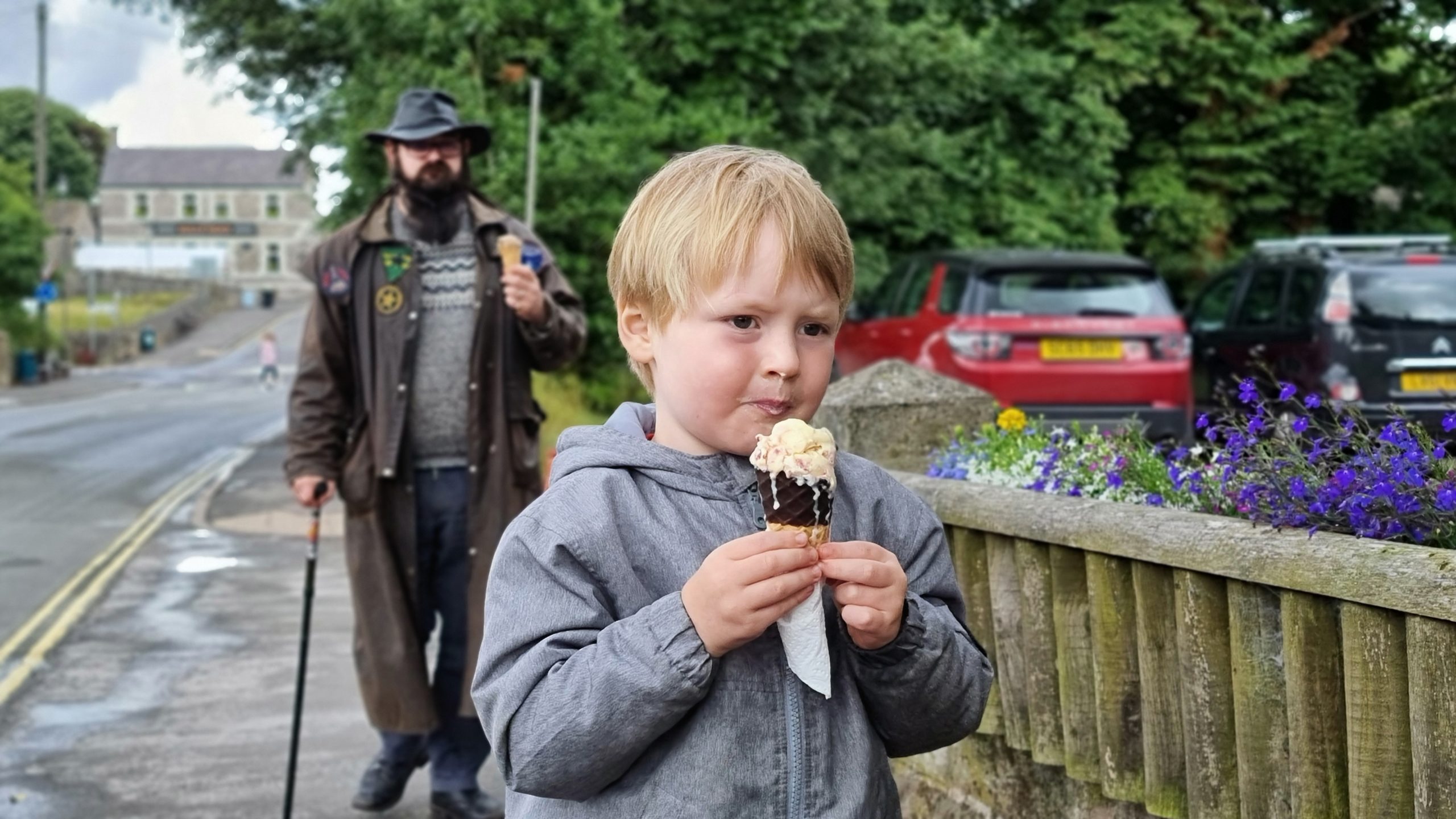
When it wasn’t raining, it was hot. Either way, we were on holiday, so ice cream was in order.
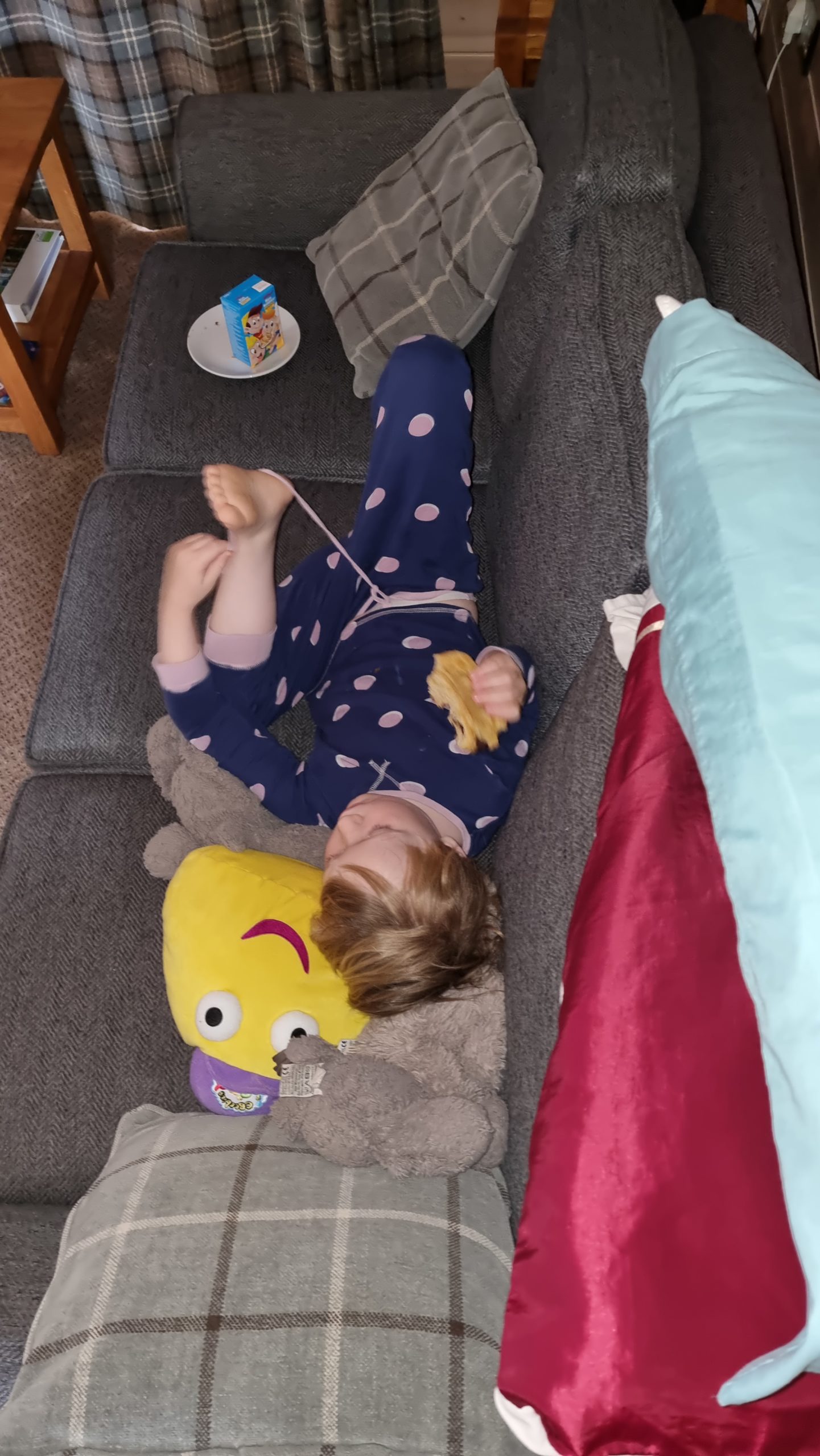
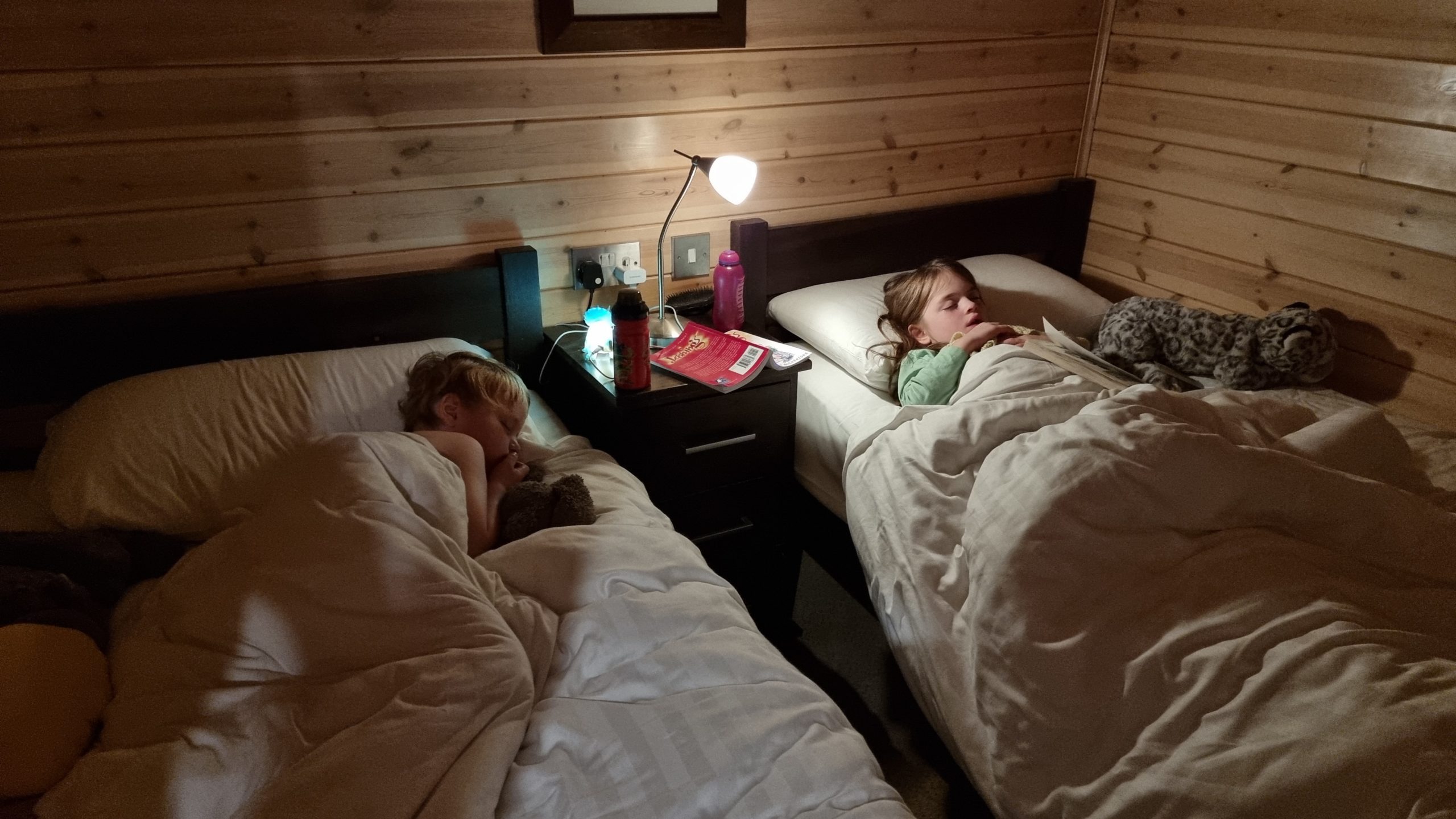
The kids shared a bedroom for pretty-much the first time since we moved house last year, and routinely sat up late reading stories to one another until they zonked out mid-book.
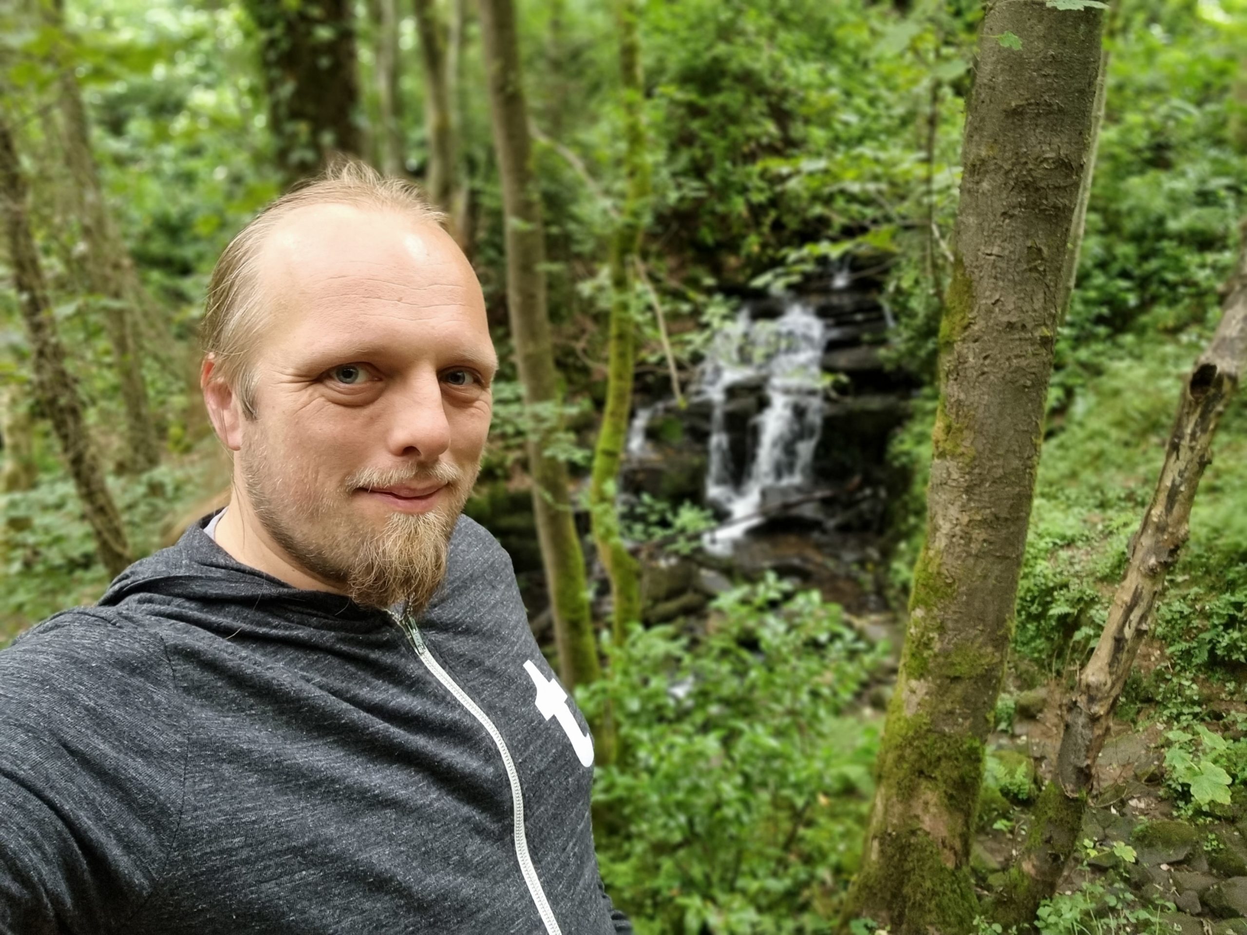
Naturally, I took one of our “chill out and rest” days as an excuse for a nice long hike and a geocaching expedition to the Sydnope Valley.
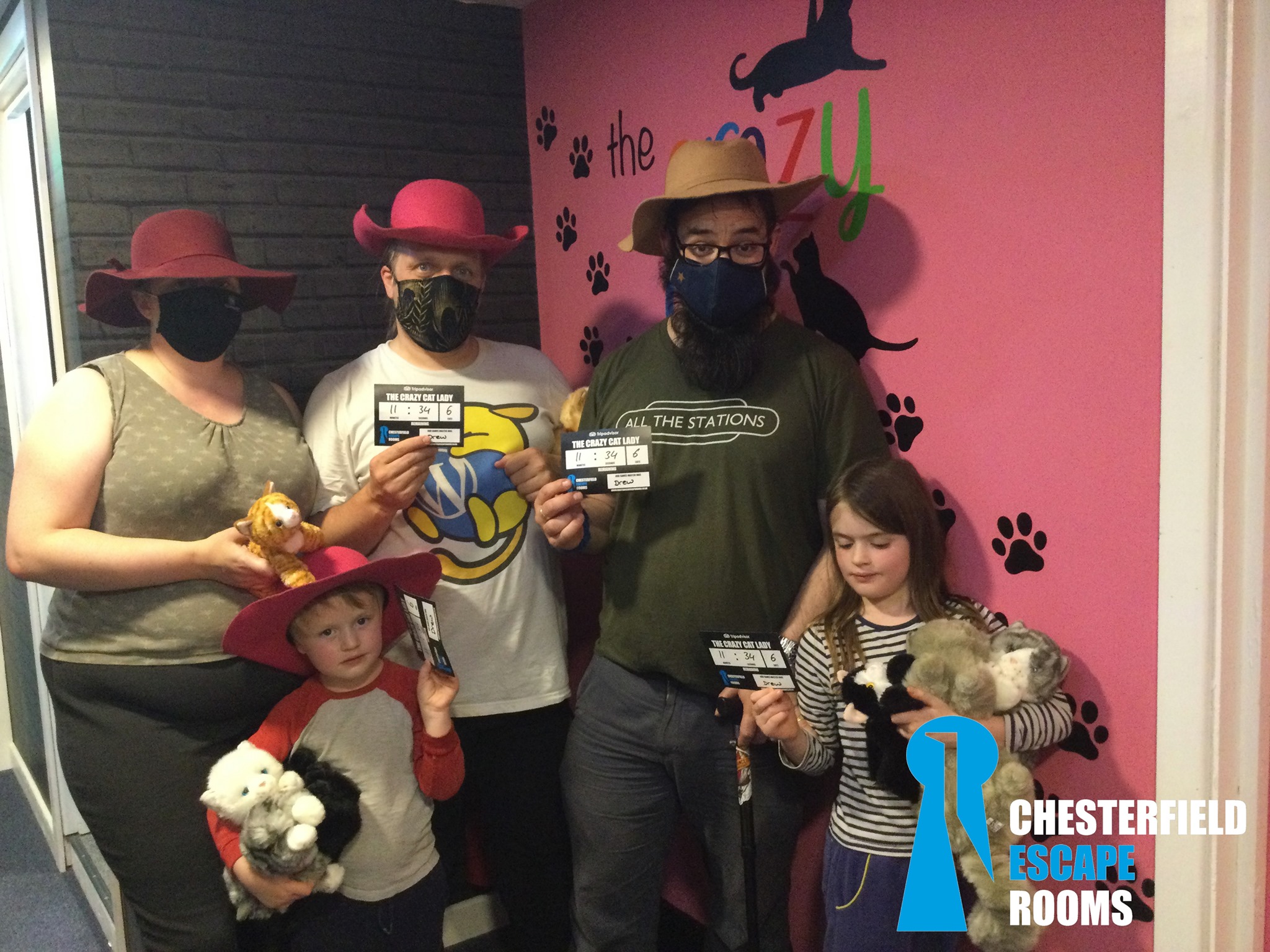
We also tried an local escape room and it was spectacularly well-designed (and amazingly family-friendly).
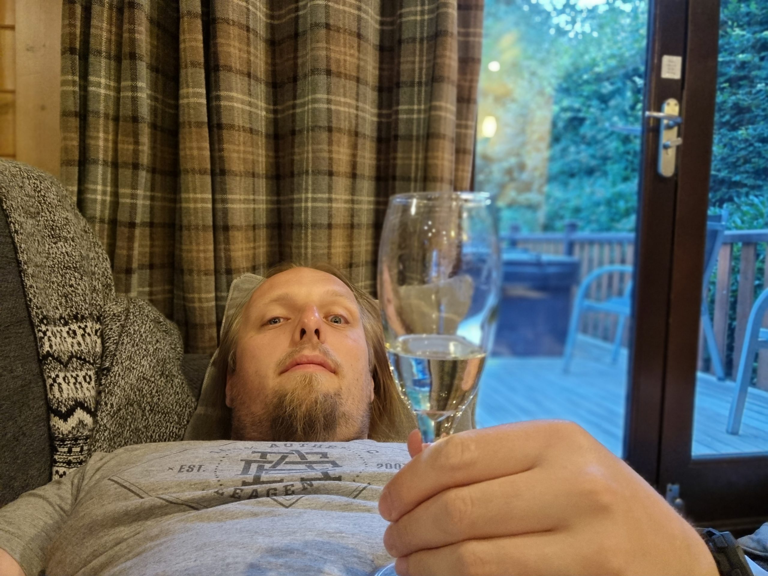
Oh, and there might have been a modicum of drinking, both in and out of the hot tub.
3. Preston
Kicking off the second week of our holiday, we crossed the Pennines to Preston to hang out with my family (with the exception of JTA,
who had work to do back in Oxfordshire that he needed to return to):
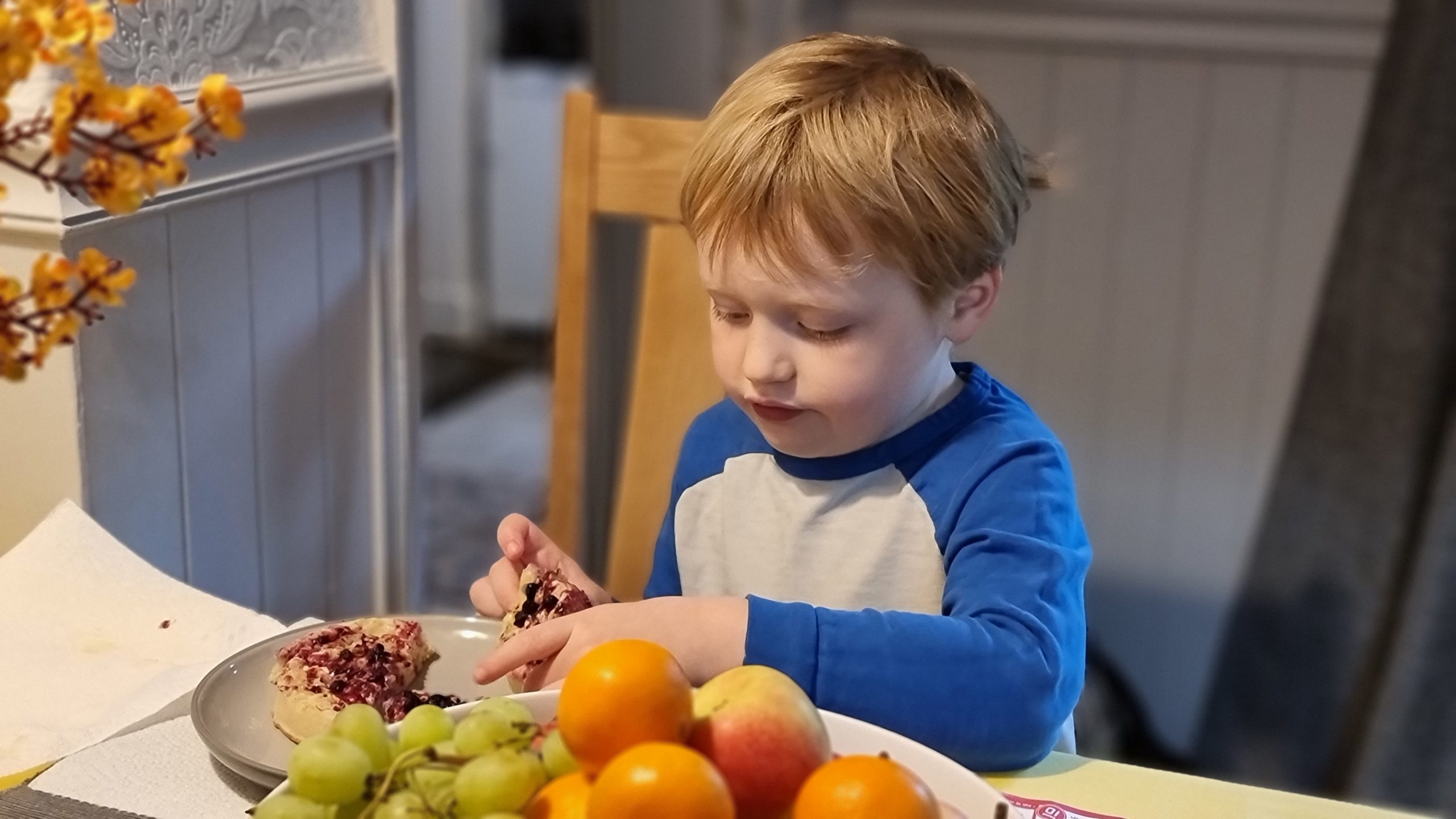
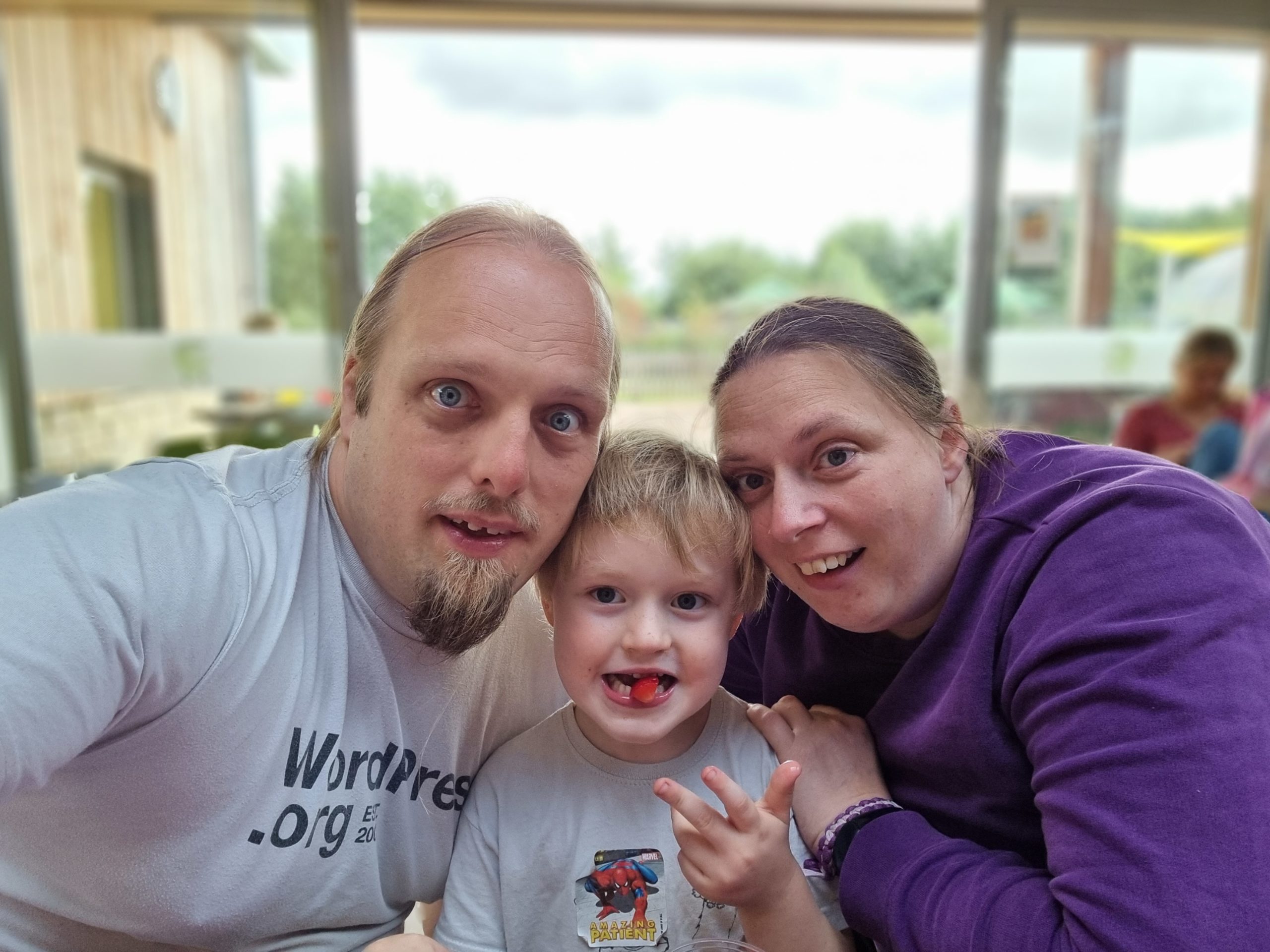
Our resident 4-year-old foodie claims that no crumpets are as good as Nanna Doreen’s “giant” ones.
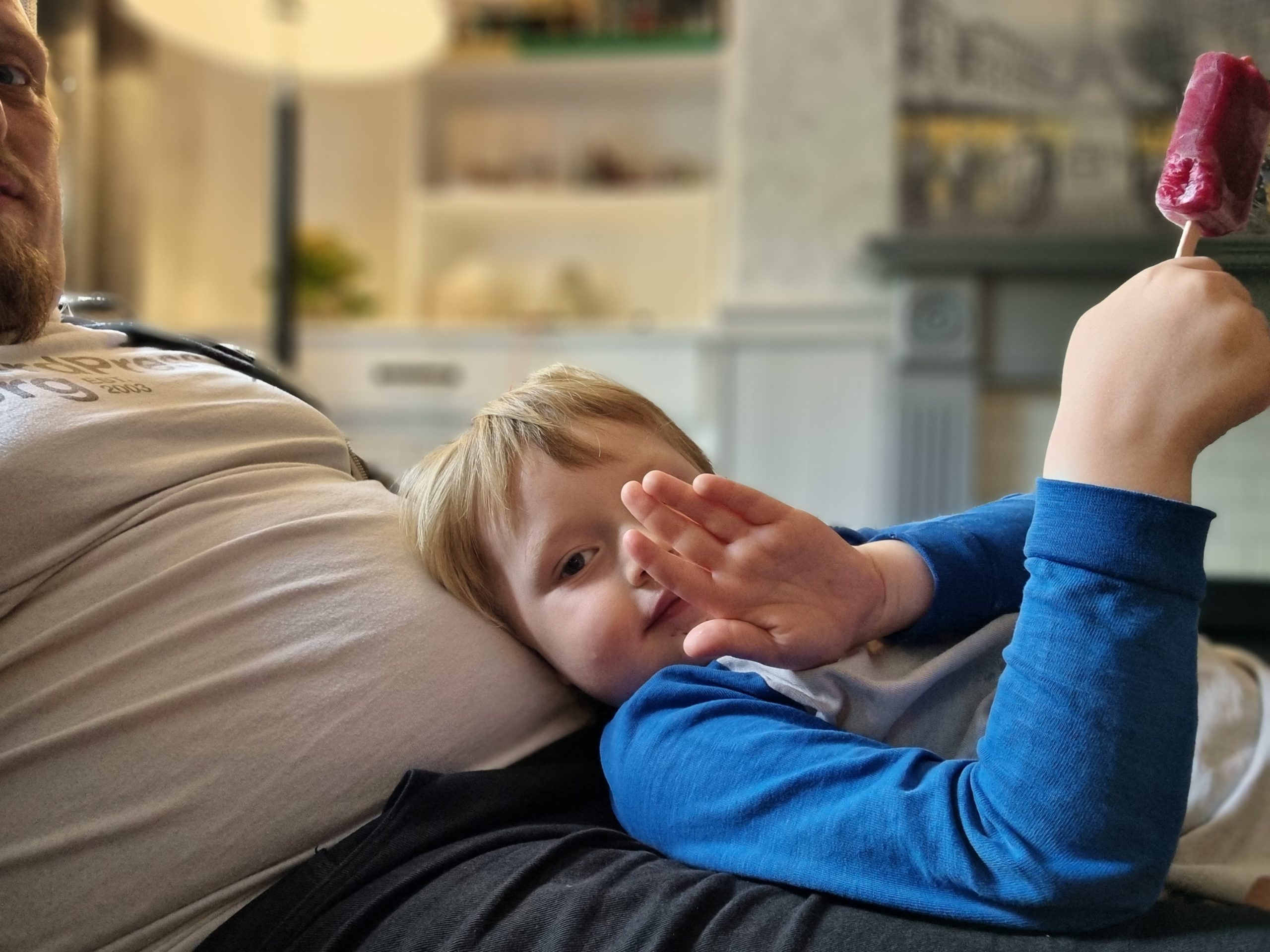
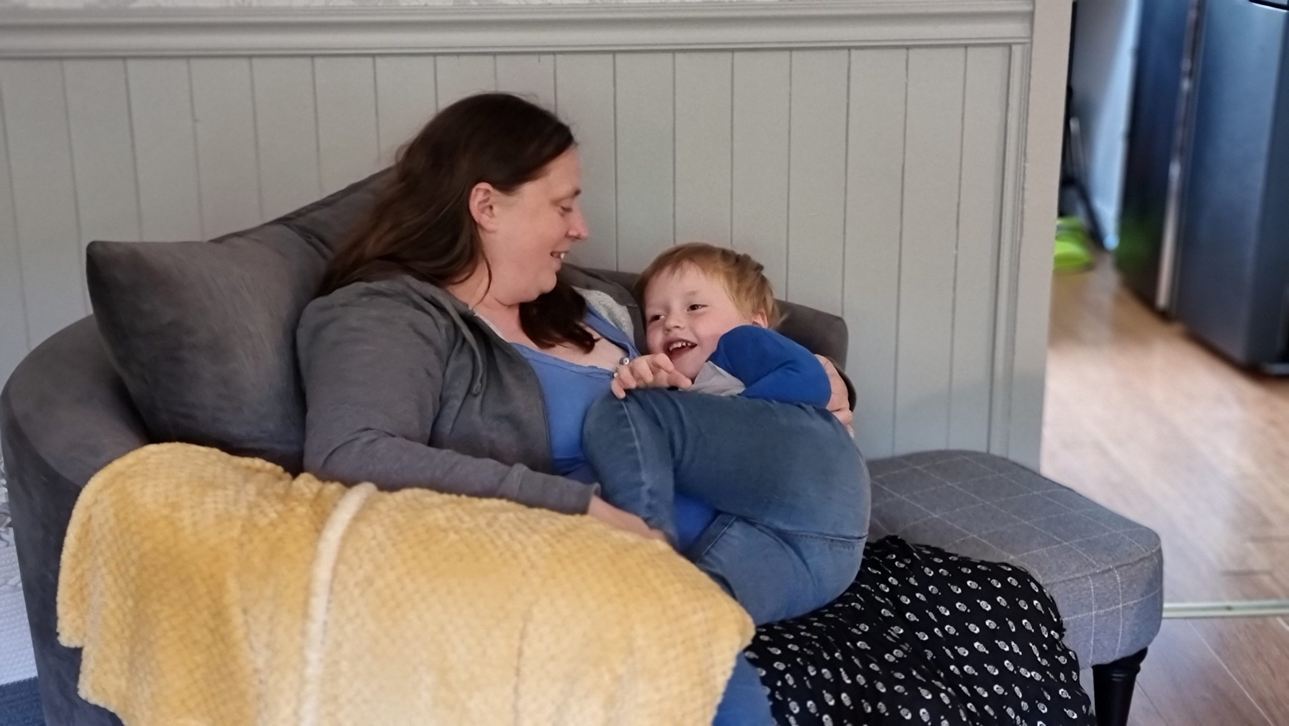
Sometimes you just need an ice lolly and a bean bag to chill on. If you can’t find a bean bag, use Dan.
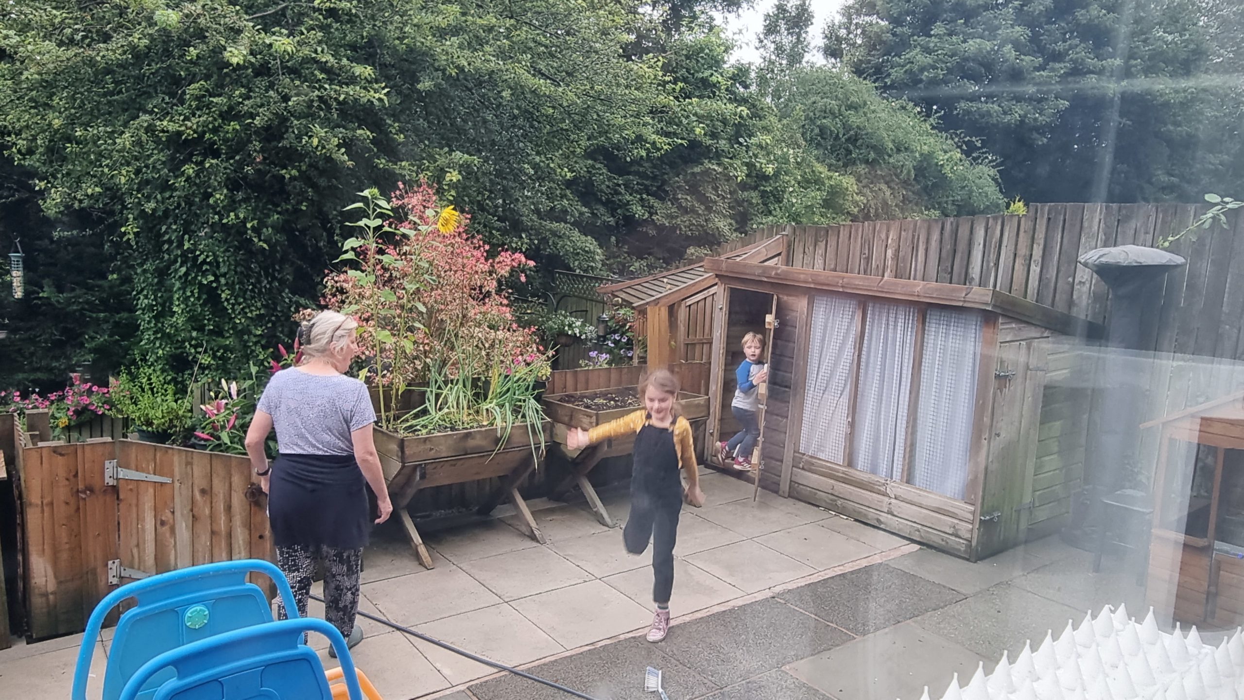
Now that she doesn’t have any cats, dogs, or chickens, my mother’s old sheds have been converted into playhouses.
Who needs a tickle? You need a tickle.
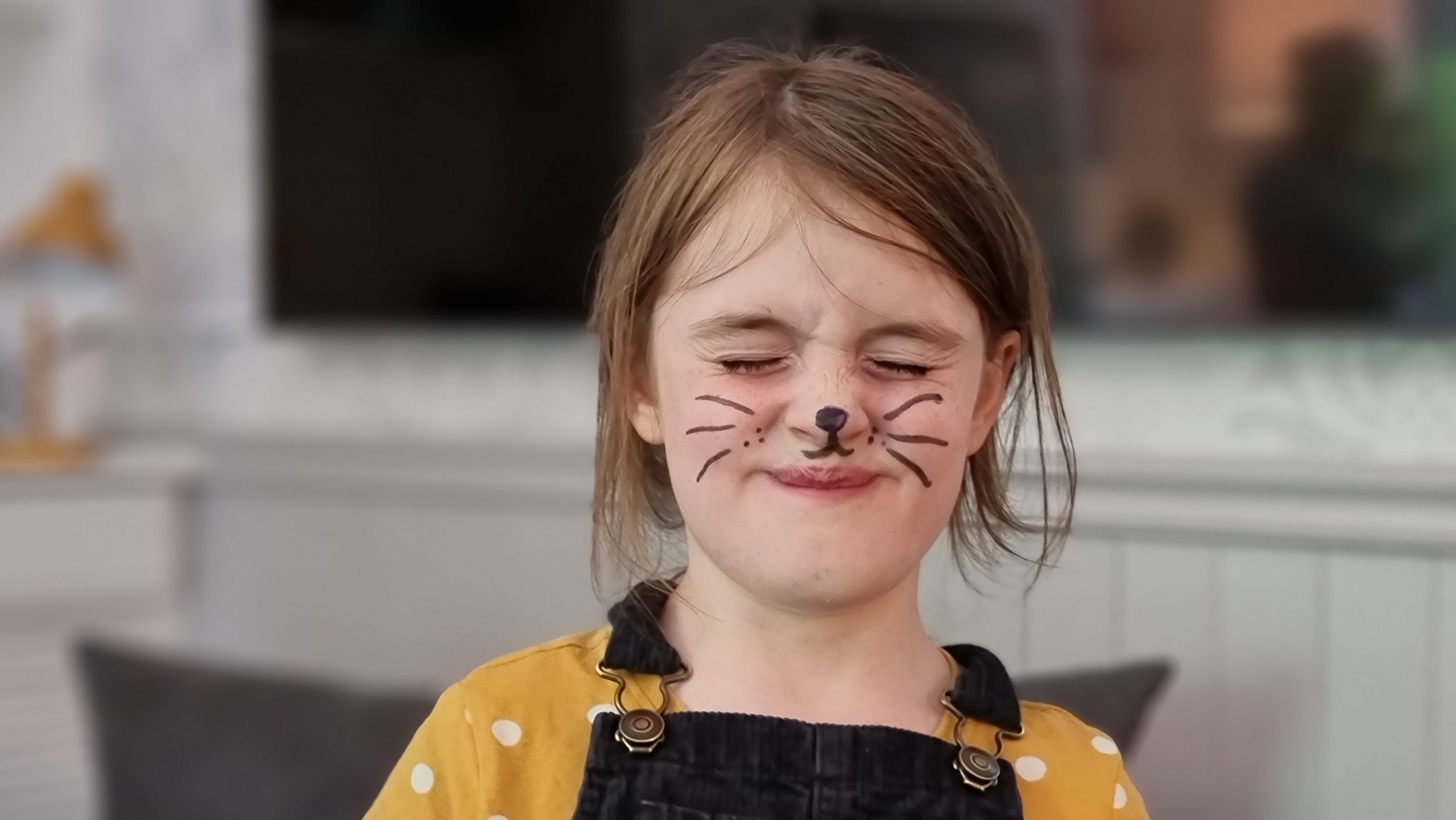
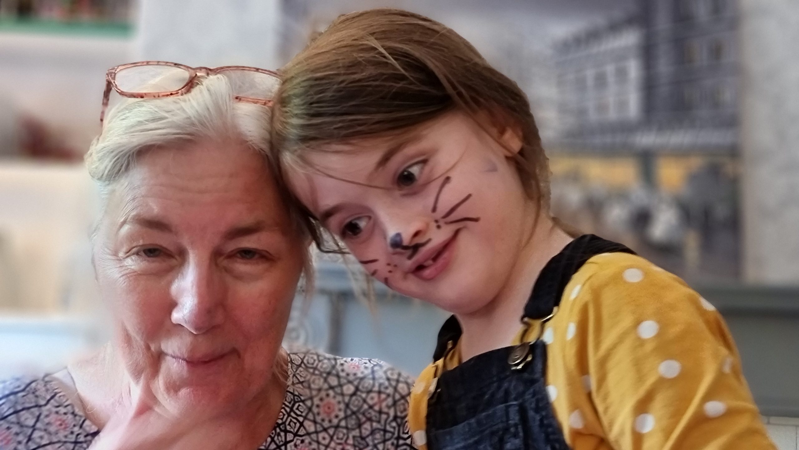
Fortunately, the felt-tips she found were of the washable variety.
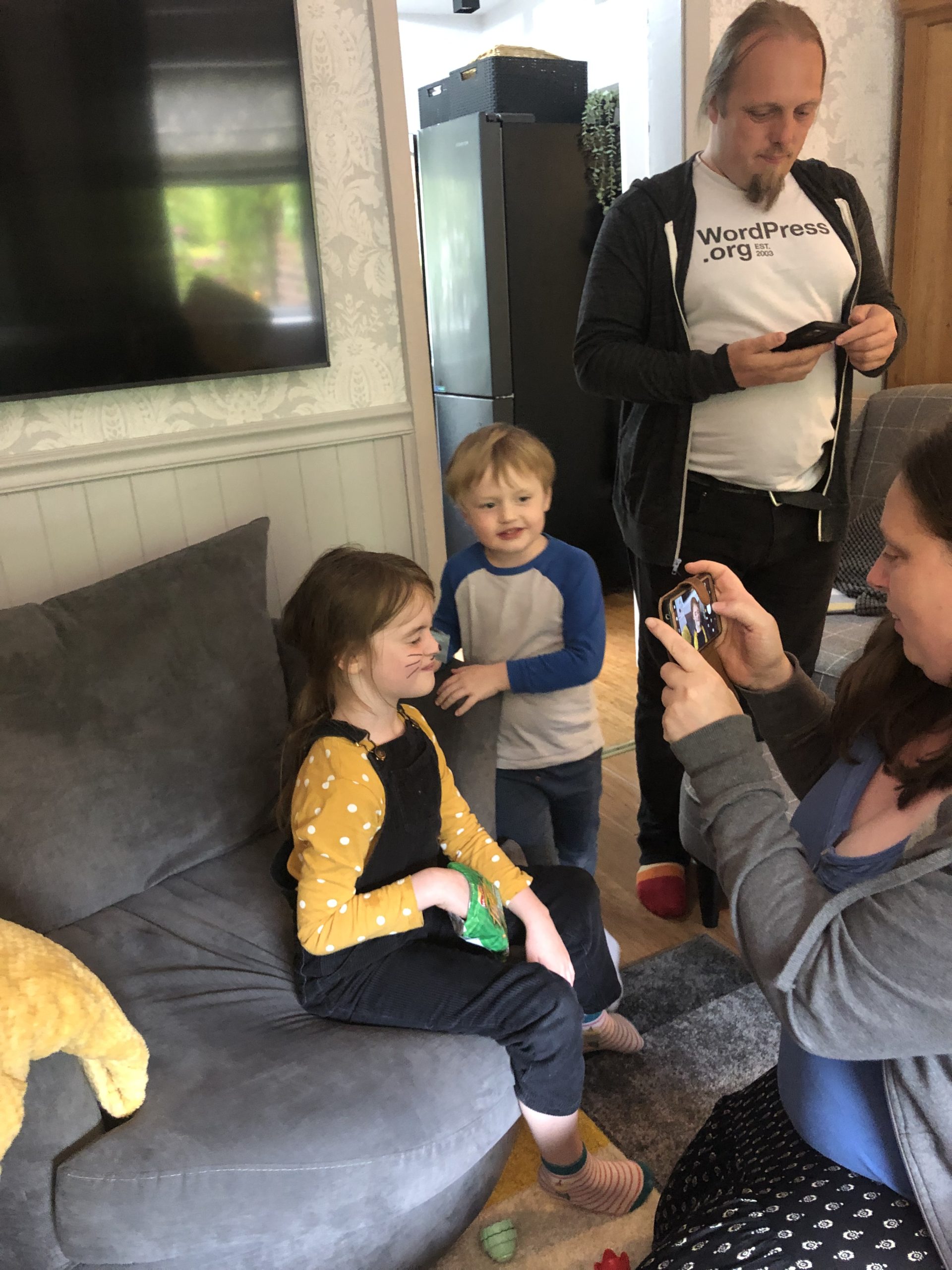
Why yes, this is a picture of me taking a picture of Ruth taking a picture.
I’m not sure what this pose was MEANT to achieve…
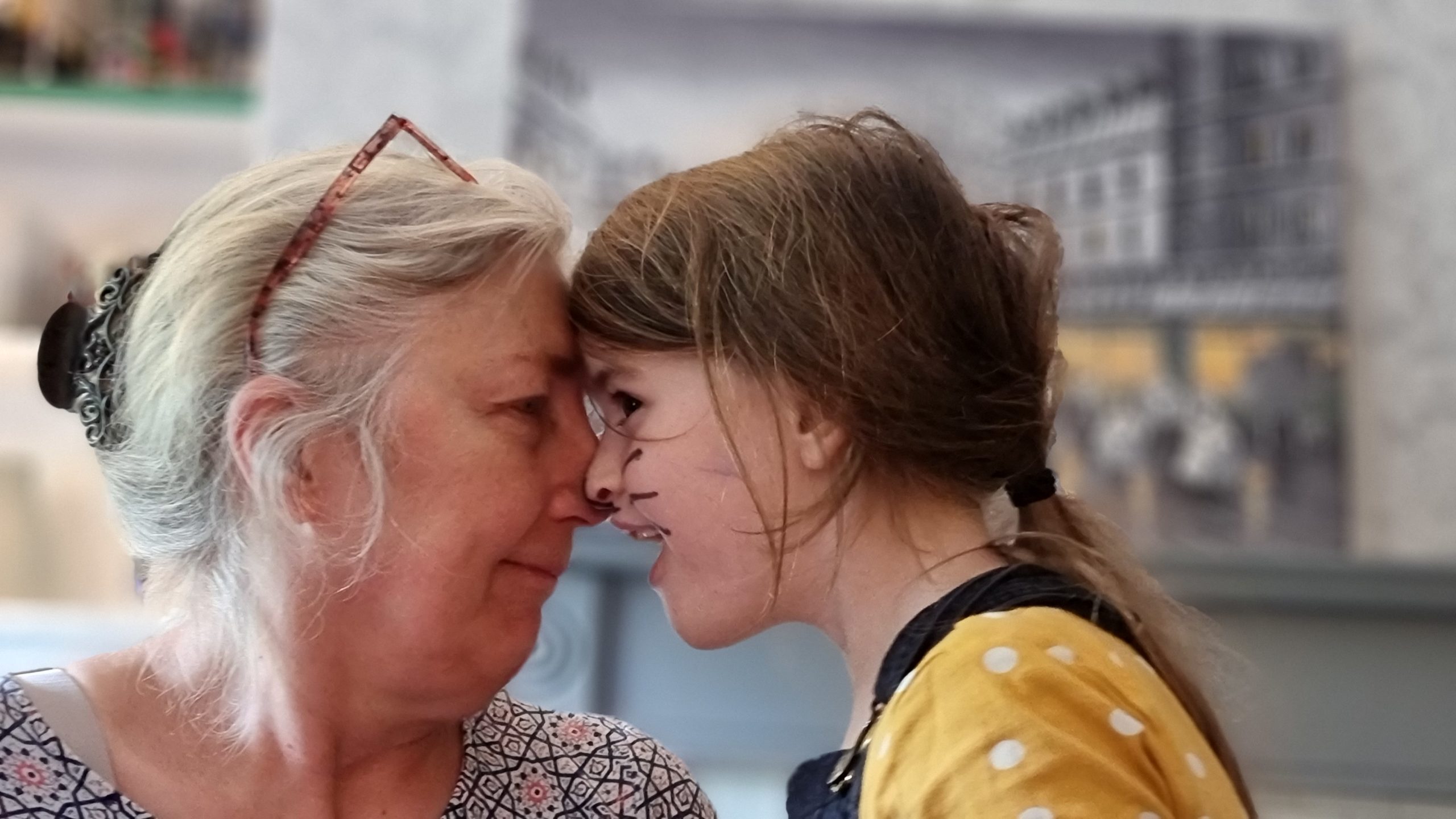
…but what it ACTUALLY achieved was my mother getting ink splotches on her face.
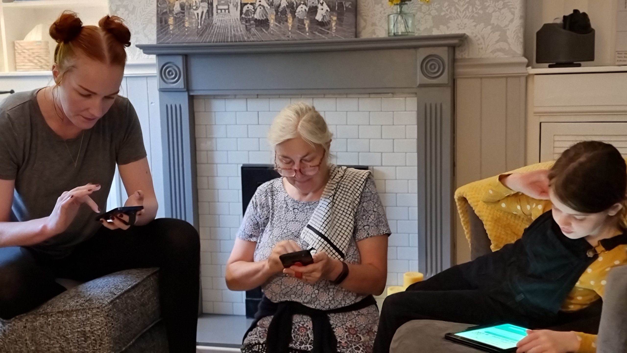
Syncing everything up in anticipation of a Pokewalk.
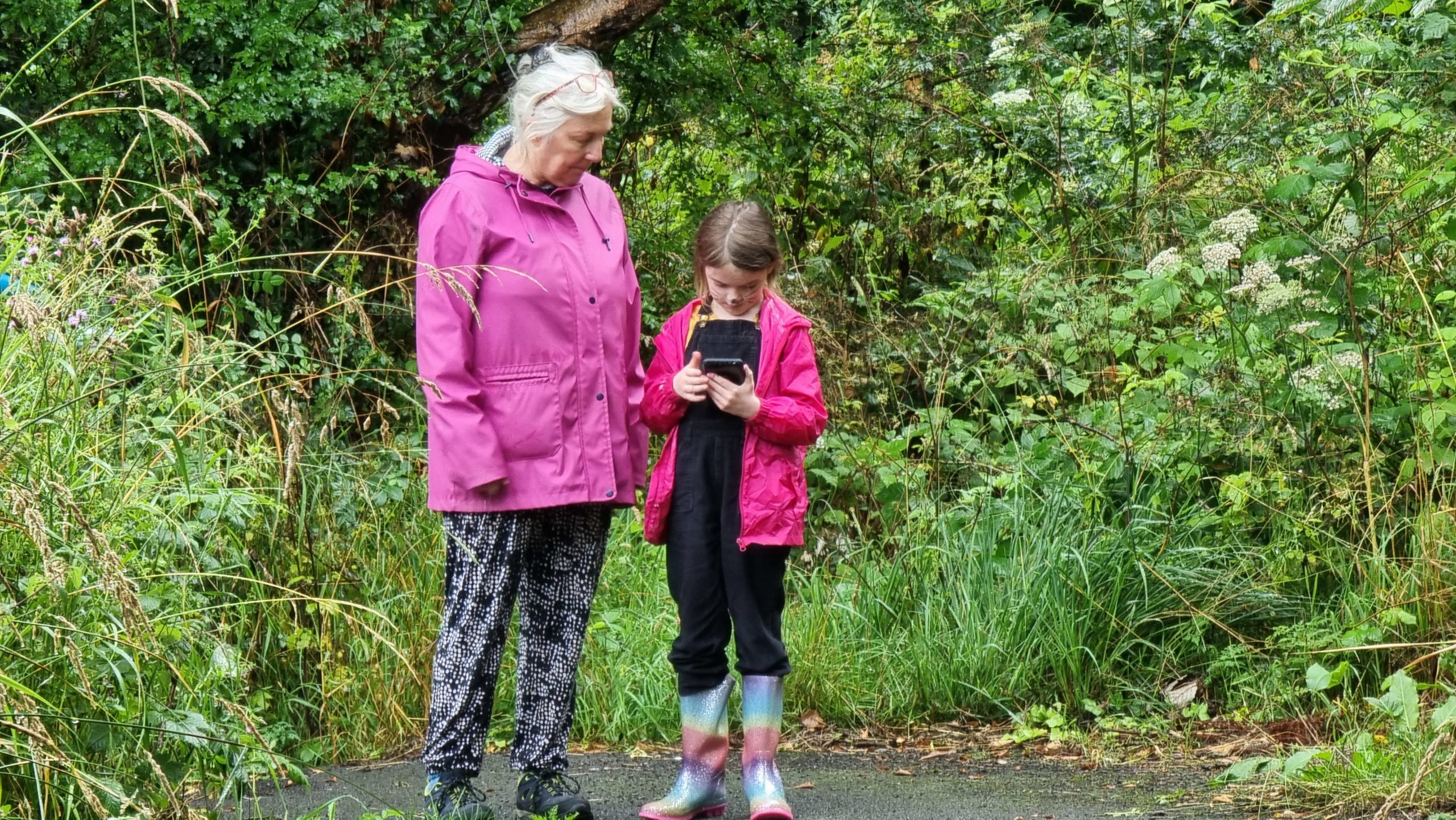
“Which way to the Pokestop?” (I’m guessing. I don’t understand Pokemon Go.)
“How far to the Pokegym?” (I still don’t know anything about Pokemon Go. Don’t flame me.)
I feel like every time I visit my family I acquire a larger number of photos that I can’t begin to explain.
Like this one. Is this some kind of game? What are the rules? Who’s winning? I just don’t know.
Is this the same game? Are the children all on the same team (against Becky) or not? I have so many unanswered questions.
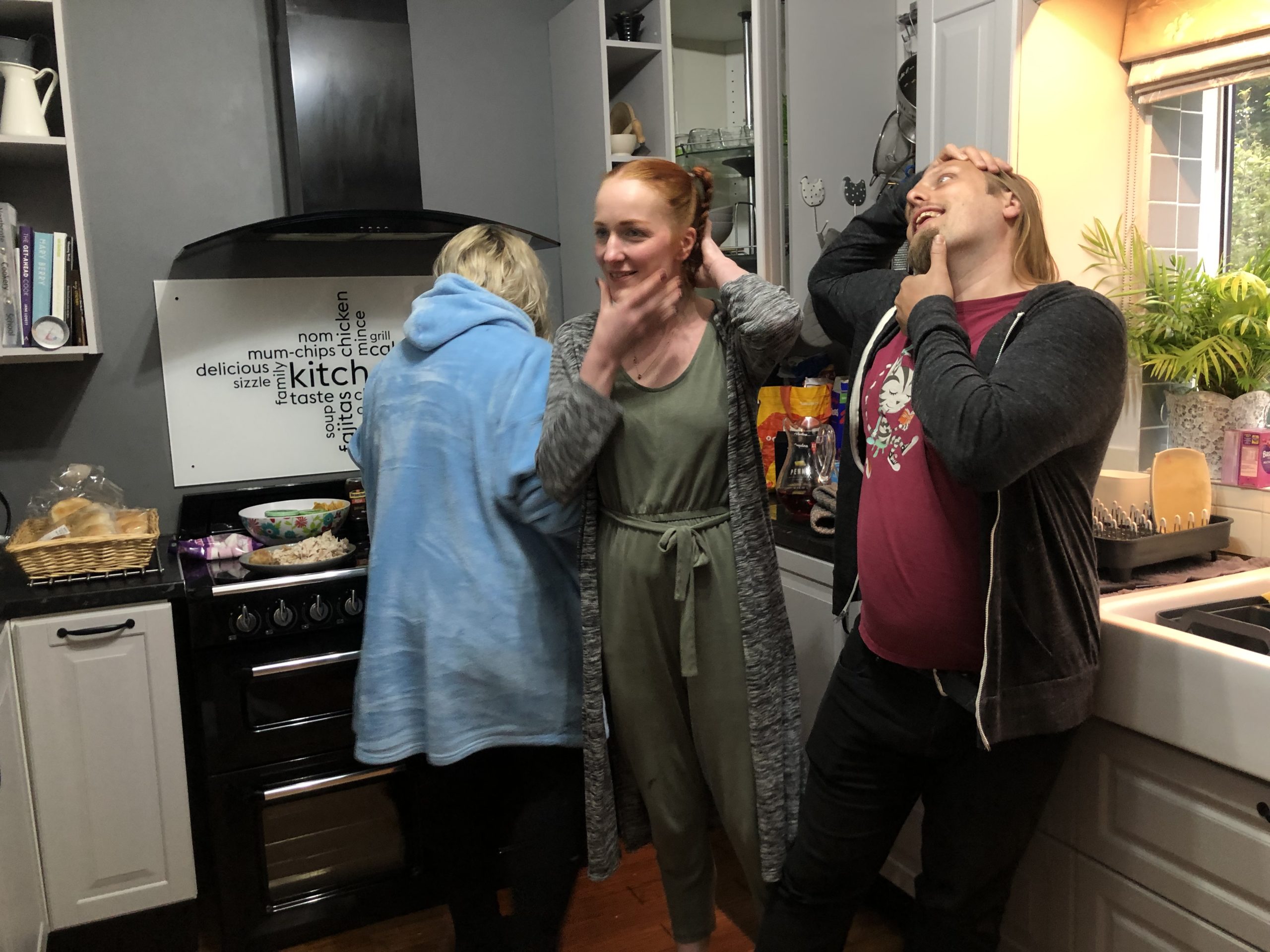
And this one. What are Sarah and I doing? Simultaneously cracking our necks, perhaps?
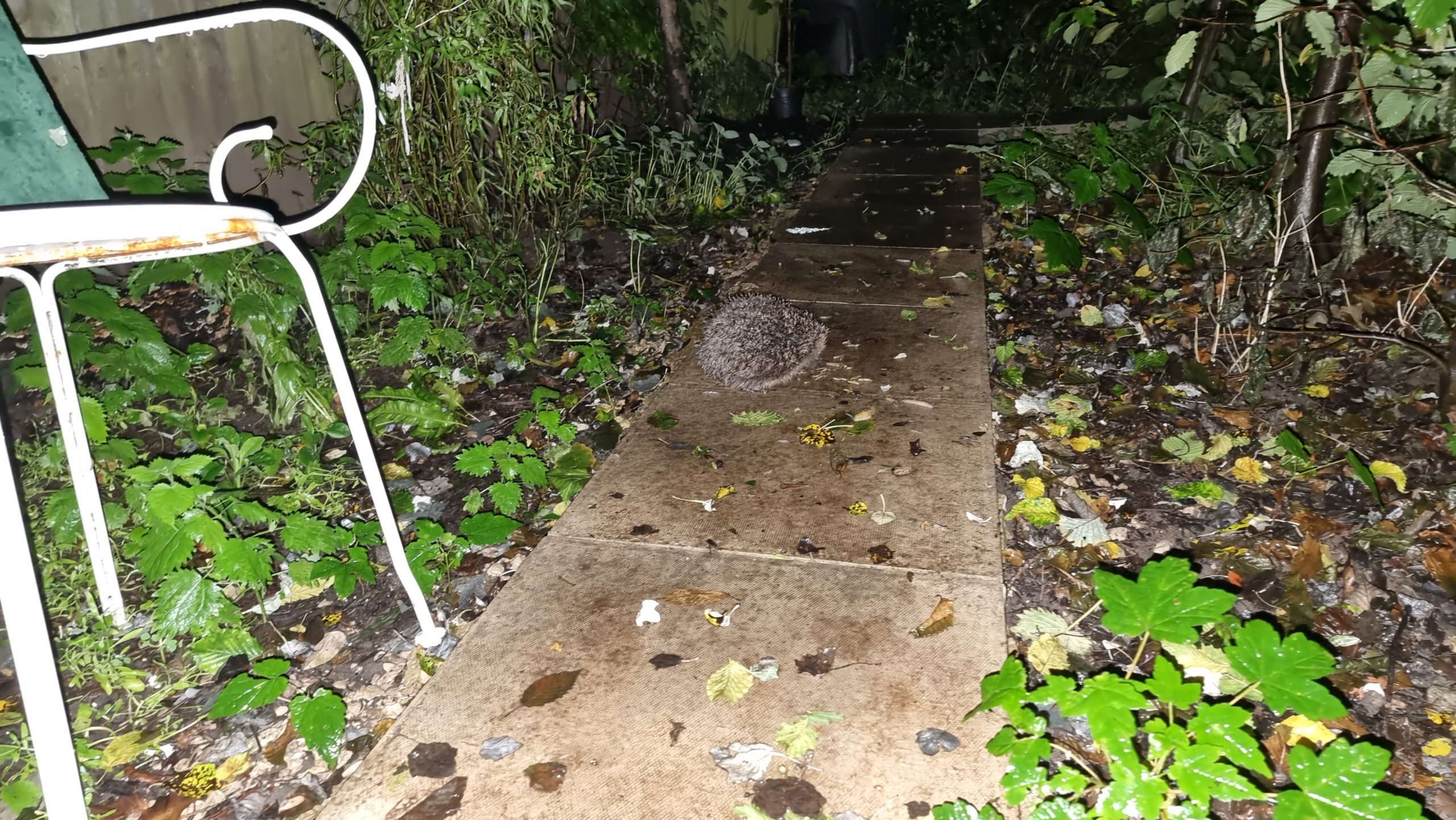
The kids put food out for the hedgehogs and attracted a big one.
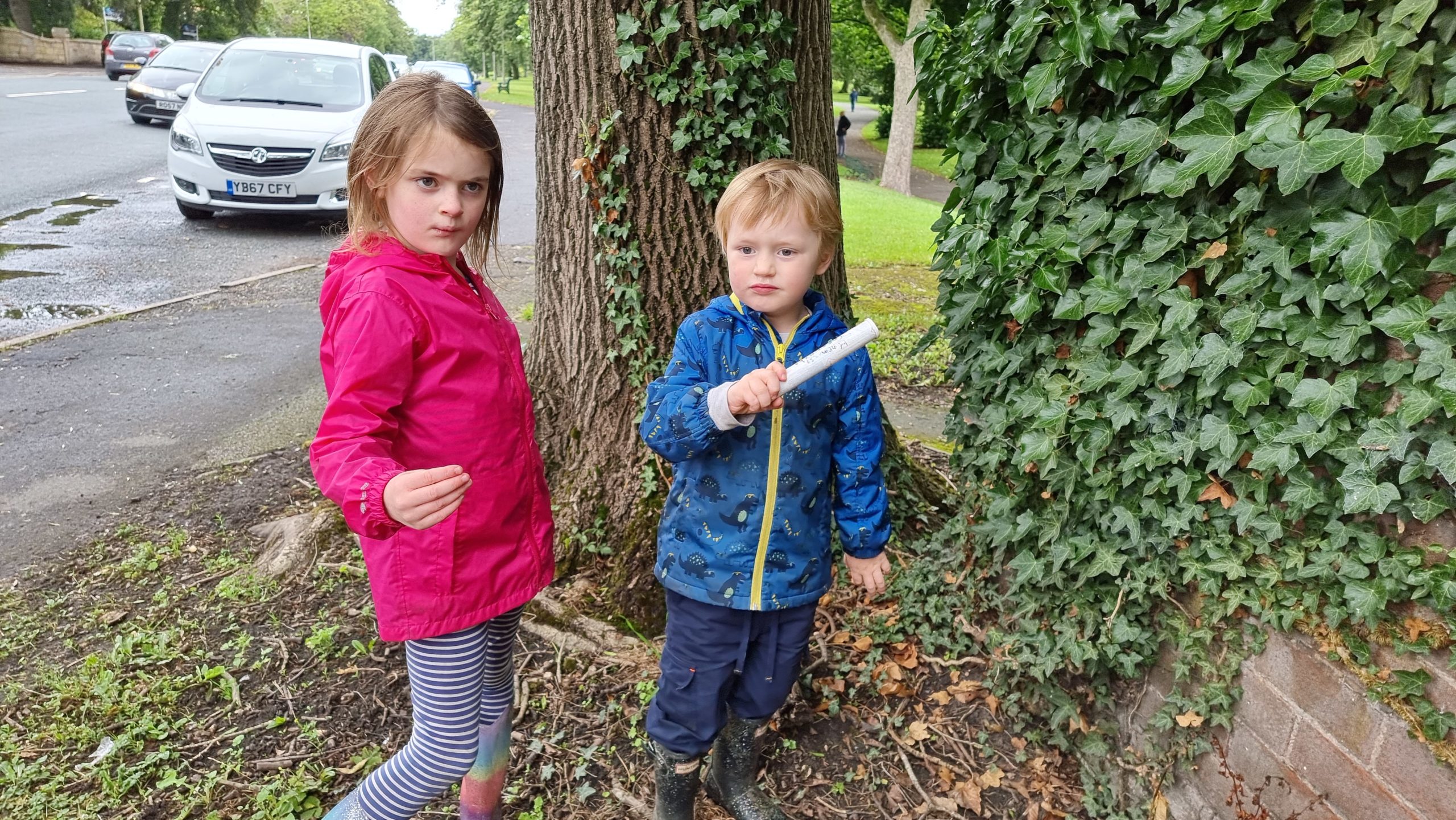
Now THIS kind of GPS-based sport I can get behind. Lead on to the cache!
The kids were less impressed by this geocache than I was. And I wasn’t THAT impressed.
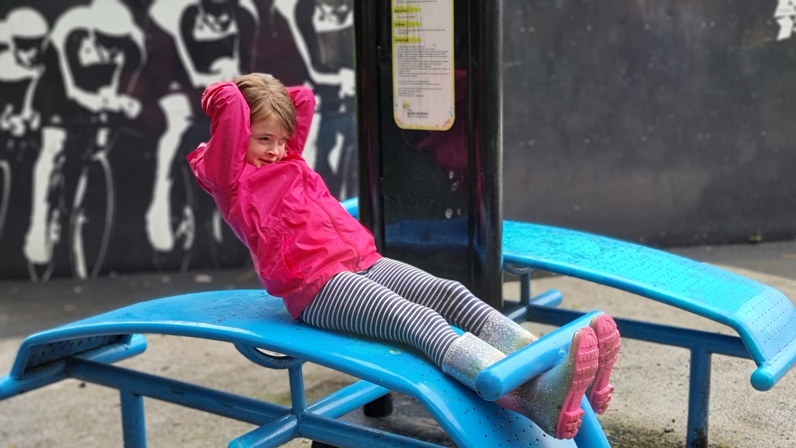
Not content with sprinting around the 400m track wearing her wellies, our 7-year-old then proceeded to dominate on the park gym.
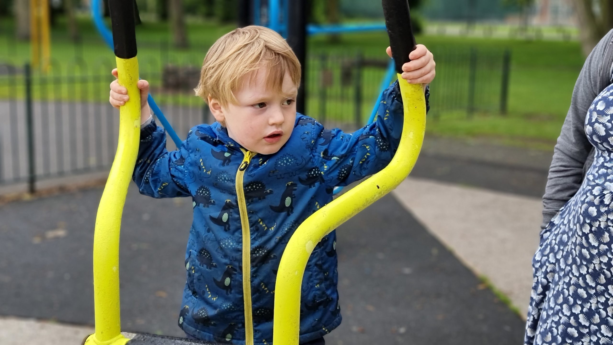
If you pedal one of these things hard enough, does it take off?
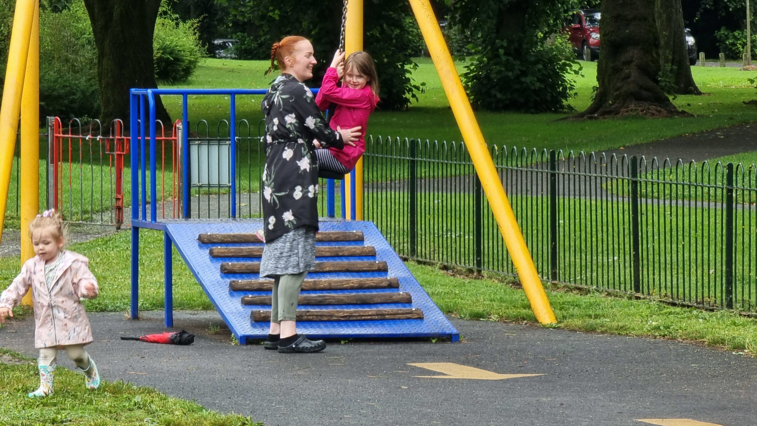
Wheeee!
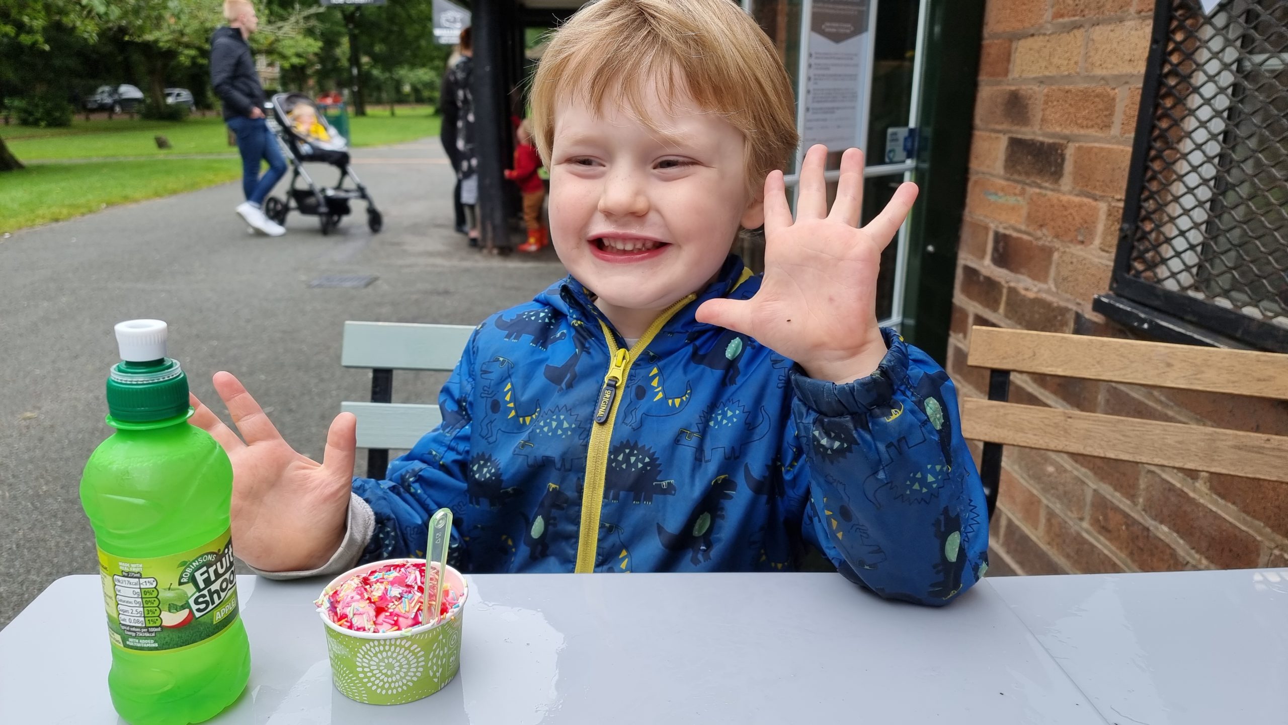
So. Many. Sprinkles.
How do they find so much energy?
We borrowed a dog from a family friend. If our 7-year-old had her way, we wouldn’t have given it back.
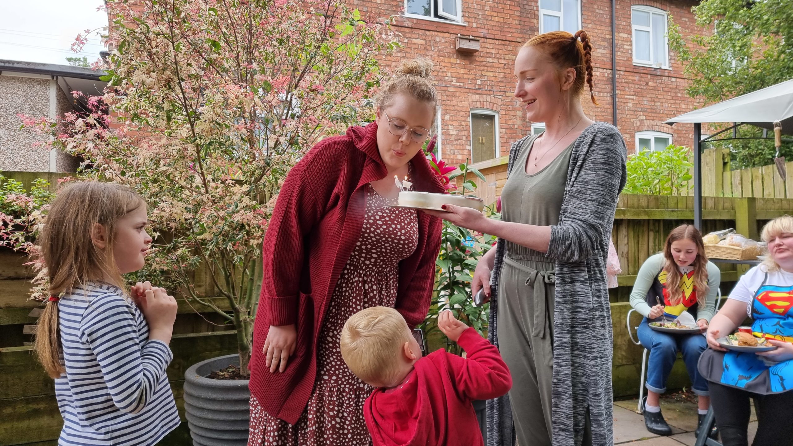
It was Jemma’s birthday, apparently, so we marked it at a family barbecue.
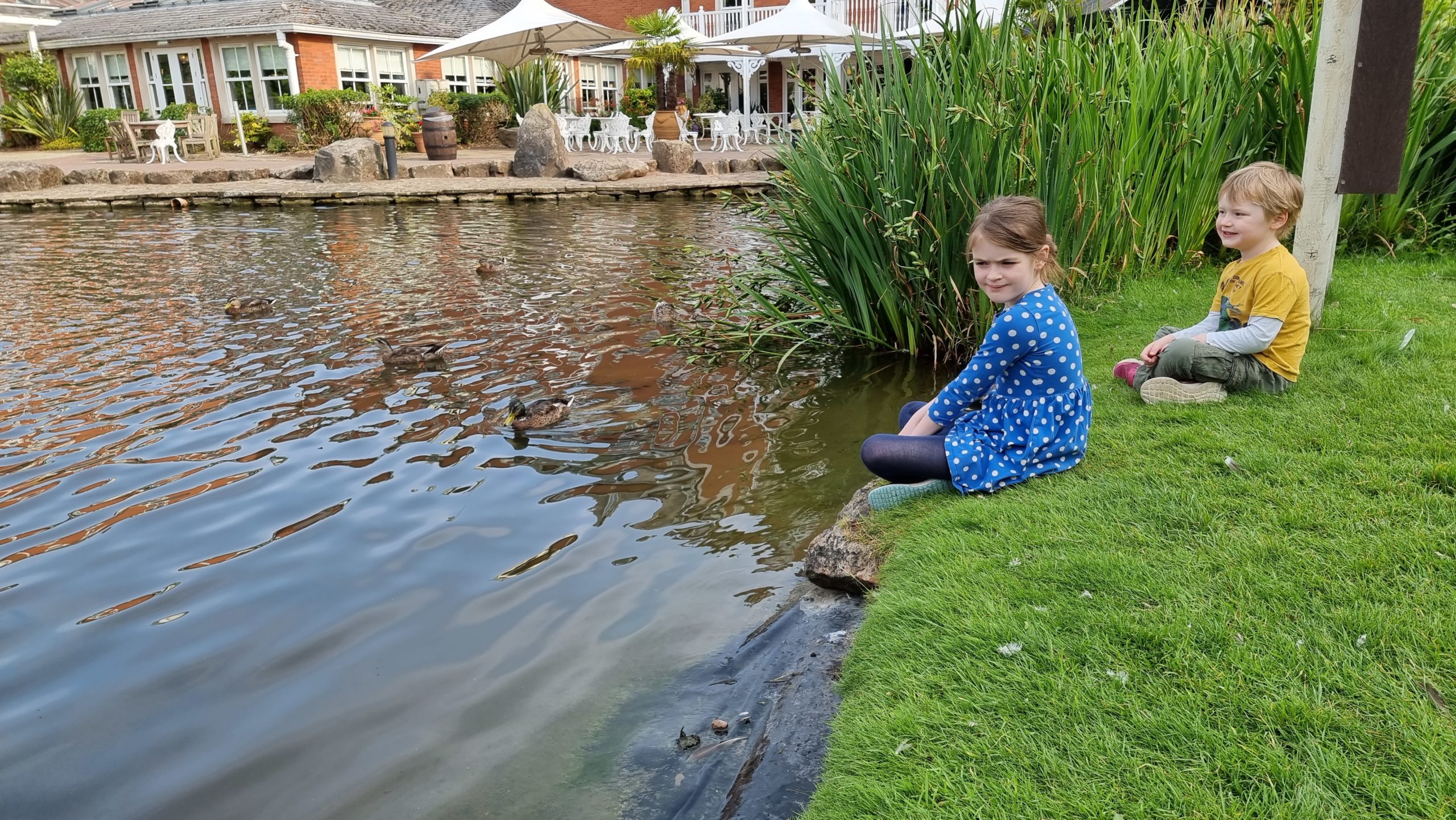
Nearby Brockholes nature reserve provided a wonderful outing.
This one’s the less-accident-prone of our children. Otherwise he’d probably already be in the water, somehow.
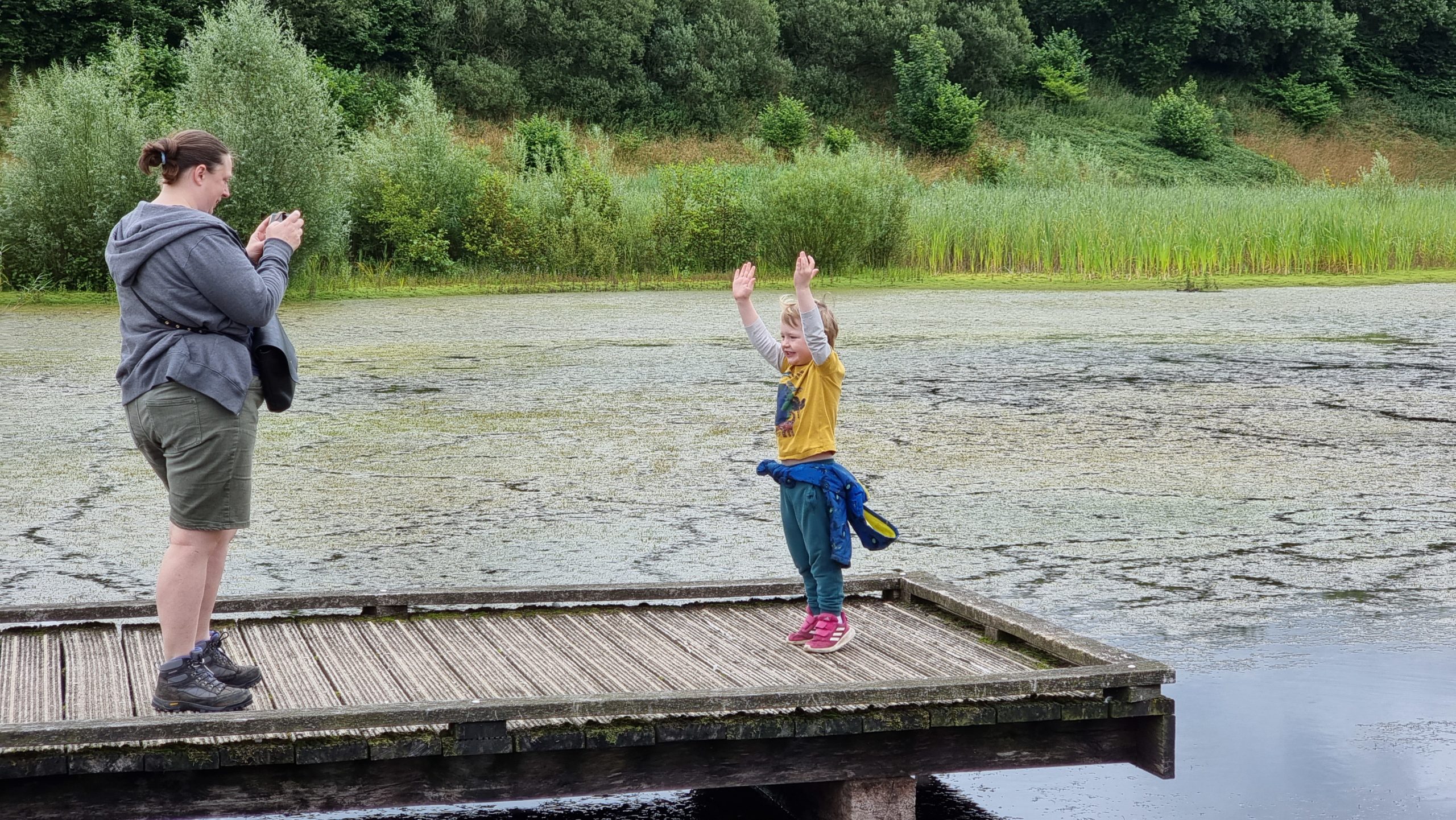
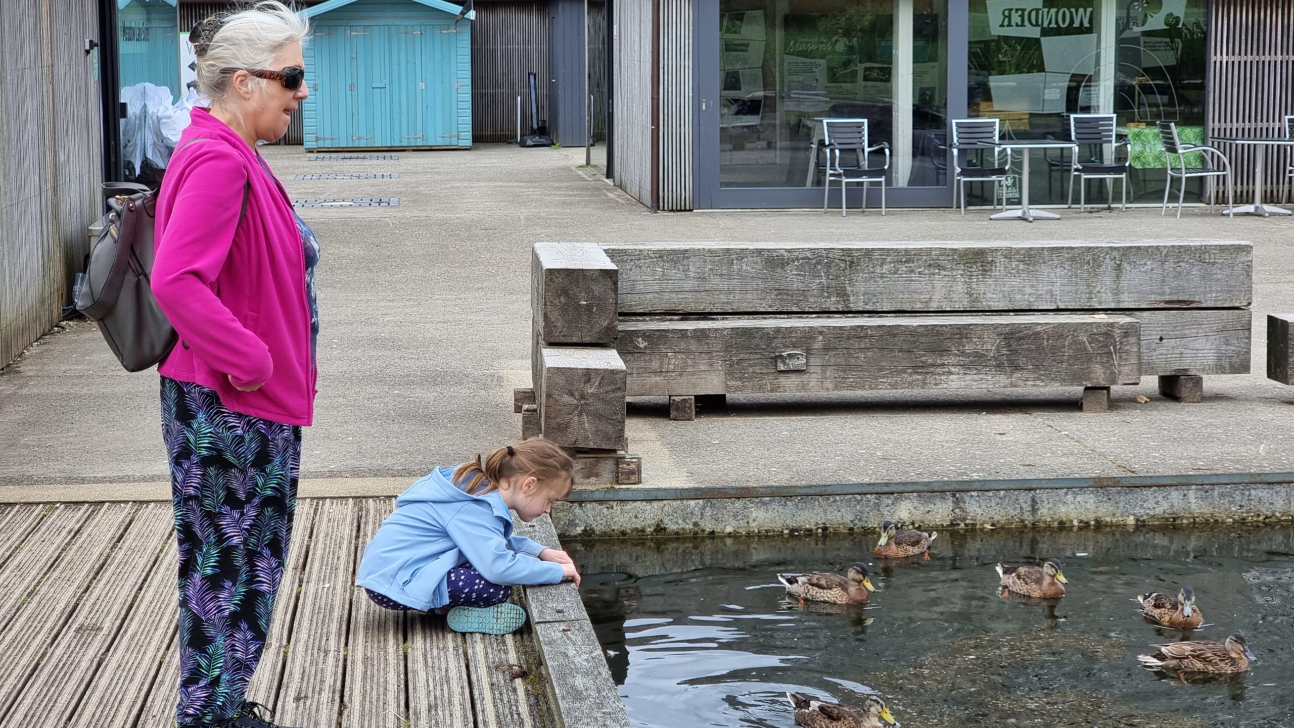
Our 7-year-old likes to befriend ducks wherever she goes.
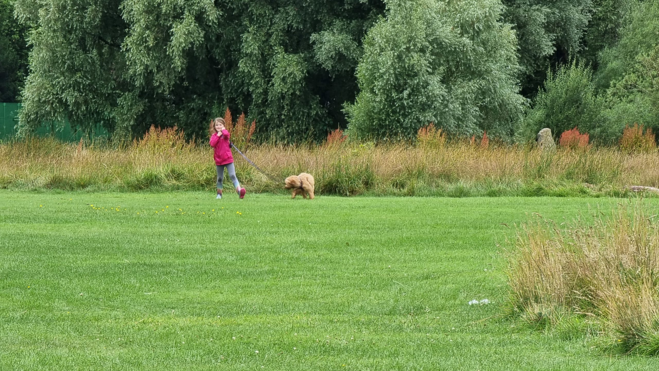
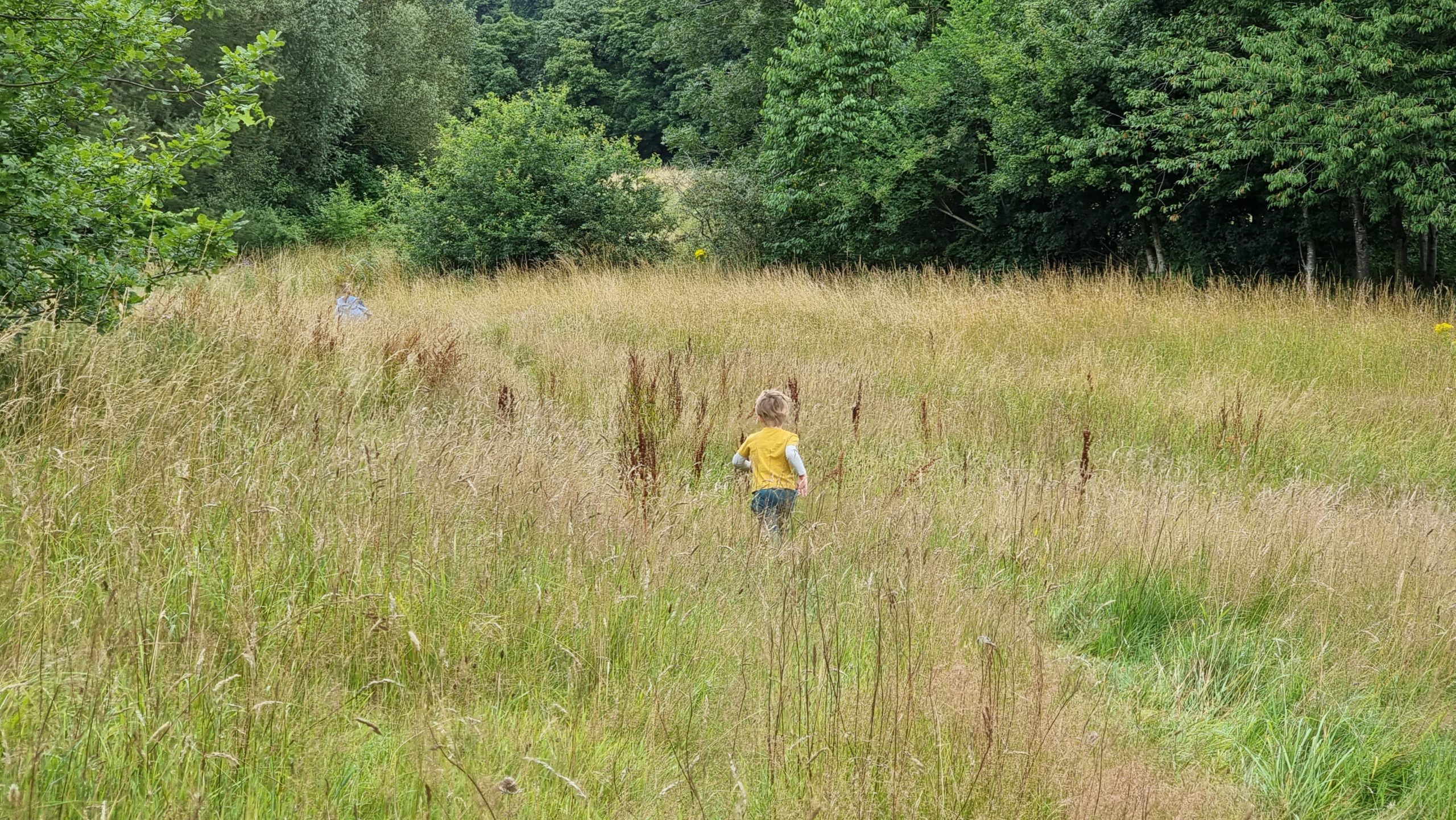
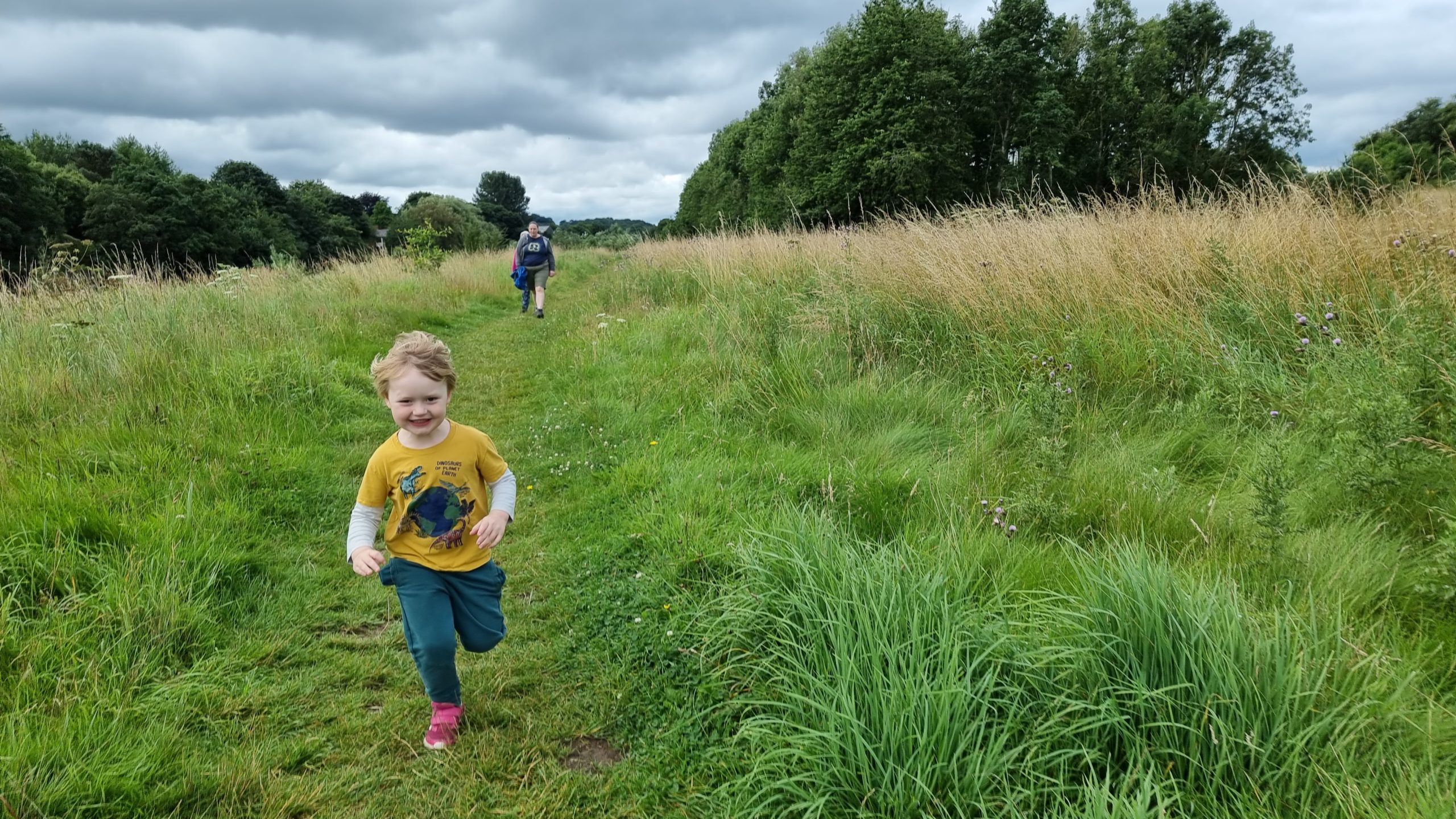
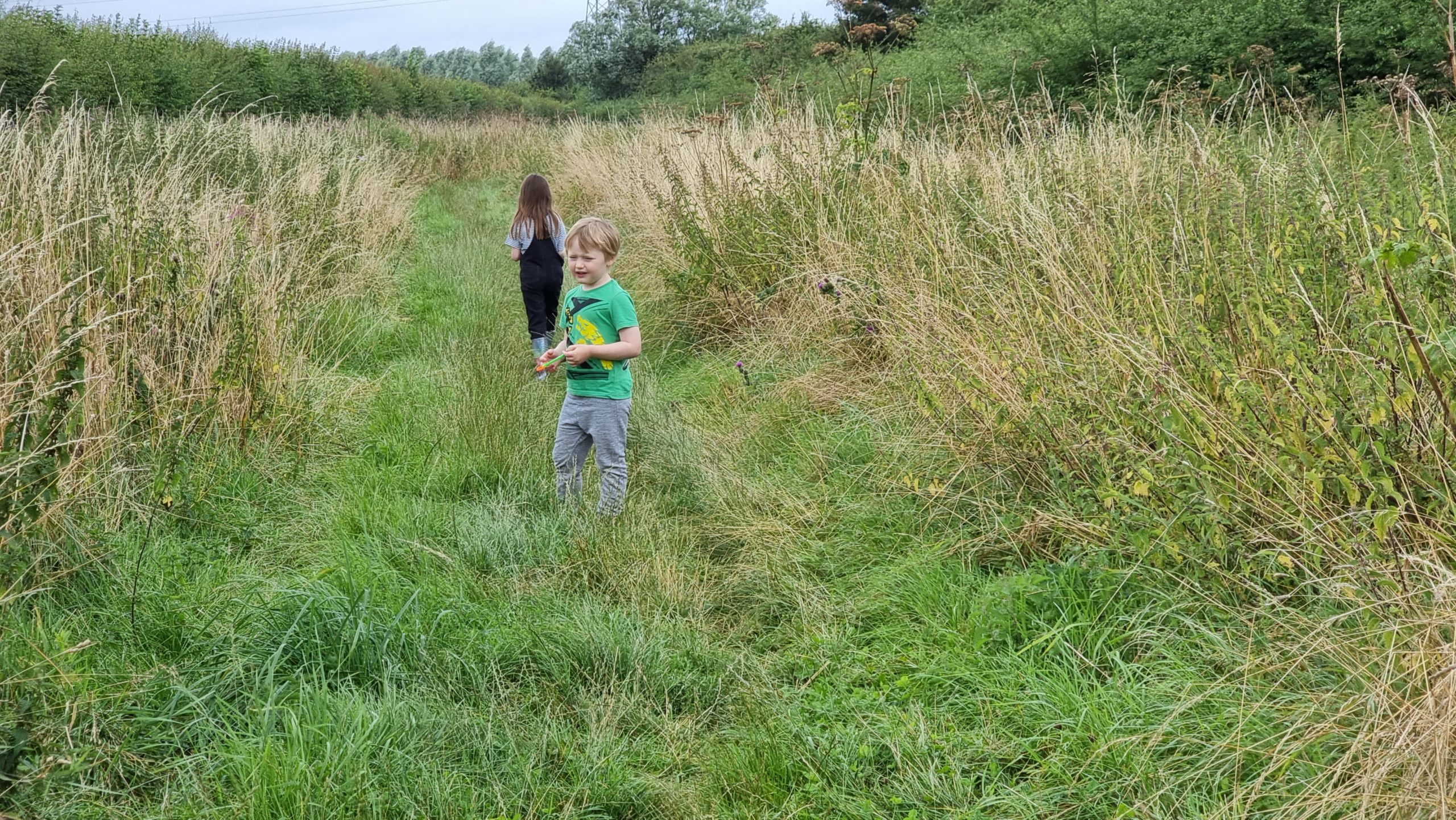
Again with the boundless energy as the kids disappear into one of Brockholes’ meadows.
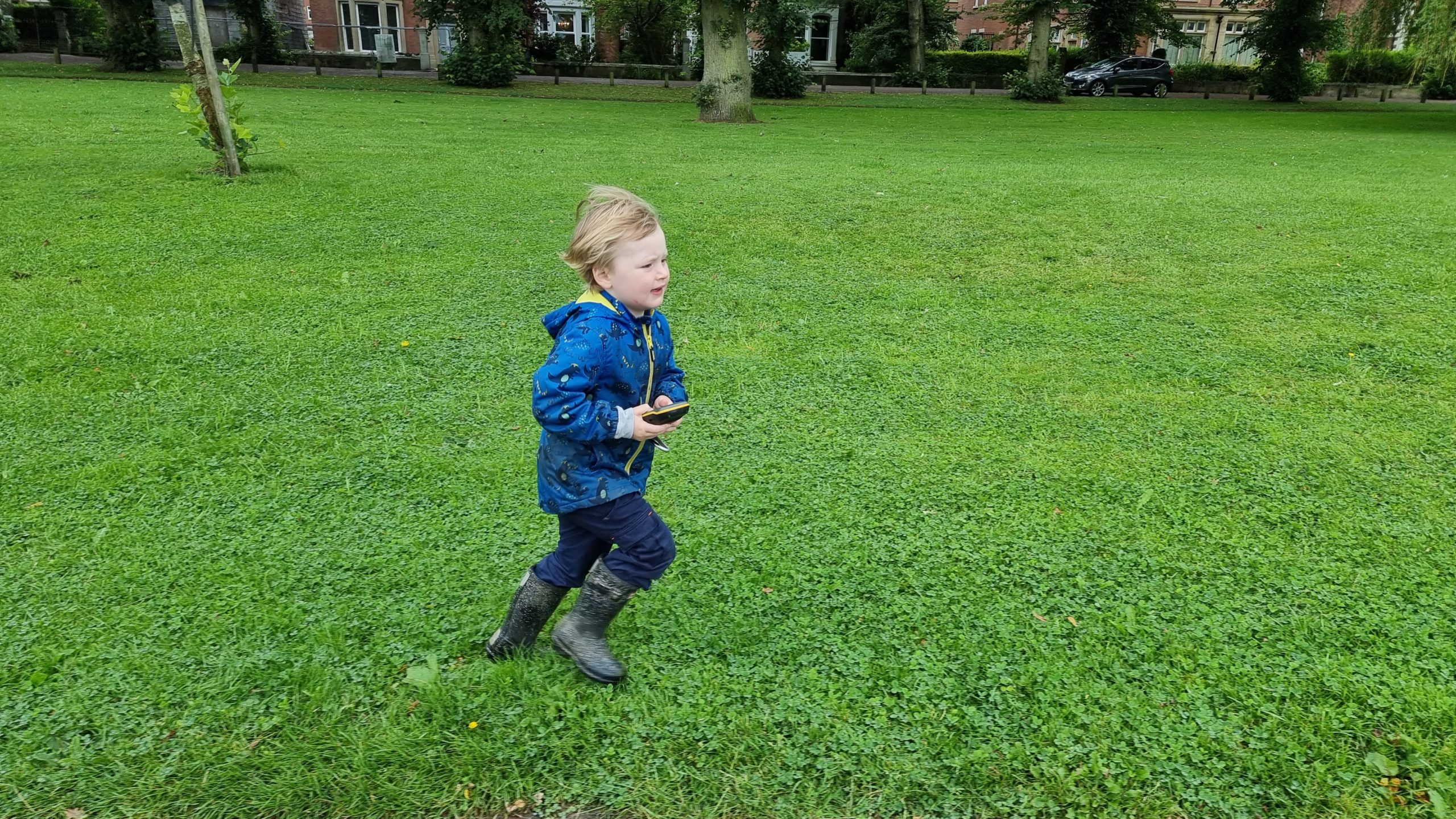
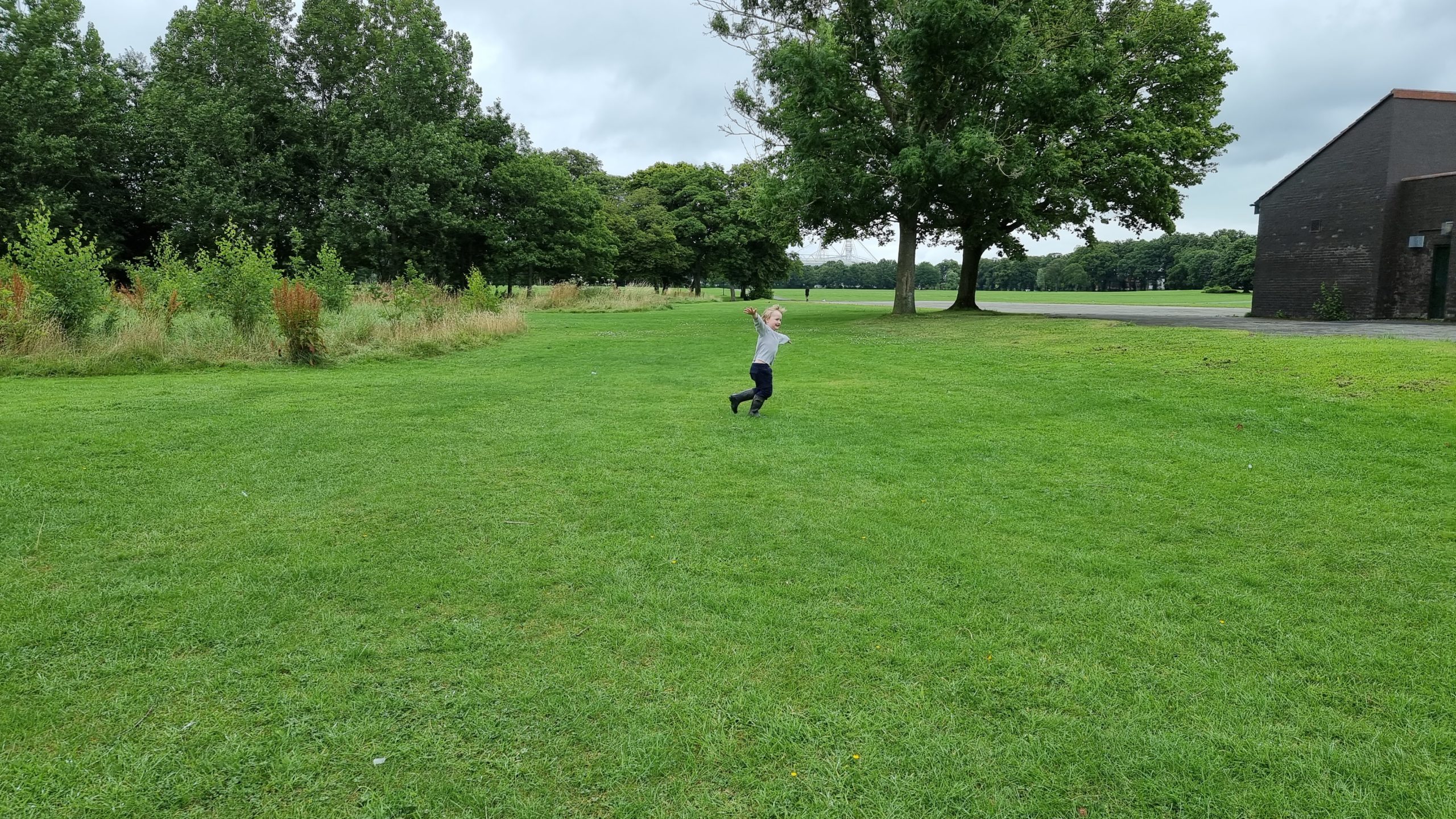
That boy loves a big open space to run in, for sure.
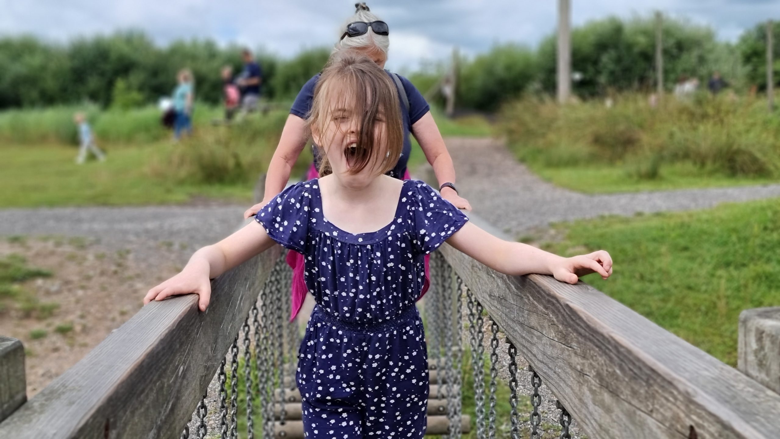
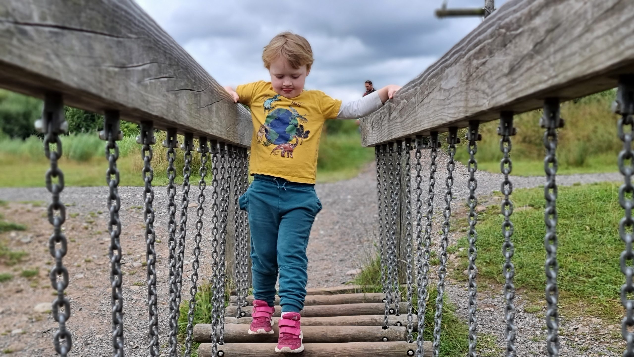
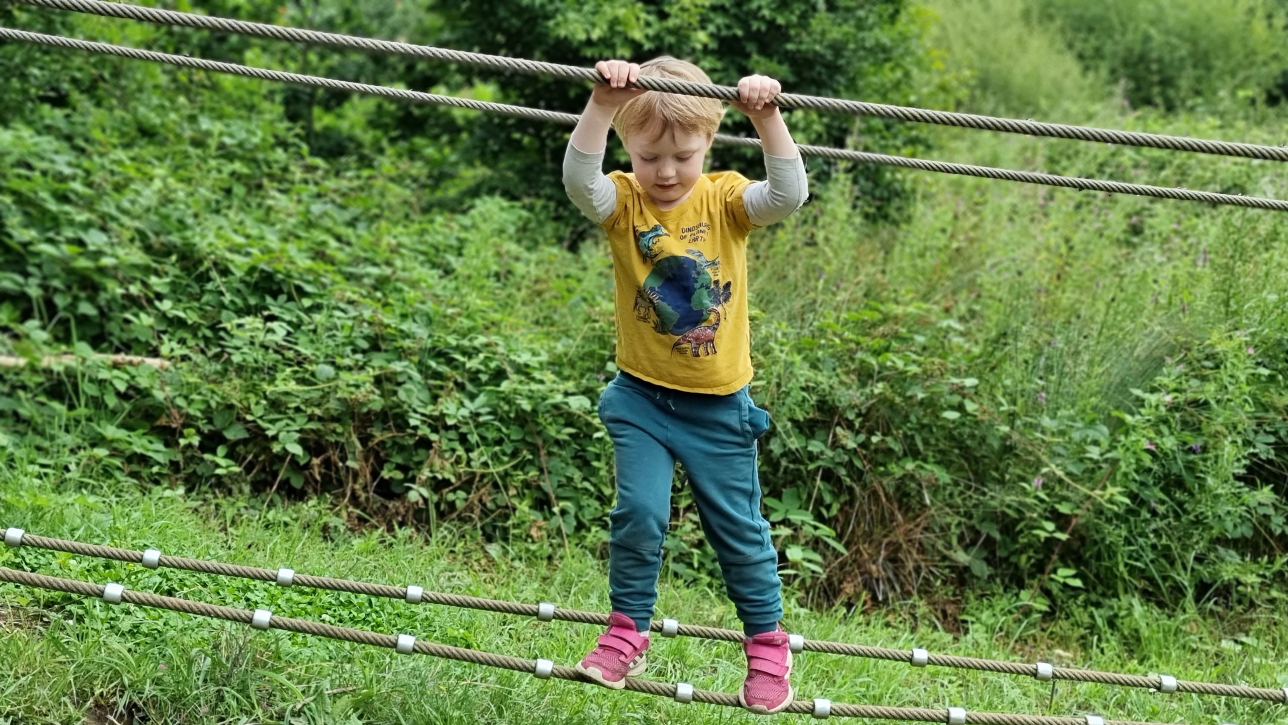
Brockholes’ adventure play area is pretty exciting too.
But crossing a wobbly bridge isn’t the easiest thing when you’re little.
Luckily our children are both pretty fearless and adventurous and will give pretty much anything a go.
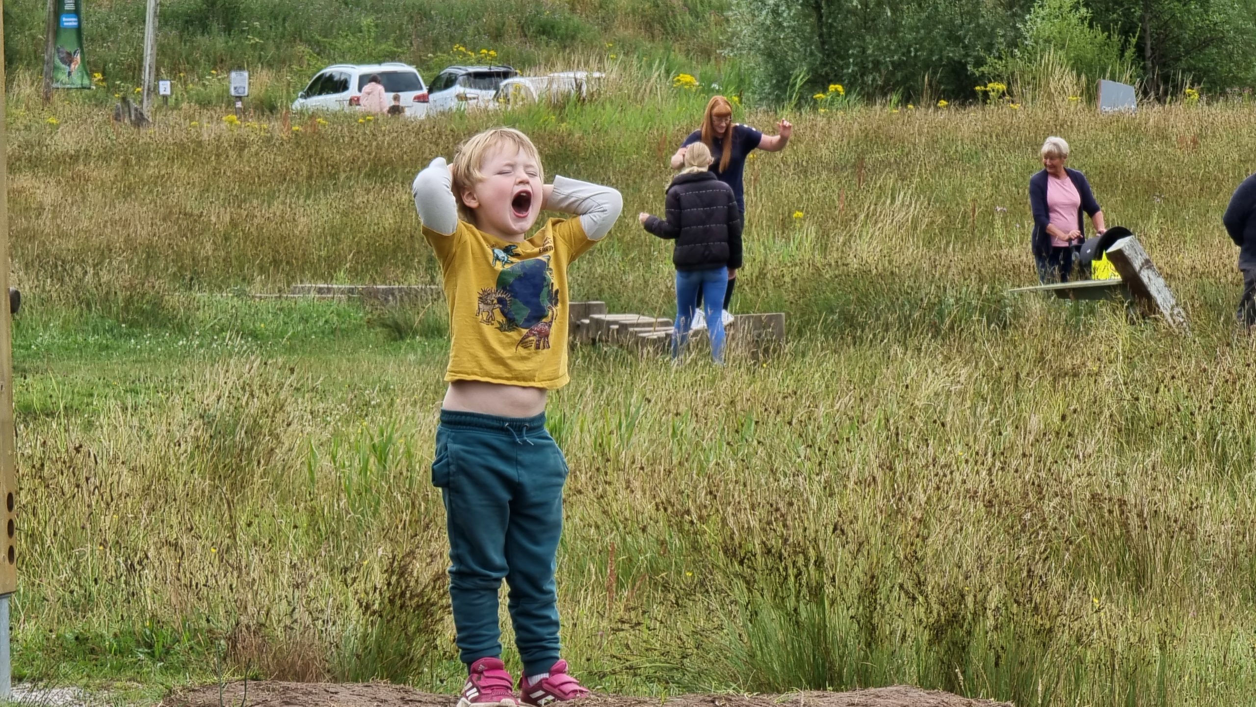
It’s hard to tell, but he’s not shouting in distress here, but in joy.
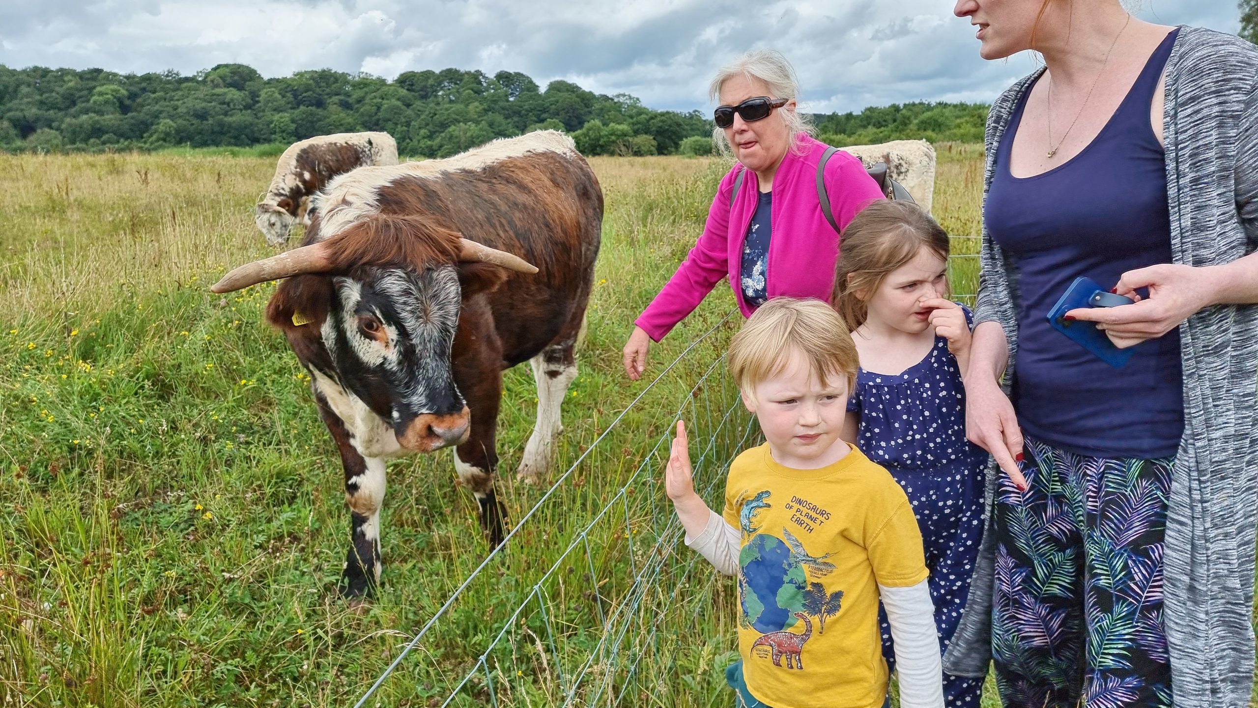
I believe this is an English Longhorn, a traditional draft animal of North-West England in centuries past.
I made several attempts to get my mother, my sister Sarah, and both our kids into a single frame in which they were all looking at the camera and none of them were blinking. I
failed, but this was the closest I managed.
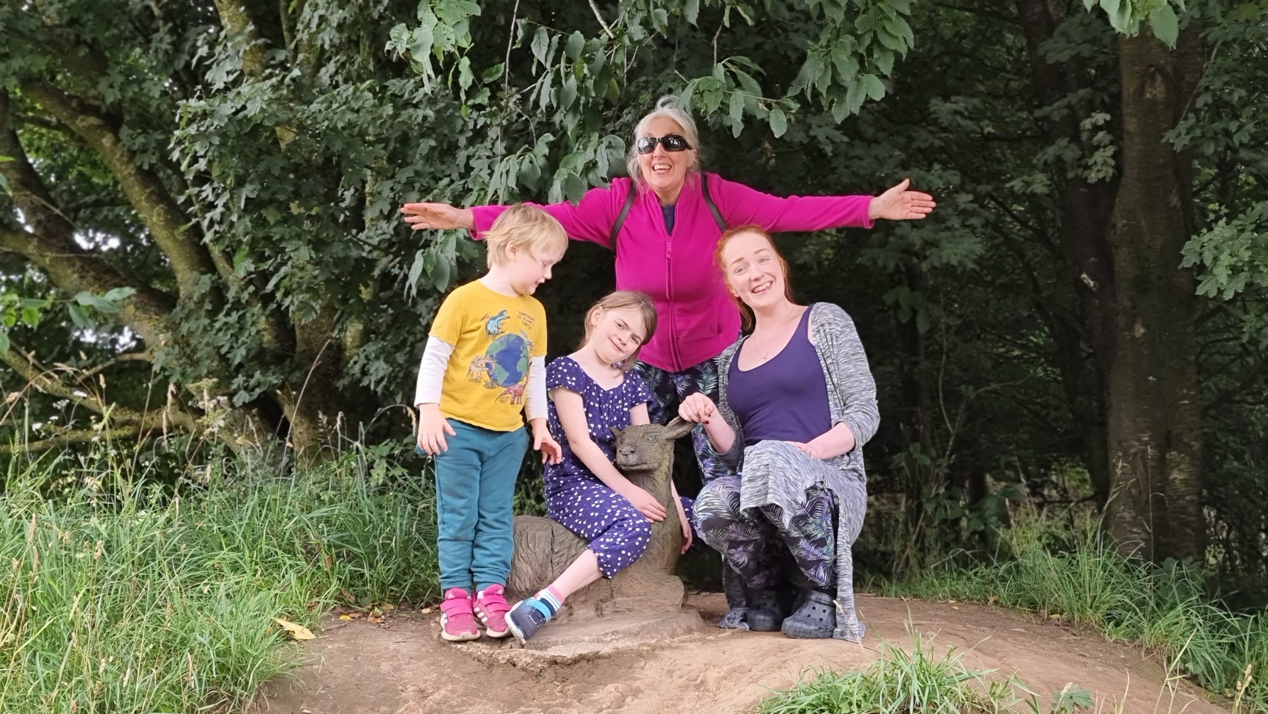
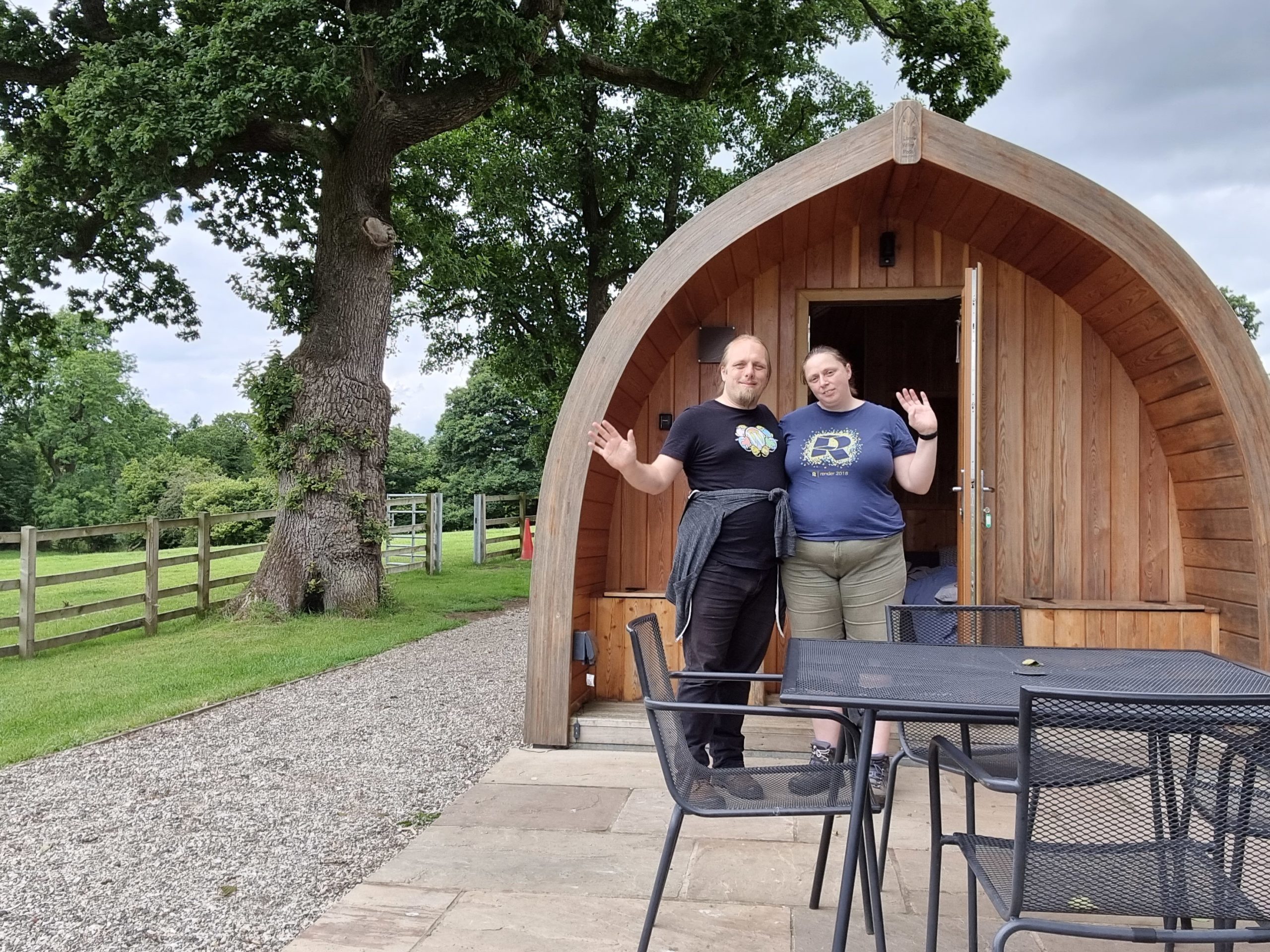
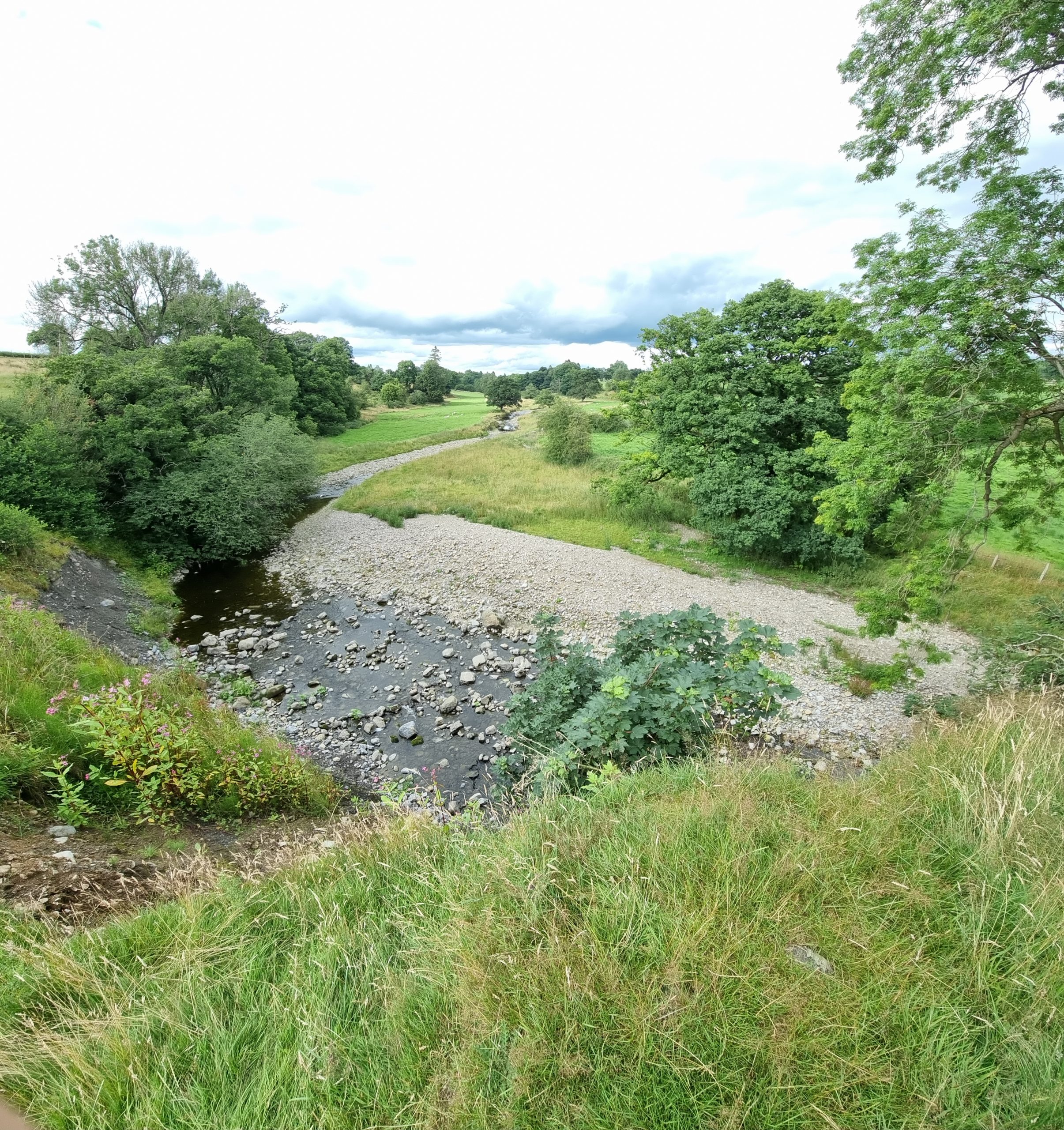
4. Forest of Bowland
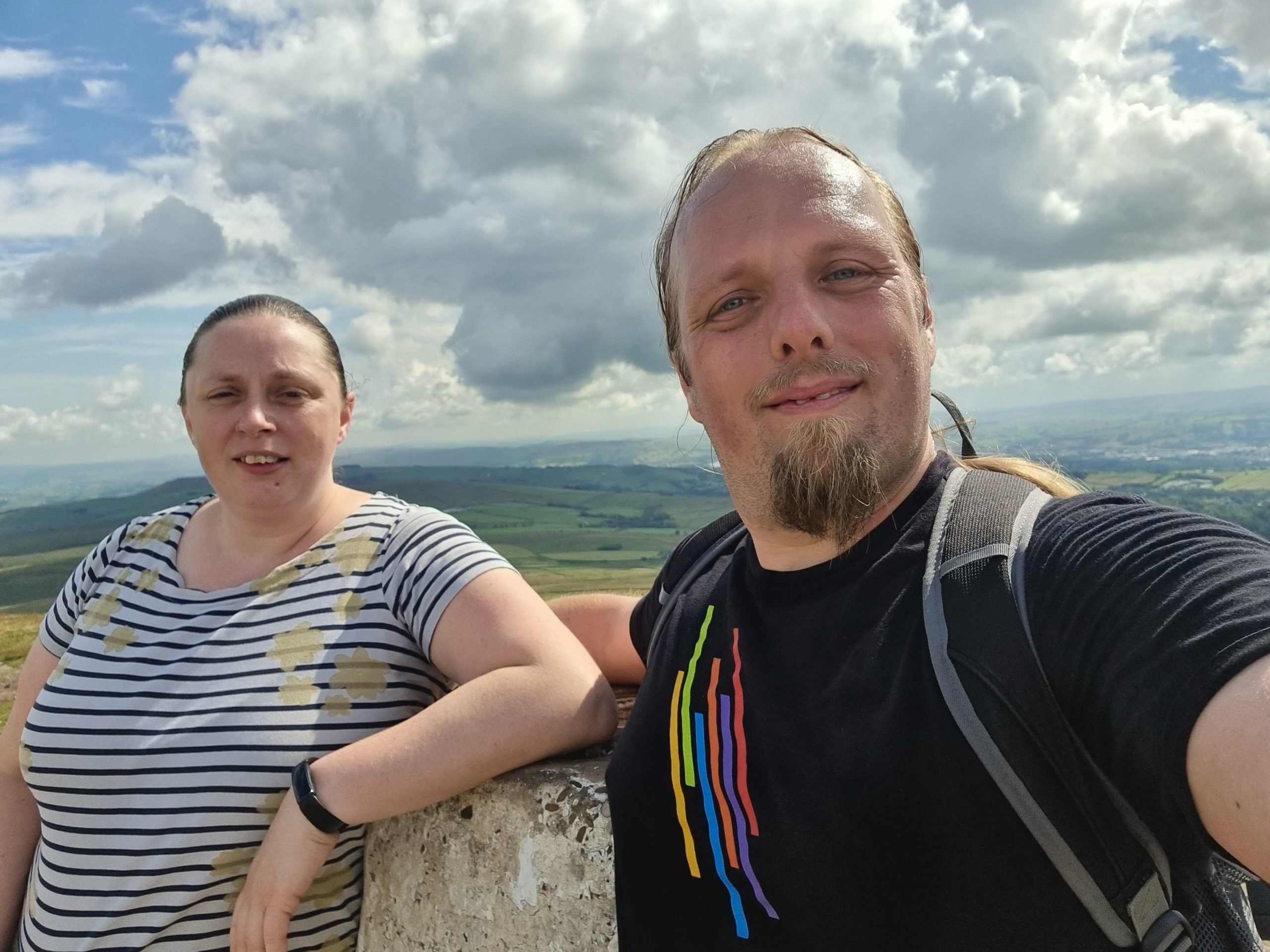
Ruth and I then left the kids with my mother and sisters for a few days to take an “anniversary mini-break” of glamping in the gorgeous Forest of Bowland:
This caravan-sized wooden hut became our delightful little home for a few days.
Here, at the edge of the Forest, the Bier Beck snakes lazily towards the River Ribble.
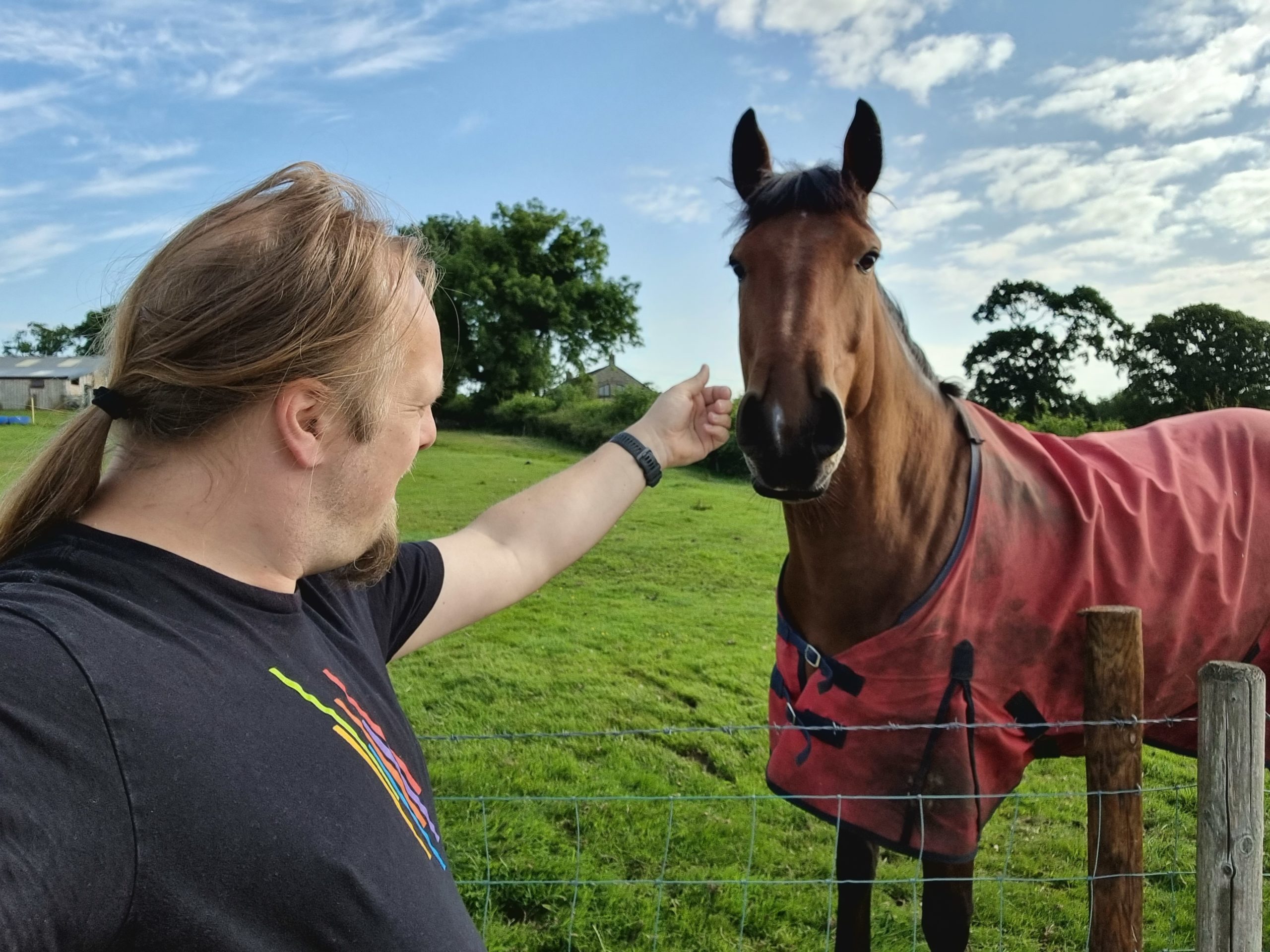
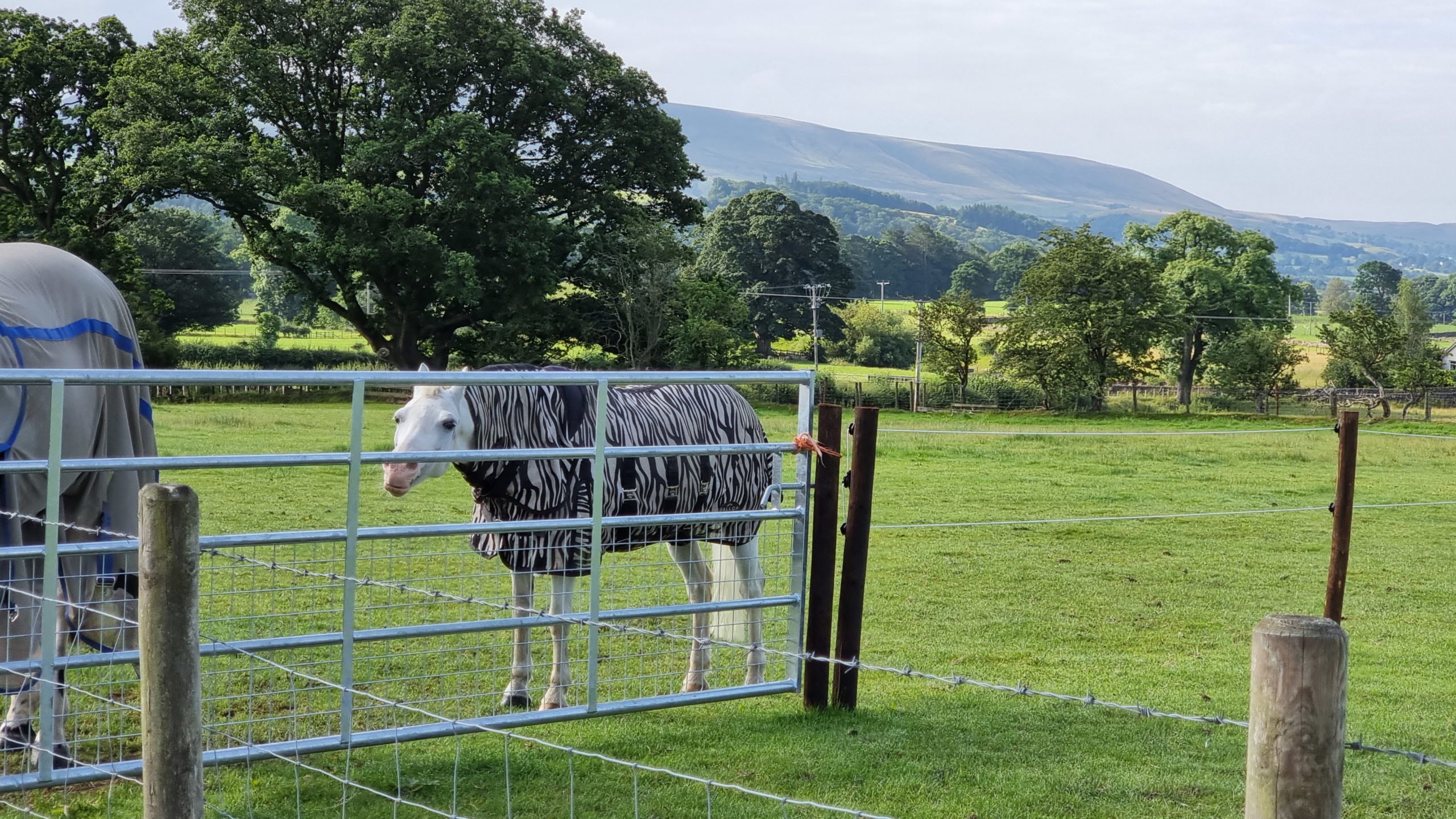
The farm on which our pod was situated kept horses.
I just loved the fact that this horse had a zebra-print jacket.
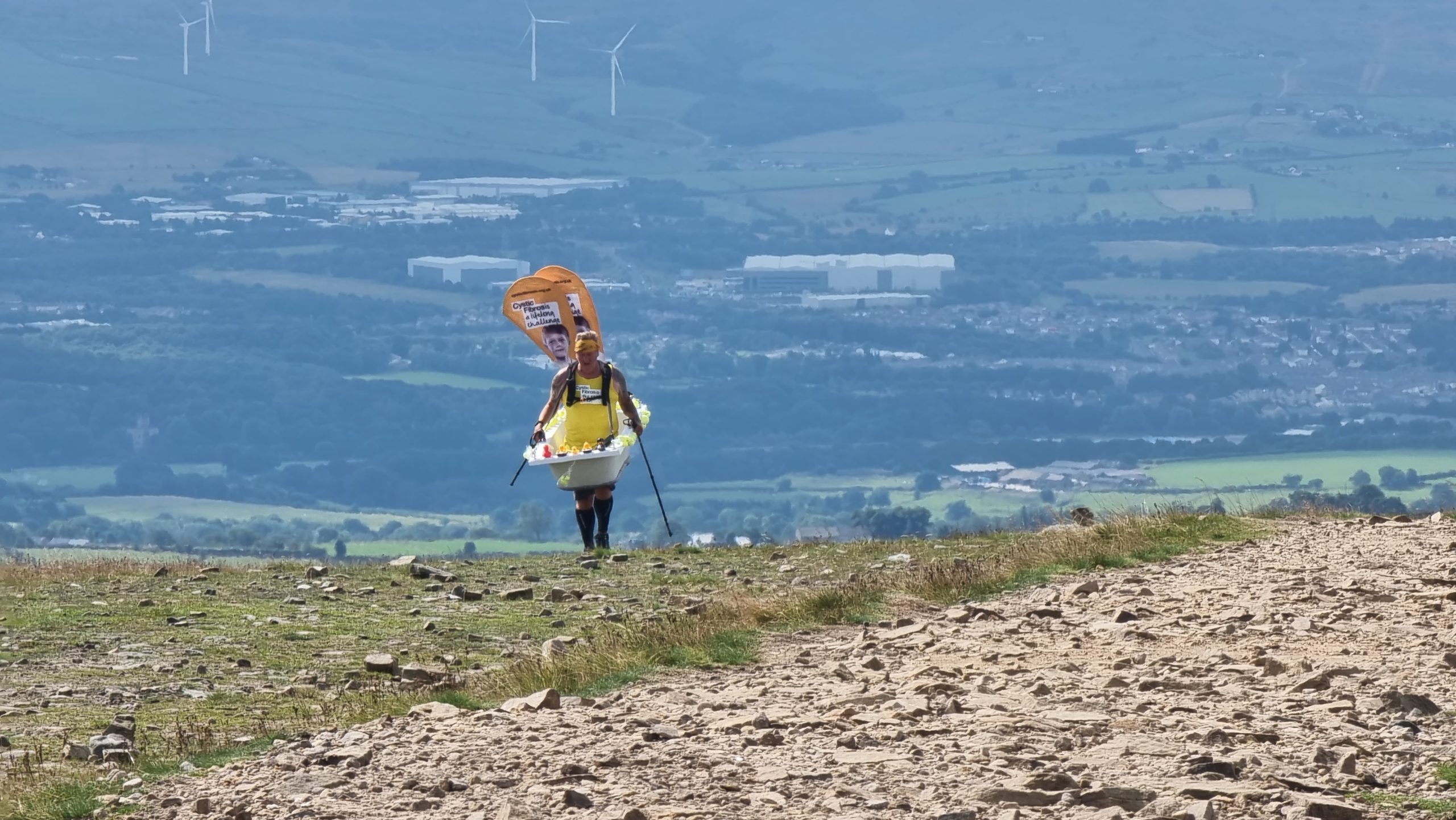
One morning, we took a scorching hike up Pendle Hill. Didn’t see any witches, but also didn’t receive any mission from God, so I guess all’s well.
We DID get to meet Steve Taylor, though, who’s repeatedly climbing the hill, carrying a bathtub, until he’s ascended to the consecutive height of Mount Everest. He’s raising money
for the Cystic Fibrosis Trust, the hero.
That pubs expanded their outdoor seating provision to handle social distancing works wonderfully when you get to sit in a gorgeous but quiet beer garden.
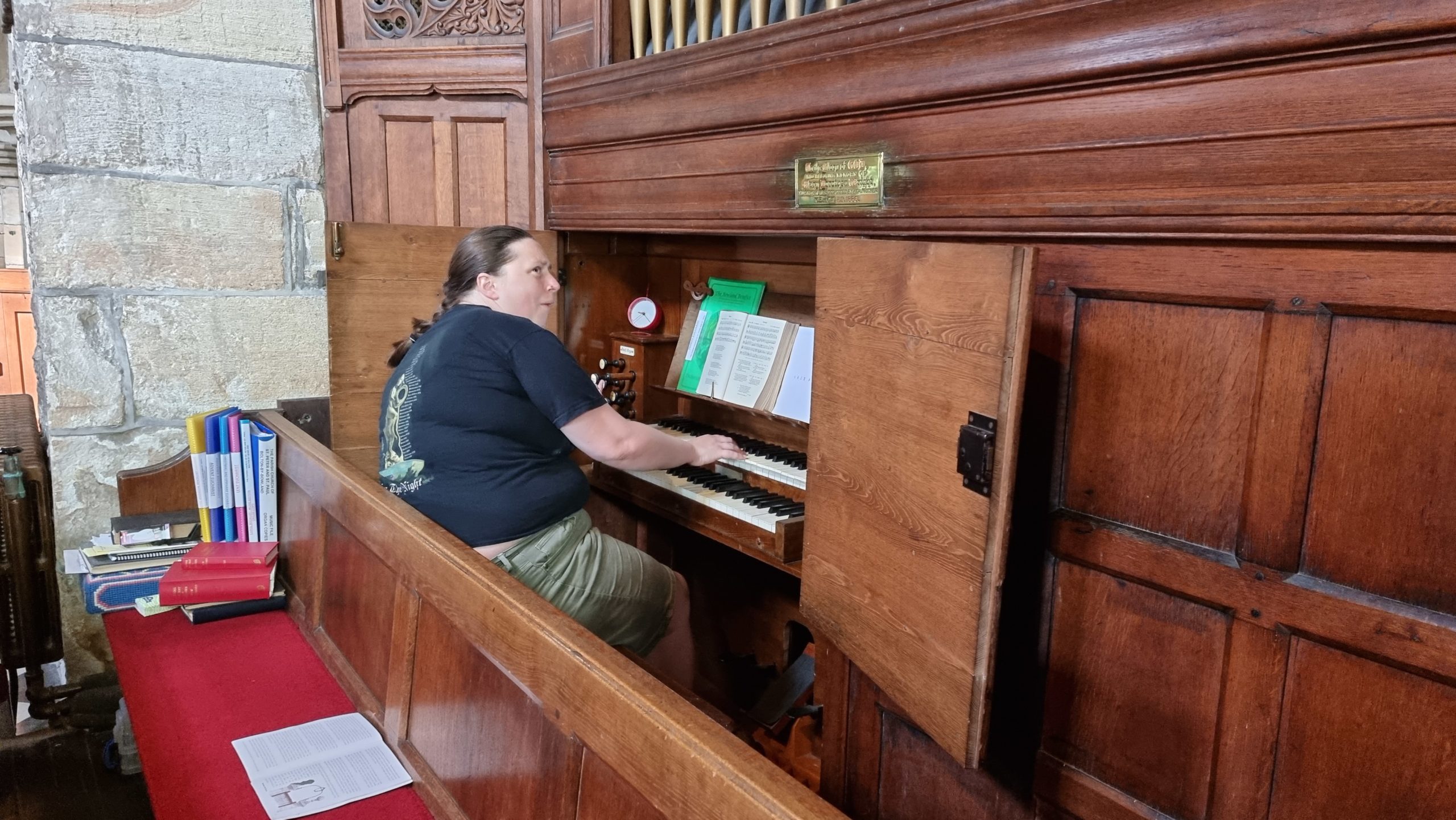
During a self-guided tour of the nearest village we bumped into the vicar who showed us his church’s pipe organ. Ruth tried to explain to me how (and why) this particular pipe organ
was unusual and cool, but I’m not sure I’ll ever “get it” as well as she does.
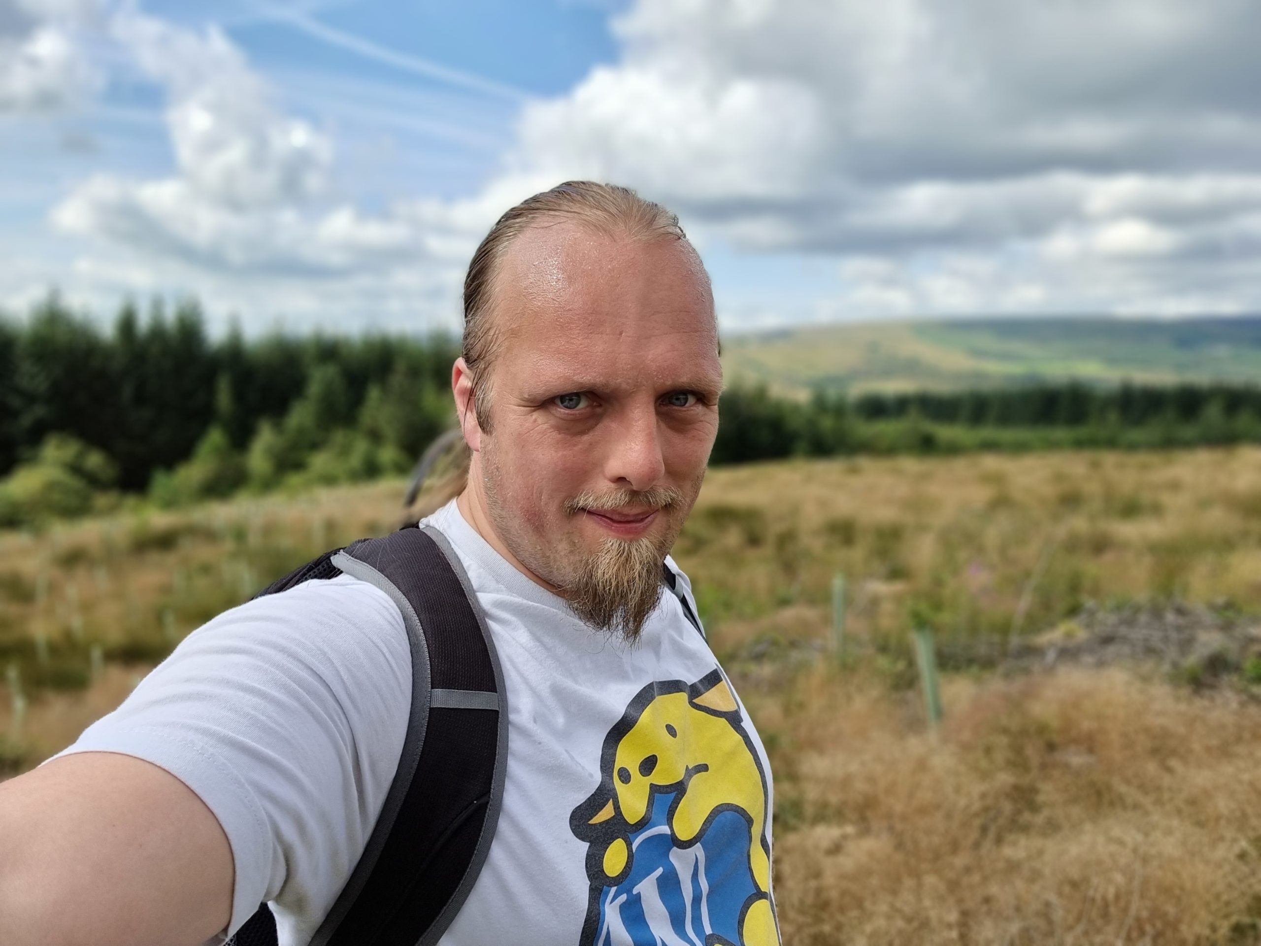
I found a second wind on a walk around Gisburn Forest and jogged up to the trail’s highest point, leaving Ruth far behind the sweaty mess ahead of her.
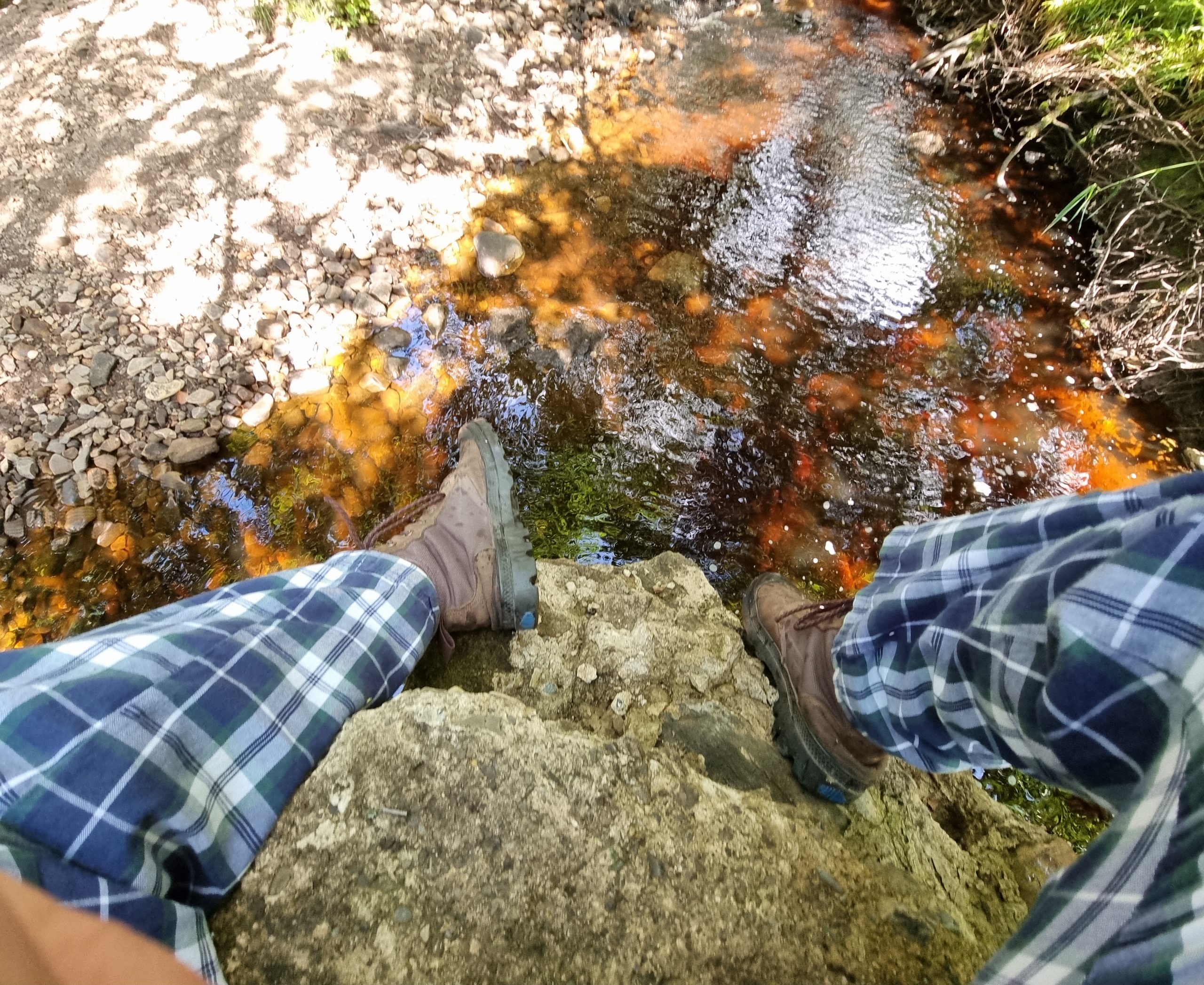
I’m not aware of any iron mining operations anywhere near this forest, but there must be iron oxide in the rocks to turn this stream so red.
Each evening we’d record a quick selfie video to say hi to the kids. Sometimes (with some help!) they’d send one back.
A particular treat was stargazing by the fire pit on an evening.
As we checked-out of our accommodation, Ruth suggested we see the sea (we’re a long way from it, normally), so we diverted via the coast.
The children, back in Preston, were apparently having a whale of a time:
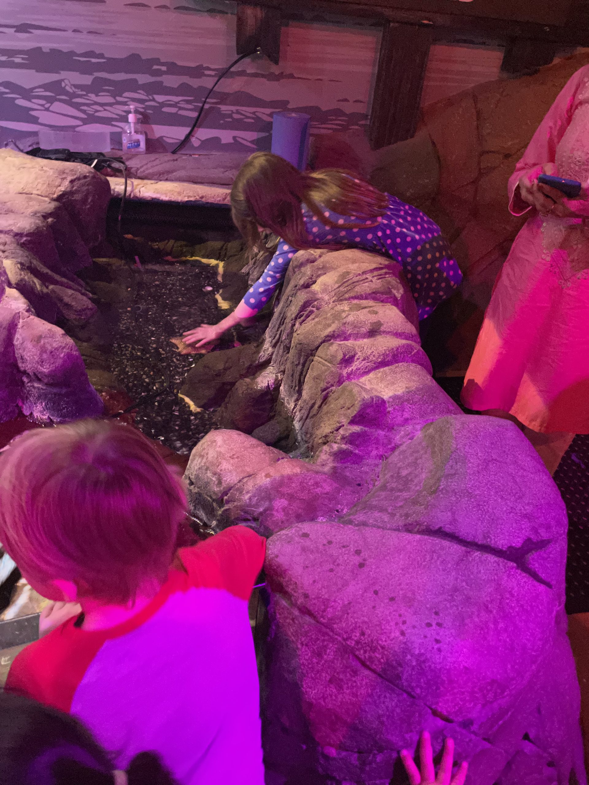
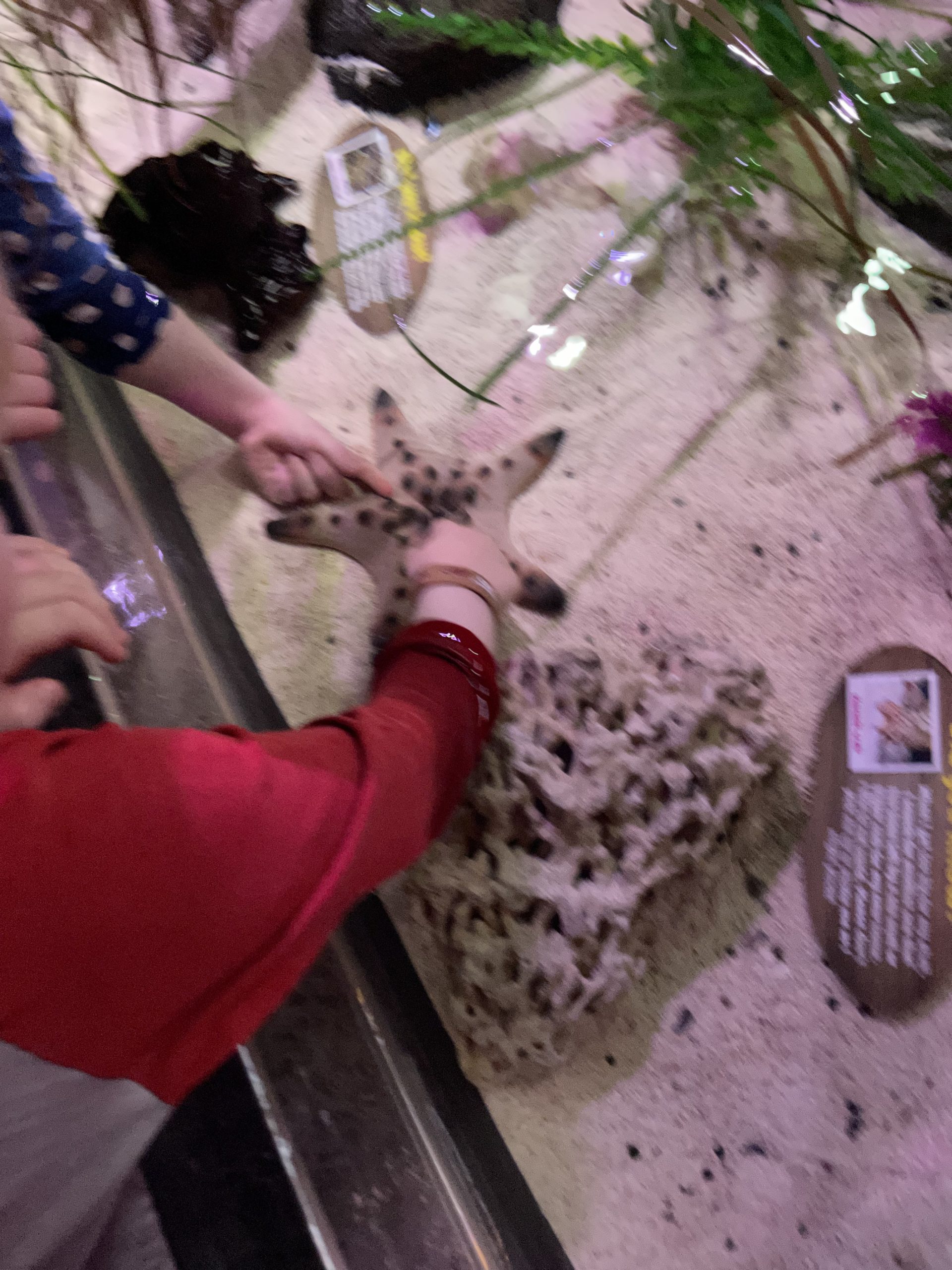
Starfish-petting.
(Yes, actual starfish.)
That’ll be Seaworld, of course.
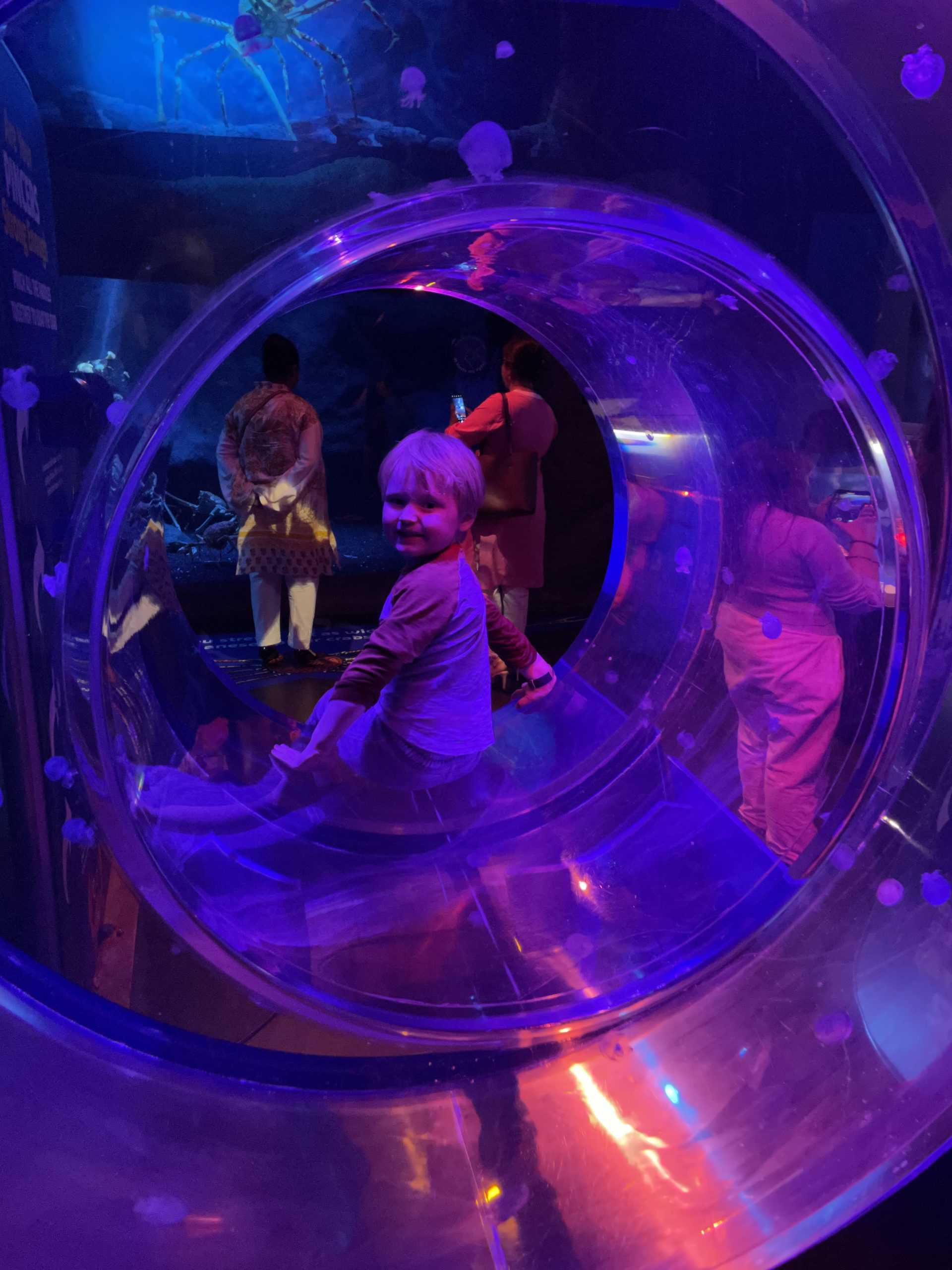
Tube. Tube tube tube.
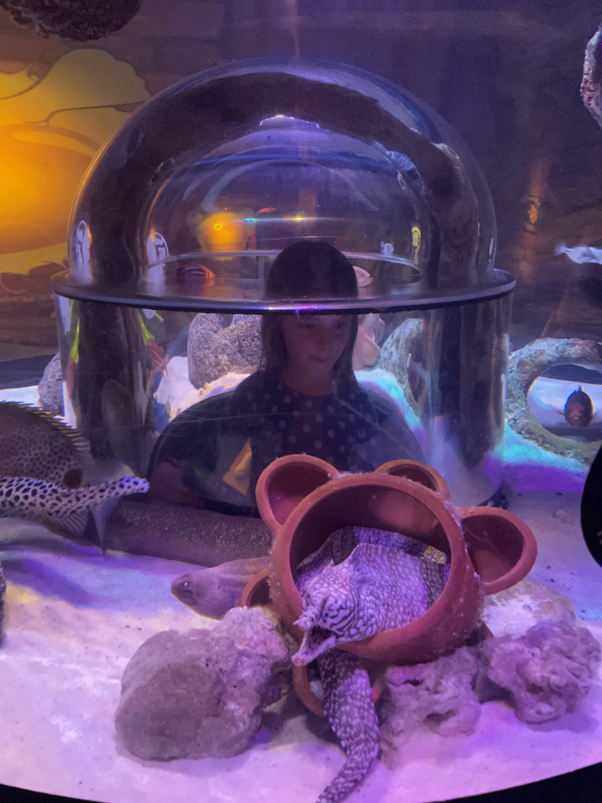
Do you think the fish think that humans are the exhibit?
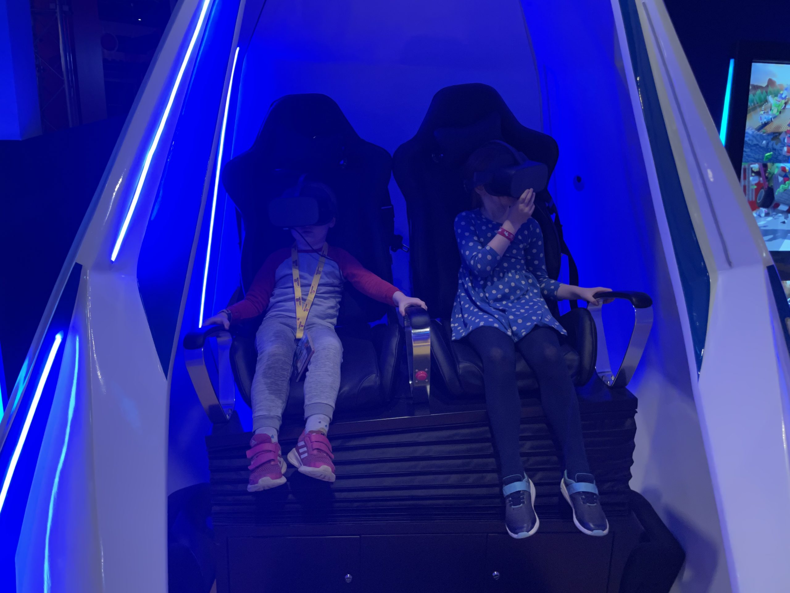
Both kids play with VR at home and are way less susceptible to VR-nausea than I am (even with all the practice I’ve had!).
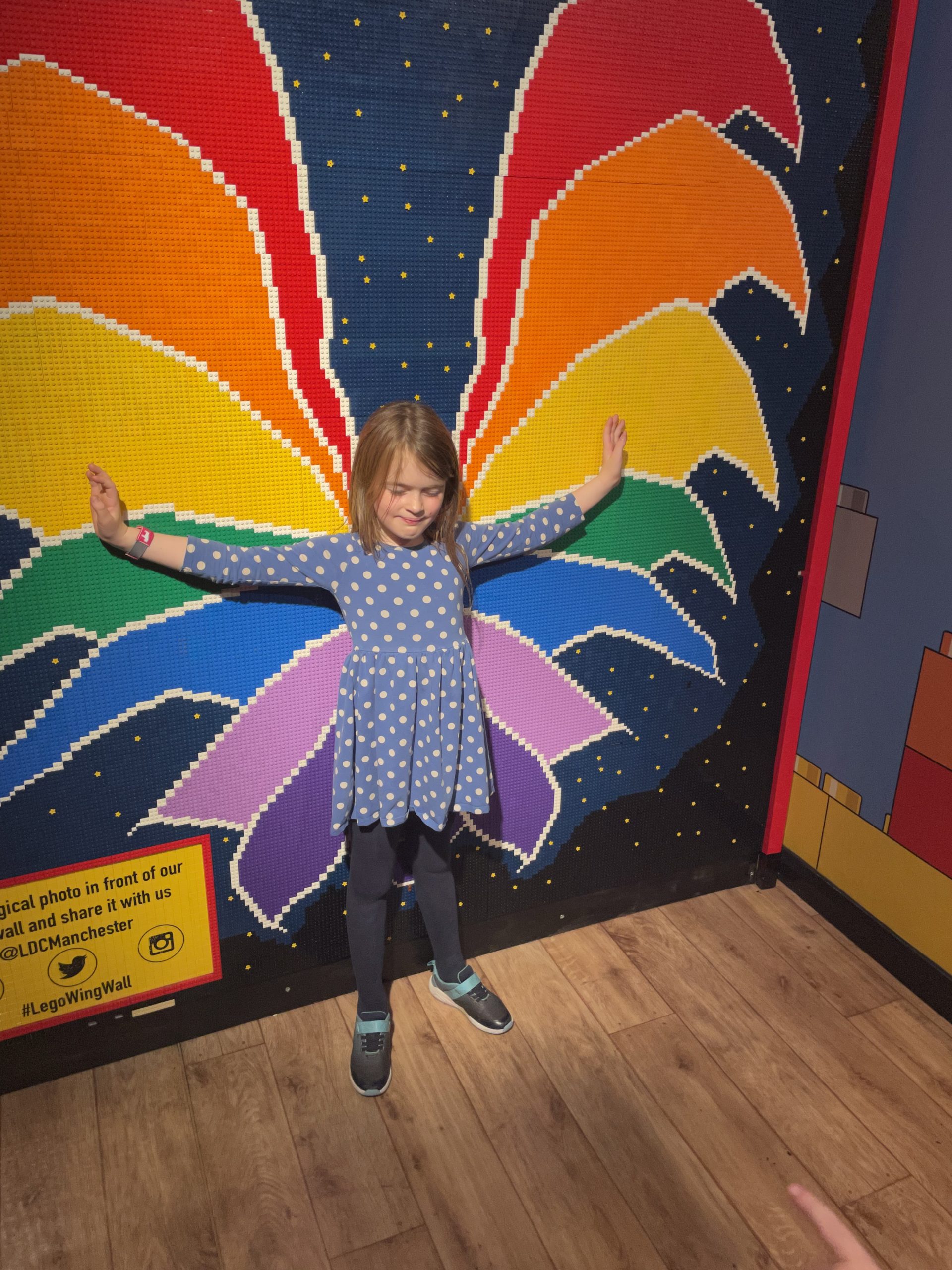
Legoland Manchester. (Did you even know there was a Legoland in Manchester? I didn’t.)
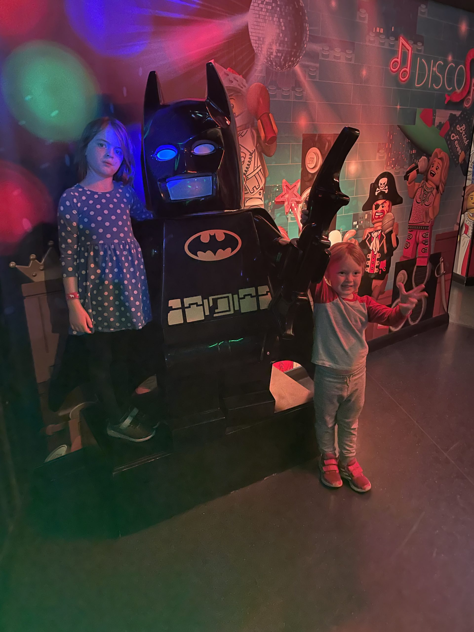
The 4-year-old took “meeting” Lego Batman way more-seriously than the 7-year-old, I think.
That’s one small step for…. OW I STOOD ON A LEGO BRICK!
This brick was her contribution, I guess?
I think this must be Avenham Park in Preston.
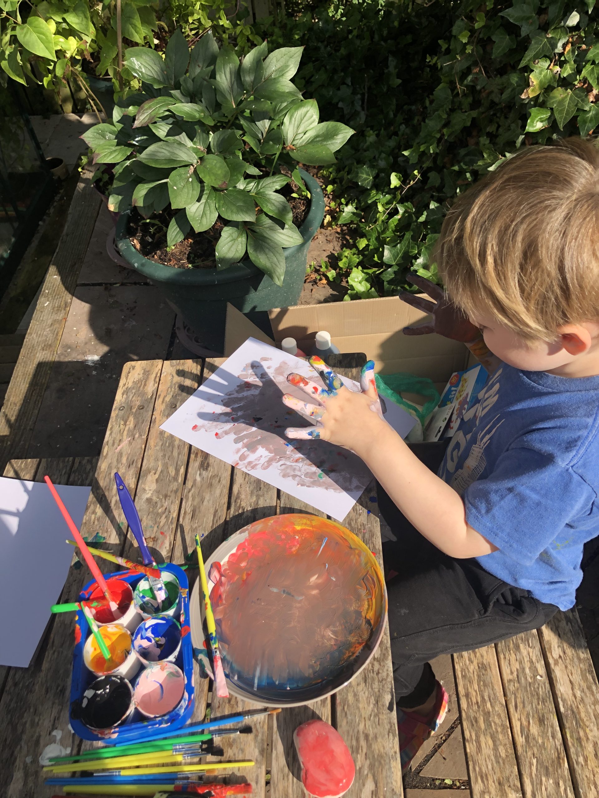
Many of his paintings start out as beautiful coloured stripes and end up as brown handprints. I can’t imagine how.
“Do you do contactless?”
I gather the children even got a little gardening done… or at least, grazed on the entirety of my mother’s herb garden.
6. Suddenly, A Ping
The plan from this point was simple: Ruth and I would return to Preston for a few days, hang out with my family some more, and eventually make a leisurely return to Oxfordshire. But it
wasn’t to be…
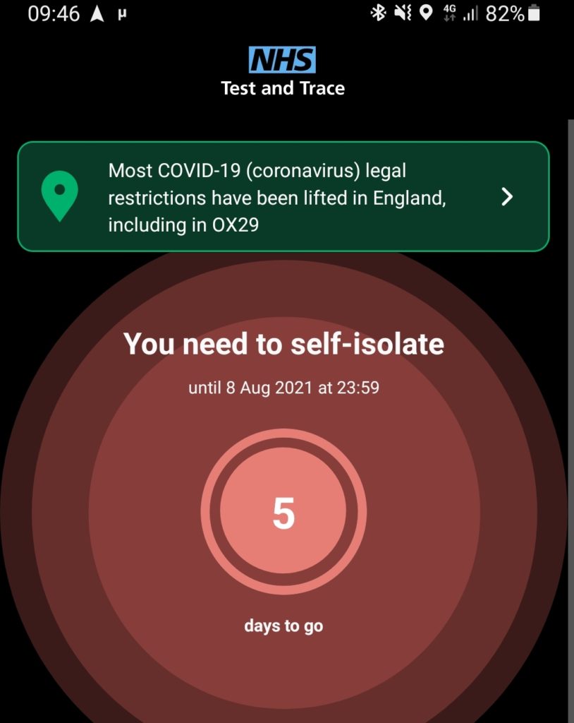
Well that’s not the kind of message you want to get from your phone.
I got a “ping”. What that means is that my phone was in close proximity to somebody else’s phone on 29 August and that other person subsequently tested positive for COVID-19.
My risk from this contact is exceptionally low. There’s only one place that my phone was in close proximity to the phone of anybody else outside of my immediate family, that
day, and it’s when I left it in a locker at the swimming pool near our cabin in the Darwin Forest. Also, of course, I’d been double-jabbed for a month and a half and I’m more-cautious
than most about contact, distance, mask usage etc. But my family are, for their own (good) reasons, more-cautious still, so self-isolating at Preston didn’t look like a possibility for
us.
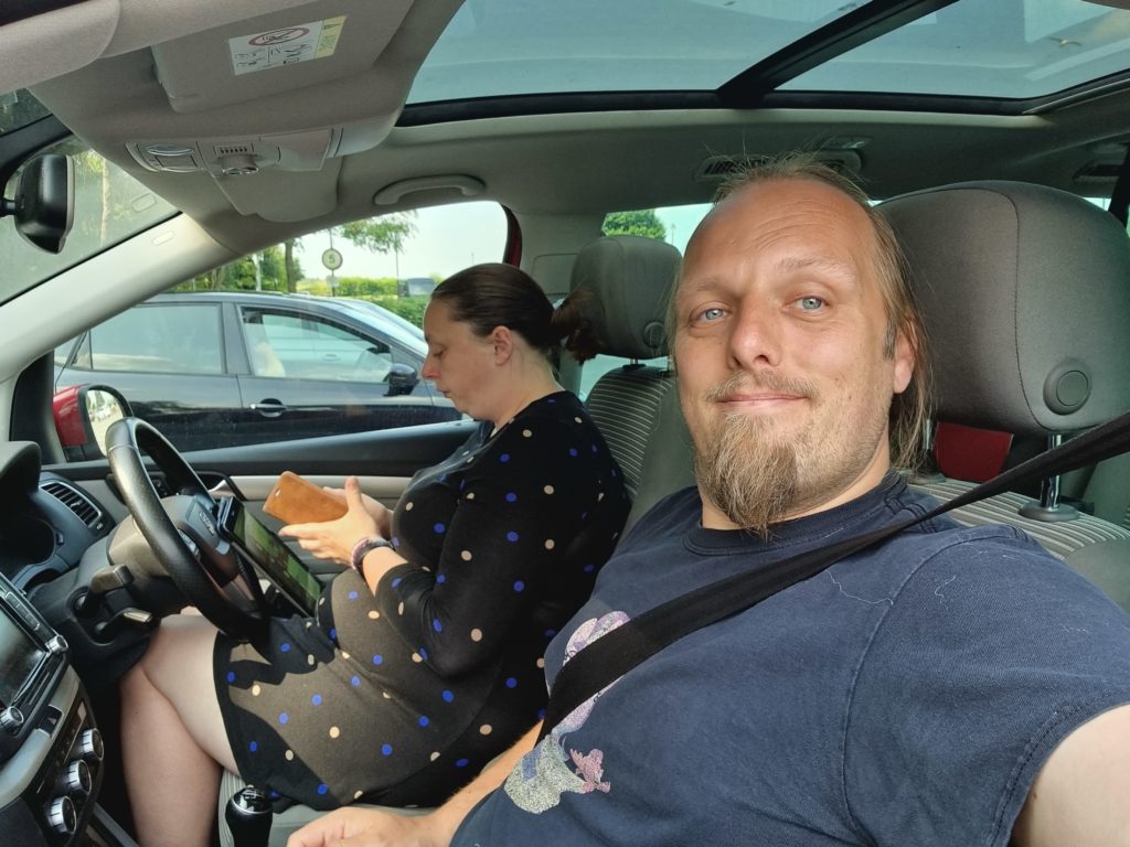
Ruth and I went directly to a drive-through PCR testing facility.
As soon as I got the notification we redirected to the nearest testing facility and both got swabs done. 8 days after possible exposure we ought to have a detectable viral
load, if we’ve been infected. But, of course, the tests take a day or so to process, so we still needed to do a socially-distanced pickup of the kids and all their stuff from Preston
and turn tail for Oxfordshire immediately, cutting our trip short.
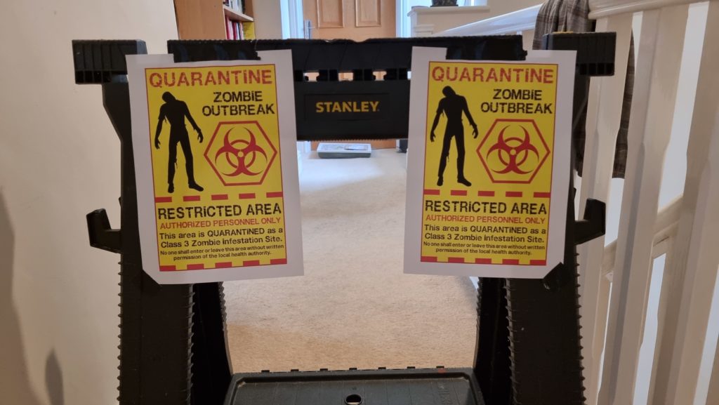
The results would turn up negative, and subsequent tests would confirm that the “ping” was a false positive. And in an ironic twist, heading straight home actually put us
closer to an actual COVID case as Ruth’s brother Owen turned out to have contracted the bug at almost exactly the same time and had, while we’d been travelling down
the motorway, been working on isolating himself in an annex of the “North wing” of our house for the duration of his quarantine.
I set up a “yellow zone” between Owen’s quarantine area and the rest of the house into which we could throw supplies. And I figured I’d have fun with the signage.
7. Ruth & JTA go to Berwick
Thanks to negative tests and quick action in quarantining Owen, Ruth and JTA were still able to undertake the next part of this three-week holiday period and take
their anniversary break (which technically should be later in the year, but who knows what the situation will be by then?) to Berwick-upon-Tweed. That’s their story to tell, if
they want to, but the kids and I had fun in their absence:
Silly Hat Morning!
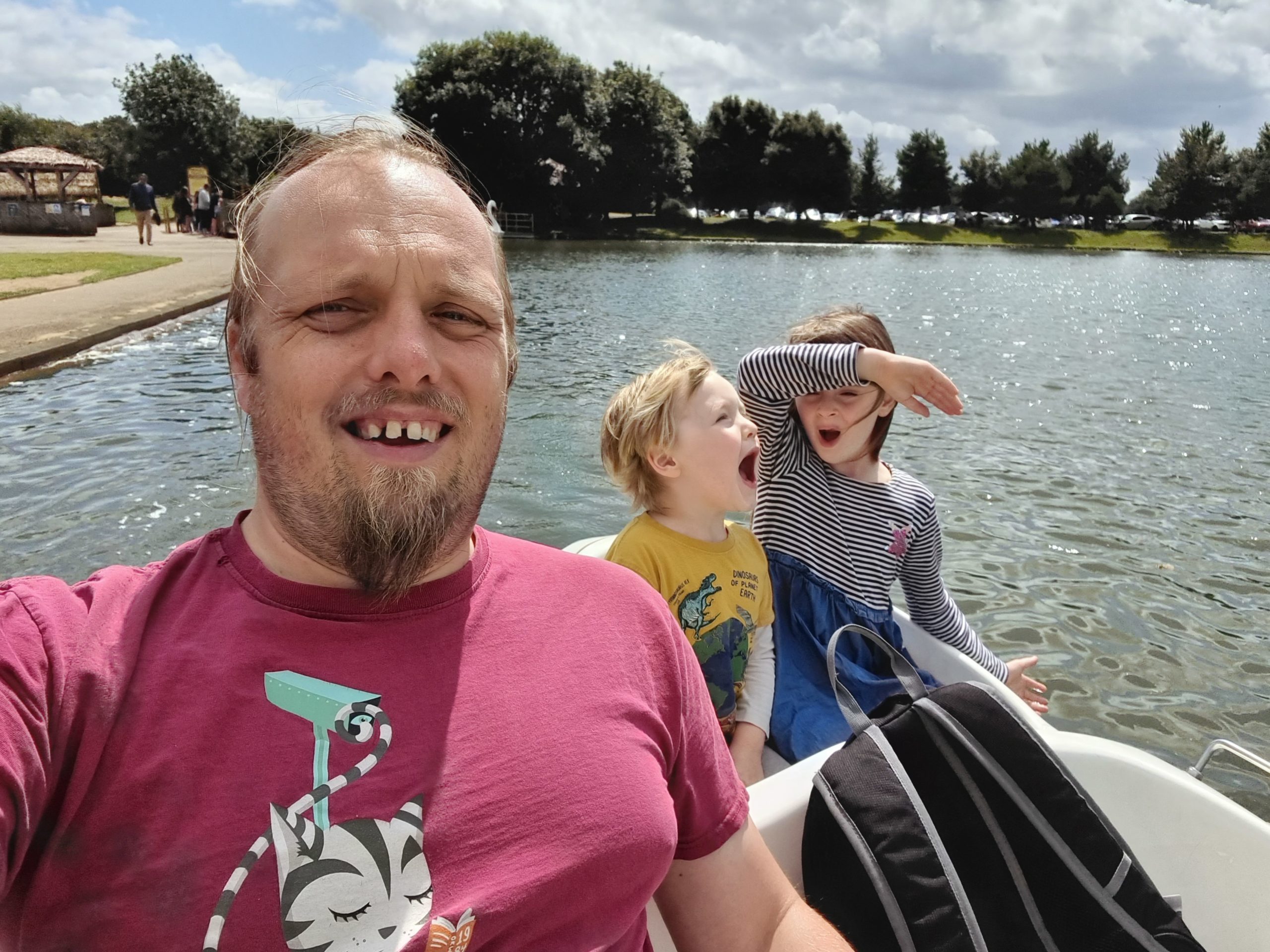
Swan boat ride. (I had to do all the pedalling, but the kids were good at shouting orders and threatening to fire upon or board the other boats!)
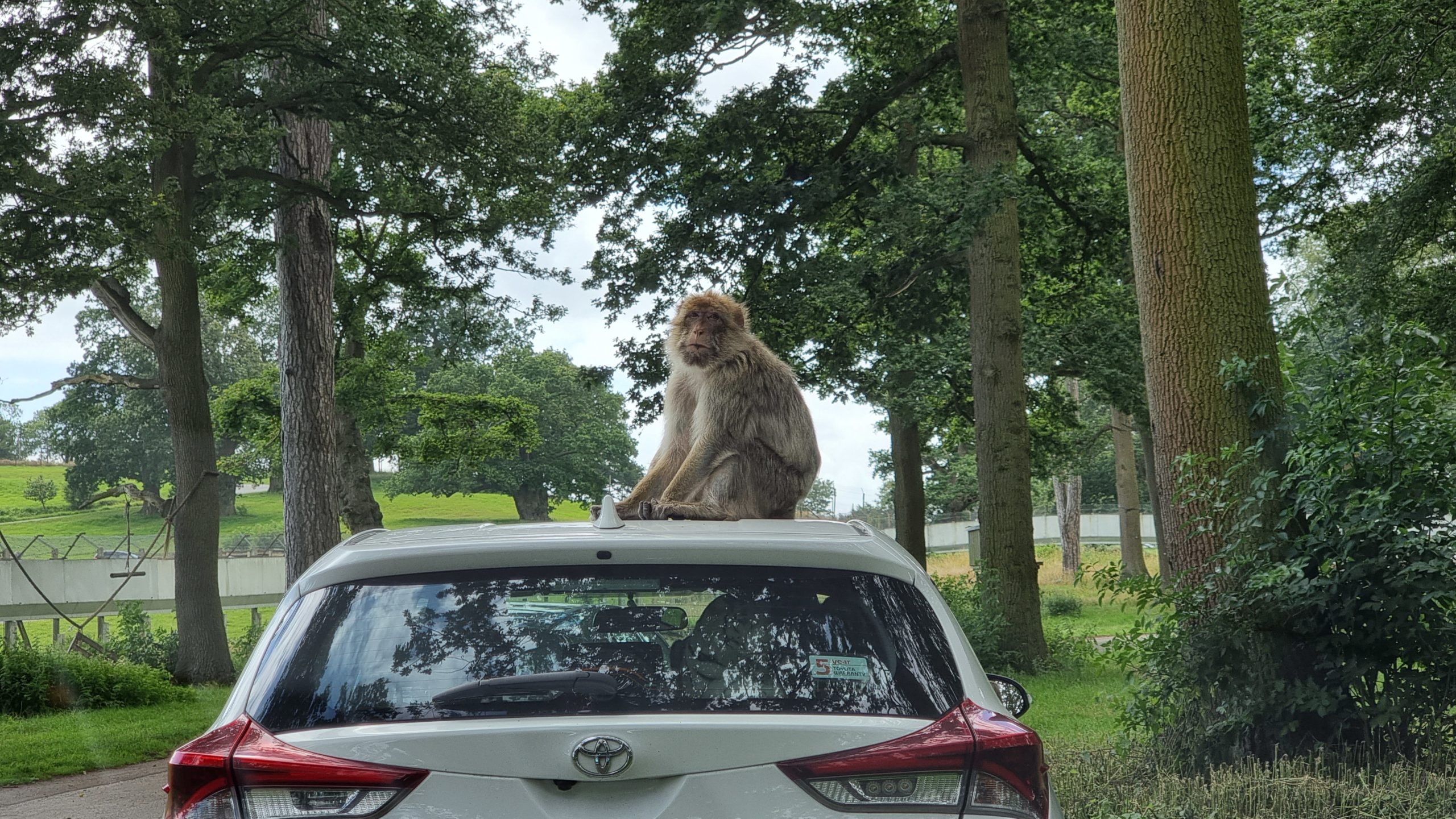
A trip to Woburn Safari Park isn’t complete without a photo of a monkey on the roof of a car.
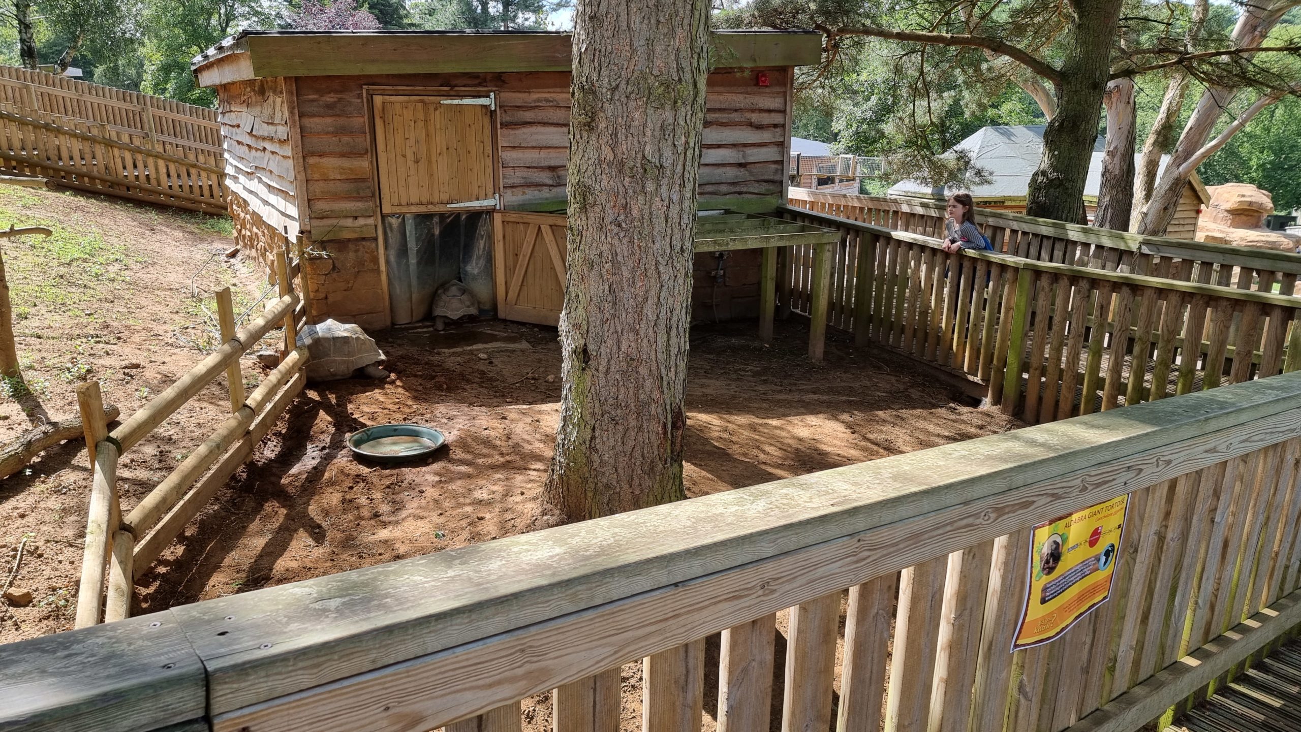
That giant tortoise was determined that it could open the (latched) gate if only it pushed hard enough.
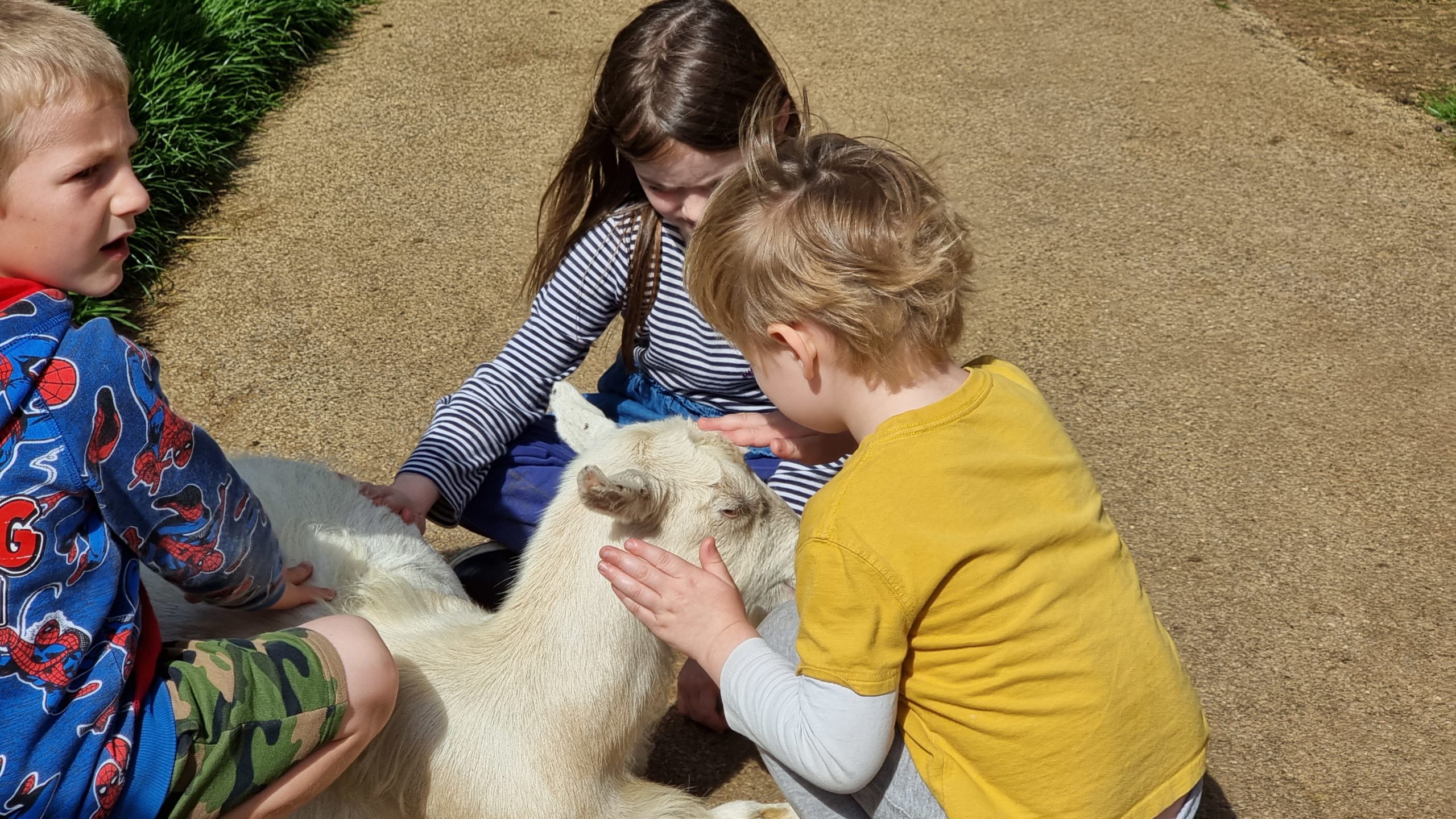
Kids love a kid (goat).
Nothing beats a picnic lunch right as everybody else rushes to queue for food in the heat.
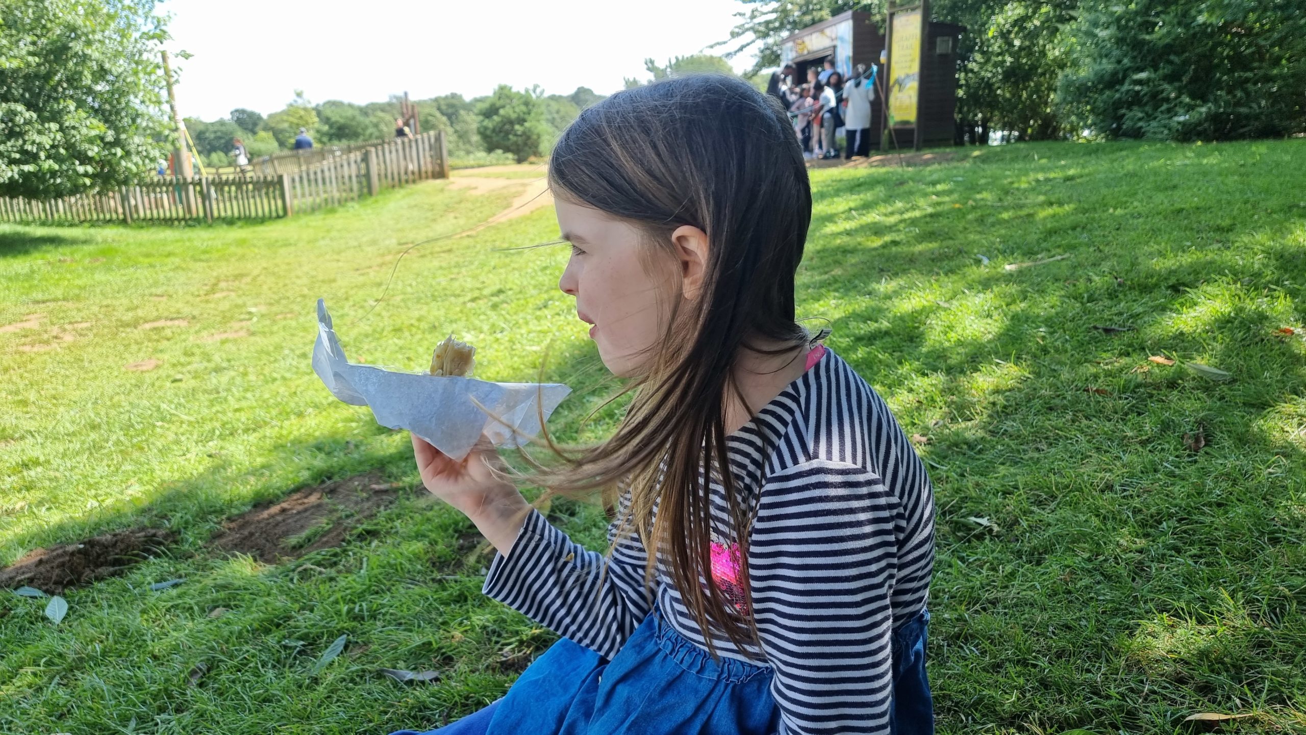
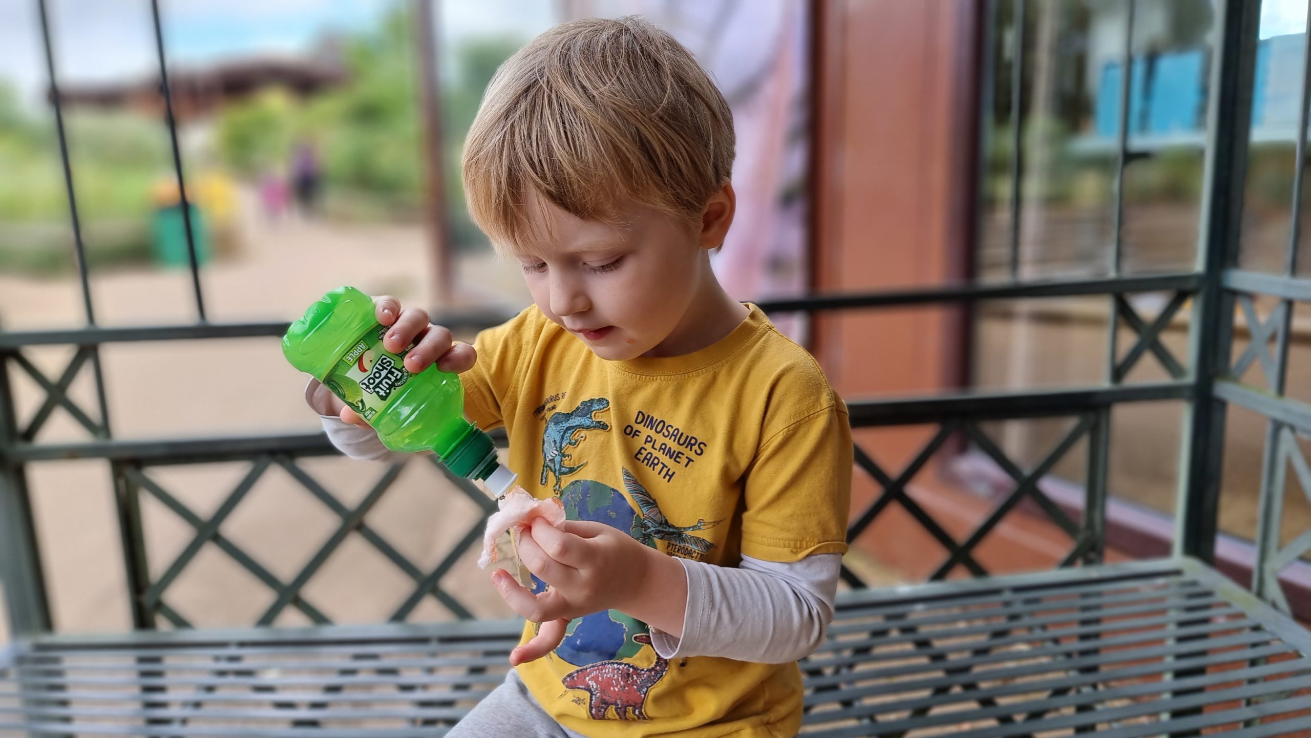
Ever the culinary experimenter, our 4-year-old tries pouring a Fruit Shoot onto some candy floss.
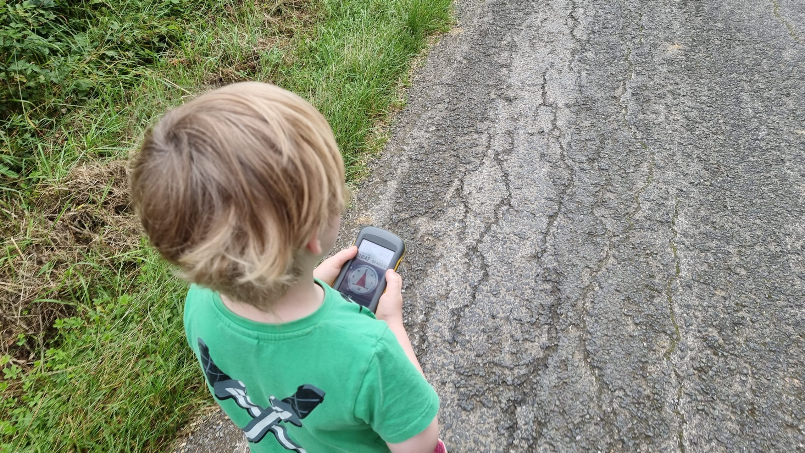
And of course, some geocaching might have happened.
“The cache is this way!” “No, it’s THIS way.” “Kids! It’s still 200 metres away, keep walking!”
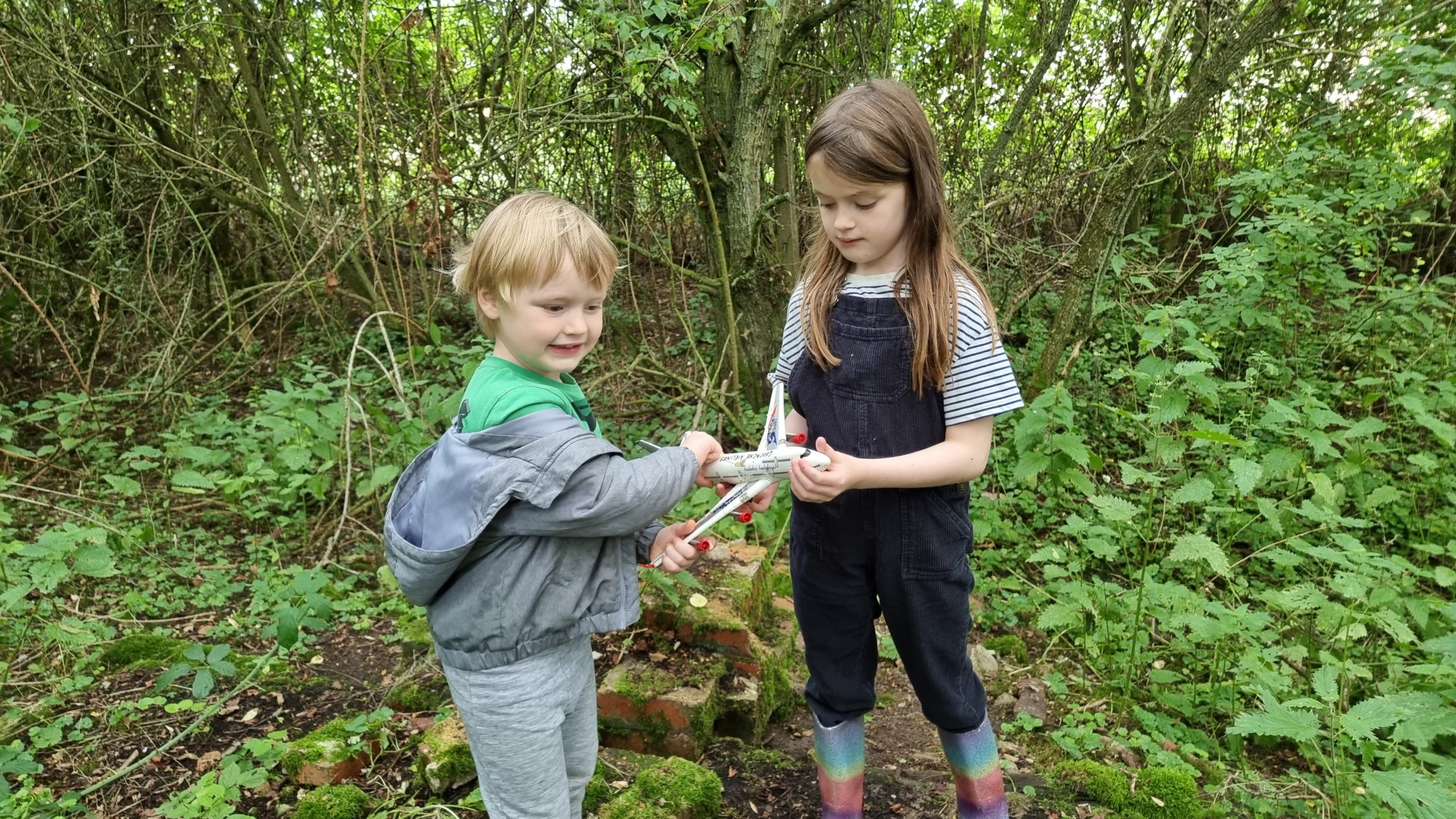
GC98N1P – whose cache container is this aeroplane and is hidden in a “crash site”! – is one of my favourite local caches.
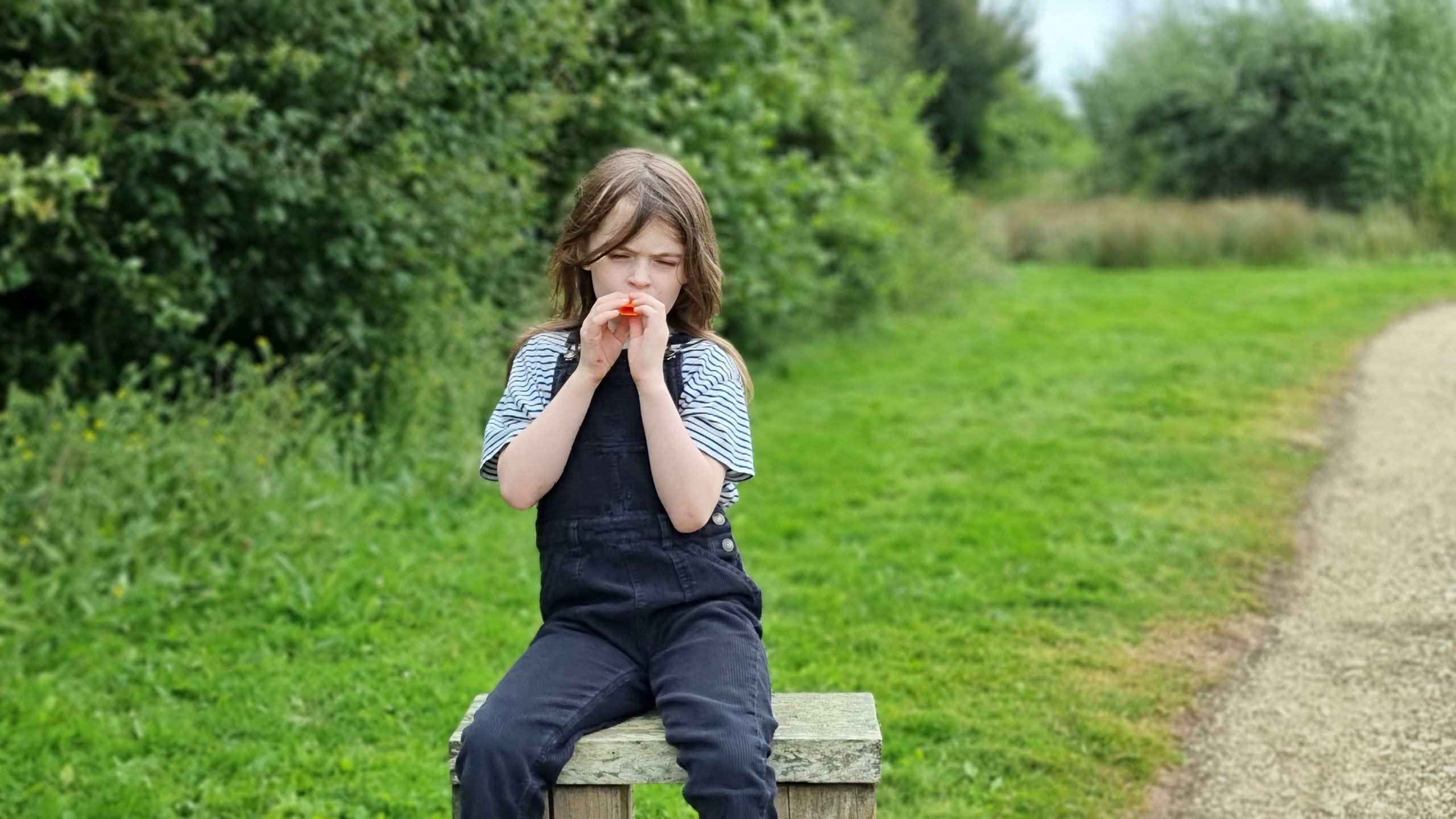
I gave the 7-year-old a kazoo. #parentingmistakes
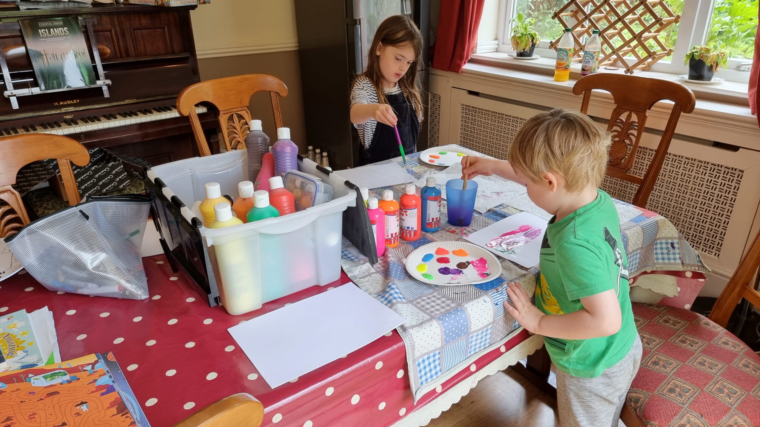
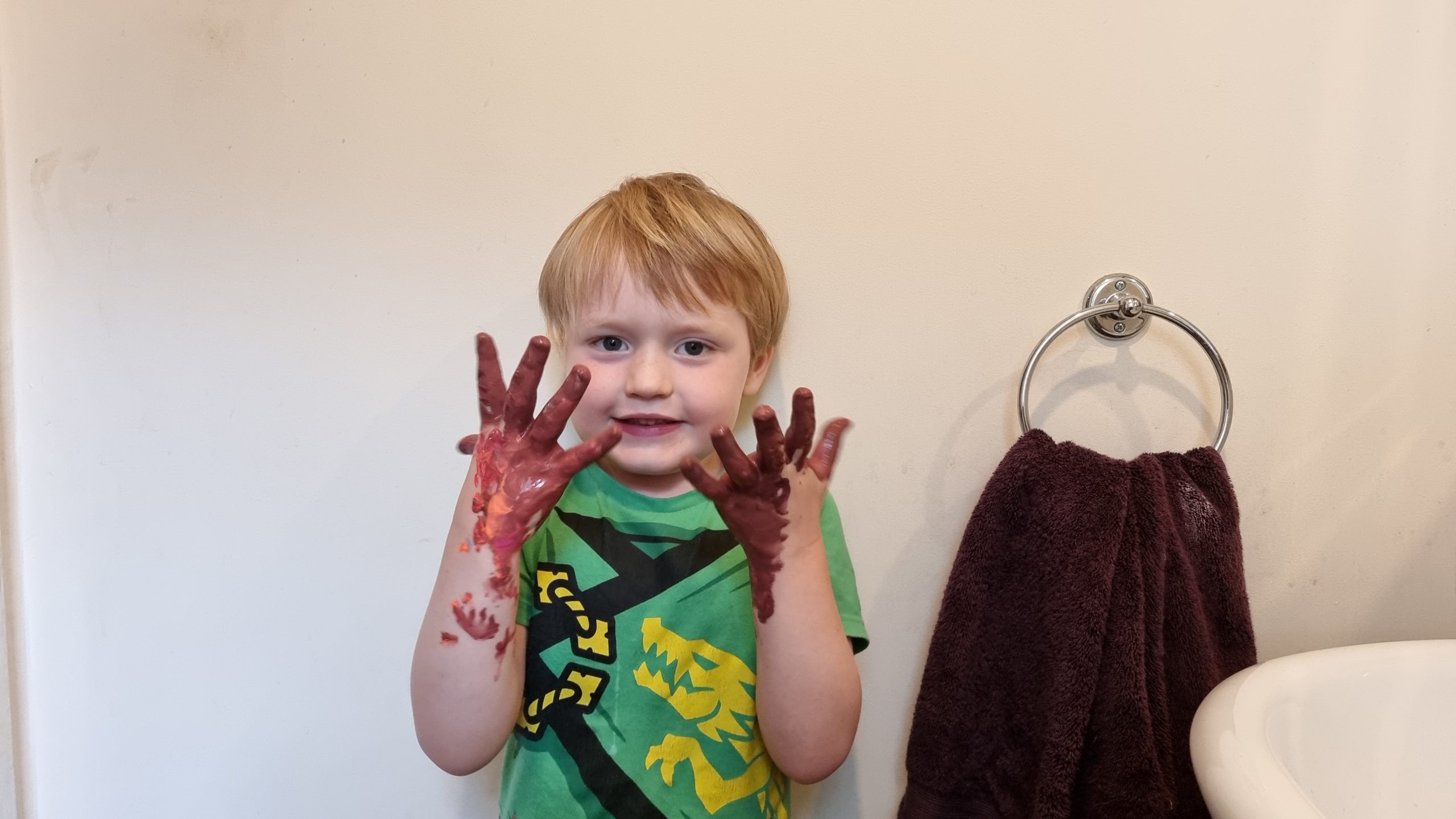
We start with nice colourful lines…
…and end up with brown hands! It’s part of his artistic process, I guess.
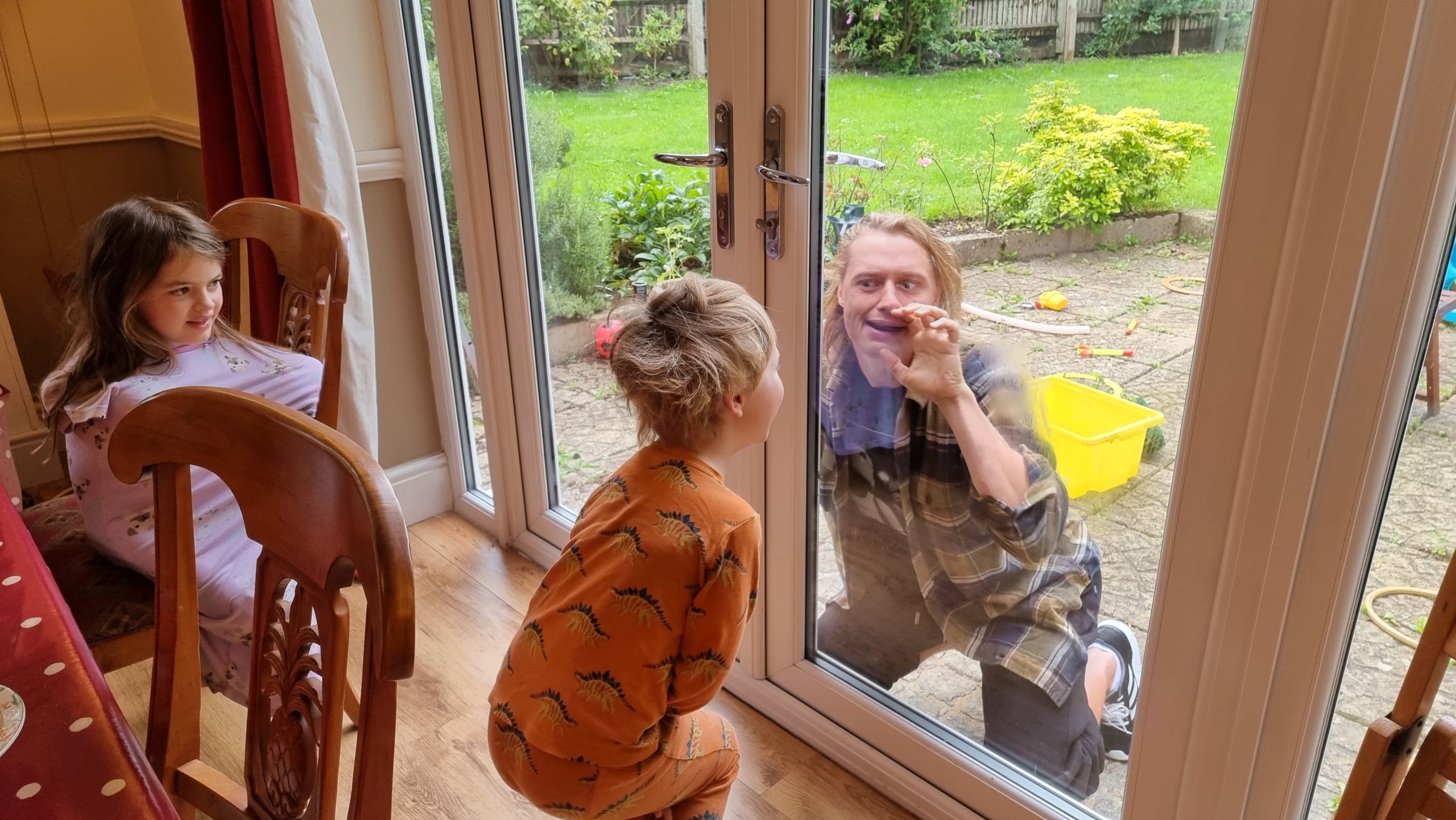
We enjoyed a socially-distanced visit from Robin one breakfast time.
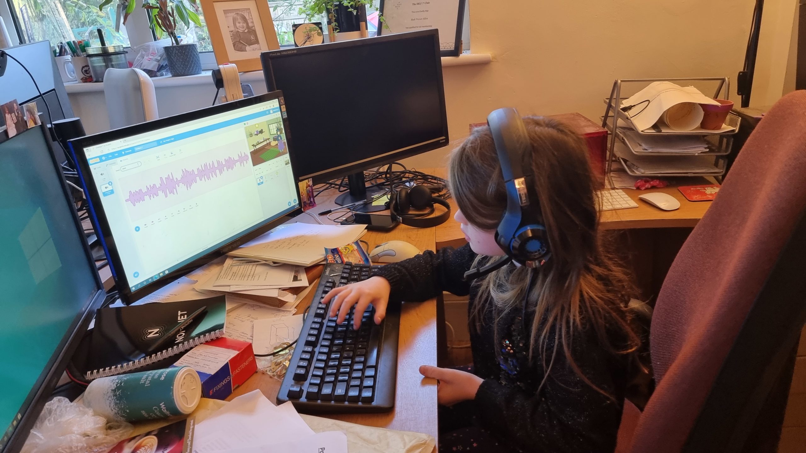
We also extended our practice in programming with Scratch.
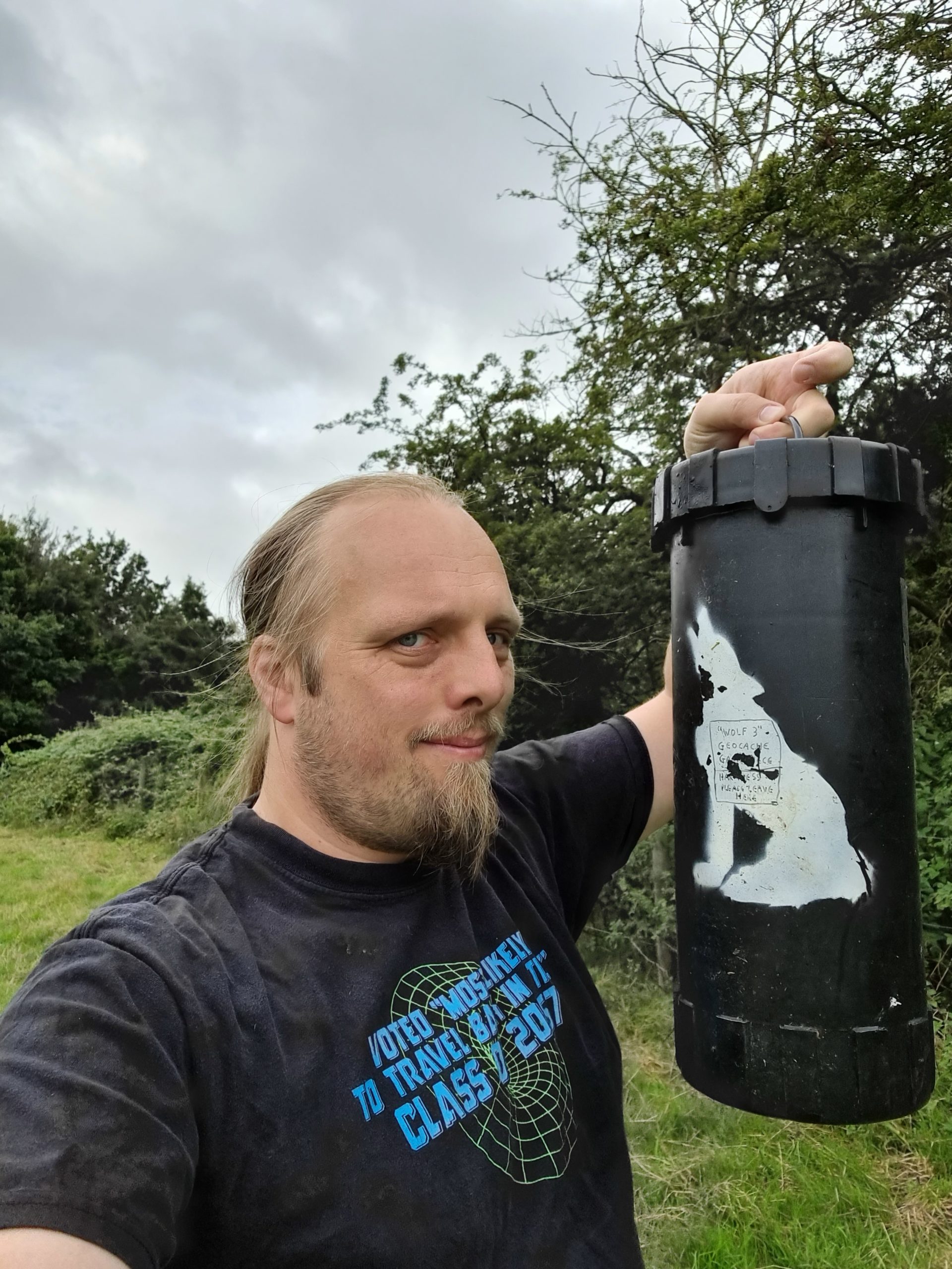
I found an opportunity to retrieve a much-loved but no-longer-sustainable geocache of my own. Look at this monster!
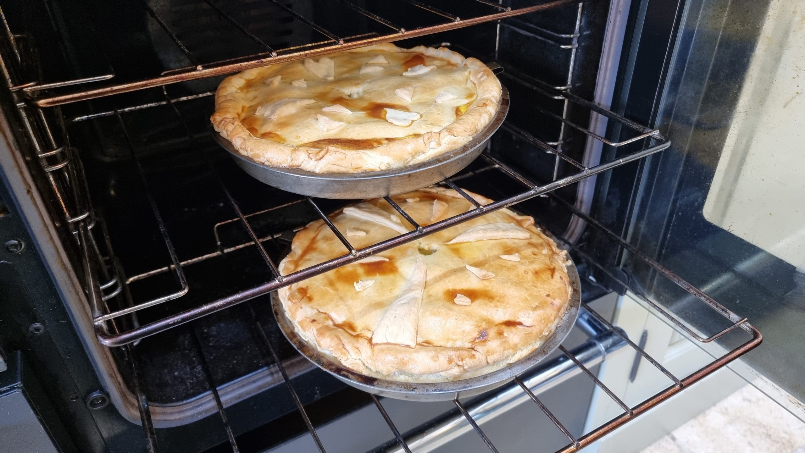
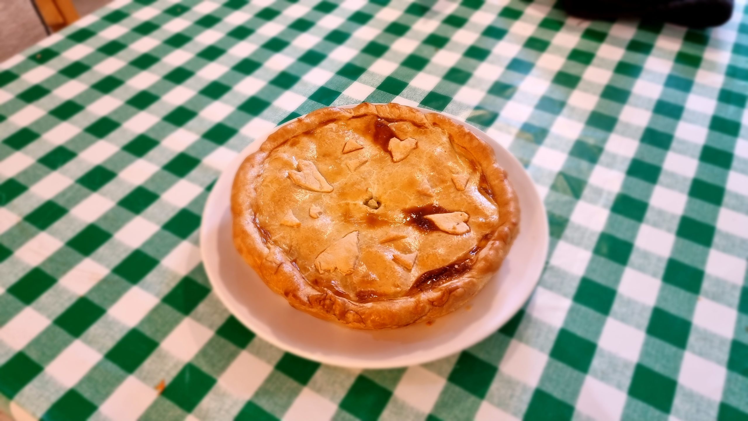
I tapped into my Lancashire heritage and had a go at making “butter pie”, a regional dish distinct to (pretty much) just Preston and Chorley.
This one turned out pretty well, but I’ve still got ideas about how I’ll improve for the next one.
8. Reunited again
Finally, Ruth and JTA returned from their mini-break and we got to do a few things together as a family again before our extended holiday drew to a close:
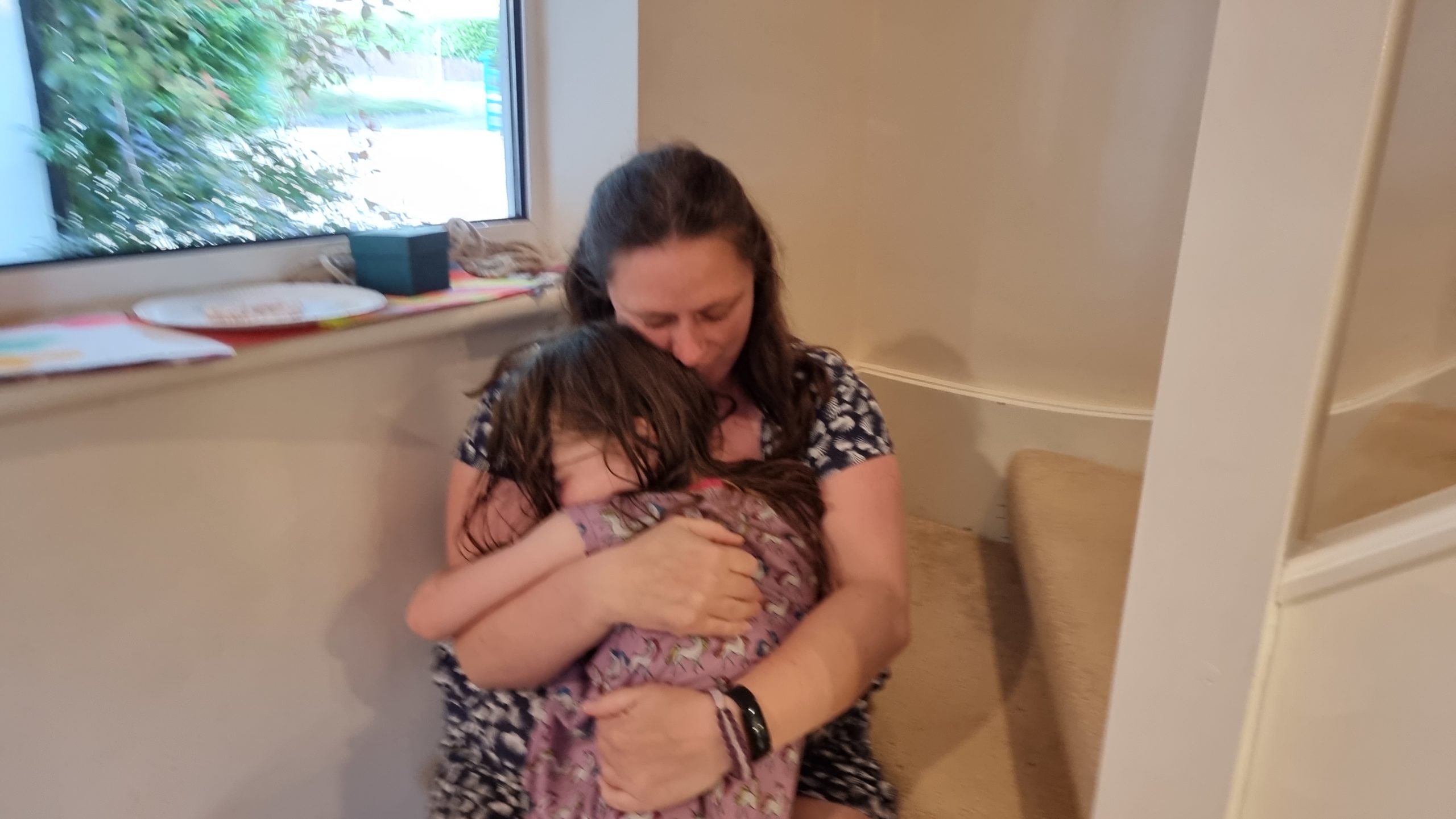
The children were glad to see mummy and daddy return.
Also, to explain everything that’d they been up to. (Possibly just as a ruse to keep from being sent to bed for a moment longer!)
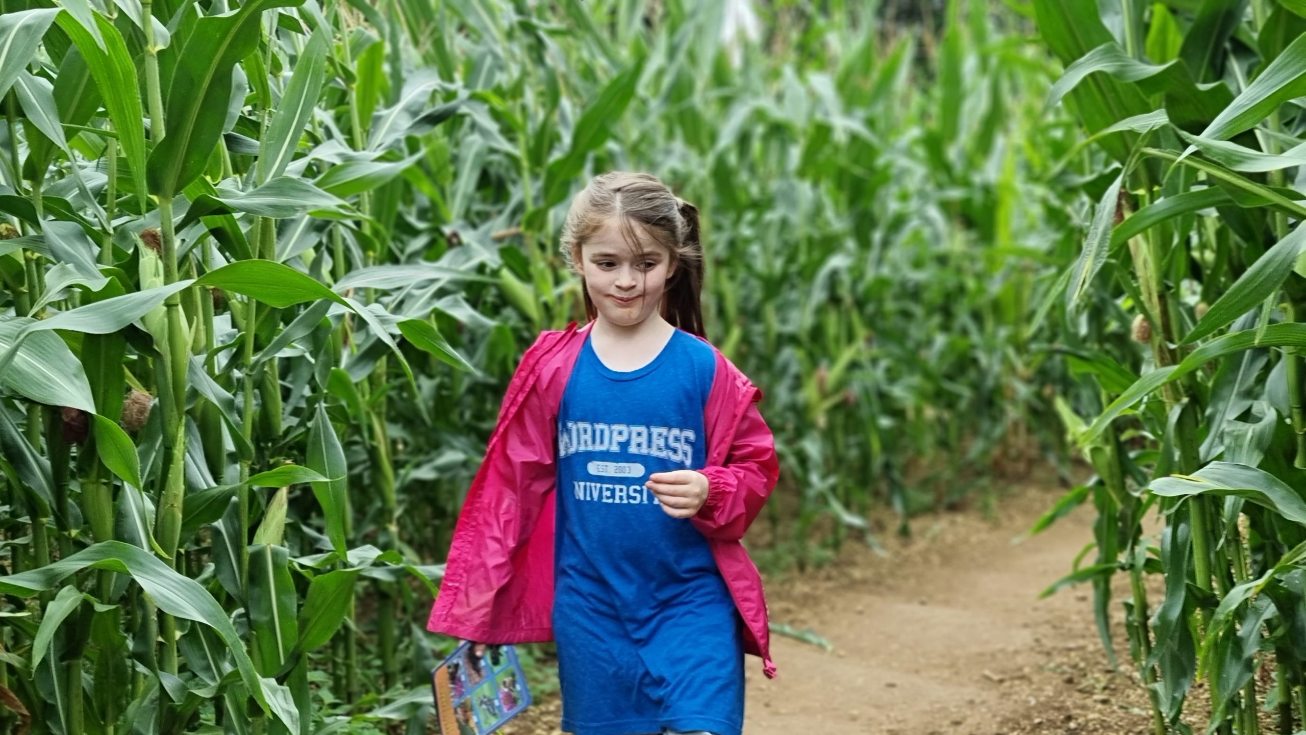
I specifically said, “Look like you’re NOT completely lost in this maize maze,” I swear.
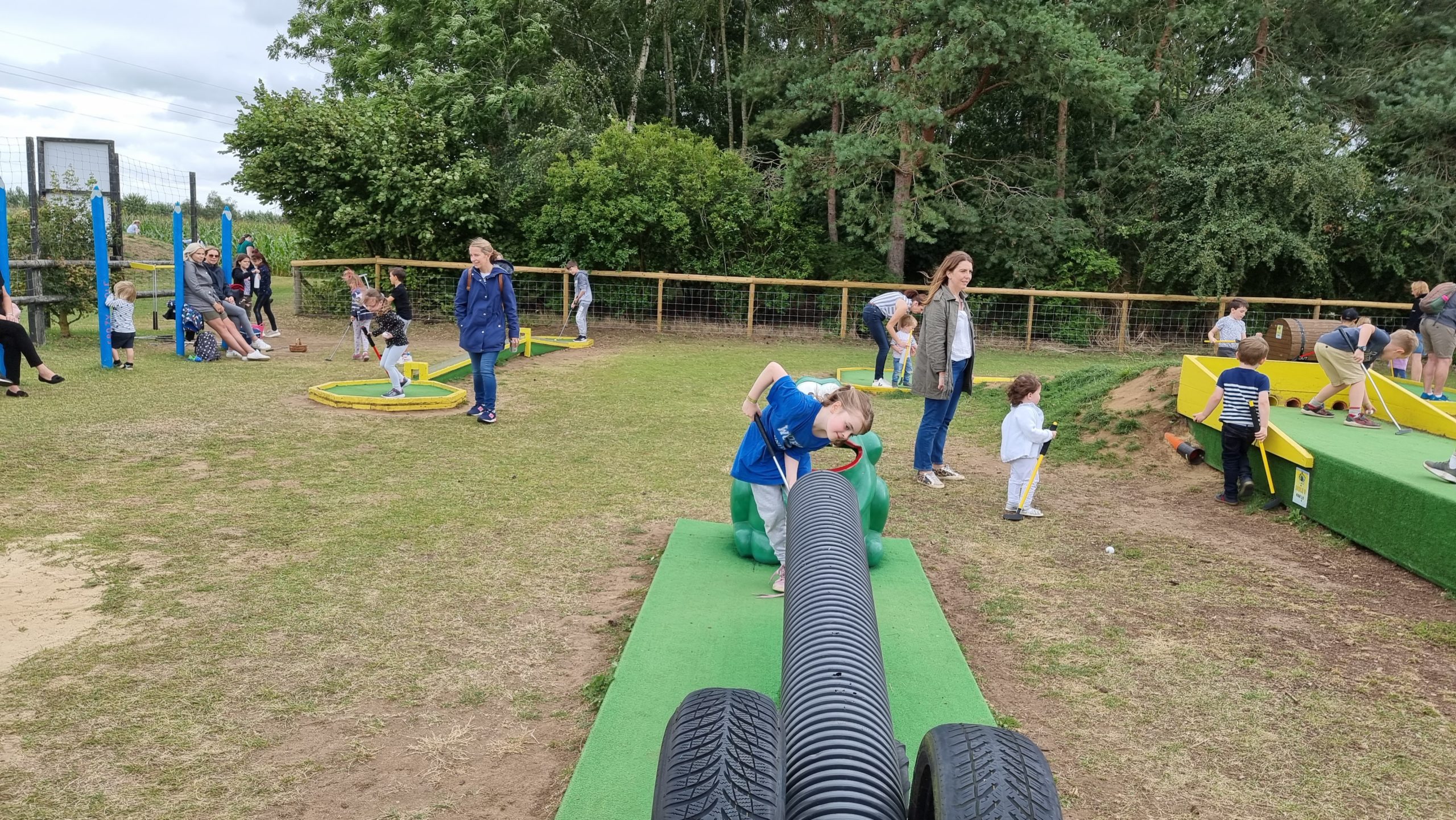
I feel like I’ve played a lot of crazy golf these last few weeks. This course was perhaps the second-craziest.
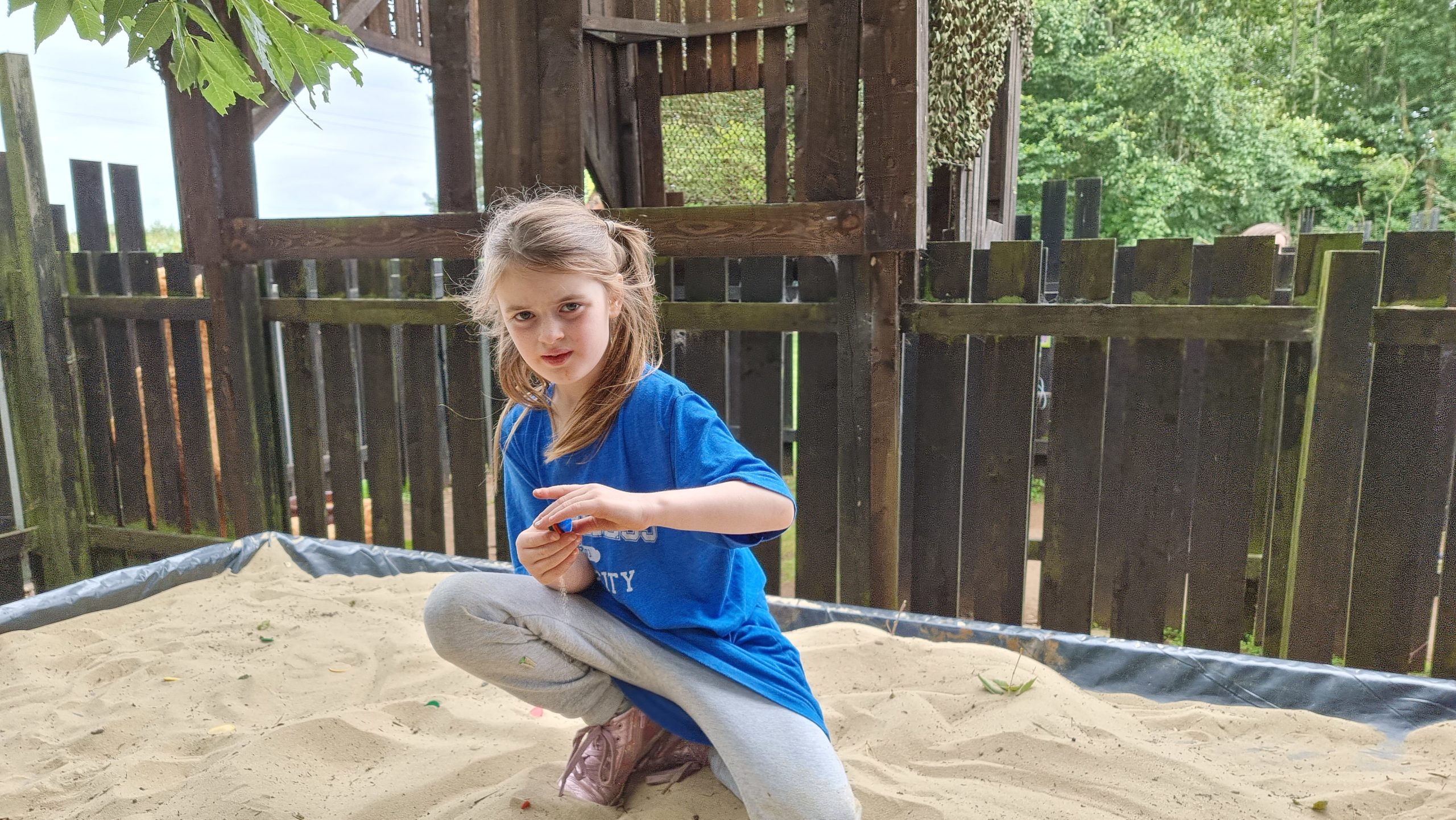
There was some kind of puzzle to solve in a maze. Then you had to dig in the sand to find a token of the right colour and put it in a box to show you’d solved it. I don’t know.
I’m not sure this angle of approach is going to end well.
Nice horse.
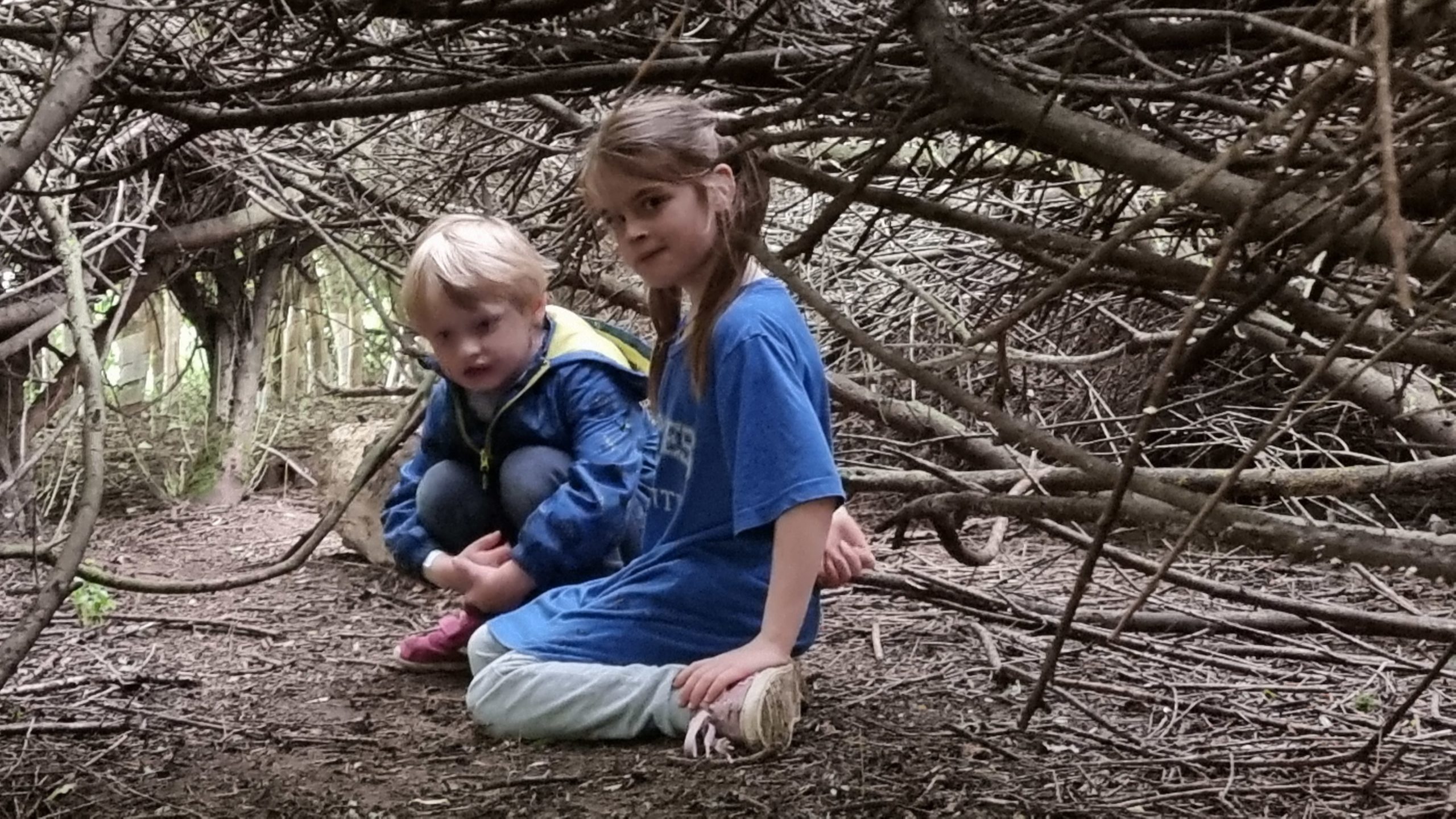
Den-building? Or poster art for some gritty new Netflix series?
“I’m being a bat.” She hung there for some time, greeting other children as they entered her “cave”.
“Smile!” “Wait… what’s in your mou-?” [click]
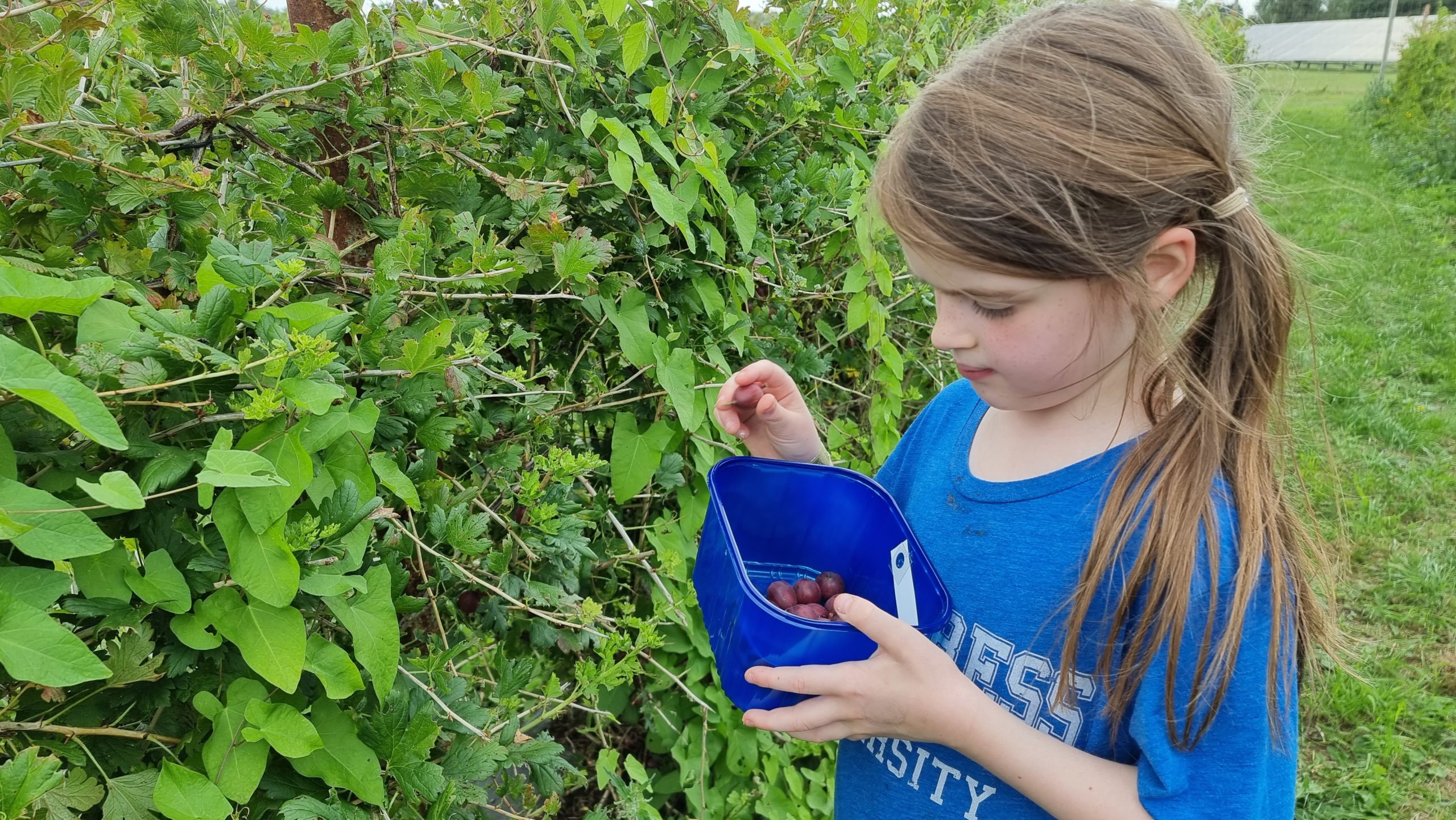
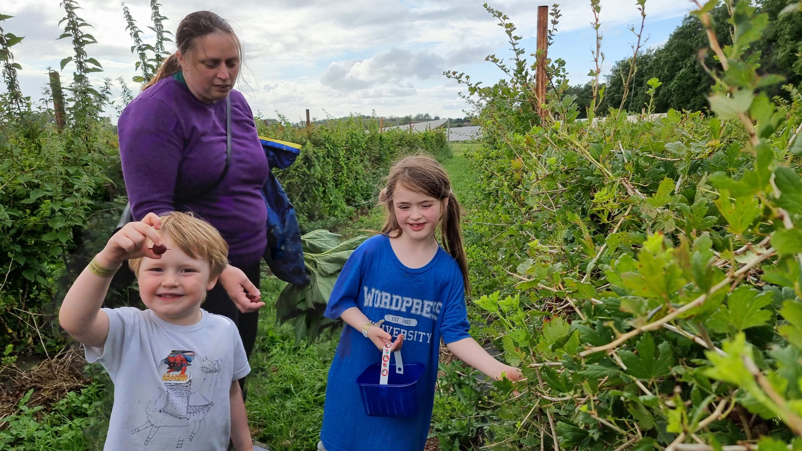
Gooseberry-picking.
The gooseberries later made a great reduction to go on our Sunday brunch pancakes. Except for all the ones the kids ate before then.
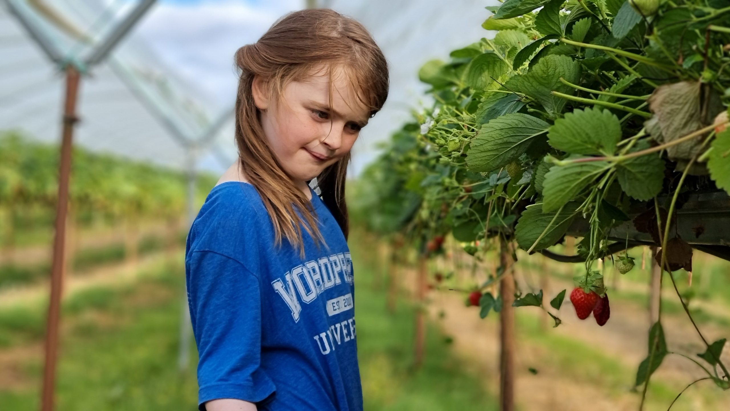
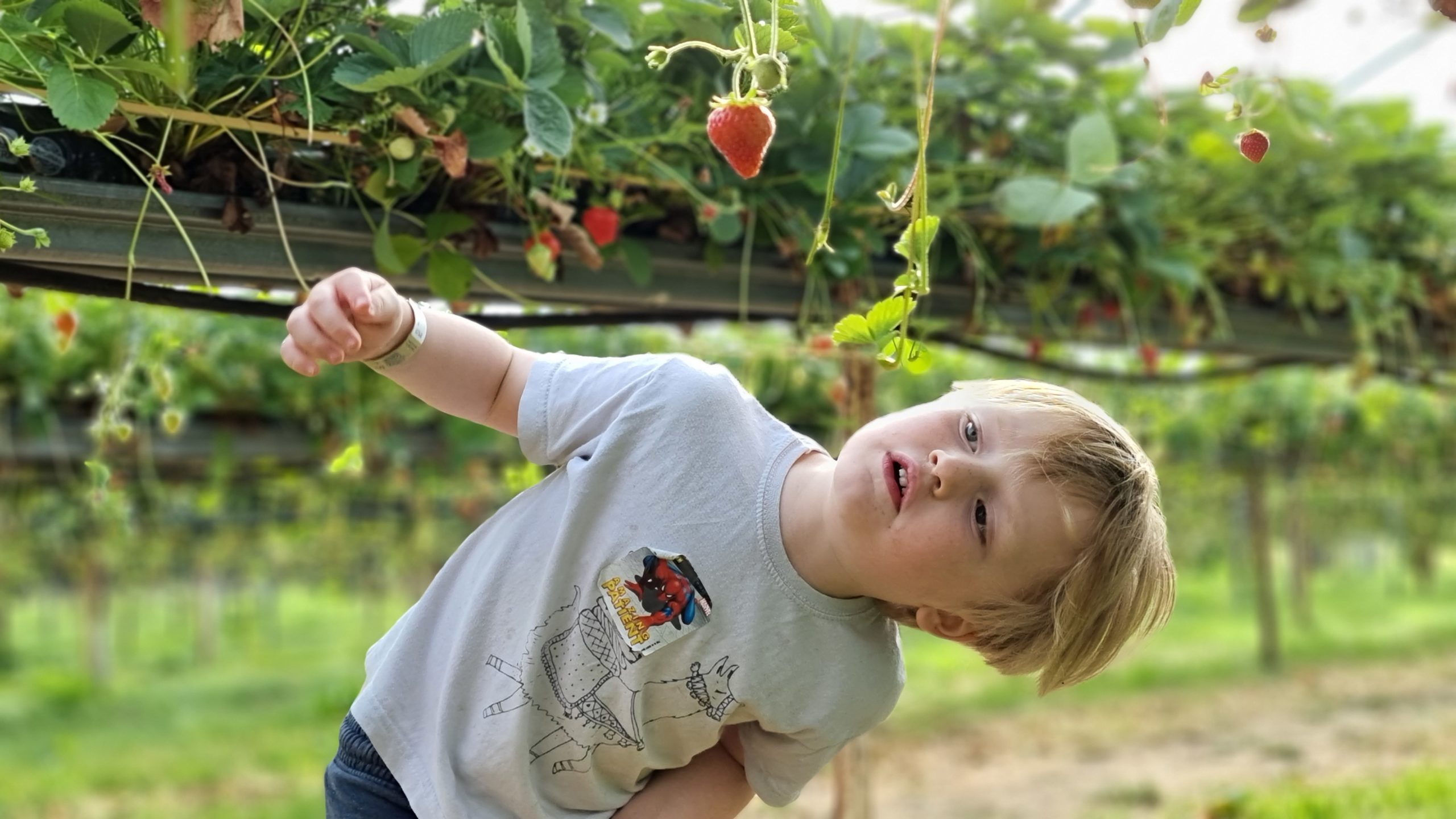
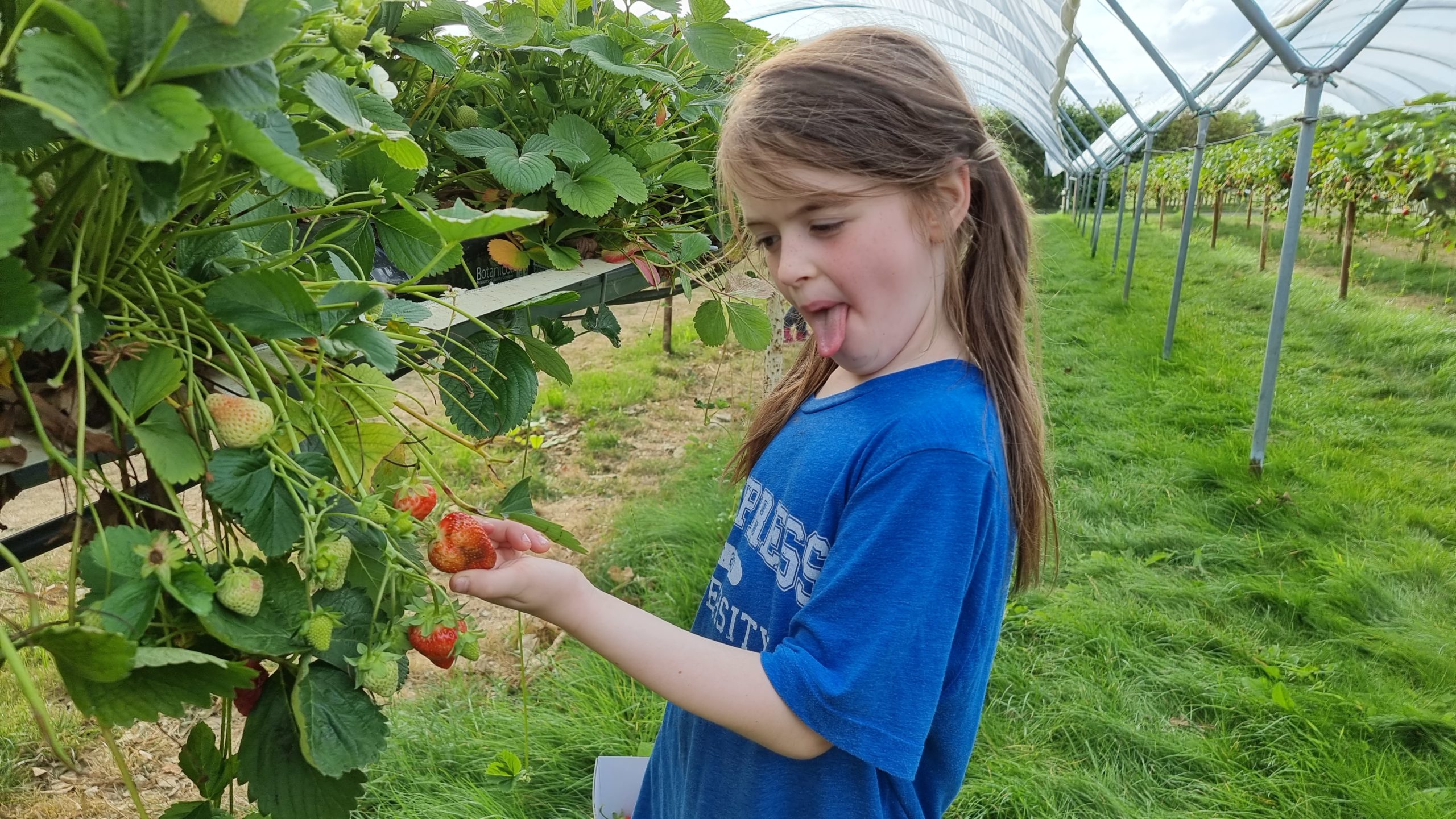
Choosing exactly the right strawberry requires significant mental effort.
You need to check the fruit from every side before picking it.
This one failed quality control.
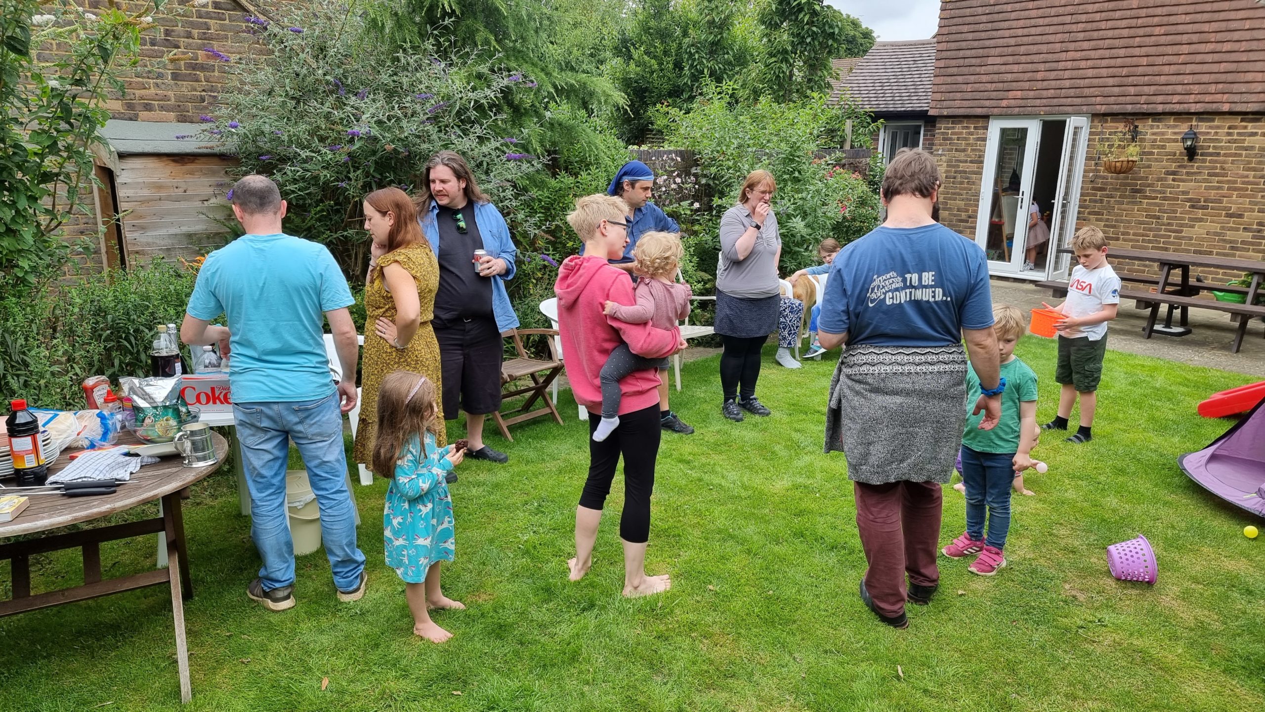
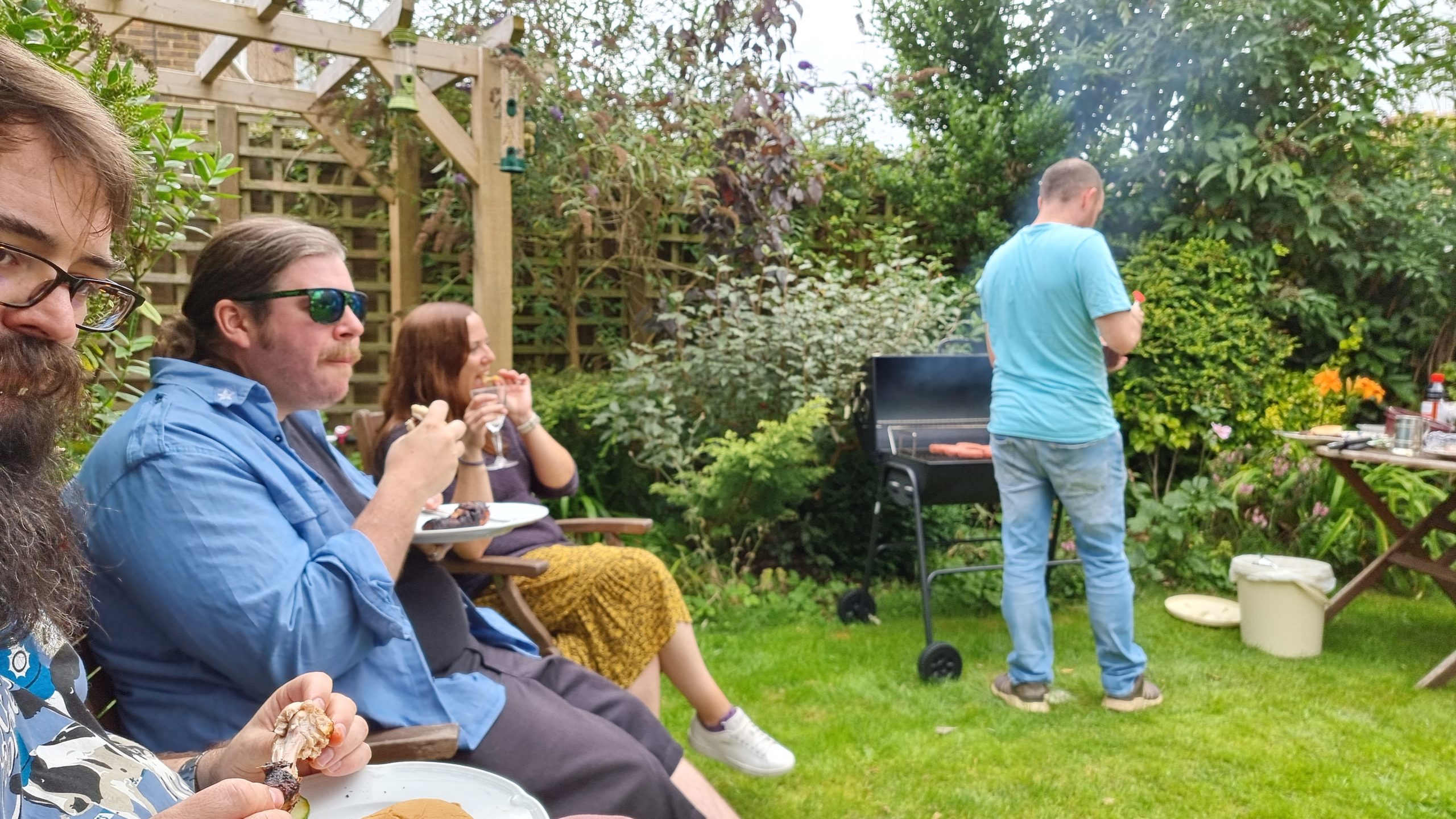
We got to go to Liz & Simon’s barbecue party and it was awesome to catch up with everybody.
Plus there are a few new faces in our friend group who I hadn’t had a chance to meet before.
Making (and re-making) friends is so much easier as a child.
For us adults, though, sharing food and alcohol goes a long way.
“It’s smokey over here.” “By the barbecue, yes.” “Why?”
It’s amazing how a toy designed for somebody WAY younger than you is fascinating if it’s just different enough from one you have at home. Novelty wins.
She came here to kick ass at Pokemon and eat your burgers. And you’re all out of burgers.
The fruits we picked earlier in the week made a great addition to a cake.
Of course, we were SUPPOSED to be at Fairport’s Cropredy Convention this weekend, until it was cancelled for the second year in a row. But we still enjoyed Fairport’s livestream
mini-concert.
We adults felt too old and/or self-conscious to dance in our living room, but the kids had no such limitations.
By the end of the virtual concert we were all ready to flump into bed.
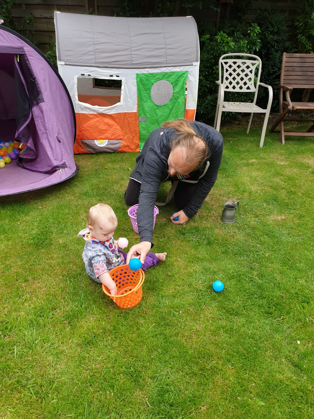
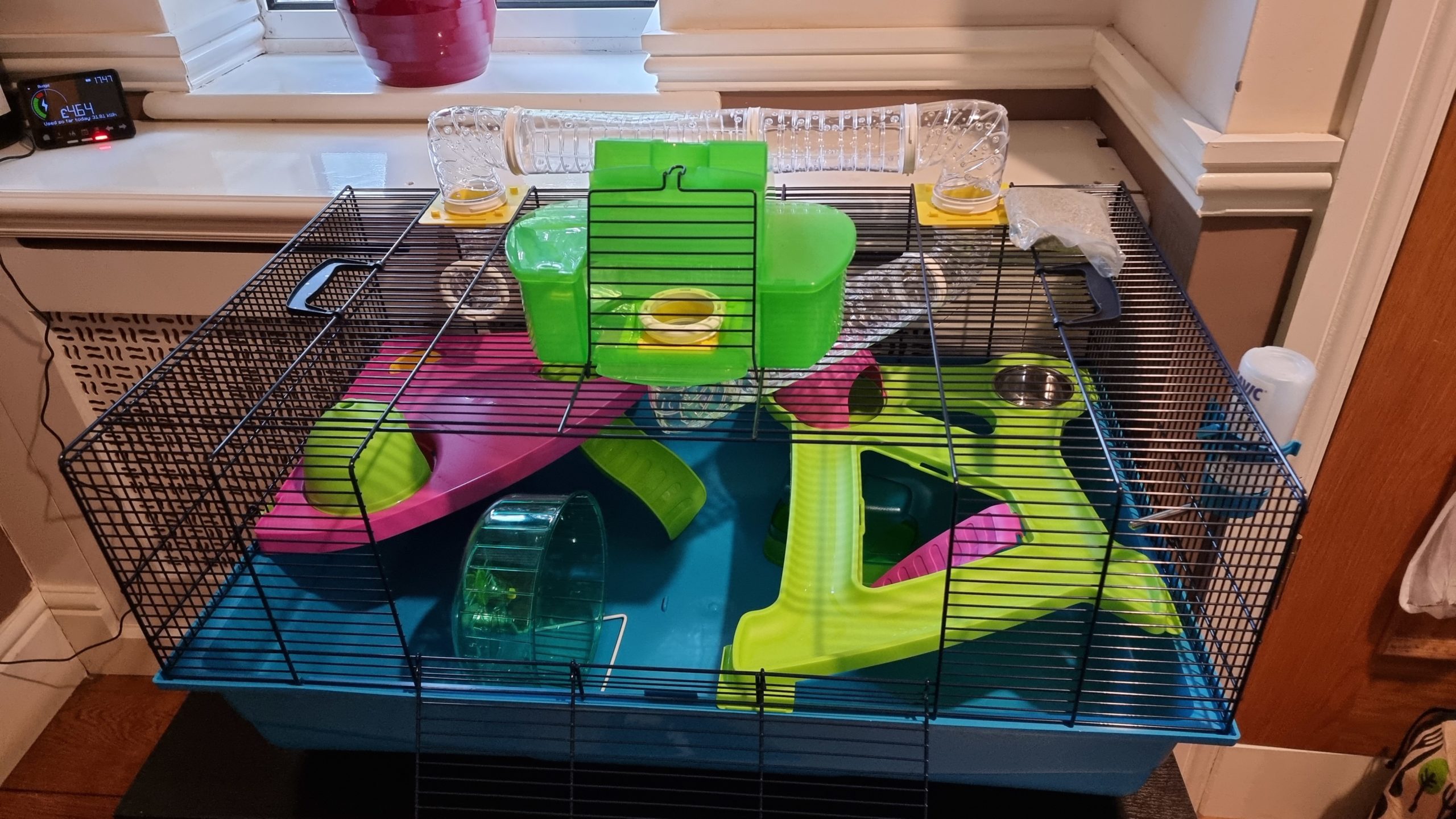
We built an enclosure for a new pet we’re expecting in the coming week (the kids’ first pet; let’s see how that goes…).
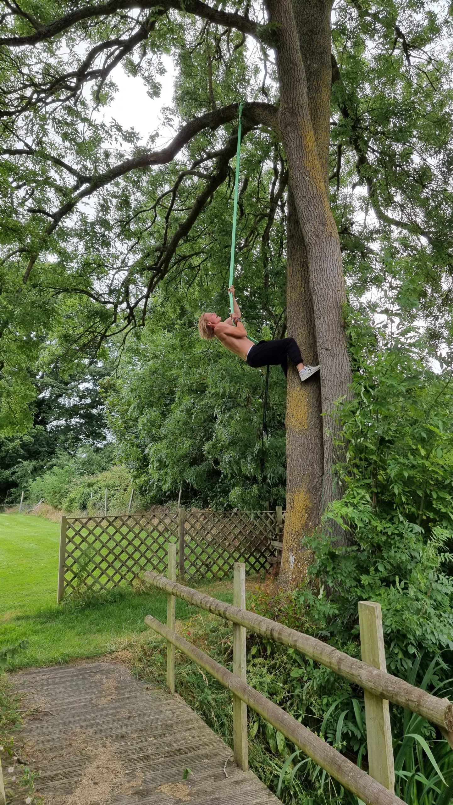
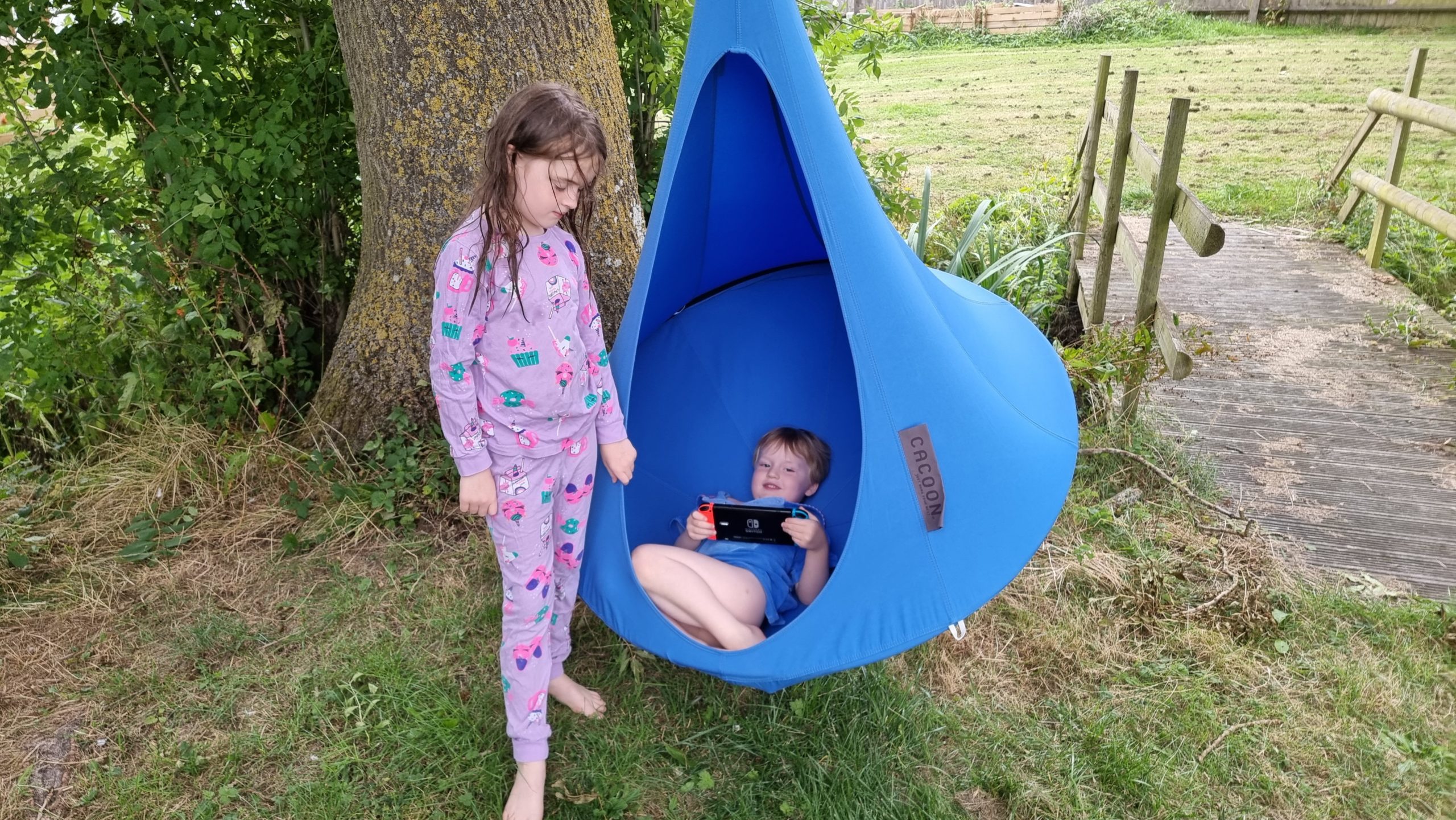
Robin (and Owen – now recovered but not featured in this picture) – were instrumental in helping us run some ropes over a high bough of one of our garden’s trees…
…to facilitate the installation of a wonderful new ‘nest swing’ Ruth had bought the kids but that they’d not really been able to use until now.
9. Back to work?
Tomorrow I’m back at work, and after 23 days “off” I’m honestly not sure I remember what I do for a living any more. Something to do with the Internet, right? Maybe ecommerce?
I’m sure it’ll all come right back to me, at least by the time I’ve read through all the messages and notifications that doubtless await me (I’ve been especially good at the discipline,
this break, of not looking at work notifications while I’ve been on holiday; I’m pretty proud of myself.)
But looking back, it’s been a hell of a three weeks. After a year and a half of being pretty-well confined to one place, doing a “grand tour” of so many destinations as a family and
getting to do so many new and exciting things has made the break feel even longer than it was. It seems like it must have been months since I last had a Zoom meeting with a
work colleague!
For now, though, it’s time to try to get the old brain back into work mode and get back to making the Web a better place!
When I first placed this cache I failed to accommodate for how high the river might get during summer floods. I’d chained it to the bridge to help stop it from disappearing, but that
instead introduced a new problem: after a flood it’d be left hanging in a highly-visible spot and attract muggle vandalism. The net result is I’ve had to retire this cache.
Visited to check on this container and can confirm that it’s completely seized and unopenable. The end cap that used to provide it with cover (and a hiding place for a pencil) is gone,
too, and this (combined with the fact that I no longer live around the corner) feels like a sign that this one needs archiving.
Following a run of DNFs I drove over here to check on this cache but it is indeed missing. As this location is no longer in walking
distance of my home I’m retiring it to free up what is a pretty convenient hook for some other cacher!