This checkin to geohash 2020-02-21 51 -1 reflects a geohashing expedition. See more of Dan's hash logs.
Location
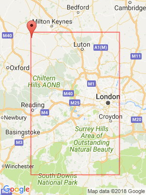
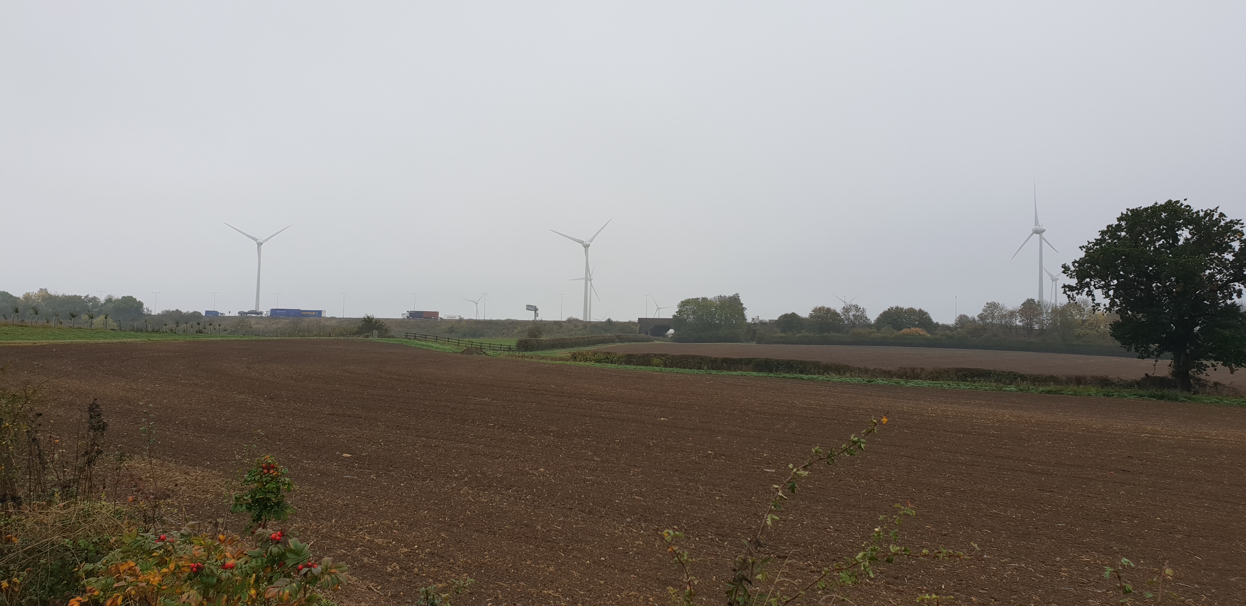
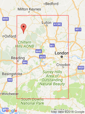
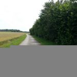
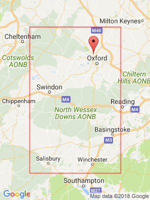
North end of the village of Curbridge in Oxfordshire. Street View and satellite photography shows it as being alongside a nondescript road, but I’m aware that there’s a housing estate under construction nearby and there’s a new roundabout which appears on maps but not on satellite views which was constructed nearby last year: I’m hoping that the location is still accessible.
Participants
Plans
I don’t know whether I’ll be able to make it to this hashpoint; it depends on how work goes as well as the weather (while I’m not directly in the path of Storm Dennis I’m still in an area that’s getting lots of wind and rain). I’m not committed yet to whether I’d drive or cycle: it depends on how long I can spare, whether the car’s available for my use, and – again – the weather (I’d prefer to cycle, but I’m not going to do it if it means I get completely soaked on my lunch break).
Okay: I need to vacate my house anyway because some estate agents are bring some potential buyers around, so I’m setting out to the hashpoint now (12:20) after which I’ll aim to work in a coworking space for the afternoon. Wish me luck!
Expedition
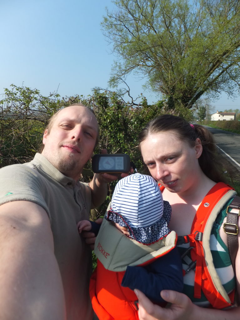
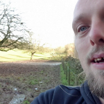
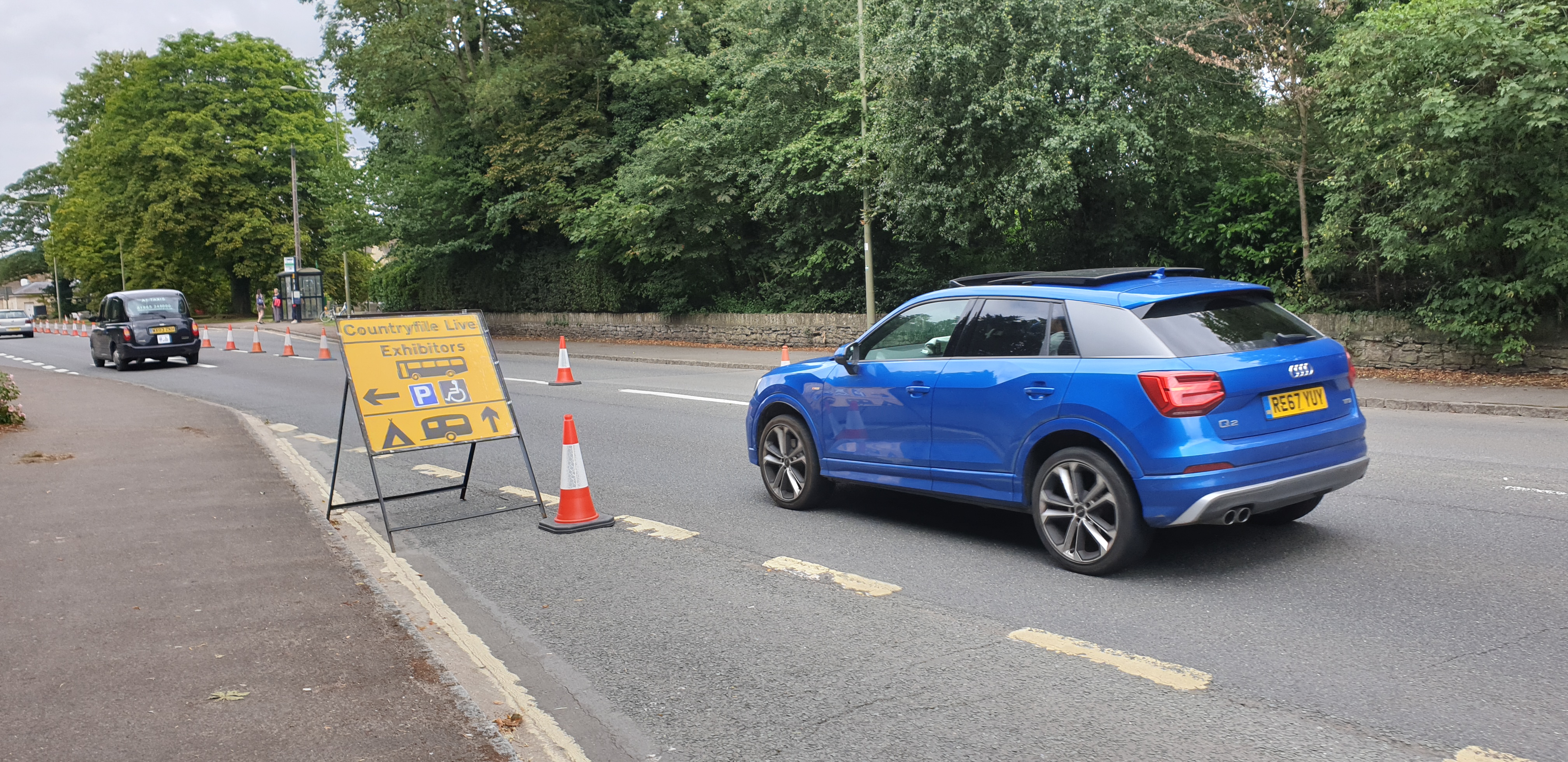
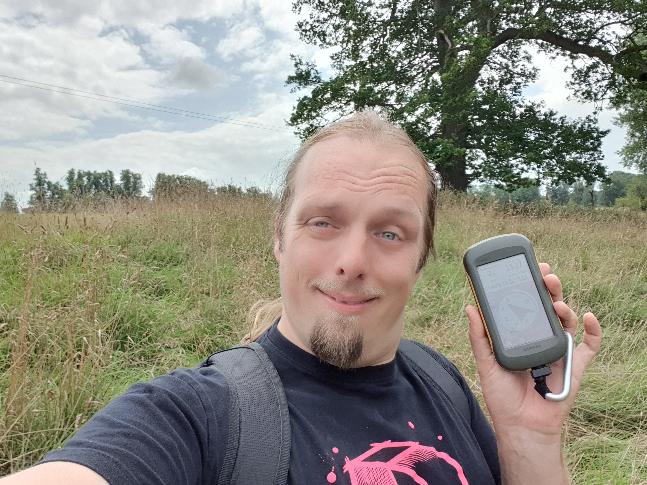
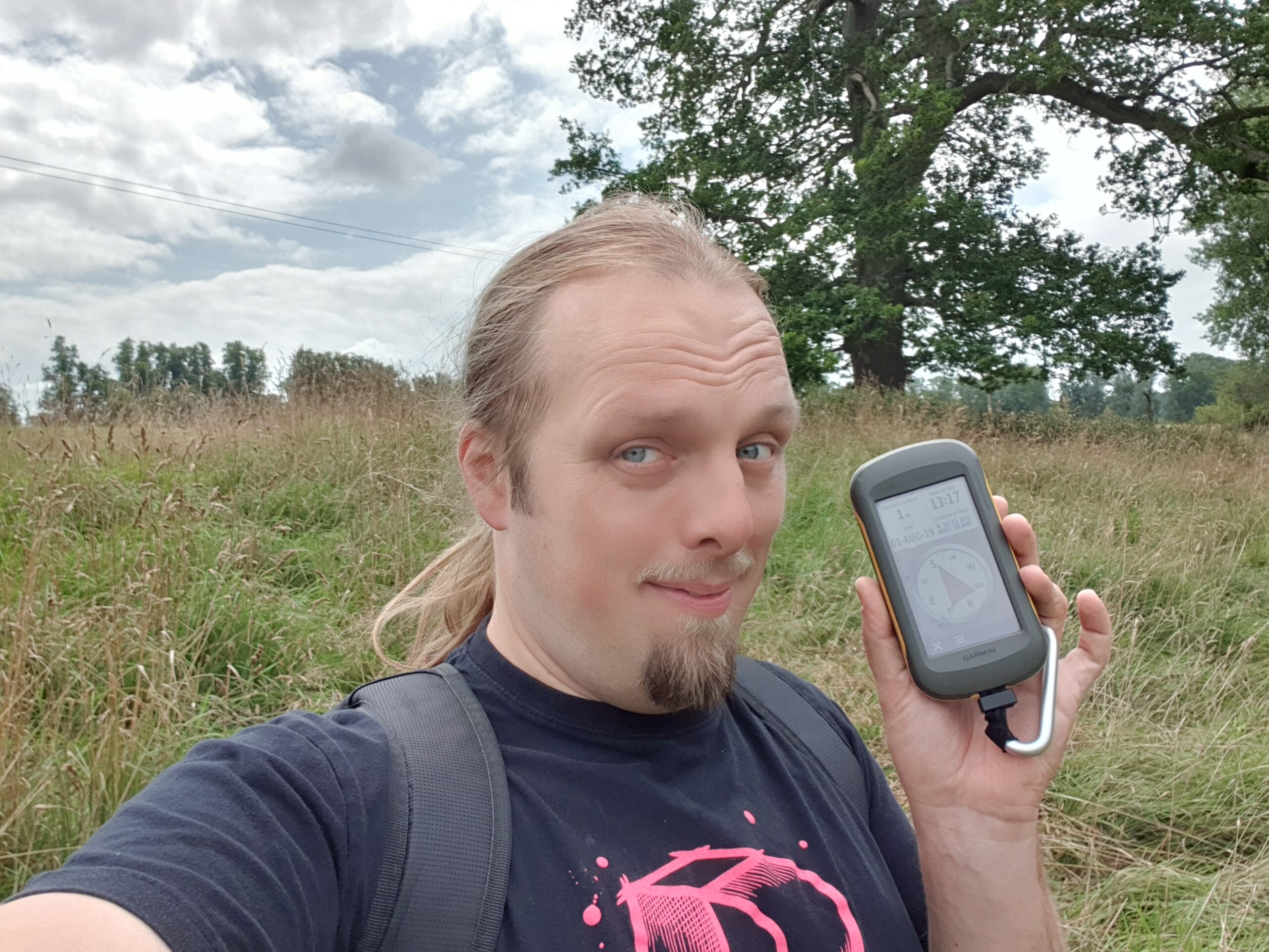
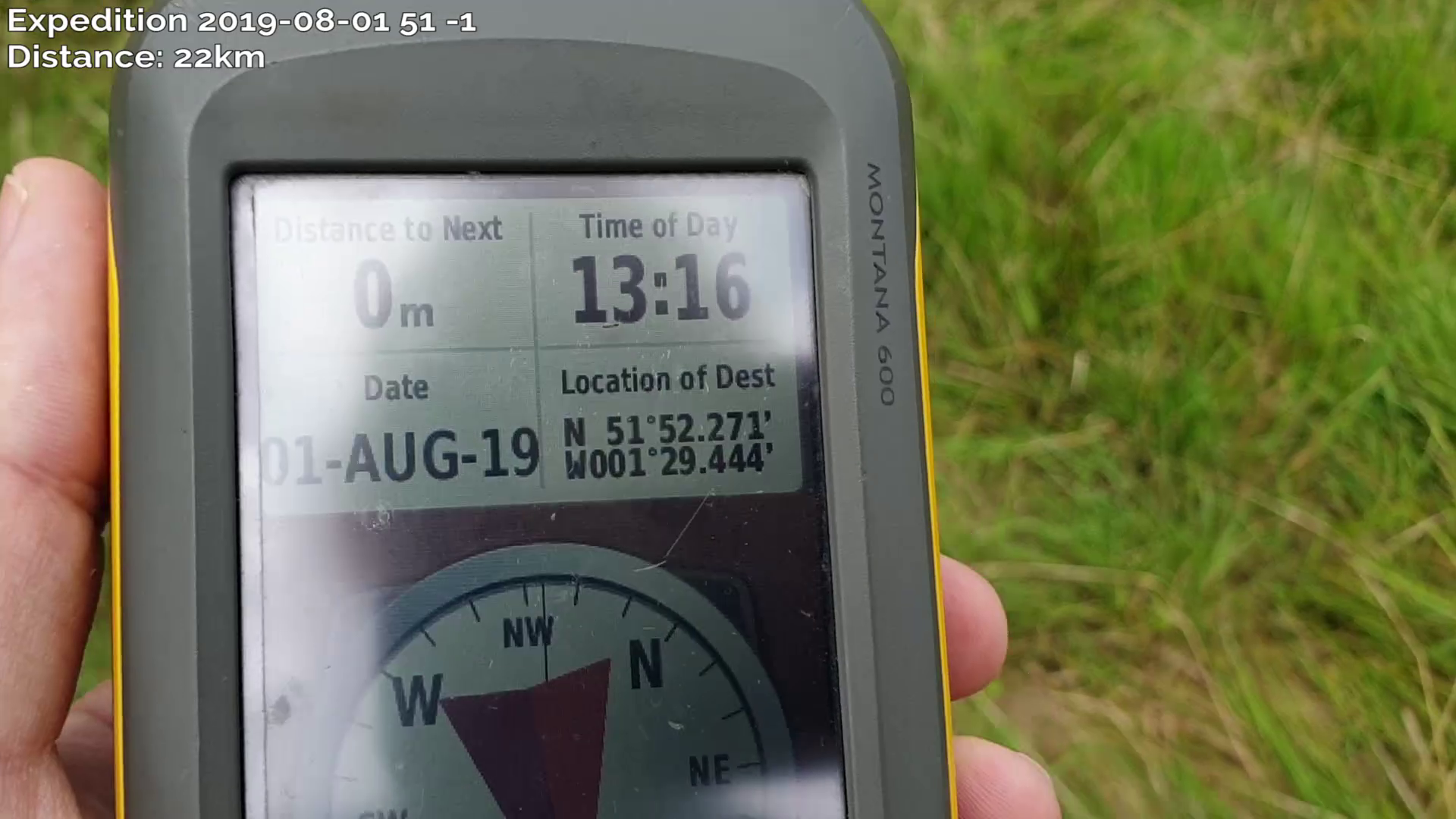
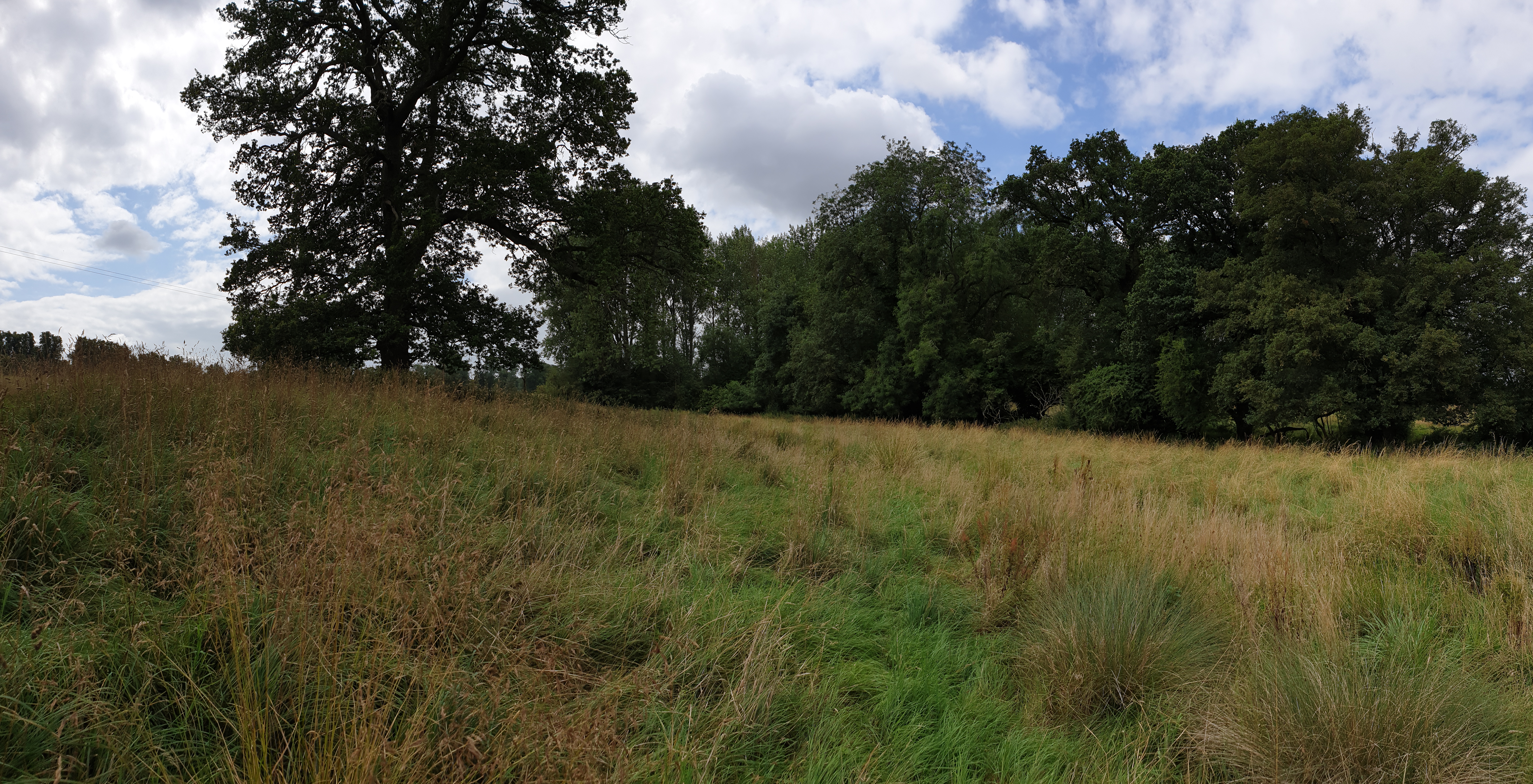
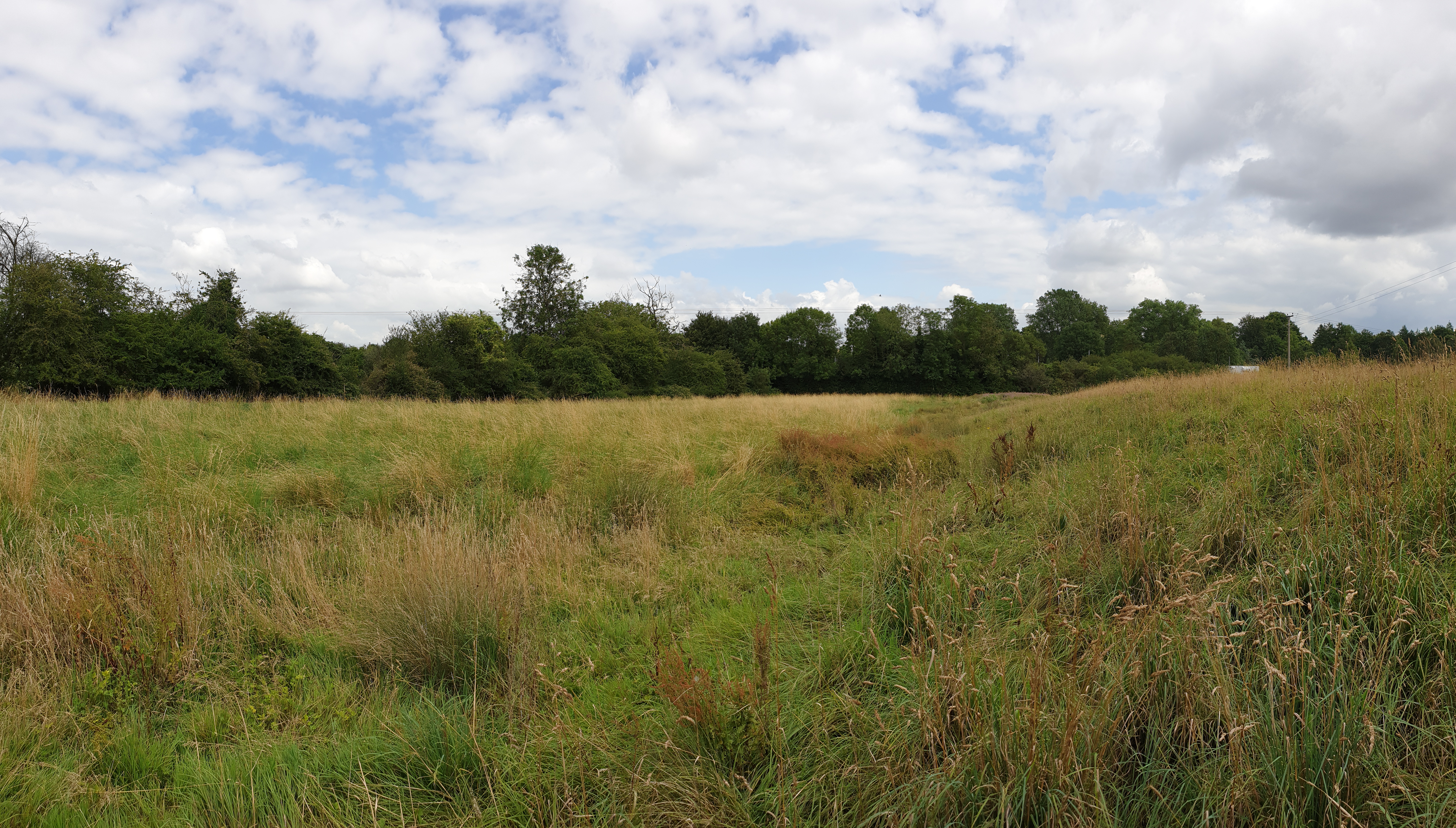
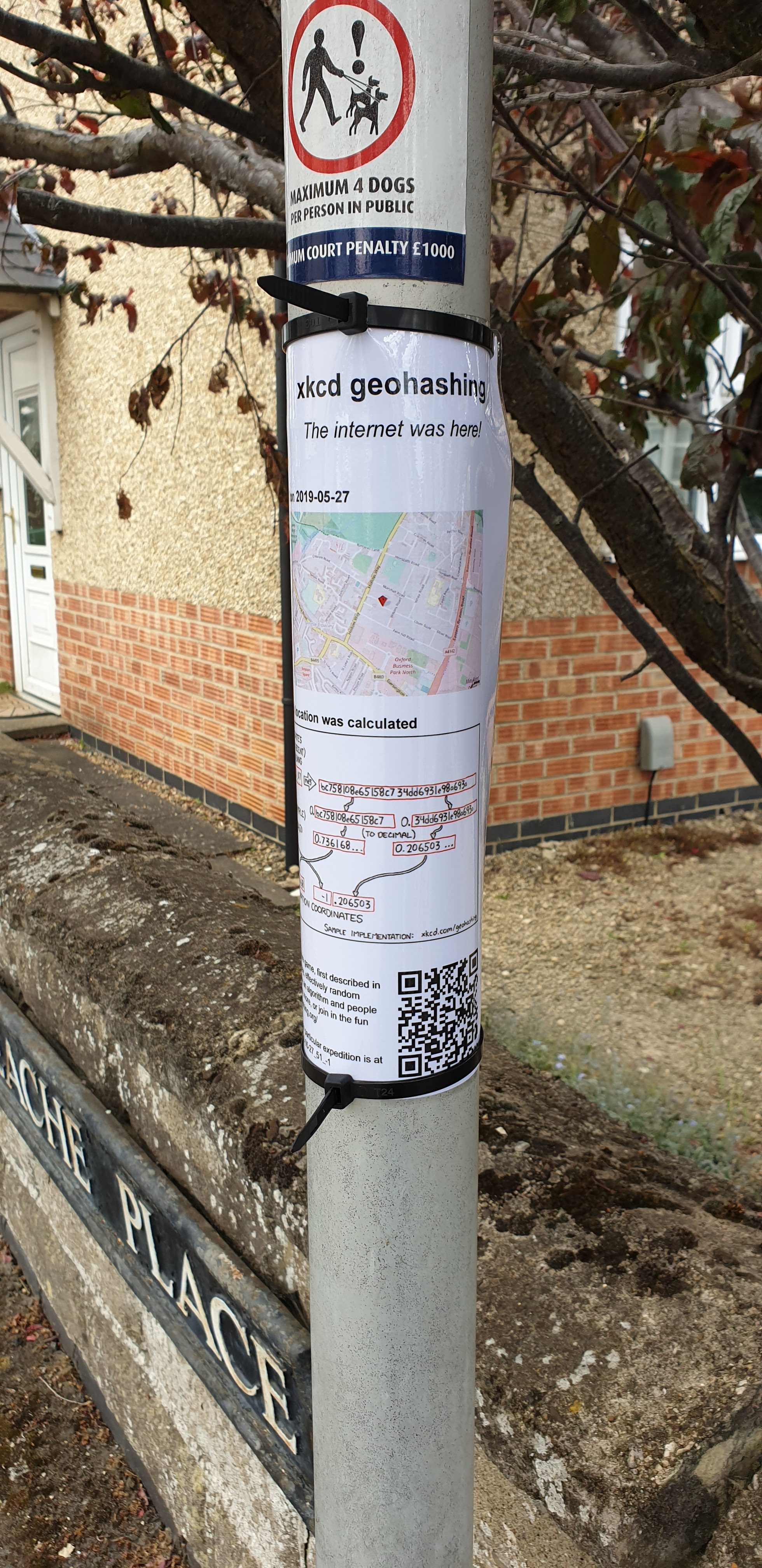
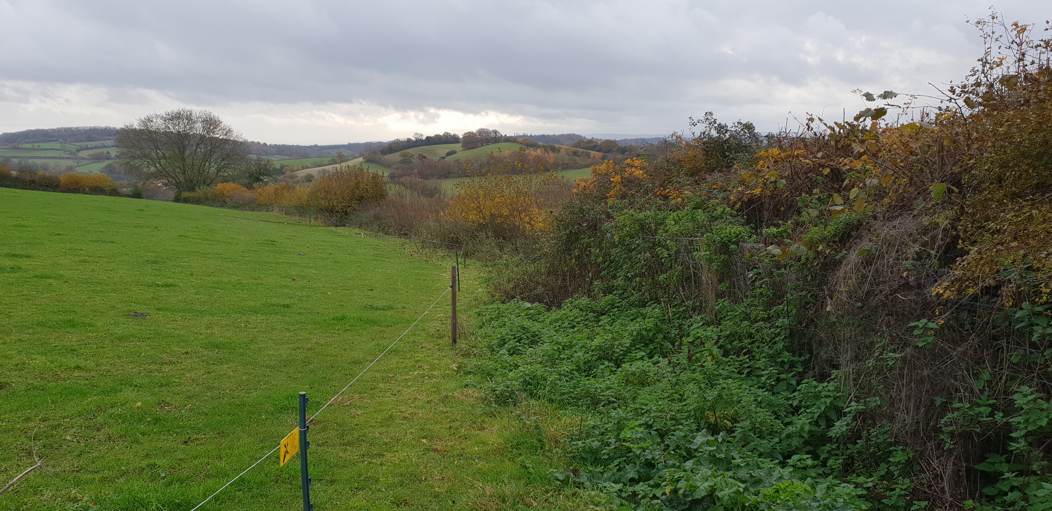
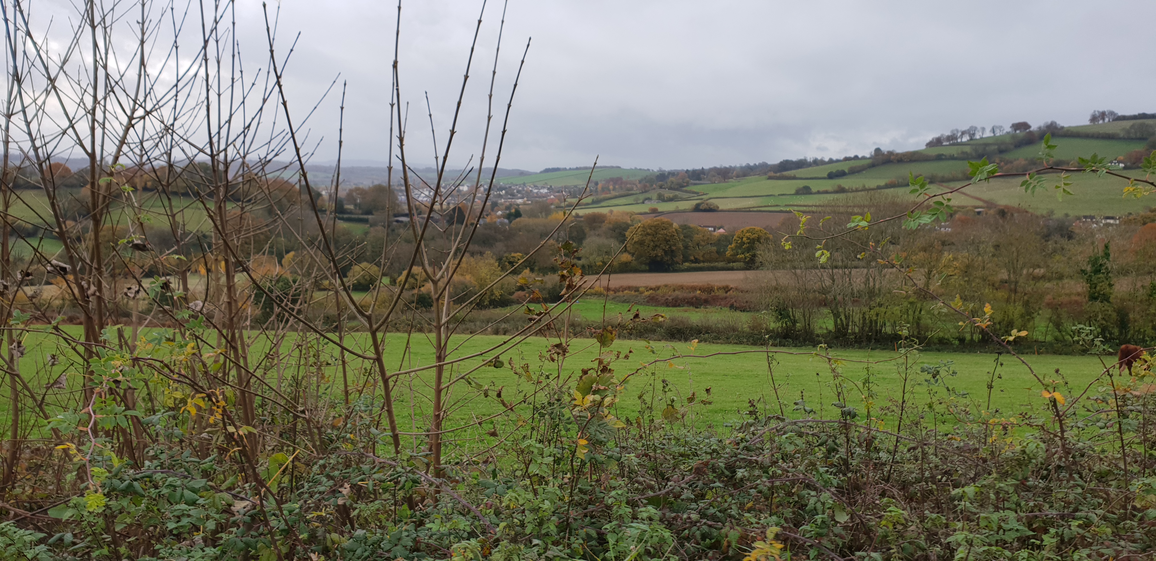
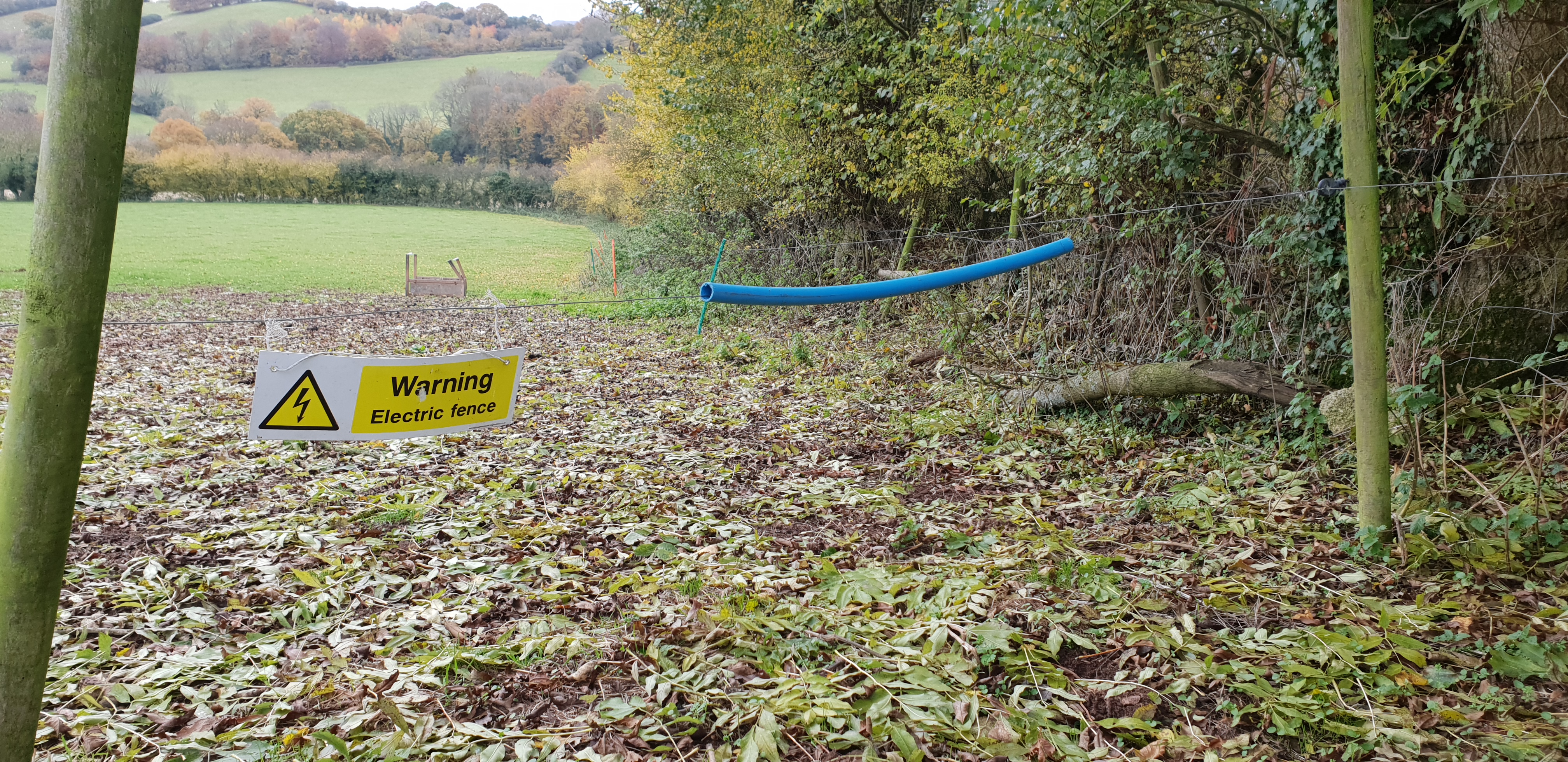
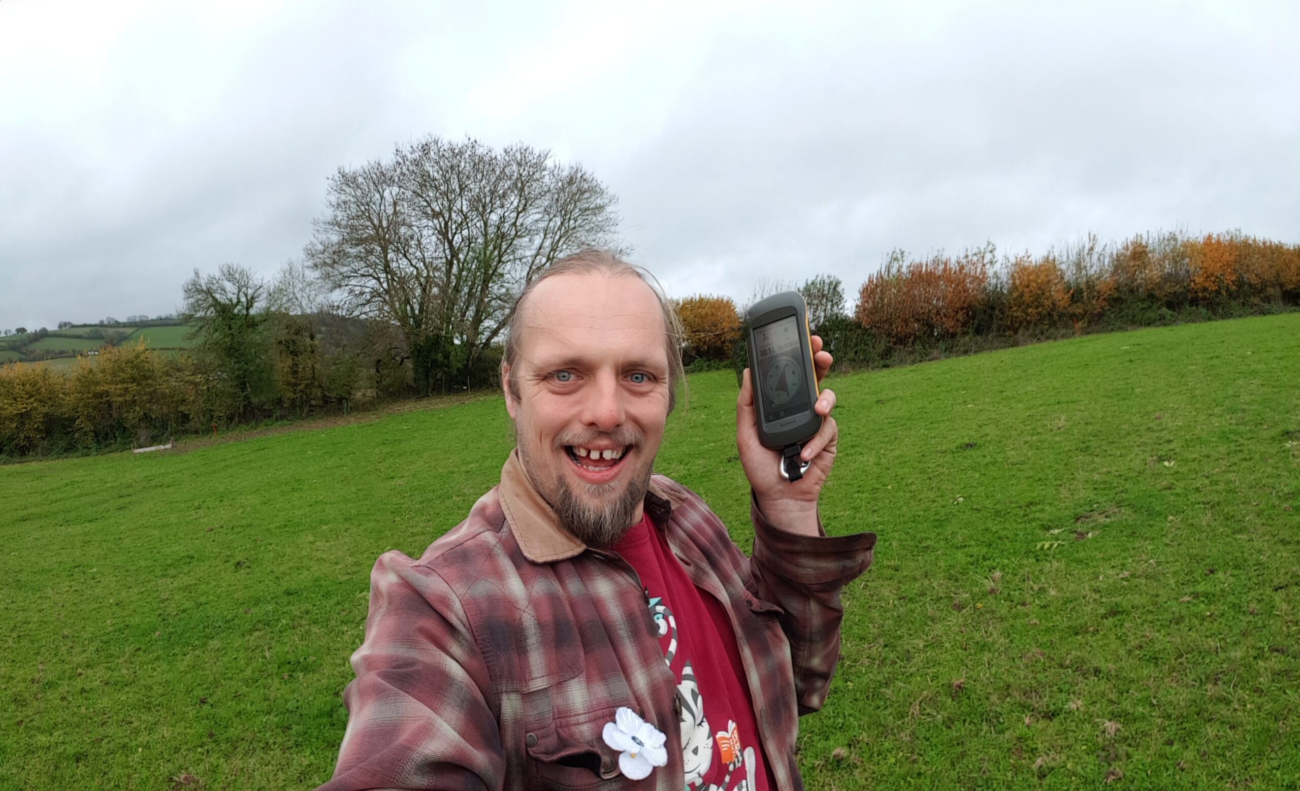
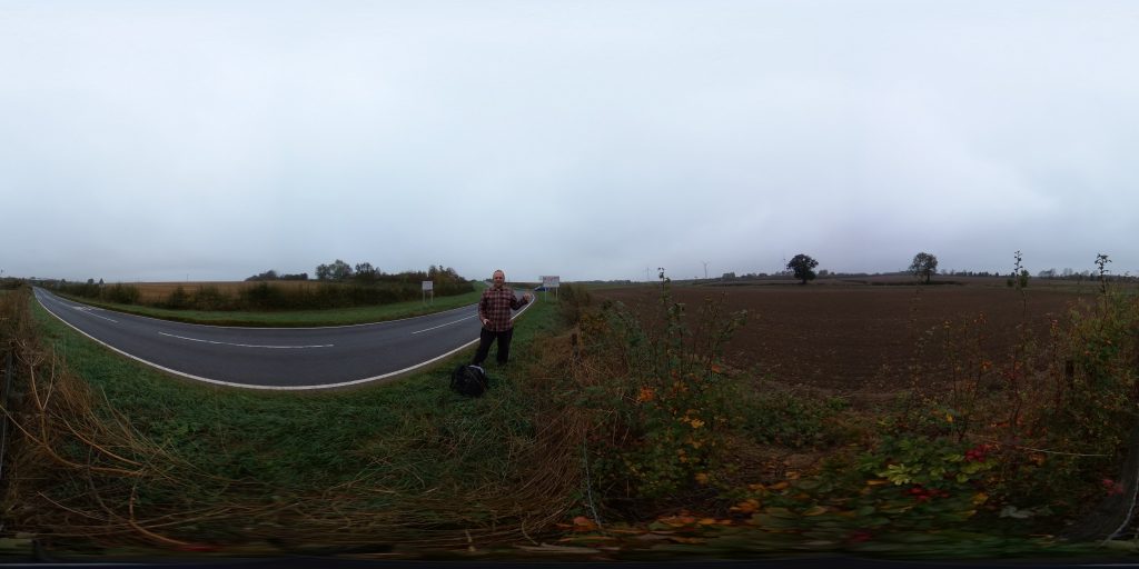
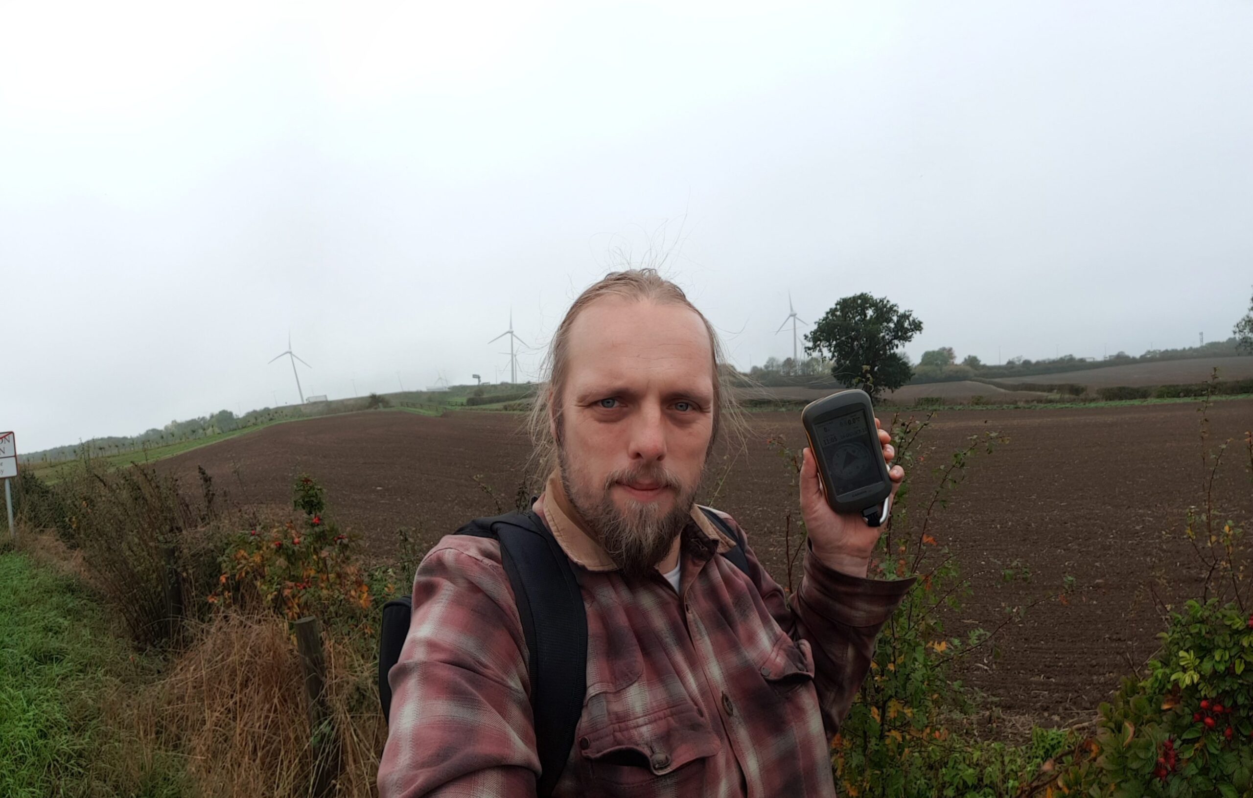
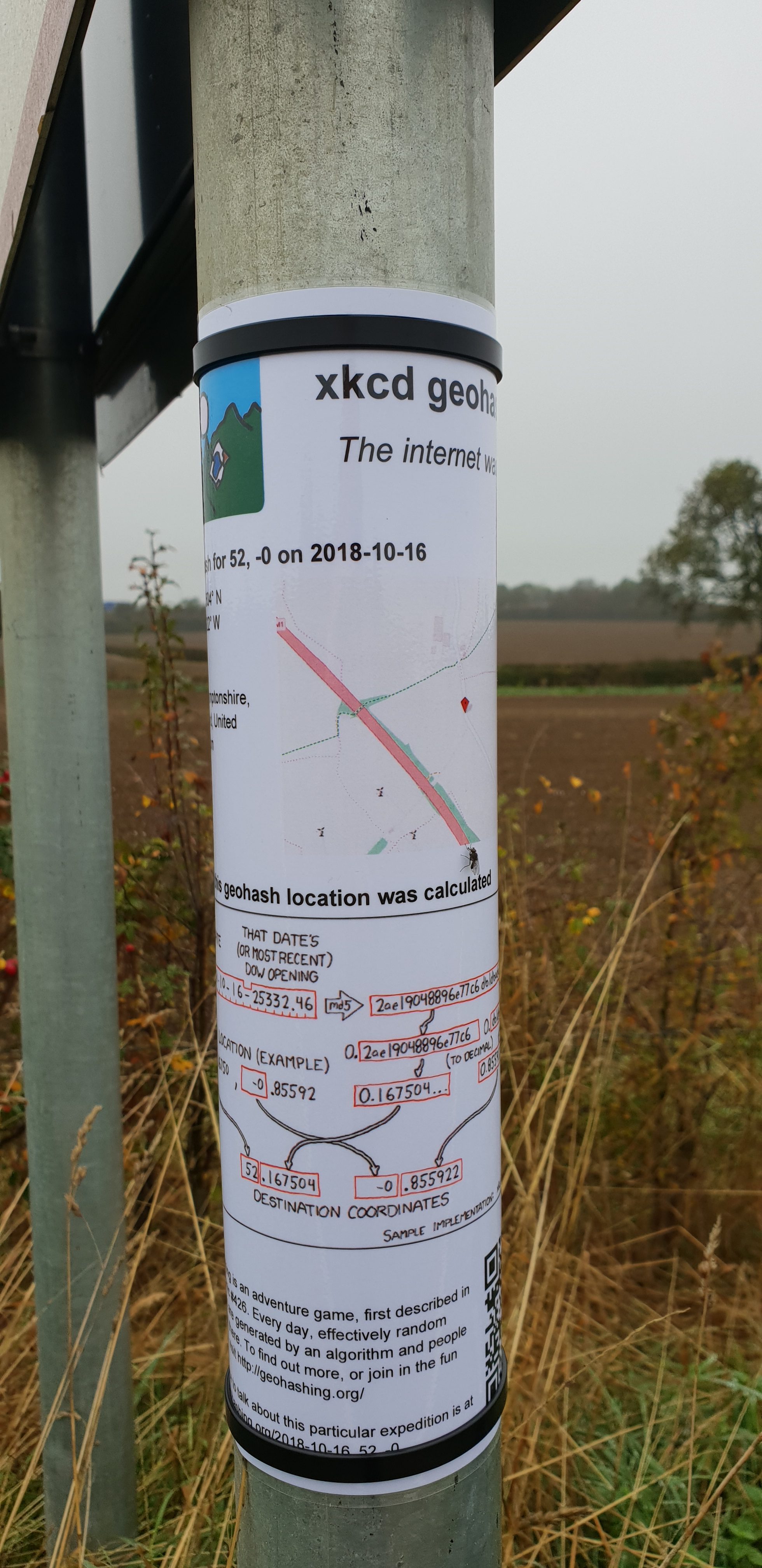
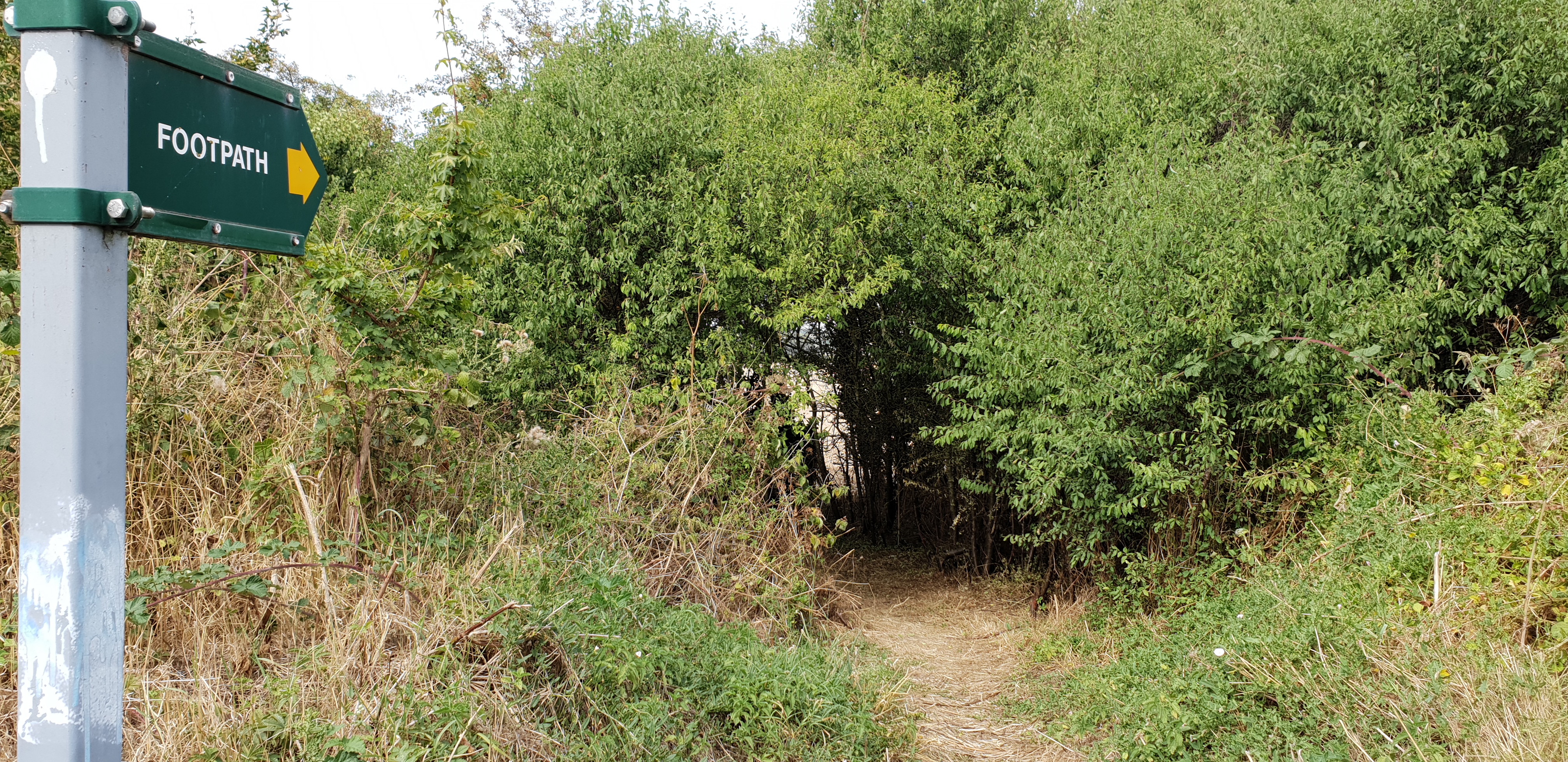
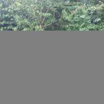
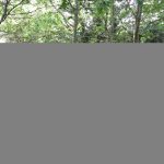
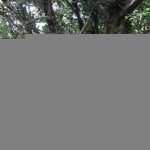
I drove out to the village of Curbridge and parked in a lane, then walked to the hashpoint, arriving about 13:05. Conveniently there’s a pole (holding a speed detecting sign) within a metre of the hashpoint so I was able to attach a “The Internet Was Here” sign in accordance with the tradition. Then I made my way to a coworking space half a mile to the North to carry on with my day’s work.
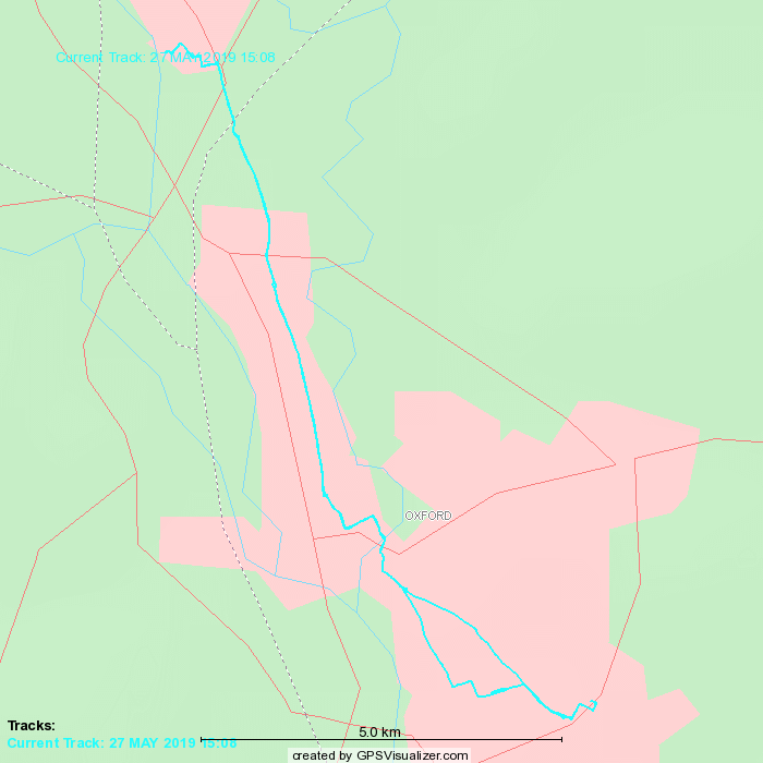
Tracklog
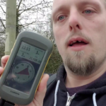
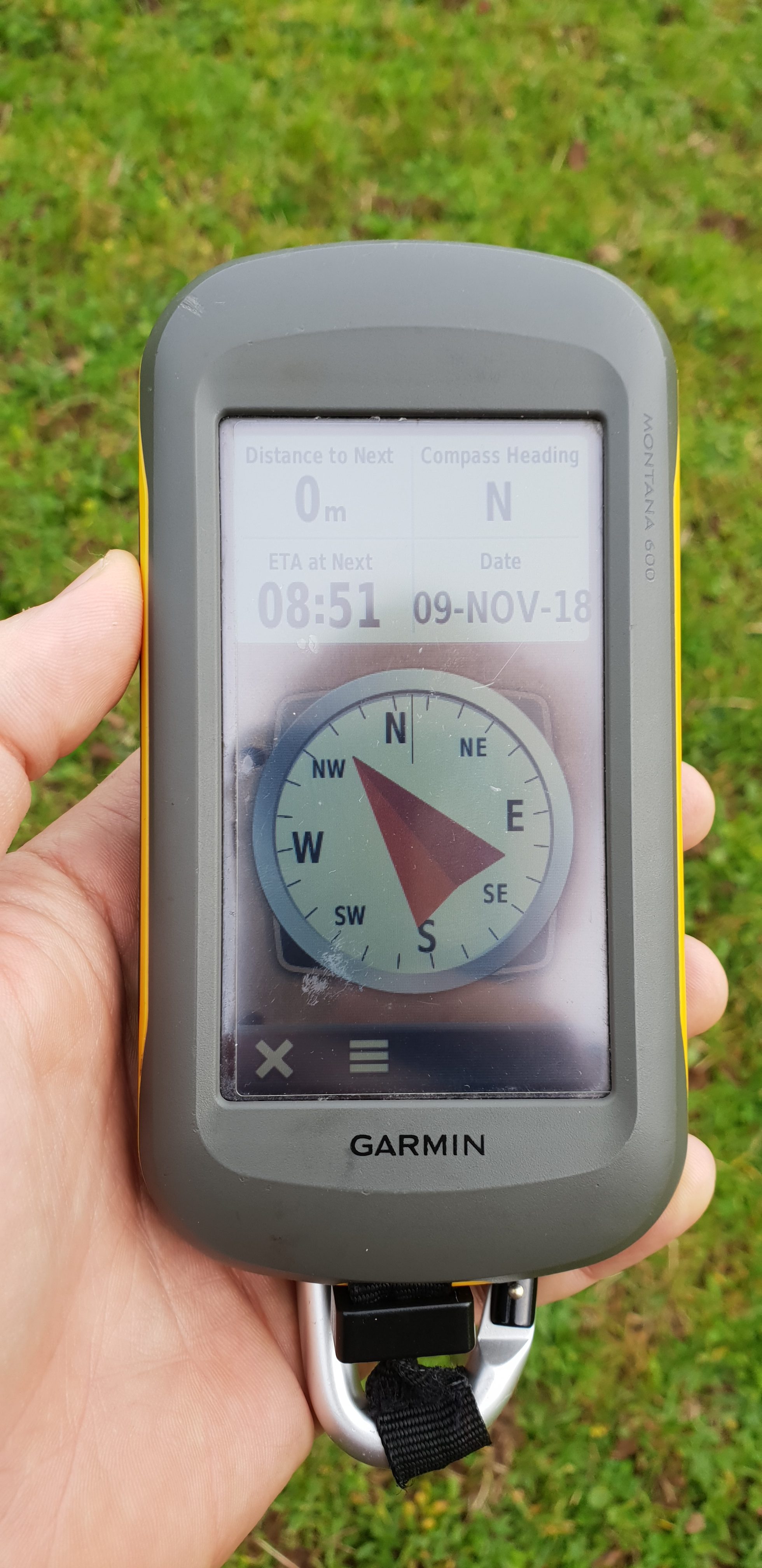
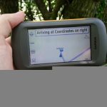
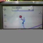
My GPSr keeps a tracklog:
- Obtained, but I didn’t bring the right cable to the coworking space so I can’t get it yet. [to follow]
Video
You can also watch it at:
Photos


 A Easter Bank Holiday weekend: what a perfect time for geohashing: and not just because of the warm weather and the
fact that you can plan your expedition an extra day in advance, thanks to the exchange closures! No, it’s a great time especially because today’s hashpoint was a mere 300 metres from my
house, as the crow flies (though the crow, at least, didn’t have to work his way down to to the bridge over the canal in order to get there).
A Easter Bank Holiday weekend: what a perfect time for geohashing: and not just because of the warm weather and the
fact that you can plan your expedition an extra day in advance, thanks to the exchange closures! No, it’s a great time especially because today’s hashpoint was a mere 300 metres from my
house, as the crow flies (though the crow, at least, didn’t have to work his way down to to the bridge over the canal in order to get there).