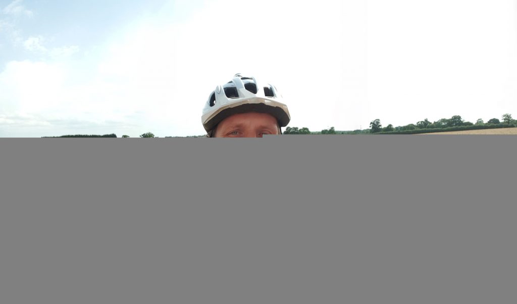
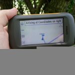
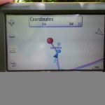
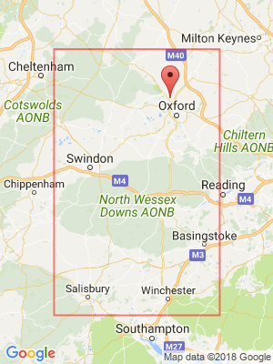
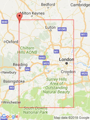
Dan’s successful geohashing expedition to a field of cows near East Adderbury (and one more point on his Minesweeper grid!). More details.
Tag: geohashing
How Much of My Graticule is Covered With Water?
I’m a moderately-keen geohasher, as you might be aware if you follow my geohashing logs or you saw that video of me going ‘hashing earlier this month.
For those that don’t know, the skinny version is this: in May 2008 an XKCD comic was published proposing (or at least joking about) a new game with a name reminiscient of geocaching. To play the game, participants use a mathematical hashing function on the current date and the most recent Dow Jones Industrial Average opening value to generate sets of random coordinates around the globe and then try to find their way to them, hopefully experiencing adventures along the way. The nature of stock markets and hashing functions means that the coordinates for any given day are effectively random and impossible to predict (far) in advance, so it’s sometimes described as a spontaneous adventure generator.
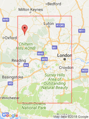
Recently, I found myself wondering about how much of a disadvantage players are at if they live in very “wet” graticules. Residents of the Channel Islands graticule (49 -2), for example, are confined to two land masses surrounded entirely by water. And while it’s true that water hashpoints can be visited if you’re determined enough, it’s still got to be considered to be playing at a disadvantage compared to those of us lucky ones in landlocked graticules like mine (51 -1).
And because I’m me and so can’t comfortably leave a question unanswered, I wrote a program to try to answer it! It’s among the hackiest, dirtiest software solutions I’ve ever written, so if it works for you then it’s a flipping miracle. What it does is:
- Determines which OpenStreetMap tiles (the image files served to your browser when you use OpenStreetMap) cover the graticule in question, and downloads them.
- Extracts information about the colour of each pixel in each tile.
- Counts the proportion of “water blue” pixels to other pixels (this isn’t perfect, because it trips over things like ferry lines on the map as being “not water”, especially at low zoom-levels).
I mentioned it was hacky, right?
You can try it for yourself, if you’d like. You’ll need NodeJS, wget, wc, and ImageMagick – all pretty standard or easy-to-get things on a typical Linux box. Run with
node geohash-pcwater.js 51 -1
, where 51 -1 is the identifier for the graticule you’re interested in. And in case you’re interested – the Swindon graticule (where I live) is
about 0.68% water, but the Channel Islands graticule is closer to 93.13% water. That’s no small disadvantage: sorry, Channel Islands geohashers!
Update 2018-08-22: discovered some prior art that takes a somewhat-similar approach.
Geohashing expedition 2018-08-07 51 -1
This checkin to geohash 2018-08-07 51 -1 reflects a geohashing expedition. See more of Dan's hash logs.
Location
A field South of Oxford
Participants
Plans
My meeting this afternoon got cancelled and my nearest hashpoint is only 6.5km (4 miles) away from my office. I can get this!
Expedition
After a productive morning’s work, I was genuinely slightly disappointed that a meeting I was scheduled to have this afternoon had to be rescheduled. But on the other hand… that meant that I could get away with extending my lunch break slightly and getting out to the hashpoint! I’d initially worried that it’d be inaccessibly buried on private land when Google Maps and satellite photography showed it to be deep in a block of cornfields, but OpenStreetMap came to the rescue and showed a public footpath somewhere in the very close vicinity of the target coordinates. And so, jumping aboard my bike, I set out!
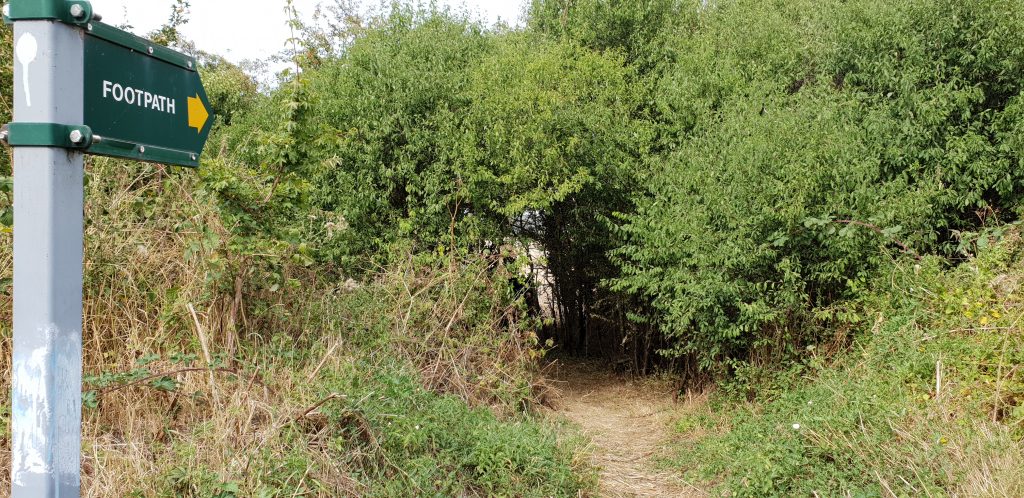
600m from the coordinates I ran out of road and switched to the footpath, which I was pleased to discover was in reasonably-good condition: many underused local footpaths are not being very well-maintained at the moment and are often overgrown, but I was even able to bring my bike along this one and into the first field, although I had to push it rather than ride and I soon learned the error of my ways when the terrain got even rougher and I reached a narrow bridge – too narrow for my bike – spanning a dyke and entering the second field. Both fields had recently been cleared of corn, and whatever route the official footpath was supposed to take became rapidly unclear, but that’s probably for the best because I’m pretty sure I wasn’t on it by the time I reached the edge of the next field.
The hashpoint seemed to be along the fence somewhere so I followed it along – waving to some nearby cows – until my phone told me that I was under 3m from the spot. Hurrah! I snapped a panorama photo and started heading back, pausing a few times when I realised that I really, really couldn’t find where I’d left my bike. On the cycle home I passed a Gasometer which, because I’m told they’re super-rare in the USA, I thought I’d snap a picture of for those of you who ‘hash on the other side of the pond to oggle at.
Video
I actually remembered to shoot video of this expedition (well, all within a kilometre of the hashpoint and mostly within the last 350 metres!). It’s mostly just me rambling as I ramble, although there’s (brief) explanation of the Surprise Gasometer for those of you who live in countries where you don’t routinely see these interesting structures:
Photos
2018-08-07 51 -1 Geohashing Expedition
Geohashing expedition 2018-08-04 51 -1
This checkin to geohash 2018-08-04 51 -1 reflects a geohashing expedition. See more of Dan's hash logs.
Location
Looks to be deep in the bushes alongside the unnamed road that connects Kidlington Road (to Islip), the sliproad exiting the A34 Southbound, and Bicester Road (in Kidlington).
Participants
Plans
The nearest road is about 10 minutes cycle from my (Dan Q) house, so I plan to zip out there either overnight (perhaps aiming for a Midnight Geohash?) or early in the morning. If you happen to plan to hit this hashpoint too, though, let me know and I can try to synchronise plans (but I ought to be spending the day studying, so I might not be able to!).
Expedition
At 2018-08-03 23:02 (BST – local time) I started packing a bag and set out to the hashpoint. Suddenly it didn’t seem like such a good idea as it had in the warm sunlight, earlier: a dark and moonless night isn’t the best time to be cycling along unlit roads. But fully-equipped with lights and supplies, I set out nonetheless. I’d left longer than I needed and had about a quarter of an hour sitting by the side of the road before midnight came and I was able to visit the hashpoint (thereby gaining my Midnight Achievement).
Photos
Geohashing expedition 2014-07-12 51 -0
This checkin to geohash 2014-07-12 51 -0 reflects a geohashing expedition. See more of Dan's hash logs.
Location
On the edge of a field near the village of Ford, outside Aylesbury.
Participants
Plans
I’m out in Aylesbury today, so I’ll probably swing by the hashpoint late-morning/early afternoon, by car. Hopefully it’s possible to get to it without climbing through any hedges!
Expedition
I was in Aylesbury this morning for an interview, and I’d discovered last night that a hashpoint had appeared pretty-much right between my home and the place I was visiting. It was off the major roads by a little way, but the day was beautiful and I relished the opportunity to go for an explore, by ZipCar and on foot. And that’s exactly what I got.
After driving through the village of Ford, I came to the end of a road and the beginning of a private driveway, and found a place to park. The locals looked at me strangely as I found my bearings and set off up a bridleway. Suddenly, I realised that the hashpoint was off to my right somewhere, so I hacked my way through some trees to get closer to it. The hashpoint turned out to be pretty-much exactly on the spot of a tree, at the edge of a field. Sadly, the tree was on the otherside of a barbed wire fence, covered in vines, but I was (with some effort) able to lean far over to “touch” the hashpoint-tree, as shown in the photos.
Later, I got stuck in traffic and almost delivered the ZipCar back late, but just barely made it, vacating the car just as the (very prompt) next occupiers turned up. Phew!
Photos
Dan Q found GLE5095Y Pointless Pathway
This checkin to GLE5095Y Pointless Pathway reflects a geocaching.com log entry. See more of Dan's cache logs.
What a wonderful little secret place buried away so close to civilization. Funny: I cycled right past the end of this pathway on my first ever geoHASHING expedition, almost three months ago, and never thought to look for caches on my way. It’s only now, having arrived earlier than expected for a medical appointment, that I got to come find this cache.
Log’s plastic bag is torn; log beginning to get damp.
TFTC!
Geohashing expedition 2014-04-21 51 -1
This checkin to geohash 2014-04-21 51 -1 reflects a geohashing expedition. See more of Dan's hash logs.
Location
A gap in a hedge just to the side of a lane running from Kidlington to North Yarnton, near the level crossing on the line that connects Oxford to Banbury.
Participants
Team Greendale
- Dan Q
- His partner Ruth
- Her baby, Annabel
Expedition
A Easter Bank Holiday weekend: what a perfect time for geohashing: and not just because of the warm weather and the fact that you can plan your expedition an extra day in advance, thanks to the exchange closures! No, it’s a great time especially because today’s hashpoint was a mere 300 metres from my house, as the crow flies (though the crow, at least, didn’t have to work his way down to to the bridge over the canal in order to get there).
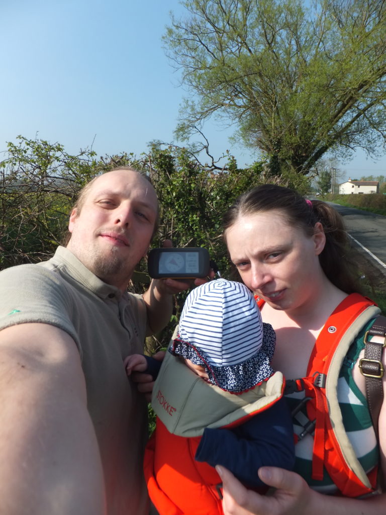
The hashpoint turned out to be in a gap in the hedge, half-way between down the road connecting a canal bridge to a level crossing. We saw a squirrel.
On the way back, Dan insisted that Ruth (and Annabel, who didn’t get much say in the matter) came with him to find nearby geocaches GC3P0QK and GC3P0RJ on the way back home, before they spent the day out in the sunshine exploring Oxfordshire in general.
Tracklog
Gallery
Geohashing expedition 2014-02-19 51 -0
This checkin to geohash 2014-02-19 51 -0 reflects a geohashing expedition. See more of Dan's hash logs.
Location
The edge of a field, south of Buckingham.
Participants
Expedition
To commemorate the second anniversary of the death of my father – a keen hiker and cyclist, who was killed during a hiking accident while training for a trek to the North Pole – I thought the best thing to do would be to strike out somewhere random. And where could be more random than a geohash? This was also my first ever geohashing expedition, although I’d been meaning to do it for a long, long while. And so began the Peter Huntley Memorial Geohashing Expedition!
I cycled from Kidlington, near Oxford (in the next graticule over) via National Cycle Network Route 51, through Bicester and towards Milton Keynes. Early on, I had to ford a river which had broken its banks and flooded the cyclepath (and even saw a minnow swimming across the cycle lane – quite surreal!). Later, I had a minor whoopsie when I stayed on the cycle route too long and ended up in Steeple Claydon, on the wrong side of the Padbury Brook valley, but soon corrected it. I’d anticipated having to hop a fence to get to the hashpoint, but it turned out that the field – which had been left to fallow – didn’t have a fence, and I only needed to walk about thirty paces into it in order to reach the hashpoint.
In memory of my dad, I pulled out a drawing of him and drank a bottle of Guinness (his preferred drink after a long day’s cycle), and began to head back. But disaster struck! Somehow, raptors must have gotten to my bike tyre while I wasn’t paying attention, because it was completely slashed. Being that I was now at the furthest point from home in my planned journey, I pushed it to the nearby village of Hillesden in the hope of finding a shop that might sell me sufficient supplies to repair the puncture, but was without luck. I was now faced with a choice: I could continue pushing it home, and try to get to Bicester (a little over three hours walk away) before the bike shop there shut, or I could turn and walk the wrong way (away from home) towards Buckingham (only about an hour’s walk away), and hope that I’d be able to find supplies there.
I headed for Buckingham, but the students I spoke to when I passed the University campus suggested that there wasn’t a bike shop in town, but suggested a hardware store that might sell a bike pump (I’d since found a patch kit at a corner shop, although it was of course useless without a pump). But while looking for the hardware store, I discovered quite by accident Solstice Cycles, a wonderful little bike shop right in the heart of Buckingham (at the time, Google Maps on my phone had been completely unable to find me a bike shop at all). The man there switched out my inner tube in a jiffy (he agreed that it could well have been a raptor attack that had damaged it), and set me on my way.
Unwilling to add further to my diversion, I took a more-direct route back to Bicester, straight down the A4421, and I’m sure I must have agitated the motorists who weren’t used to seeing cyclists on such a major road. In Bicester, I ate the remains of my packed lunch before getting back onto the cyclepath home.
Total distance travelled: 57.75 miles; mostly cycled, but more than I’d have liked on foot. And a spectacular first geohash.
Wish you could’ve been there, dad.
Tracklog
- SportRoutePlanner map of the expedition, including the laborious return journey