
This checkin to geohash 2026-11-14 51 -1 reflects a geohashing expedition. See more of Dan's hash logs.
Location
Field of Newbridge Farm, near the Thames Path.
Participants
Plans
About 11:00 I'll see about taking the dog for a walk out here, maybe arriving 12:30ish if its reachable. My original plan fell through; I'll try again this afternoon.
Expedition
My initial plan had been to come over here and give the dog a walk in the morning, but it's too far for the dog to walk the whole way and we've currently only got one functional car (the EV's suffered a fault that means its handbrake won't turn off, and it won't be repaired before Monday), so my window for an expedition was limited to the window during which the car wasn't needed for ferrying children around to their various Saturday activities. Unfortunately when the dog and I drove out to nearby Netherton I discovered only as we were about to get out that I'd failed to bring poop bags and so we had to turn around and go home... by which point my window had closed. D'oh!
So I came out again this afternoon, during the second possible window. The dog was ready for her afternoon nap by this point so I left her behind, which I figured would also keep me fast-moving and able to make a solid attempt at the goal before the car was needed by somebody else! I parked-up on Marsh Lane and begun walking towards the Thames.
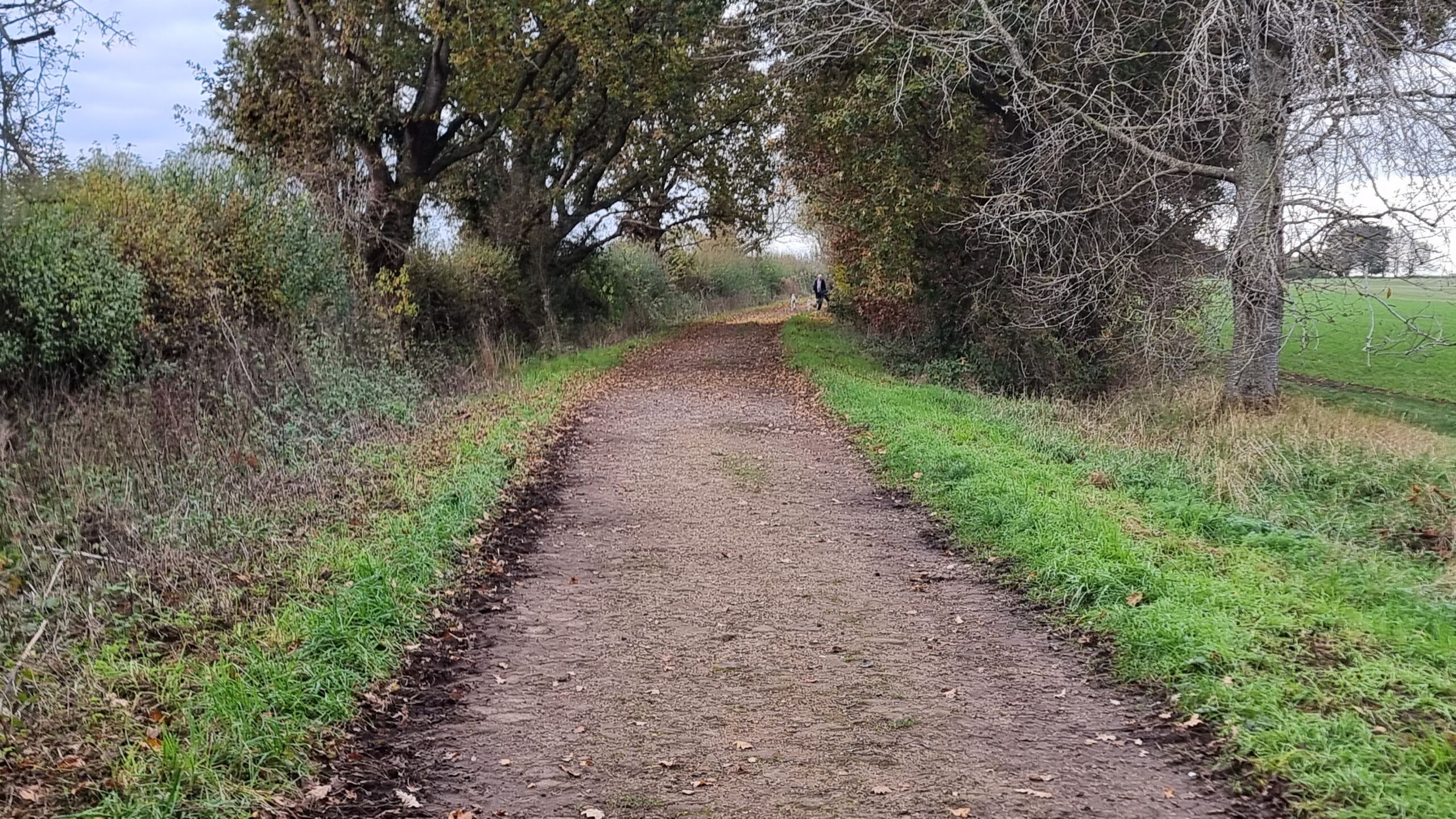
Alt
A farm track.
I've walked some of the paths around here before, and I was pleased to be able to find geocache GC4RAX2 Kingston loop N016 - one of the few around this bit of the Thames I haven't logged yet - on the way. The cache is a stone's throw away from a dilapidated old abandoned house that I reckon would make an excellent family home if just given a little TLC and some repairs.
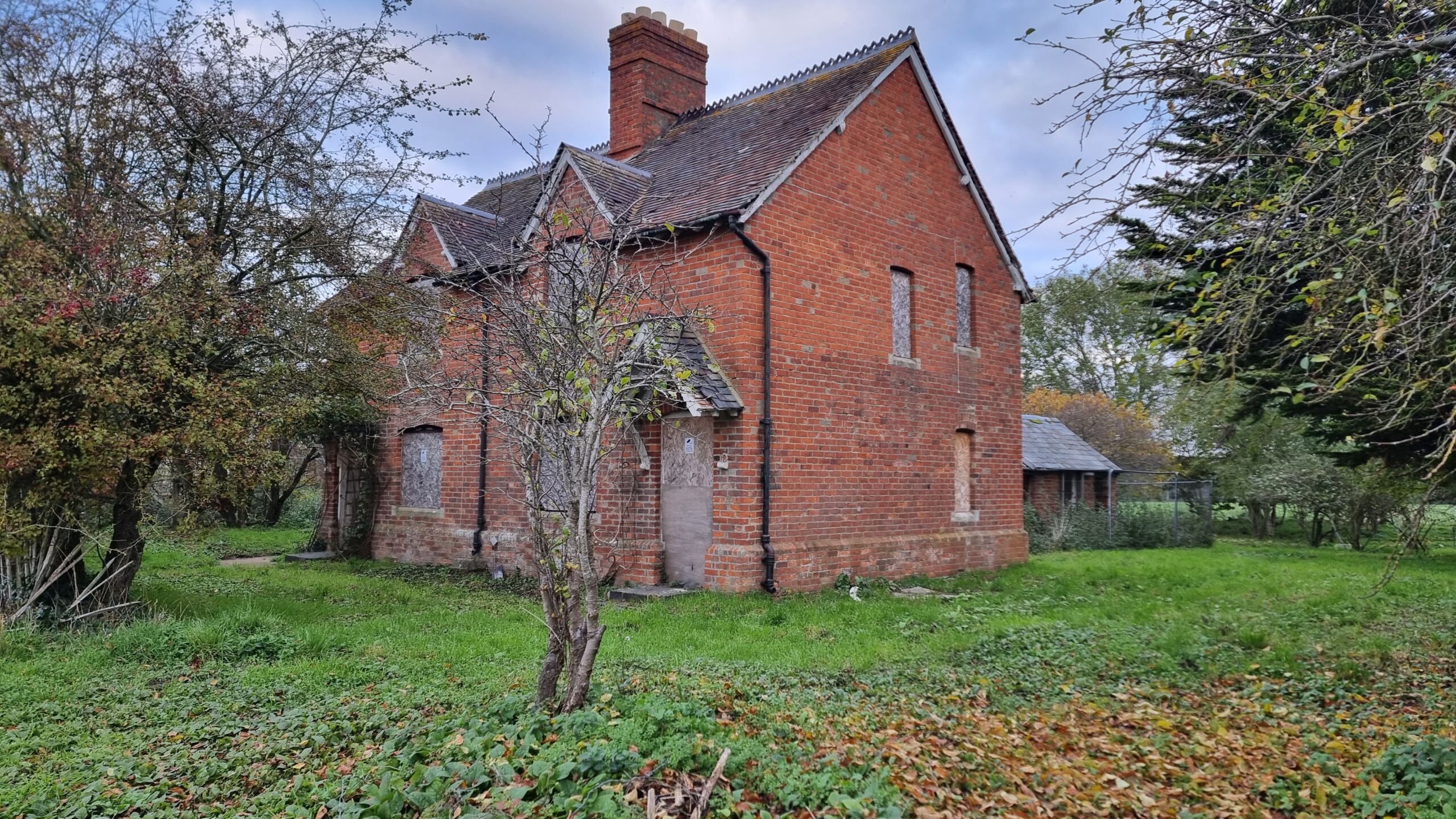
Alt
A derelict rural house, boarded-up.
Further along, my path took me alongside a field dotted with remains from the GHQ Red Line. Constructed during the Second World War, this network of defences and bunkers could have been the last line of defence had Hitler's Germany undertaken a successful land invasion of Great Britain. There's loads of them following this part of the River Thames, all acting to prevent an encirclement of London that was ultimately never attempted.
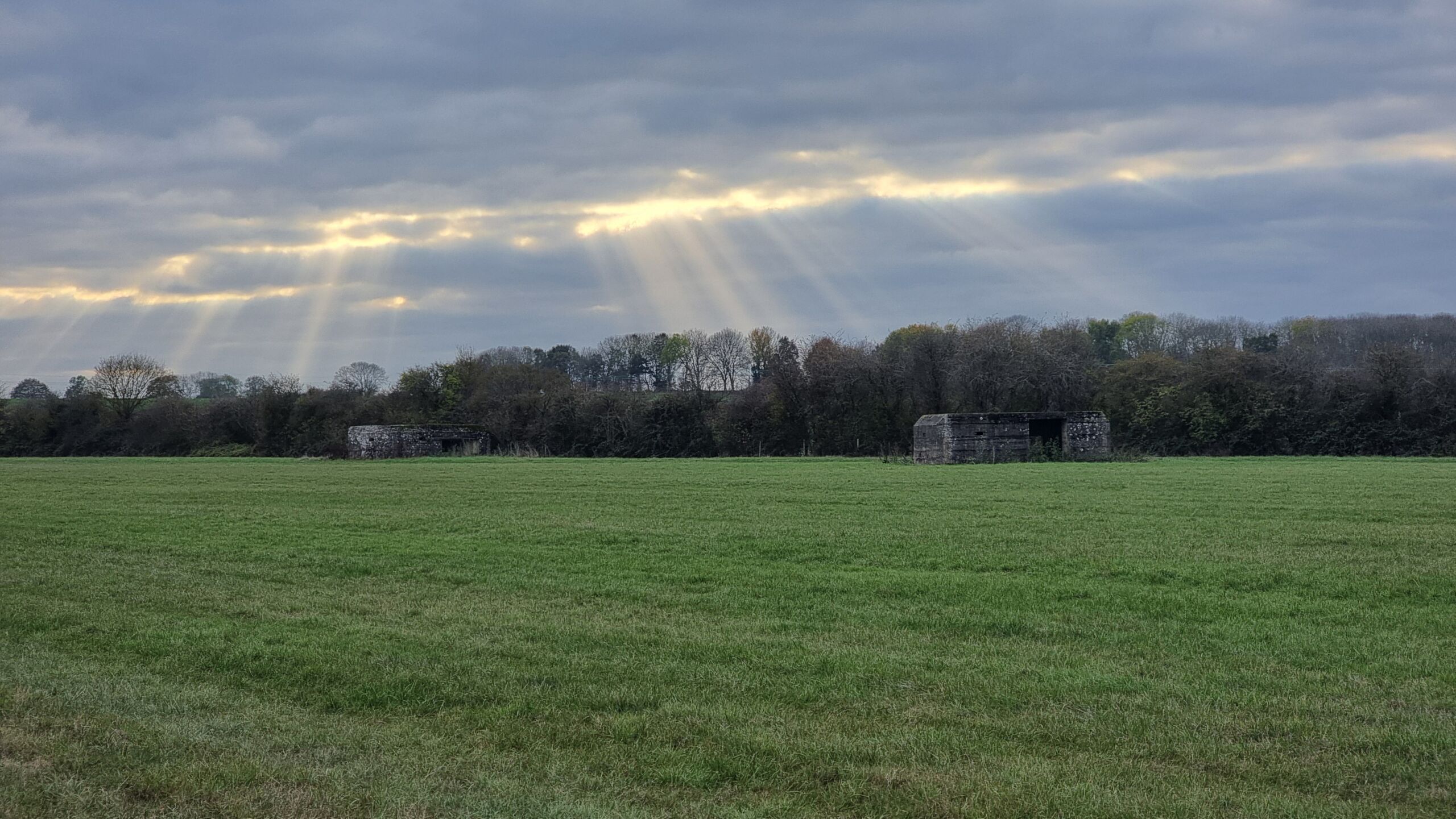
Alt
Two pillboxes dappled by sunbeams.
Approaching the path to Rainbow Bridge my route diverged from that of the dog walkers and cyclists I'd met along the way and instead took me alongside the pastures of Newbridge Farm on the South bank of the river. Sometimes I've seen cattle grazing in these fields and I was slightly concerned that if bulls were being kept out in my target field today then it might be inaccessible, but soon I could see the line of trees at which I expected to find the GZ and was excited to see that my goal would probably be reachable.
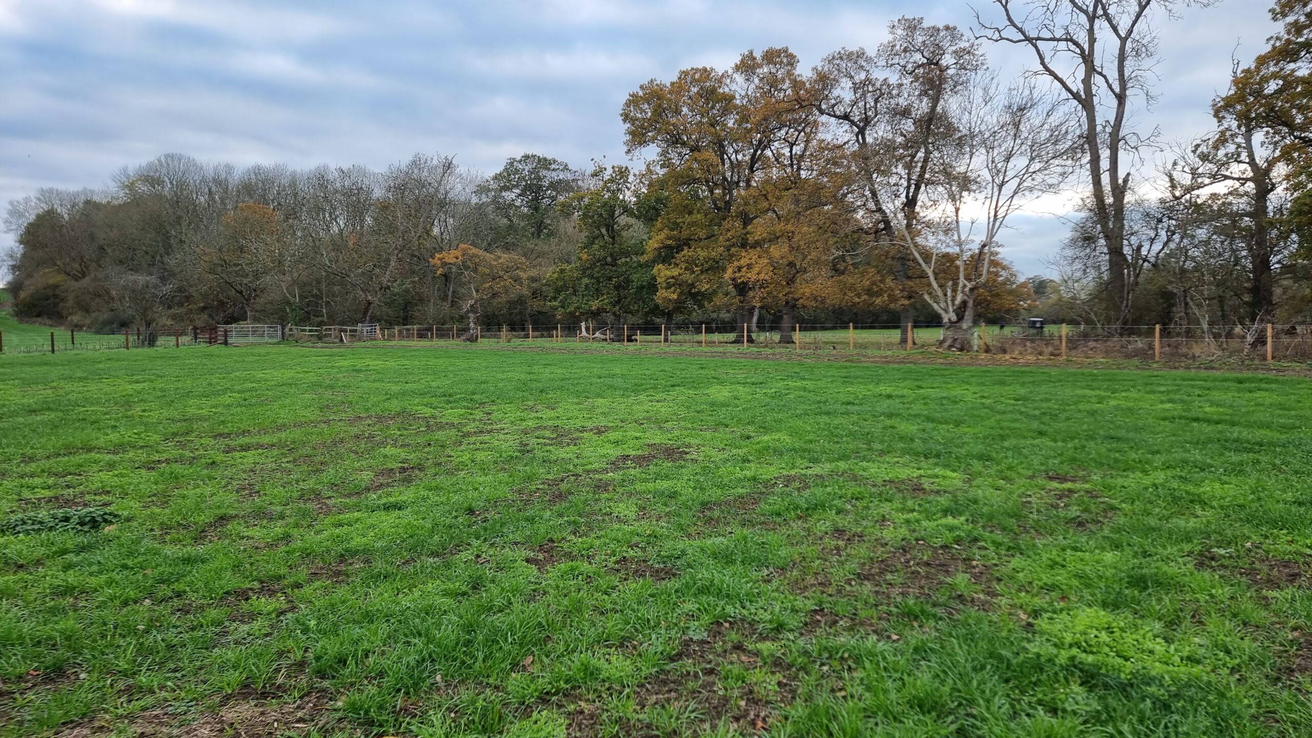
Alt
A line of trees at the edge of a pasture, about 30 metres away.
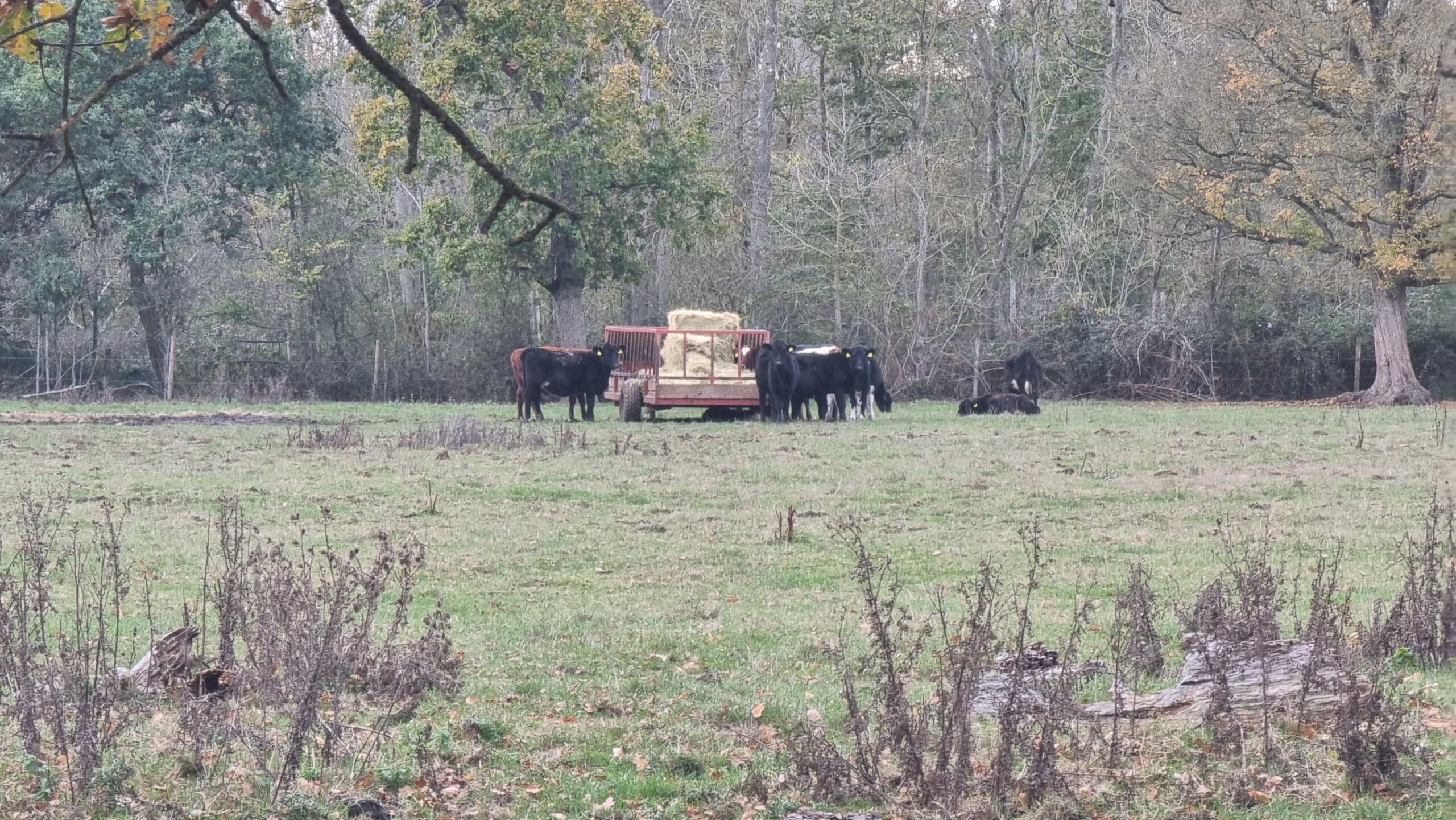
The cows that were present watched me with interest from the next field over.
Alt
Several cattle cease grazing from a pile of hay bales to look at the photographer.
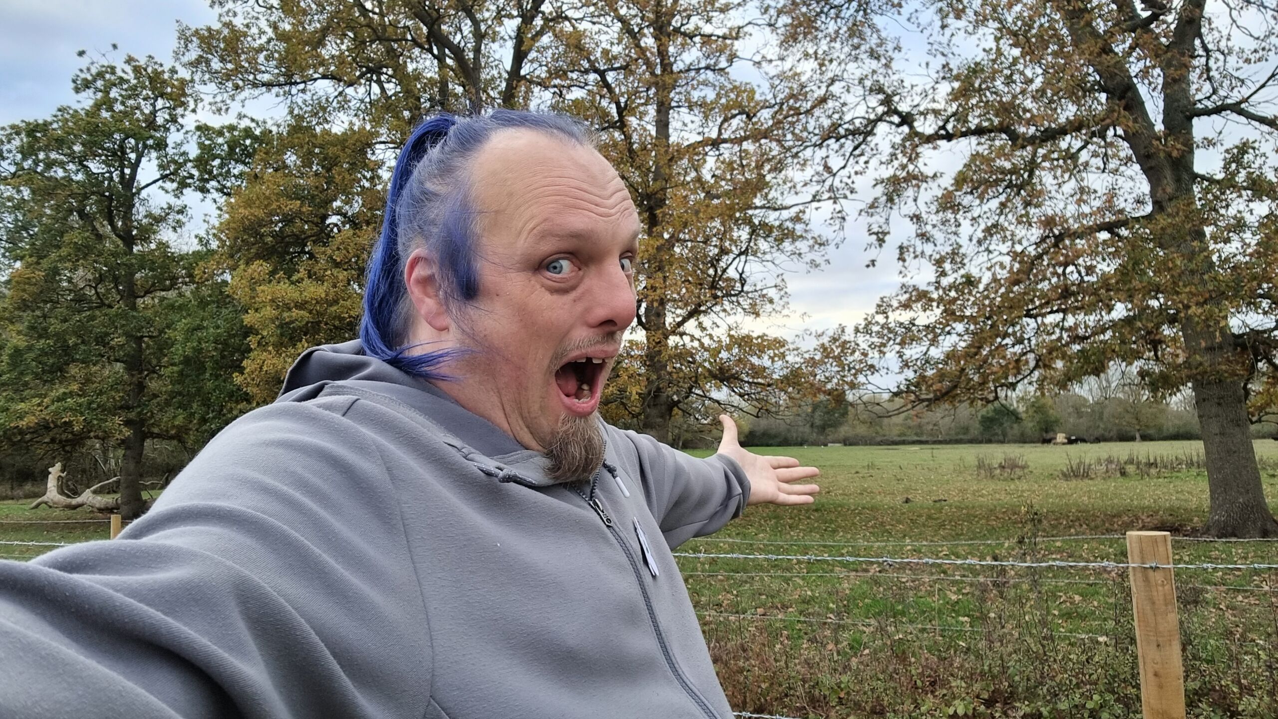
At the hashpoint at 14:51, I took the requisite Silly Grin photo...
Alt
Dan, a white man with a goatee beard and blue hair, grins stupidly in a field.
...and a quick panoramic...

Alt
360° panoramic view of the edge of a verdant pasture.
...before heading back to my car and to home. Success!
Tracklog
My watch kept a tracklog for the walking part of the journey:
0 comments