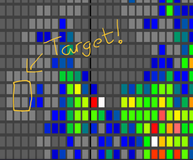
When my mother proposed that we take a holiday together somewhere, and that I could choose the destination, I started by looking at the Geohashing Expeditions Map.
Where, I wondered, could I find a cluster of mostly-land graticules (“square” degree of latitude and longitude) in which nobody had ever logged a successful expedition?
I’ve been geohashing for ten years now and I’ve never yet scored a “Graticule Unlocked” achievement for being the first to reach any hashpoint in a given graticule.
Over the next week, if the fluctuations of the Dow Jones and the variable Irish weather allow, I’ll be changing that.

0 comments