
Tag: ireland
-
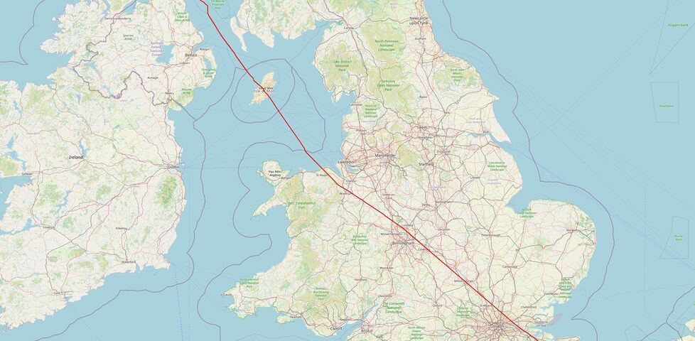
Are you closer to Ireland or Scotland?
A throwaway comment in a WhatsApp group lead me to a deep dive into geodata encoding and drawing a big old line all the way across England (and a little way across Wales!). It's nerdsnipe time!
-
I'm leaving Ireland a day late, from the wrong airport, and with one fewer functioning arm than I anticipated. It's been quite the ride. I'll be glad to get home.

Alt
Dan sits in an airport bar drinking a beer held in his right hand. His left arm is in a sling.
(for those that are concerned: I've damaged my shoulder, possibly while slipping down a hill in search of a geocache or geohashpoint; so, y'know, the usual reason I get injured... but I've got some physio instructions I'm supposed to follow, and I'll be okay)
-
Sooo... I'm in Dublin.
I missed me flight at Knock airport, which turns out to have been the only plane leaving that tiny airport today. So I arranged a flight from Dublin tomorrow, extended my car rental and arranged to drop it off in the capital's airport instead, and zipped over here.
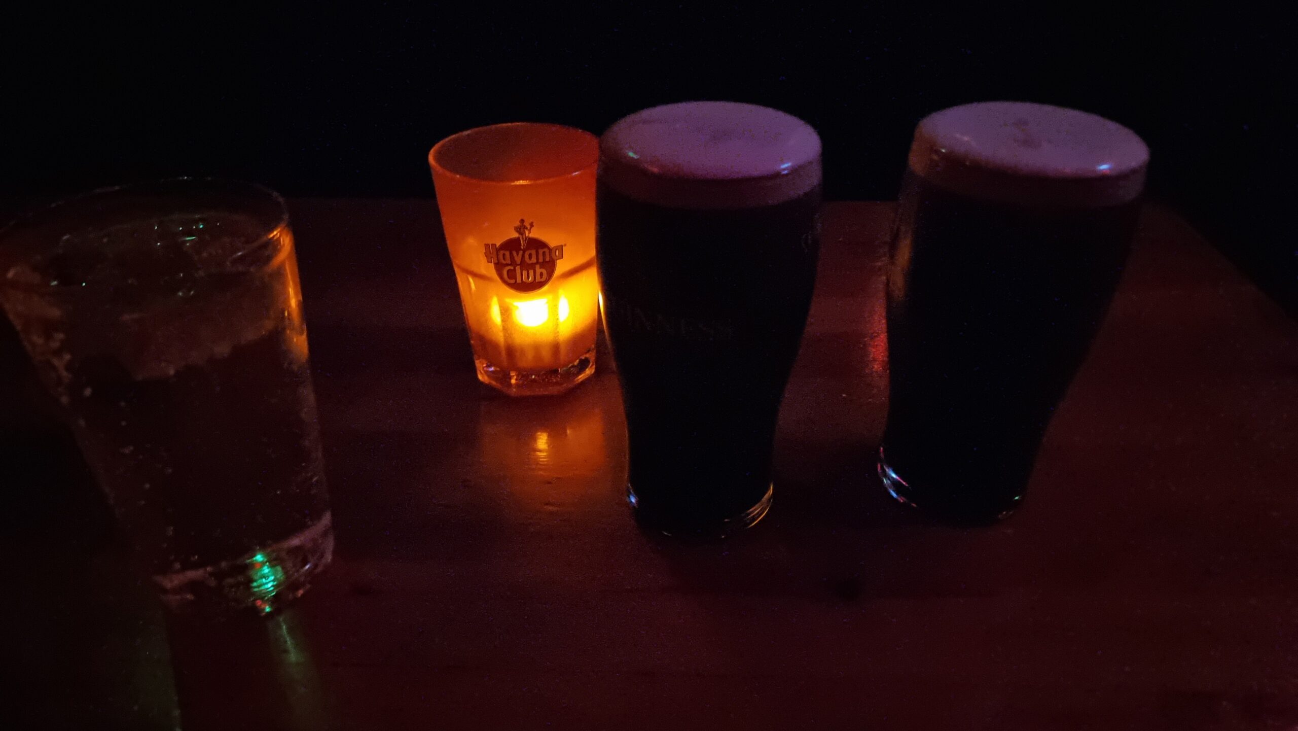
Alt
Two pints of Guinness on a candlelit table.
Now I'm in an underlit bar sipping a Guinness and waiting for a pizza.
-
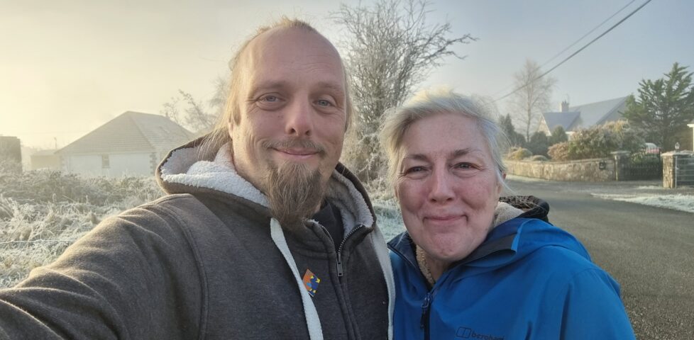
Geohashing expedition 2024-11-27 53 -8
A sixth Irish geohashing trip in Ireland spelled disaster. The hashpoint itself was easy, but we missed our flight back to the UK and ended up having to road-trip our way coast-to-coast to get back to somewhere we could catch a plane in the morning...
-
I've only been driving in Ireland for several days, so less than 100% of the iconography of the signage makes sense to me instantly, for now. But this one's a complete mystery to me.
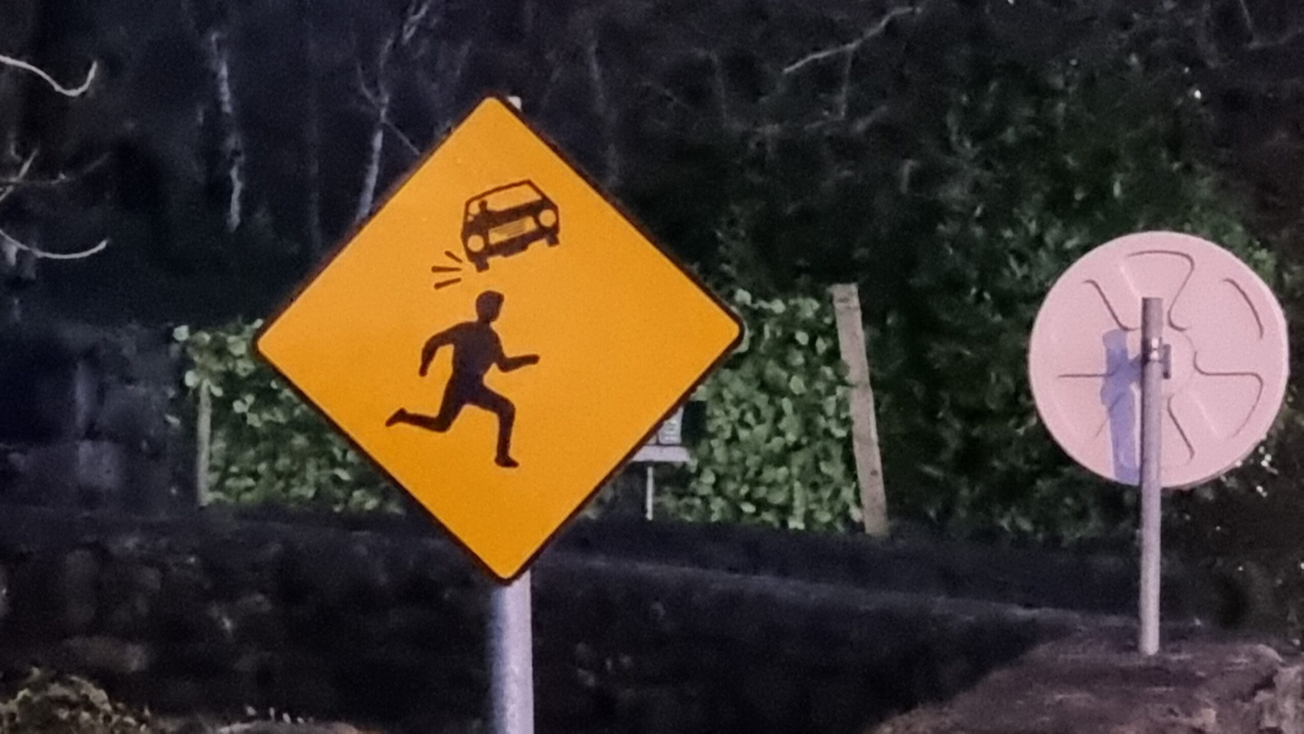
Alt
Photograph showing a road sign; it's yellow, diamond-shaped, and depicts in black the silhouette of a person running from left to right. Above them is the silhouette of a car, much smaller than them and twisted anticlockwise by about 20 degrees. Impact/movement marks eminate from the lower of the car's wheels, as if it's a thrown object that's just bounced off the head of the runner.
Is this warning joggers than tiny cars might bounce off their heads? Or is it exhorting distant swerving motorists to put on their right indicator to tell people which way to run to avoid being hit by them? Or maybe it's advising that down this road is a football pitch for giants and they'll play "headers" with you in your car if you're not careful? I honestly haven't a clue.
-
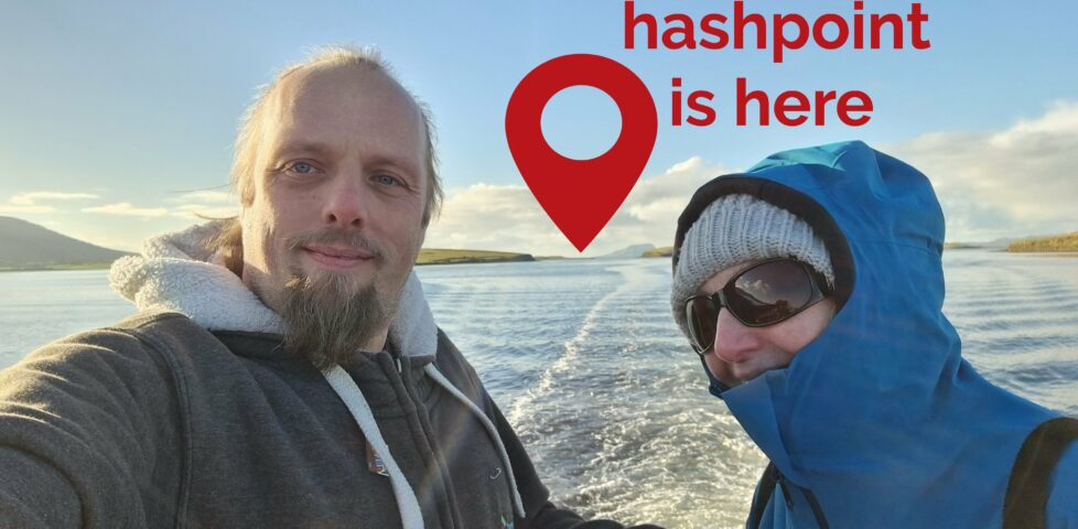
Geohashing expedition 2024-11-26 53 -9
A fifth geohashing trip in Ireland for me and my mum was foiled when I couldn't find anybody who'd take my money in exchange for driving us to a random spot out in the sea. We took a boat tour but it didn't come close enough to score.
-
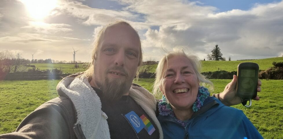
Geohashing expedition 2024-11-25 53 -8
My mother and I's fourth geohashing trip in Ireland and third successful expedition took us to a muddy field East of the town of Claremorris (where were were later able to award ourselves a slap-up lunch!).
-
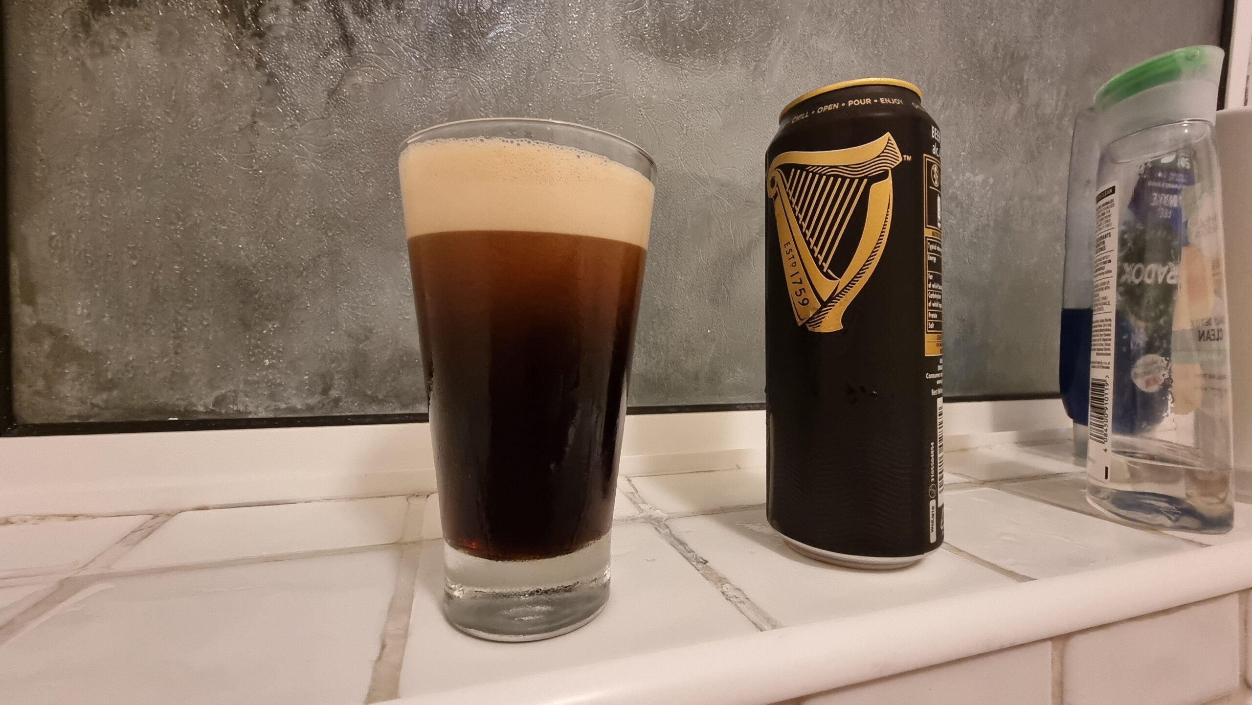
It's been a long day of driving around Ireland, scrambling through forests, navigating to a hashpoint, exploring a medieval castle, dodging the rain, finding a series of geocaches, getting lost up a hill in the dark, and generally having a kickass time with one of my very favourite people on this earth: my mum.
And now it's time for a long soak in a hot bath with a pint of the black stuff and my RSS reader for company. A perfect finish.
Alt
A pint of Guinness alongside a can, on a tiled bathroom shelf.
-
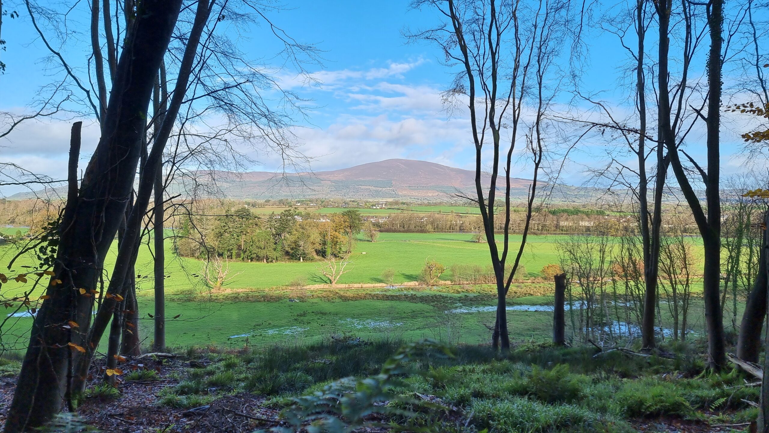
Gorgeous view of Slievenamon towering over Kilsheelan, Co. Tipperary, Ireland, as seen from Gurteen Wood, where my mother and I are just on our way back from our successful expedition to the 2024-11-24 52 -7 geohashpoint.
Alt
Under a blue-white sky, a rounded hill towers over a fertile green valley dotted with little white houses, as seen from between the trees of an ancient forest.
-
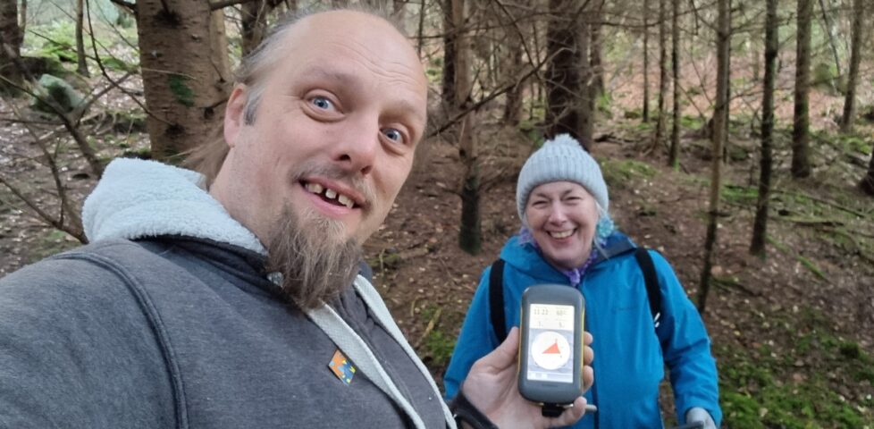
Geohashing expedition 2024-11-24 52 -7
On our first full day in Ireland, my mother and I found our way to a hashpoint in a virgin graticule, by stomping our way through an overgrown abandoned pasture.
-
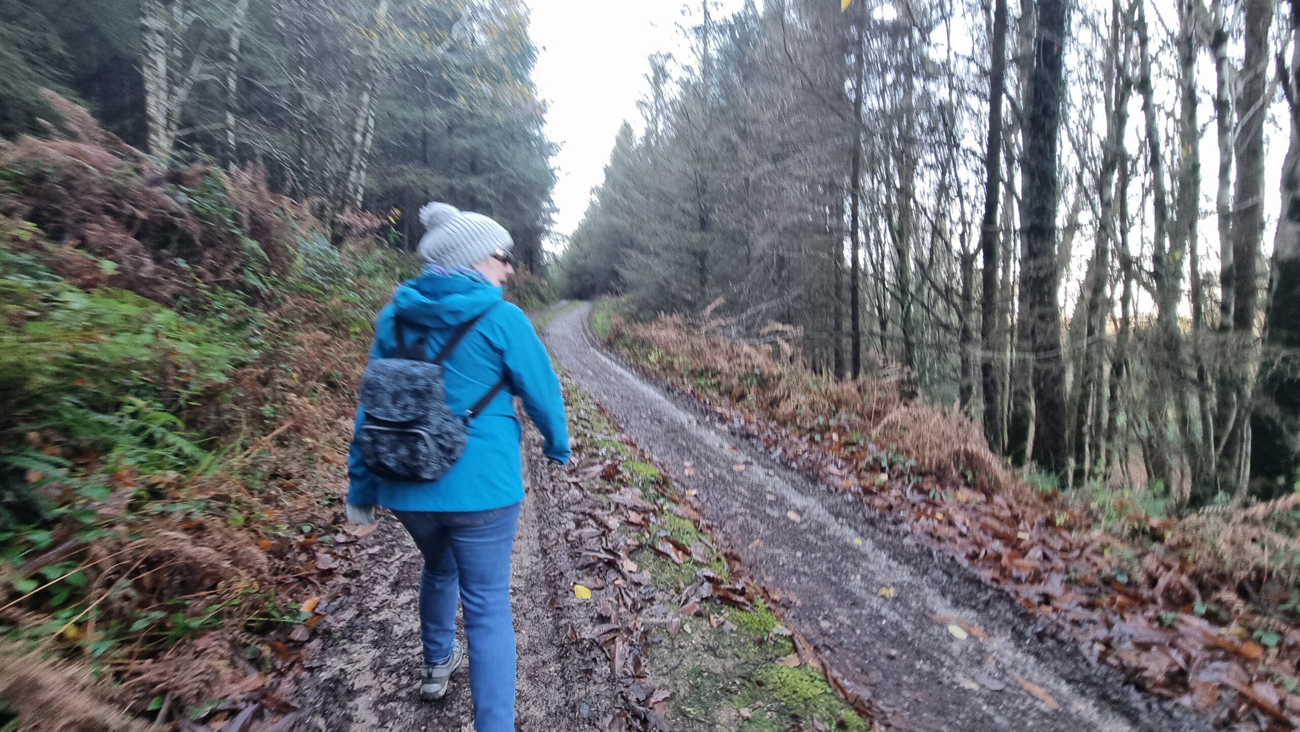
With Storm Bert raining off our plans for geohashing in Co. Limerick, my mother and I are off into a forest in Co. Tipperary in search of a hashpoint over this way. It's still pretty wet though.
Alt
A woman wearing a grey bobble hat and a blue coat walks away down a forest track.
-
Step 2: brave the fierce weather surrounding Storm Bert and head out into rural Ireland in search of a geohashpoint.
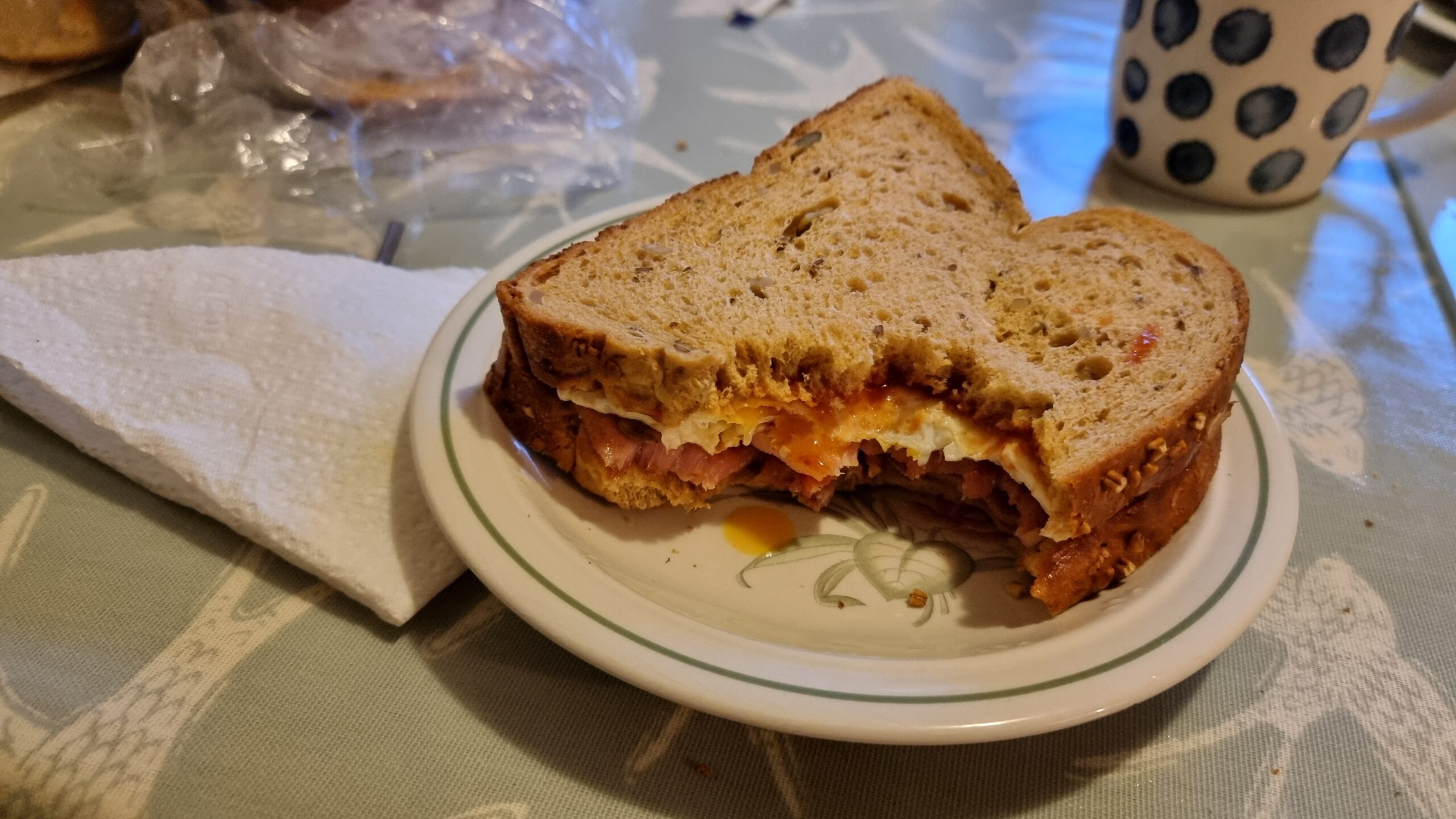
But first, the crucial step 1: a big ol' bacon and egg sarnie for breakfast.
Alt
Bacon and egg sandwich on granary bread, with two bites taken out of it.
-
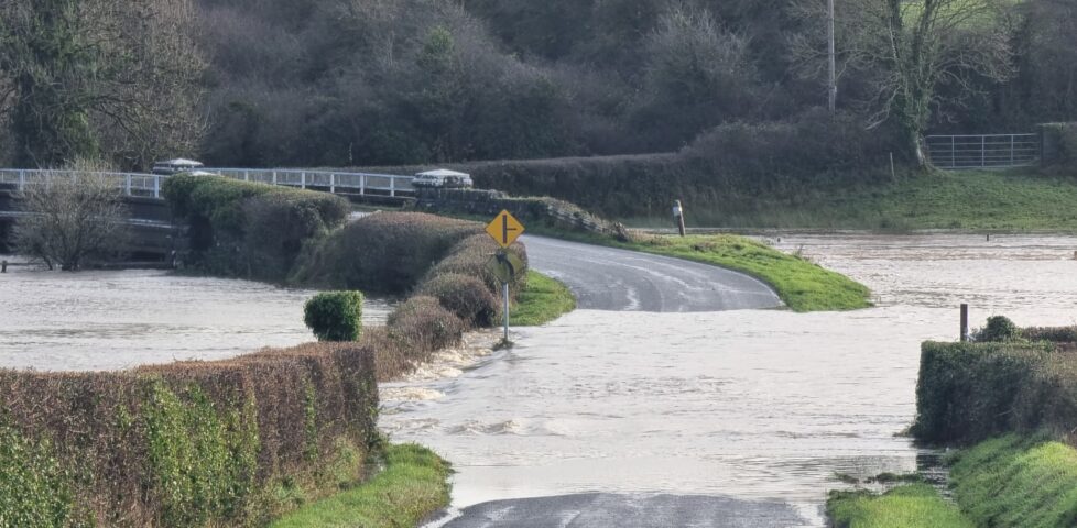
Geohashing expedition 2024-11-23 52 -8
My mother and I's second attempt at a geohashing expedition in Ireland didn't go so well, being blocked by flooding that washed-out the roads between us and the hashpoint, so we did some geocaching and visited a museum instead.
-
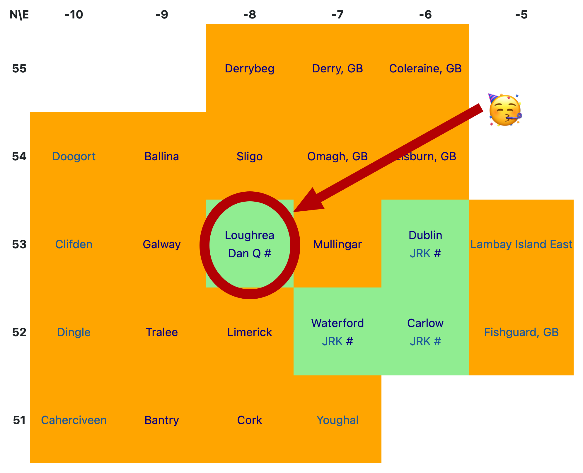
I'm on the map! No matter what else my mother and I achieve this week, my name will forever be recorded as the unlocker of the Loughrea graticule in Ireland: https://geohashing.site/geohashing/Ireland
Alt
Abstract map of the Republic of Ireland, represented as coloured graticules (square degrees of latitude and longitude) and highlighted based on whether they have seen successful geohashing expeditions. The Dublin, Carlow and Waterford graticules were so-'unlocked' by 'JRK', and the Loughrea graticule was unlocked by Dan Q, which is further highlighted by a 'celebrating face' emoji.
-
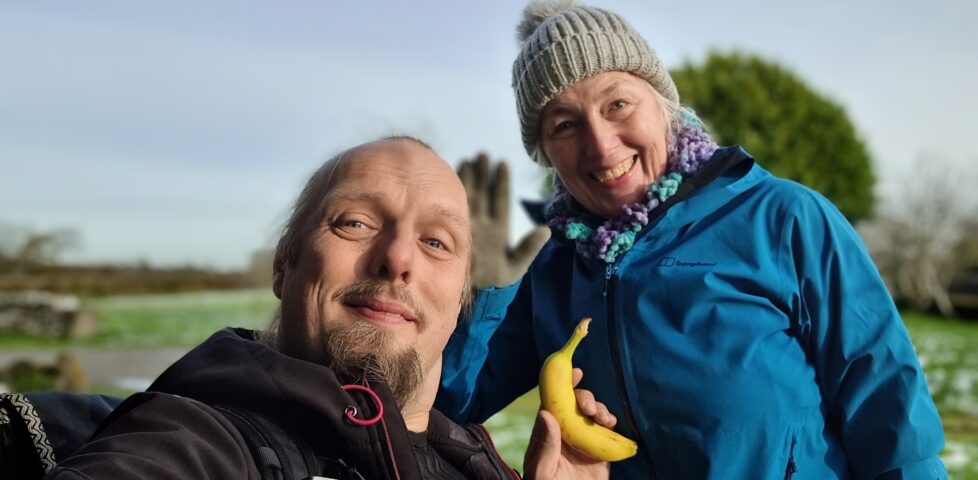
Found GC2BY40 Pallas Castle
This checkin to GC2BY40 Pallas Castle reflects a geocaching.com log entry. See more of Dan's cache logs. My mother and I are visiting the area in search of virgin graticules for geohashing purposes. This morning we set out for the 2024-11-22 53 -8 geohashpoint and found it down in a disused pasture down in the …