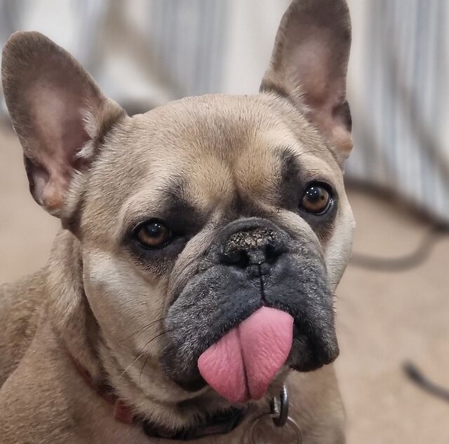
Rubberdogging, verb: attempting to invent a solution to a technical problem by explaining it out loud to a pet. From “rubberducking”, the practice of doing so
to an inanimate object, and “dog walking”.
New friends – obscure sights – the group divides – clear and present danger – an accident of geography – interest in bridges
2026 has not been an easy one so far. Work challenges, family challenges and my frickin’ house flooding have combined to make everything a bit overwhelming
and hard to cope with.
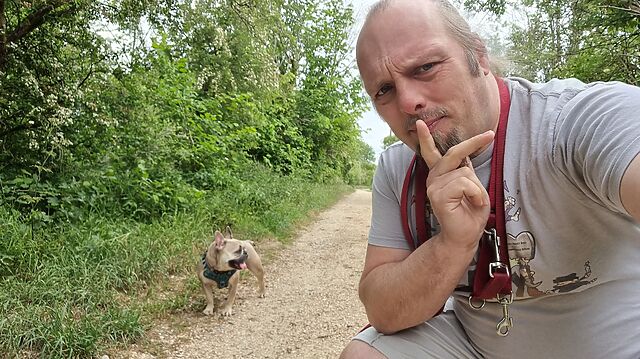
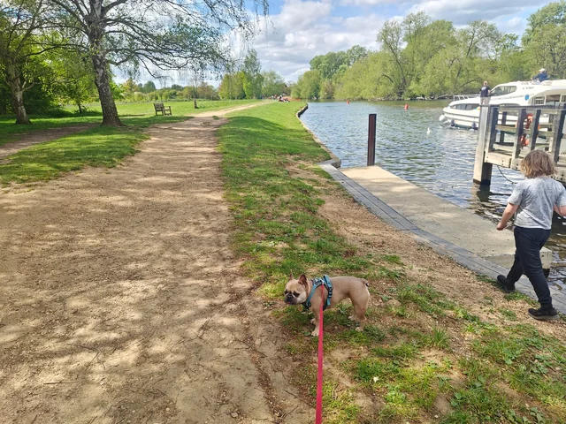
So when we got a sunny Sunday, on a weekend in late April when (thanks to having found a long-term rental) we didn’t have to move between short-term lets, I cajoled Dan
into once again acting as my support driver so I could walk some more of the Thames Path.
Dan and the smaller child joined me for the first couple of miles from Abingdon, which was nice.
…
My partner Ruth’s mission to walk the entire length of the Thames Path1
continued recently, and I still love “going on on” her journey – even the parts I wasn’t present for – through her blog posts.
If you too might enjoy blog-spectating this slowest-possible-walk along the length of the River Thames, you can catch-up on the
backlog and subscribe for the next one, whenever that happens!
Footnotes
1 She’s doing the walk in many, tiny, and disparate instalments. By her own estimates
she’s achieving about 50 metres per day, when averaged over her entire effort. This makes her only marginally faster than the 40 metres per day of the faster parts of the Greenland
Ice Sheet, which I guess means that her progress is literally glacial in its speed.
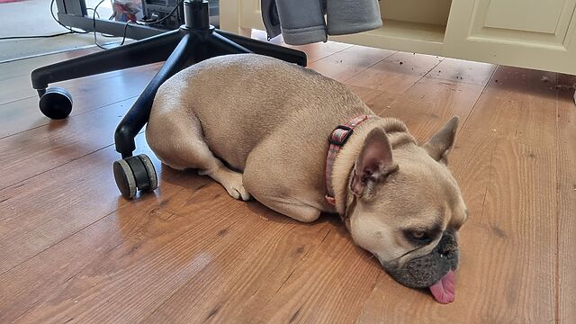
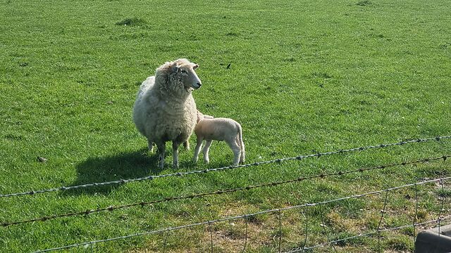
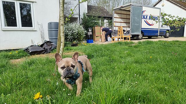
The dog complained that I wouldn’t let her go play with the lambs while I retrieved the cache – the playful pup can’t understand why I wouldn’t let her try to make friends with them!
In the second hiding place I tied, and the evidence suggests I’m not the first to make my mistake. I dipped into this series on release day from the other “side”; now I’ve returned
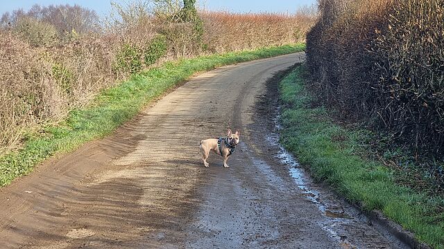
(with my geopup pal) to do more of the loop! TFTC.
It’s my final day in the cute garden office of the AirBnB we’re living in, this week, and every time I step through the door I catch a glimpse
of our small, sandy-coloured dog squatting in the garden.
Except the dog isn’t even here. My brain keeps getting tricked… by this statue of a pig:
It’s F-Day plus 35, and I’m spending a few hours working in the habitable part of our flood-damaged house while I’m “between” two AirBnBs.
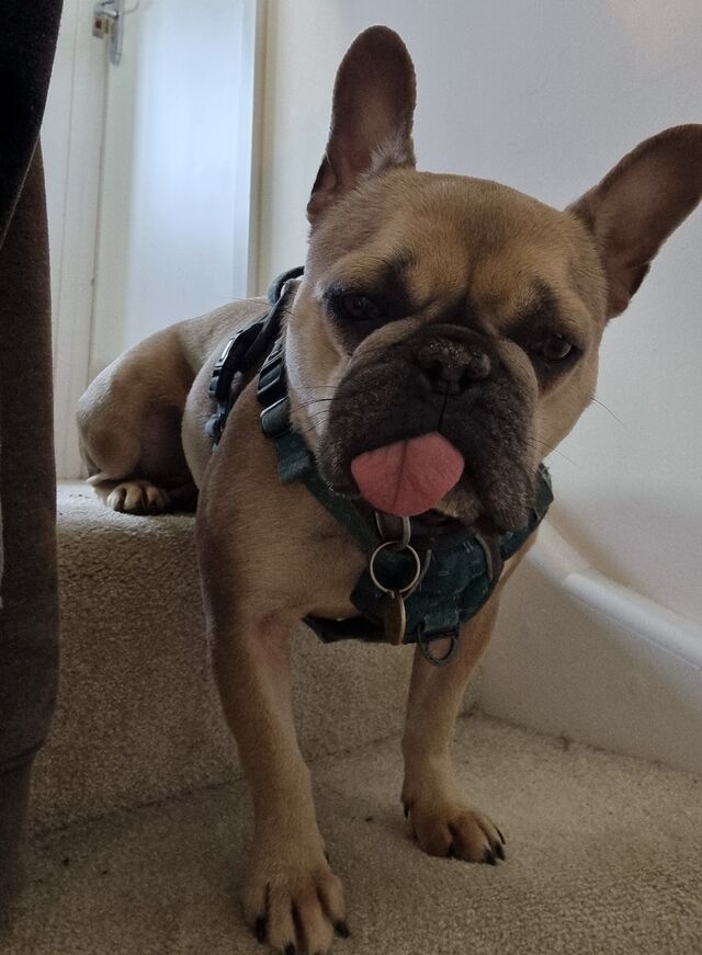
The dog, who doesn’t normally get to come upstairs, is sitting with me on the landing. Except she also wants to keep an eye on what’s happening downstairs.
The result? Her back legs are sitting and her front legs are standing as she peers blepfully down the stairs.