Robin’s found the fourth clue (and a devious puzzle box) in #challengerobin 2. Now can he make it to the accomodation or must I drink all the beer by myself? https://danq.me/2018/11/09/challenge-robin-2/#waypoint-cudden
Tag: challenge robin
Note #11679
#challengerobin Robin’s making slower progress up-hill now as he tries to find a mystery box identified only by its distance, like #geocaching with one eye tied behind your back, I guess. https://danq.me/2018/11/09/challenge-robin-2/#waypoint-turnpike
Note #11674
Sprinting along the coast, Robin threw himself into #challengerobin and made it to St. Michael’s Mount and back before the causeway was consumed by the waves. His next challenge? Find a secret location knowing only its real-time distance from him: https://danq.me/2018/11/09/challenge-robin-2/#waypoint-longrock
Note #11669
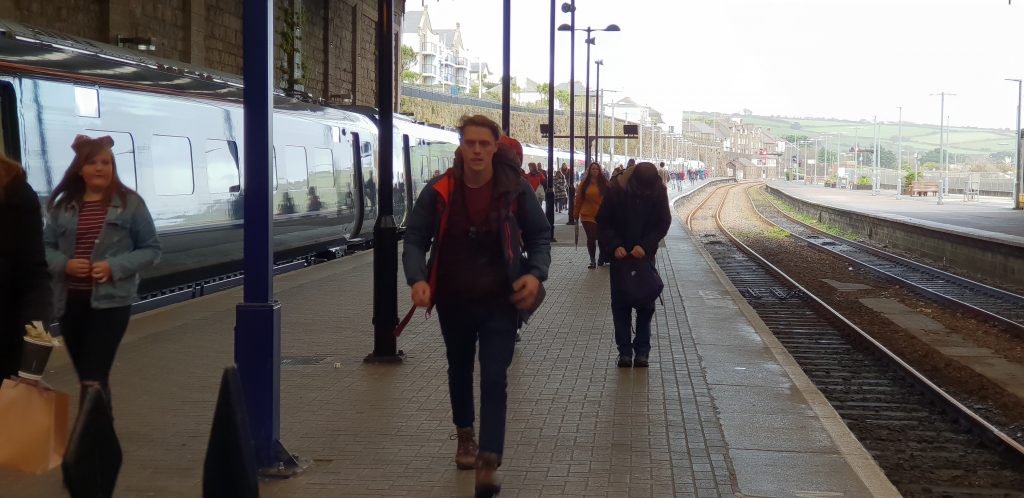
Robin made it to Penzance and #challengerobin can continue! Receiving his first, well second, clue, he’s racing the tide to St. Michael’s Mount and across the causeway. Can he make it? https://danq.me/2018/11/09/challenge-robin-2/#waypoint-station
Perranuthnoe Beach, near Penzance
Prussia Cove, near Penzance
Note #11661
After a series of setbacks, I’m determined to enable #challengerobin to continue. I’m off to meet Robin off his train and get him on-track, skipping the first clue. And his brother Owen’s joining in, too… https://danq.me/2018/11/09/challenge-robin-2/#waypoint-plan
Note #11652
#challengerobin After the sleeper train was cancelled Robin ended up on a series of regular trains and now isn’t expected in Penzance until several hours after originally planned. Some modifications may be needed… https://danq.me/2018/11/09/challenge-robin-2/#waypoint-curveball
Note #11645
#challengerobin hit a disaster early on: Robin was to find sleeper train tickets in a puzzle box, but a growing storm (see pic) has caused the train to be cancelled. What now? https://danq.me/2018/11/09/challenge-robin-2/#waypoint-disaster
Note #11640
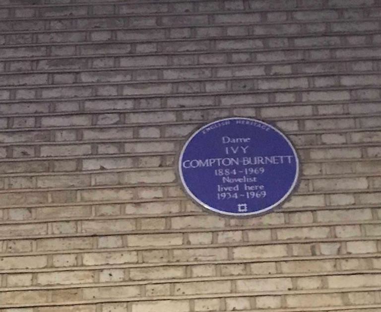
#challengerobin pushed-off in earnest with a blue-plaque-treasure trail around London and then back to Paddington station… but it looks like things are about to go very wrong… https://danq.me/2018/11/09/challenge-robin-2/#waypoint-gardens
Note #11636
#challengerobin Robin finally made it to his contact and has been given a clue – a map to a Kensington street and instructions on what to do when he gets there: https://danq.me/2018/11/09/challenge-robin-2/#waypoint-gbk
Challenge Robin II
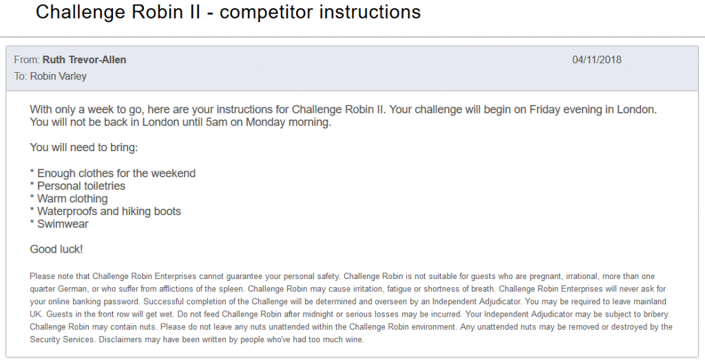
After the success of Challenge Robin this summer – where Ruth and I blindfolded her brother Robin and drove him out to the middle of nowhere without his phone or money and challenged him to find his way home – Robin’s been angling for a sequel. He even went so far as to suffix the title of his blog post on the subject “(part 1)”, in the hopes perhaps that we’d find a way to repeat the experience.
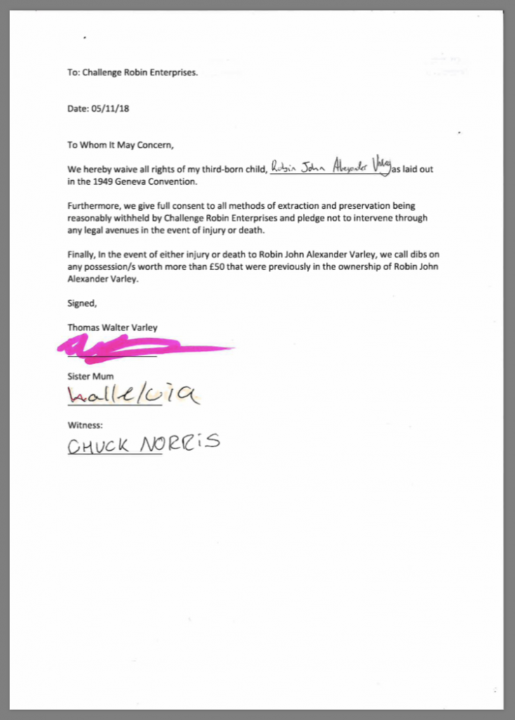
In response to an email sent a week in advance of the challenge, Robin quickly prepared and returned a “permission slip” from his parents, although I’m skeptical that either of them actually saw this document, let alone signed it.
With about a day to go before the challenge began, Robin’s phone will have received a number of instructional messages from a sender-ID called “Control”, instructing him of his first actions and kicking off his adventure. He’d already committed to going to work on Friday with a bag fully-packed for whatever we might have in store for him, but he doubtless wouldn’t have guessed quite how much work had been put into this operation.
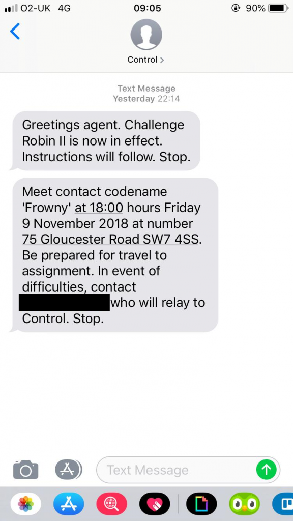
By 18:06 he still hadn’t arrived to meet his contact. Had this adventure fallen at the first hurdle? Only time would tell…
Update – Friday 9 November 18:45: Robin arrived late and apologetic to find his contact, “Frowny”, at the GBK at that address, was played by JTA.
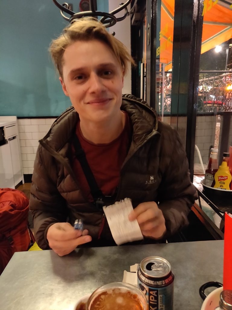
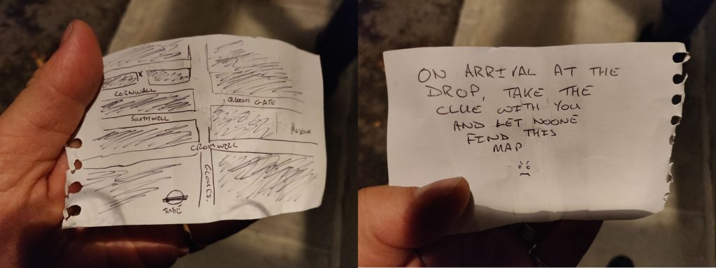
The pair ate and drank and “Frowny” handed Robin his first clue: a map pointing to Cornwall Gardens in Kensington and instructions on where to find the next clue when he got there. The game was afoot!
Clearly he’d taken the idea of being prepared for anything to a level beyond what we’d expected. Among his other provisions, he was carrying a tent, sleeping bag, and passport! “Clearly my mistake,” he told his contact, “Was giving intelligent people a challenge and then leaving them three months to plan.”
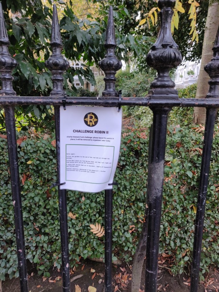
Update – Friday 9 November 19:53: In Cornwall Gardens, Robin found the note (delayed somewhat, perhaps by the growing dark) and began his treasure trail.
Soon after, though, things started to go very wrong…
Update – Friday 9 Novembr 20:40: Let’s take a diversion, and I’ll rely on JTA to keep Robin’s eyes away from this post for a bit. Here’s what was supposed to happen:
- Robin would follow a trail of clues around London which would give him key words whose names alluded to literature about Paddington (station) and Penzance. Eventually he’d find a puzzle box and, upon solving it, discover inside tickets for the Paddington-to-Penzance overnight sleeper train.
- Meanwhile, I’ve been rushing around the countryside near Penzance setting up an epic extension to the previous trail complete with puzzles, mixed-terrain hikes, highlands, islands, lions, tigers and bears (oh my). Some of those might not really have been in the plan.
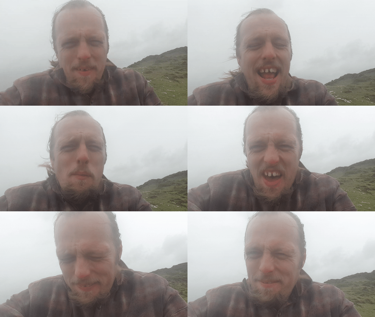
Meanwhile, here’s what actually happened:
- Storms swept in across Penzance, soaking me, and
- Causing the sleeper train to get cancelled.
So now we’re working out what to do next. Right now I’m holed-up in an undisclosed location near Penzance (the ultimate target of the challenge) and Robin’s all the way over in London. We’re working on it, but this hasn’t been so successful as we might have liked.
Update – Saturday 10 November 07:58: We’ve managed to get Robin onto a series of different trains rather than the sleeper, so he’ll still get to Penzance… eventually! Meanwhile, I’m adjusting the planned order of stages at this end to ensure that he can still get a decent hike in (weather permitting).
Update – Saturday 10 November 10:45: Originally, when Robin had been expected to arrive in Penzance via a sleeper train about three hours ago, he’d have received his first instruction via The Gadget, which JTA gave him in London:
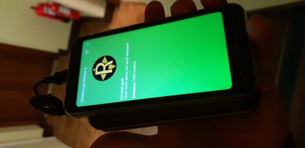
The Gadget’s primary purpose is to send realtime updates on Robin’s position so that I can plot it on a map (and report it to you guys!) and to issue him with hints so that he knows where he’s headed next, without giving him access to a phone, Internet, navigation, maps, etc. The first instruction would be to head to Sullivan’s Diner for breakfast (where I’ve asked staff to issue him with his first clue): cool eh? But now he’s only going to be arriving in the afternoon so I’m going to have to adapt on-the-fly. Luckily I’ve got a plan.
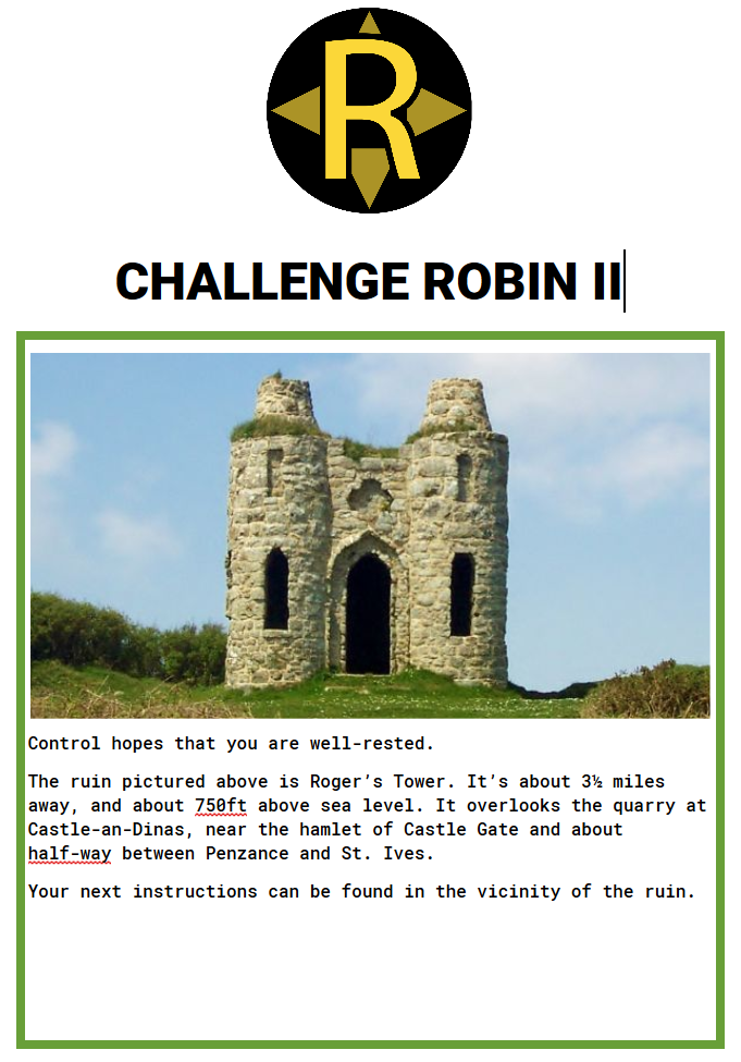
I’m going to meet Robin off his train and suggest he skips this first leg of the challenge, because the second leg is… sort-of time-critical…
Update – Saturday 10 November 13:29: Robin finally arrives in Penzance on a (further-delayed) train. I’ve given him a sausage sandwich at Sullivan’s Diner (who then gave him the clue above), turned on The Gadget (so I’ve got live tracking of his location), and given him the next clue (the one he’d have gotten at Roger’s Tower) and its accompanying prop.
Armed with the clue, Robin quickly saw the challenge that faced him…
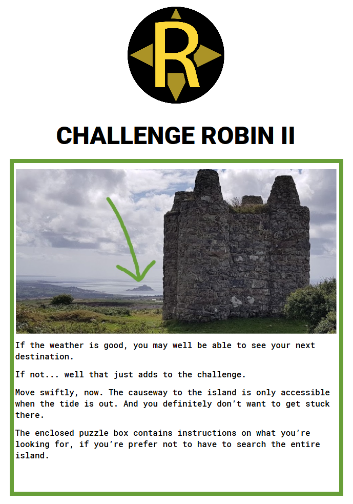
After all of these delays, there’s only about an hour and a half until the tide comes in enough to submerge the causeway to St. Michael’s Mount: the island he’s being sent to. And he’s got to get there (about an hour’s walk away), across the causeway, find the next clue, and back across the causeway to avoid being stranded. The race is on.
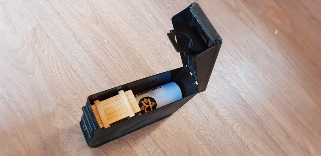
Luckily, he’d been able to open the puzzle box and knows broadly where to look on the island for the next clue. How will he do? We’ll have to wait and see…
Update – Saturday 10 November 14:18: Robin made spectacular time sprinting along the coast to Longrock (although his route might have been suboptimal). At 14:18 he began to cross to the island, but with only a little over half an hour until the tide began to cover the causeway, he’d have to hunt quickly for the password he needed.
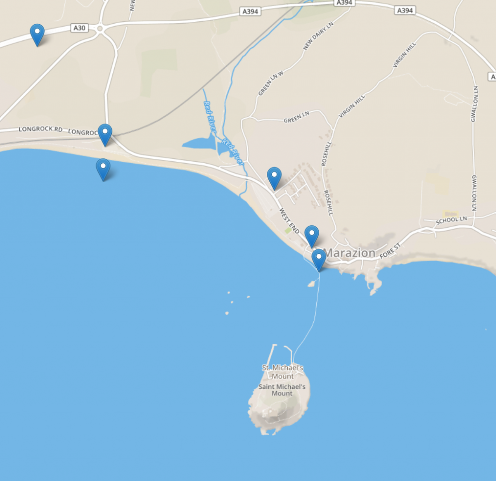
At 14:22 he retreived the clue and put the password into The Gadget: now he had a new set of instructions – to get to a particular location without being told what it was… only a real-time display of how far away it was. 7.5km and counting…
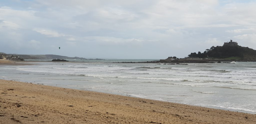
Update – Saturday 10 November 14:57: Robin’s making his way along the coast (at a more-reasonable pace now!). He’s sticking to the road rather than the more-attractive coast path, so I’ve had “Control” give him a nudge via The Gadget to see if he’d prefer to try the more-scenic route: he’ll need to, at some point, if he’s to find his way to the box I’ve hidden.
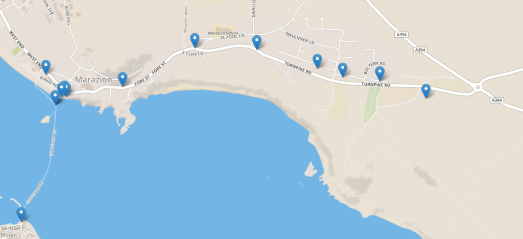
Update – Saturday 10 November 16:50: No idea where Robin is; The Gadget’s GPS has gone all screwy.
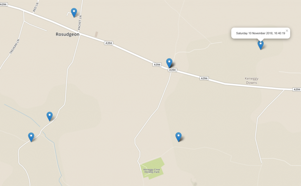
But it looks like he probably made it to Cudden Point, where the final clue was hidden. And then kept moving, suggesting that he retreived it without plunging over the cliff and into the sea.
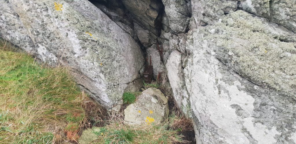
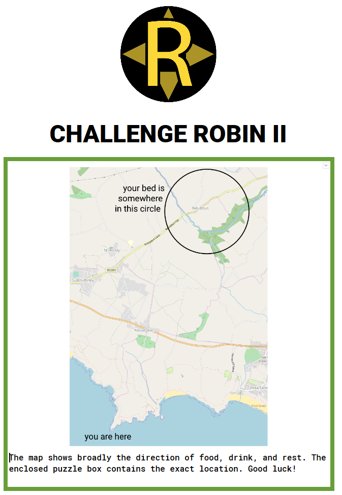
In it, he’ll have found a clue as to broadly where his bed is tonight, plus a final (very devious) puzzle box with the exact location.
The sun is setting and Robin’s into the final stretch. Will he make it?
Update – Saturday 10 November 17:25: He’s going to make it! He’s actually going to make it! Looks like he’s under a mile away and heading in the right direction!
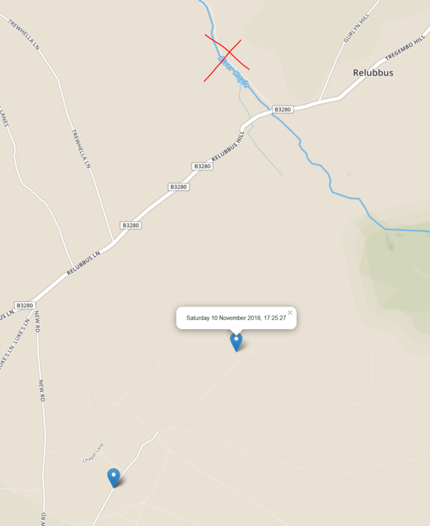
Update – Saturday 10 November 17:55: He made it!
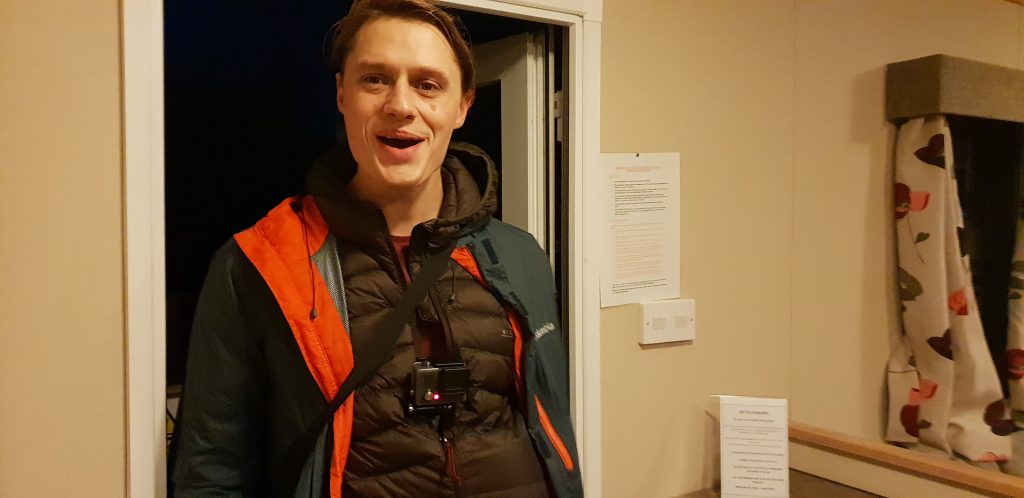
We’ve both got lots to say, so a full debrief will take place in a separate blog post.
Dan Q found GCGNNT We Would Like To Thank…
This checkin to GCGNNT We Would Like To Thank... reflects a geocaching.com log entry. See more of Dan's cache logs.
In hindsight, visiting this cache might have been a mistake as a storm was beginning to roll in, but I got there before things got TOO hairy! I was in the vicinity preparing an adventure-trail thingy along the coast path anyway, and couldn’t miss the opportunity to head for this exciting location. And it was a real treat to see a container like this: I’ve only ever seen them before when I’ve placed them myself (e.g. GC7QG1Z). Great container, hide, and description: FP awarded. TNLN, TFTC!
Geohashing expedition 2018-11-09 51 -3
This checkin to geohash 2018-11-09 51 -3 reflects a geohashing expedition. See more of Dan's hash logs.
Location
Field near Whitefield Rocks, Langley Marsh. Google Maps says its a nowhere-place but OpenStreetMap suggests there’s a footpath right by the hashpoint.
Participants
Plans
Okay, I’m going for it! I’m driving from Oxford to Penzance this morning and having just watched the sun rise over Sedgemoor Services off the M5 I’ve determined that I’m ahead of schedule by enough that I can justify a diversion, so I’m going to try for this hashpoint as I “pass”. Typing from mobile, apologies for lack of formatting ans any spelling errors; I’ll fix them later.
Expedition
Driving from Oxford to Penzance in the world’s-smallest-rental-car isn’t a fun adventure. What is fun, though, is hitting up a graticule I’ve never hashed in before to see if I can find the day’s hashpoint while en-route.
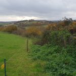
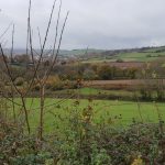
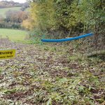
Parking the awfulmobile in a country lane, I followed the road and then a country footpath towards the hashpoint. I say “footpath”, but the public right of way was in dire need of maintenance and the nettles and hedges were encroaching badly upon it. Which was troublesome, because the other side of the footpath was marked by an electric fence that I didn’t want to touch, and so I had to shuffle sideways-at-times through the first field. The second field was easier-going, and I got a great view of the distant storm beginning to roll in which would soak me later, as I hid adventure-game clues atop a cliff near Penzance. The third field appeared to be where the hashpoint would be, and it was crossed by the public right of way, but I was surprised to find that the electric fence returned and now barred my way. Luckily its owner had seen fit to put a length of plastic piping around the live wire so it was possible to jump over without burning my crotch, but this seemed a little not-the-done-thing regardless.
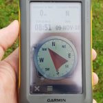
The hashpoint was right in the middle of the field and an easy find. Certainly easier than the short-but-exciting hike there and back.
Photos
Note #11619
A 5am start and a 230-mile drive sounds like a great way to start off my part in #challengerobin 2. Stay tuned for updates/sleepy off-kilter photos…
