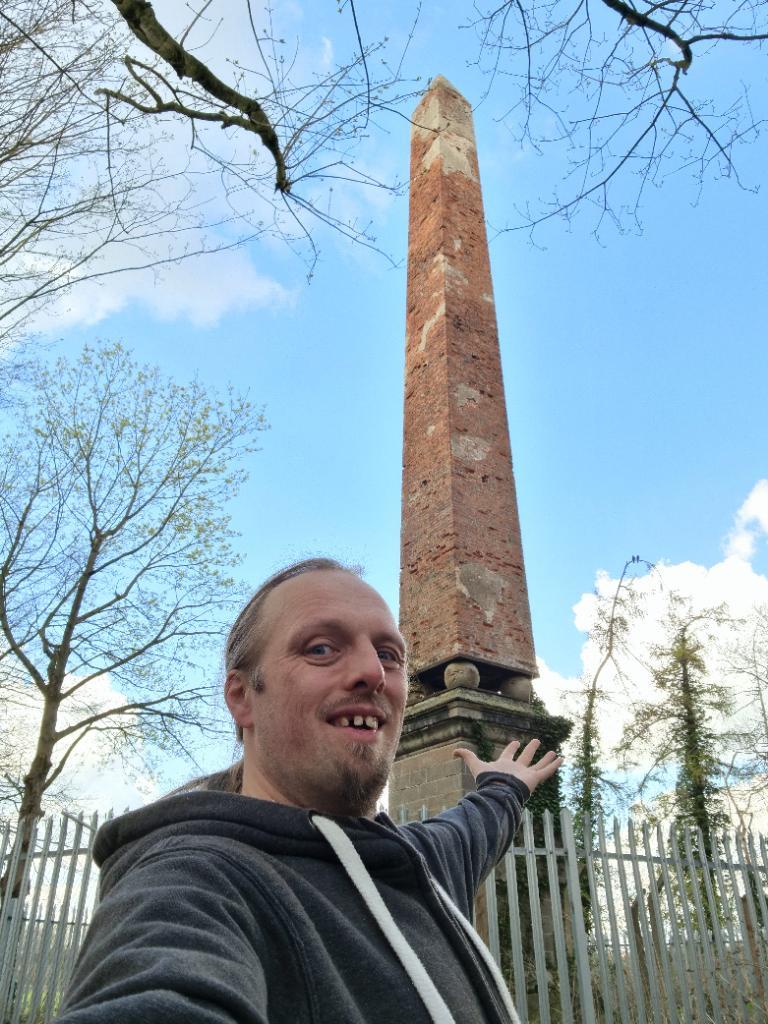
This checkin to GC88YX7 Return of the Obelisk (Virtual
Reward 2.0) reflects a geocaching.com log entry. See more
of Dan's cache logs.
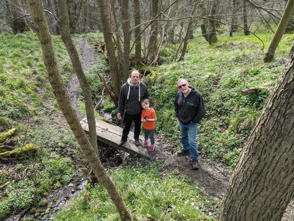
Today I’m driving most of the way up the M1, and I’ve parked nearby mid-journey to recharge: both the car’s battery and mine, with some lunch and a walk around the local geocaches.
As I climbed the hill to this virtual I initially thought I might have trouble seeing the obelisk through the dense foliage, but I was quickly proven wrong as it rose up and above the
trees. Blackbirds jostled for space atop it: apparently the status of being “king of the castle” counts for something, even though it’s clearly impossible for them to nest up there!
Thanks for bringing me here, and TFTC!