
From now on, when I try to engage junior programmers with the notion that they should make use of their general-purpose computers to answer questions for them… no matter how silly the
question?… I’ll show them this video. It’s a moderately-concise explanation of the thought processes and programming practice involved in solving a simple, theoretical problem, and it
does a great job at it.
My original plan to divert to the 2018-08-23 51 -1 hashpoint during my planned journey North-to-South along almost the entire length of the 51 -1 graticule was ruined somewhat by the
hashpoint turning out be farther North than my starting point! So I changed plans and overshot my destination in order to visit the 50 -1 hashpoint, instead (and find a couple of
geocaches on the way). Here’s how that went.
I’d originally planned on heading to 2018-08-23 51 -1 because I anticipated that it’d be on or
near my route travelling South along almost the entire length of the 51 -1 graticule, but I didn’t bargain on such a Northerly hashpoint so I’ve changed plans and am now aiming to get
to this one some time in the morning (I’m hoping to be in Winchester by lunch).
Expedition
The full story’s in vlog format, but here’s the summary:
Wasn’t originally planning to come to this graticule but instead was going to go to the 51 -1 graticule where I live ([2018-08-23 51 -1 see here]): I was going to be driving almost the entire length of 51 -1 on a journey from
Oxford to Winchester anyway, so I figured it’d be easy to divert to any hashpoint. But when the Dow numbers came out, it turned out that the hashpoints in this quadrant of the Earth are
all in the North-East corner, and so my journey would be in the opposite direction. Oh no! So instead I decided to “overshoot” and go for this graticule instead, and thus (if
successful) expand my Minesweeper Achievement level.
Hashpoint deep in woodland in the beautiful South Downs National Park.
Parked at The Sustainability Centre (and later made a donation via their website in thanks for
the use of their car park despite not using their other facilities) and walked initially through woodland they manage and use for natural burials: this was really cool – I’ve always
been a fan of body disposal in a low-environmental-impact, no-permanent-markers kind-of way, so I’m going to look more into what they offer. I was really interested to see that many
families had left “named” bird nesting boxes in memory of their loved ones, which is awesome too.
Found geocache GC2X5BJ just outside the burial area and close to a point that gave me a great view across a
valley towards the woods in which I believed I’d find the hashpoint.
Had to go some way off track to get to the hashpoint, but discovered a network of old, overgrown, long-abandoned (and not on any map I can find) trails in-between the thicket. In
fact, the hashpoint eventually turned out to be on the edge of such a track, which I was able to follow to help me find my way back to a road.
Found a sign pointing to “Droxford”. Oxford is so-named because its location coincides with the most-downstream point on the Thames at which it’s possible to ford the river
while driving cattle (i.e. “ox ford”) – incidentally, I’m told, the ford was at the point that Folly Bridge now stands. But what’s the etymology of Droxford, I wonder. What the hell is
a drox???
On the way back, diverted by geocache GC5P5KN and
found it: this was a great cache with the best-made
variant of the particular kind of container it used that I’ve ever seen.
Update: A little research later, it seems that the “ox” in each of Oxford and Droxford have completely different etymological roots! Droxford is derived from an ancient
name for the area from some time prior to the Middle Ages: Drocenesforda. “Drocen” means “dry”: the name means “dry ford”. The River Meon, which flows through the area, flows shallow
over a chalky bed and is easily forded in many places, as these motorcyclists show. The
things you learn!
I’m keen to get to level 2 of the Minesweeper Geohash achievement, and this
far-South-of-graticule hashpoint represents an opportunity to achieve that. I’ll be at work during the day, but – energy levels permitting after what’ll have been a long day! – I’ll
find a way to get up here and see if I can get to the hashpoint, aiming to arrive probably around 18:30.
Expedition
It had been a long day at work, but it looked to be a beautiful evening and I promised myself a pub dinner if I made it to the hashpoint, so I set out by car and by foot to East
Adderbury, the village nearest to the hashpoint. The village itself is stunning: lots of old stone buildings, a very traditional bridge, and beautiful green spaces. I spotted not one
but two candidate pubs (The Red Lion and The Coach & Horses) as I passed through the village, which was a reassuring start, and then pressed on
down a lane which quickly became a narrow trail, waving to some cows along the way (why do I always seem to meet cattle on my hashing adventures?).
The trail was full of blackberries so I wasn’t short of a snack, but it soon became clear that it wouldn’t get me any closer than 35m to the hashpoint. I returned to the entrance to the
cows’ field and, hopping a stile, crossed it. The cows looked puzzled as I paced around, getting to ground zero, but didn’t object. After shooting the traditional silly grin, I turned
tail and headed back into the village and to the Coach & Horses, which proved to be the very essence of a British village pub: a husband and wife couple running it, dogs everywhere, a
jar of pickled onions behind the bar, and more beers than you can shake a stick at.
I did enjoy a rather unusual conversation at the bar, though –
Me: Can I get a ham, egg, and chips please. And a pint of bitter shandy.
Barman: One egg or two?
Me: Oh! Two, please.
Barman:(Pause) We haven't got any eggs.
Me: Uhh. Okay; no eggs then.
Barman's wife: We've got one egg.
Barman: We've got one egg.
Me: I'll have one egg, then.
(I go and sit outside; after a while, my meal arrives. There are two eggs.)Barman's wife: I found another egg.
Me: ...
This footpath is less overgrown than I feared it might turn out to be.
The first field I found myself in was – just about – navigable by a (pushed) bicycle.
But eventually my bike had to be left behind and I carried on alone.
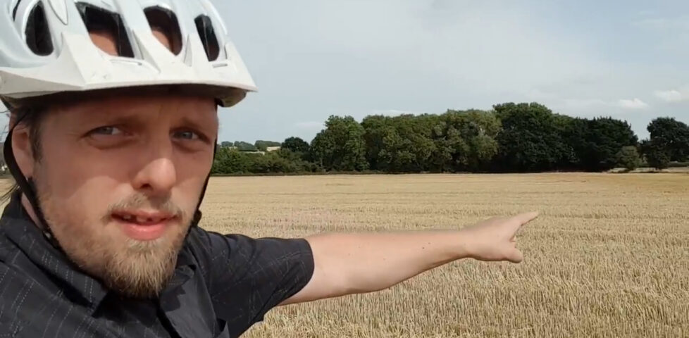
Success! Silly grin engaged as I stand at the hashpoint.
The fields had recently been harvested of their corn.
It’s a whole lot of fields (panoramic photograph).
On the way home, I spotted a gasometer and photographed/filmed it for my US friends (they’re even rarer in the US than here)!
For obvious reaosns, they don’t let idiots like me get up-close with enormous containers full of flammable gas, even when (like this one) they’re actually empty.
Success! Because I didn’t EXPECT to be hashing today, I didn’t have my GPSr and so didn’t make a tracklog, but my phone managed to get me there.
My meeting this afternoon got cancelled and my nearest hashpoint is only 6.5km (4 miles) away from my office. I can get this!
Expedition
After a productive morning’s work, I was genuinely slightly disappointed that a meeting I was scheduled to have this afternoon had to be rescheduled. But on the other hand… that meant
that I could get away with extending my lunch break slightly and getting out to the hashpoint! I’d initially worried that it’d be inaccessibly buried on private land when Google Maps
and satellite photography showed it to be deep in a block of cornfields, but OpenStreetMap came to the rescue and showed a public footpath somewhere in the very close vicinity of the
target coordinates. And so, jumping aboard my bike, I set out!
600m from the coordinates I ran out of road and switched to the footpath, which I was pleased to discover was in reasonably-good condition: many underused local footpaths are not being
very well-maintained at the moment and are often overgrown, but I was even able to bring my bike along this one and into the first field, although I had to push it rather than ride and
I soon learned the error of my ways when the terrain got even rougher and I reached a narrow bridge – too narrow for my bike – spanning a dyke and entering the second field. Both fields
had recently been cleared of corn, and whatever route the official footpath was supposed to take became rapidly unclear, but that’s probably for the best because I’m pretty sure I
wasn’t on it by the time I reached the edge of the next field.
The hashpoint seemed to be along the fence somewhere so I followed it along – waving to some nearby cows – until my phone told me that I was under 3m from the spot. Hurrah! I snapped a
panorama photo and started heading back, pausing a few times when I realised that I really, really couldn’t find where I’d left my bike. On the cycle home I passed a Gasometer which, because I’m told they’re super-rare in the USA, I thought I’d snap a picture of for
those of you who ‘hash on the other side of the pond to oggle at.
Video
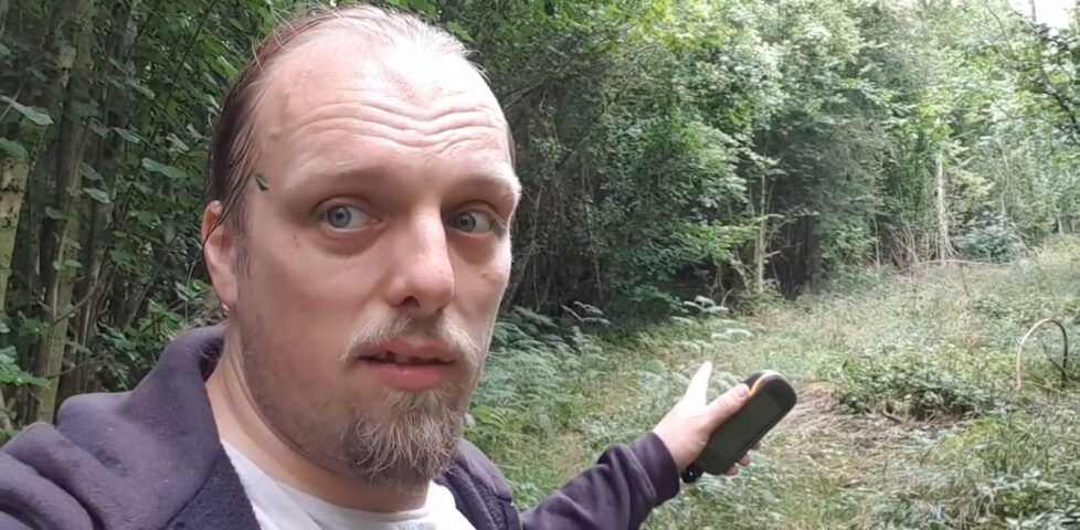
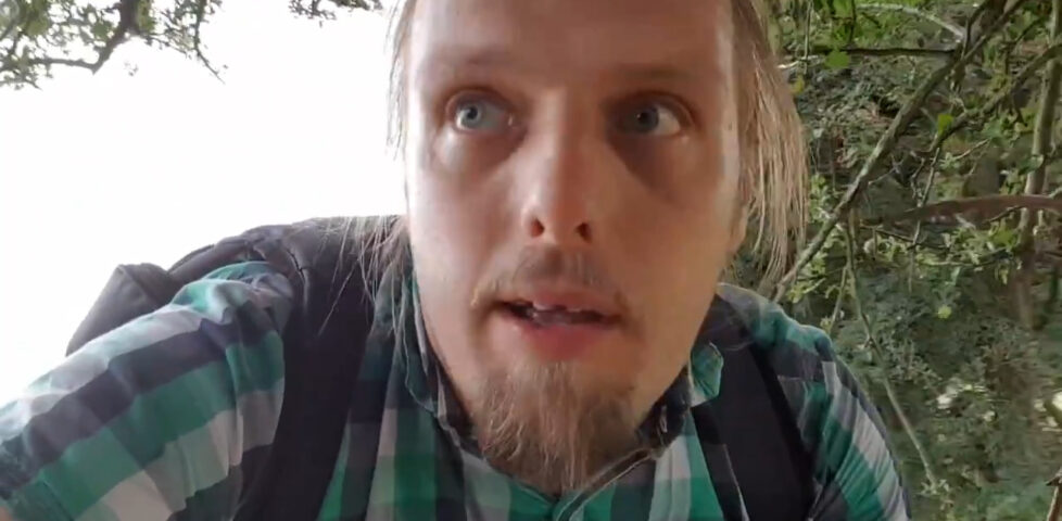
I actually remembered to shoot video of this expedition (well, all within a kilometre of the hashpoint and mostly within the last 350 metres!). It’s mostly just me rambling as I ramble,
although there’s (brief) explanation of the Surprise Gasometer for those of you who live in countries where you don’t routinely see these interesting structures:
Photos
Setting out by bike to the hashpoint.
This footpath is less overgrown than I feared it might turn out to be.
The fields had recently been harvested of their corn.
The first field I found myself in was – just about – navigable by a (pushed) bicycle.
But eventually my bike had to be left behind and I carried on alone.
It’s a whole lot of fields (panoramic photograph).
Success! Silly grin engaged as I stand at the hashpoint.
On the way home, I spotted a gasometer and photographed/filmed it for my US friends (they’re even rarer in the US than here)!
For obvious reaosns, they don’t let idiots like me get up-close with enormous containers full of flammable gas, even when (like this one) they’re actually empty.
Success! Because I didn’t EXPECT to be hashing today, I didn’t have my GPSr and so didn’t make a tracklog, but my phone managed to get me there.
Underappreciated video presentation on how only a few small changes to the timeline of the Internet and early Web results in a completely different set of technologies and companies
becoming dominant today. Thought-provoking.
I remember when this advertisement did its original run and I loved it. I was delighted to accidentally stumble across it on the Web recently; if you haven’t seen it before (and even if
you have) you should give it a watch…
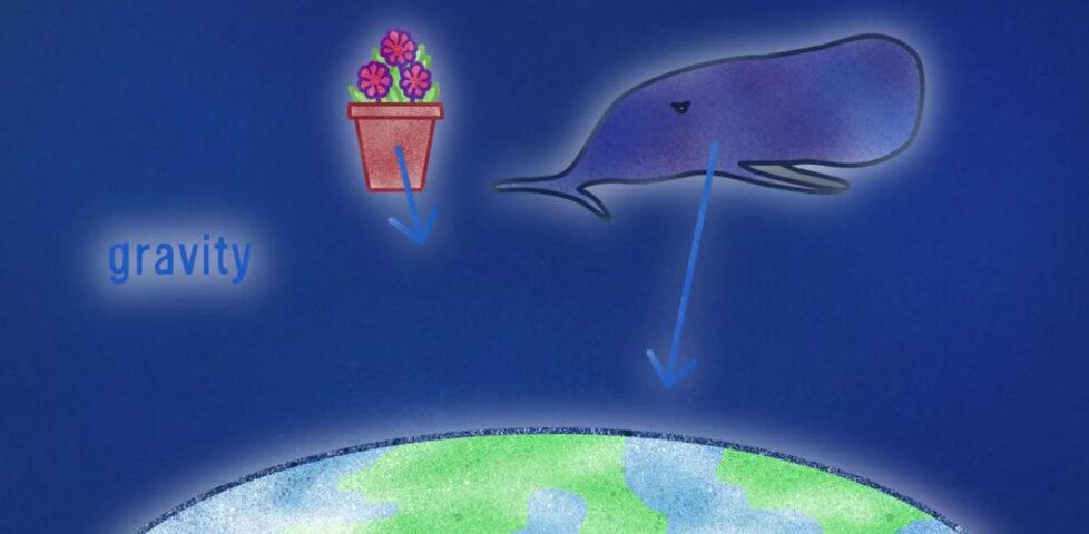
Fabulous explanation of the Strong Equivalence Principle coupled with a nice bit of recent research to prove that it holds true even in extreme gravitational fields (and therefore
disproving a few interesting fringe theories). It’s hard science made to enjoy like pop science: yay! Plus a Hitch-Hiker’s Guide to the Galaxy reference, to boot. Under 10,000
views; go show them some love.
Tom Scott’s new YouTube game show, Lateral, has just finished it’s first series. Start watching from here, if you’re at all interested… and you should be, it’s funny and clever
(albeit in a very different way to Citation Needed).