This checkin to GCBMAJB #16 Northmoor Loop reflects a geocaching.com log entry. See more of Dan's cache logs.
It’s funny, I’ve cycled down the nearby back road countless times but never known that this footpath was here.
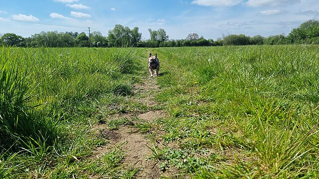
Near the GZ the geopup saved the day on this one, spotting the requisite geotrail and bringing me back to it. A bit of hair-pulling from the nearby trees didn’t stop me retrieving this nice, large cache. TFTC!