This checkin to geohash 2024-02-10 51 -1 reflects a geohashing expedition. See more of Dan's hash logs.
Location
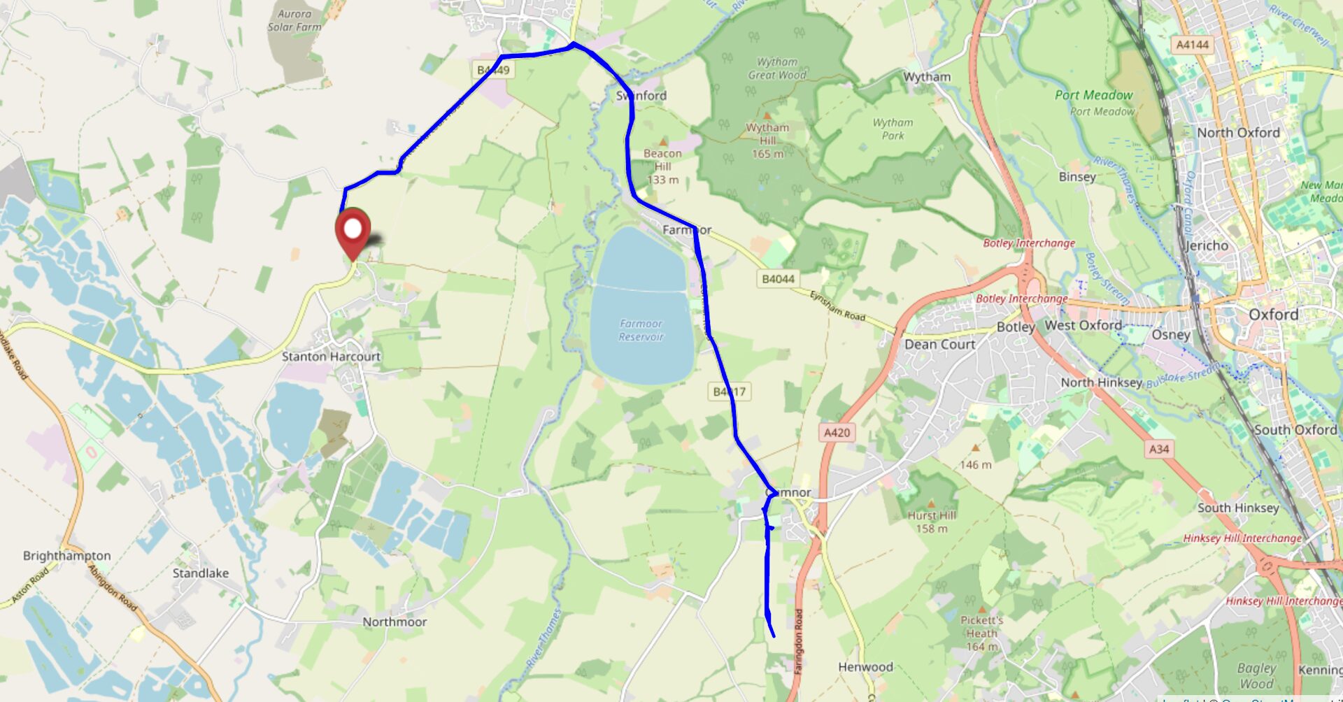
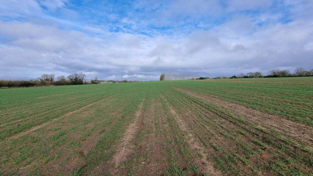
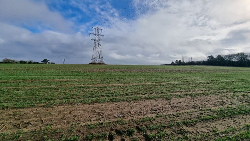
Field between Cumnor and Appleton, West Oxfordshire
Participants
Plans
I haven’t hashed for long enough that my home graticule got marked as inactive. I’ve got a little free time this morning, so let’s fix that!
Expedition
It took two attempts to reach this hashpoint.
The first attempt saw me set off around 09:40, with a plan to drive over the world’s stupidest toll bridge (paying 5p for the privilege), park up in Cumnor somewhere, then work down the Cumnor-Appleton footpath before dipping into the fields (which are likely to be fallow this time of year) to claim the hashpoint. I suggested to take the dog, and the 7-year-old child asked if he could join me too, so the three of us with our eight legs set off.
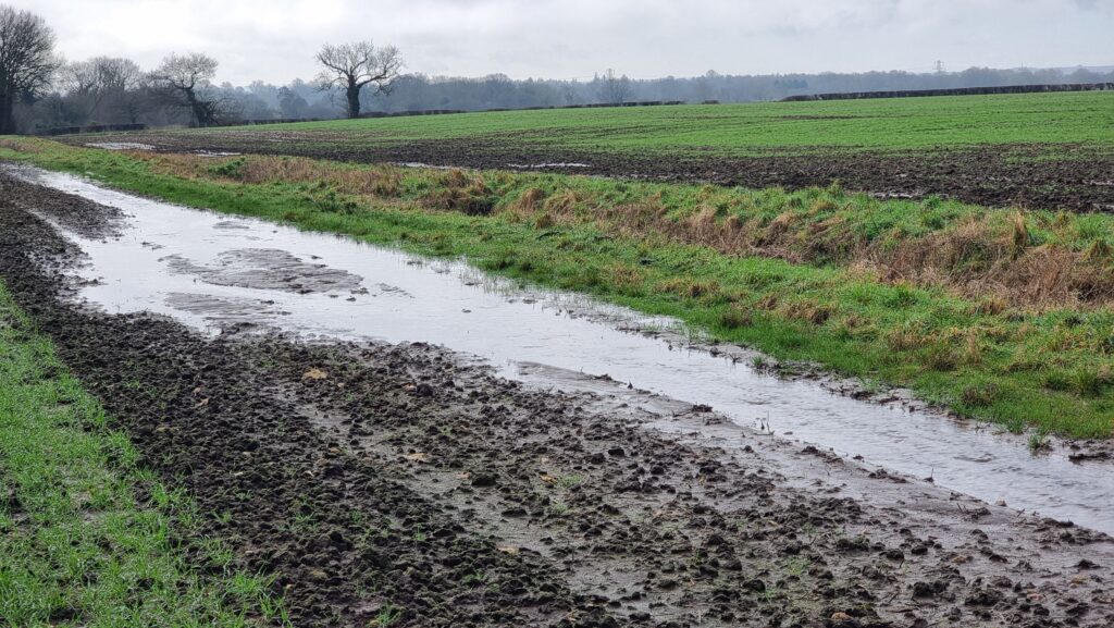
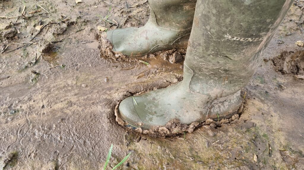
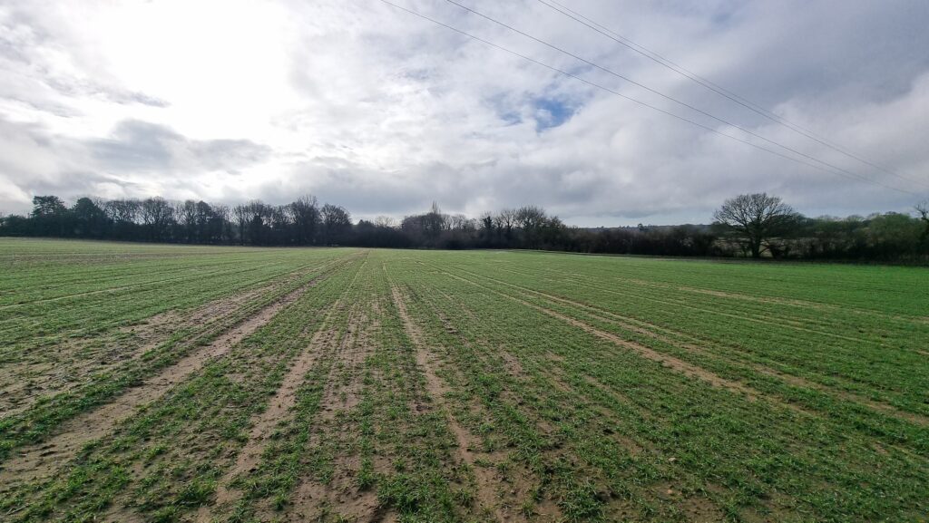
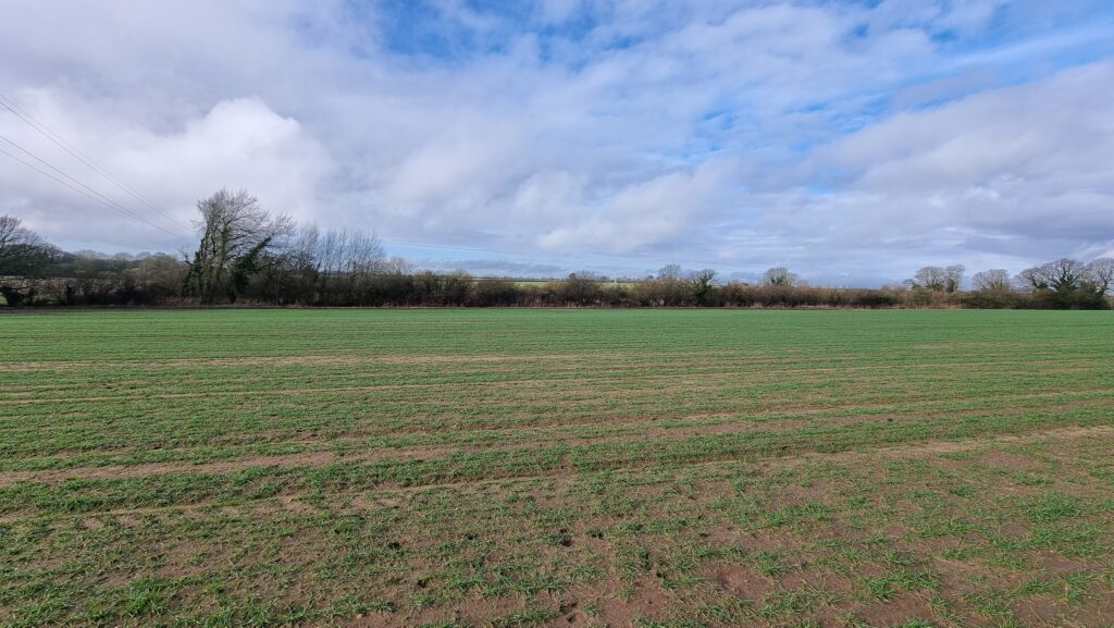
This winter’s seen heavy rain around these parts, and the stream that runs alongside the footpath had broken its banks and flooded the fields. The water had receded, but the ground remained extremely boggy. That kind of thick, wellie-sucking mud that means that if you stop walking for more than a couple of seconds, you might as well give up and say you live there now because your boot is never coming back.
The kid found the going especially-tough, especially after a particularly-deep puddle splashed over the edge of his wellies, and asked to turn back. The dog was finding it a bit challenging too! So we doubled-back and found a geocache a little way off the path. We’ve generally been disappointed by Cumnor’s geocaches and especially this series, finding them to be ill-maintained or completely absent, but it looks like the cache owner has been working on repairing and replacing them towards the tail end of last year and this one was soon found. I drove the dog and child home (back across the toll bridge), then came back out myself (paying the fivepence toll a third time). So began the second attempt:
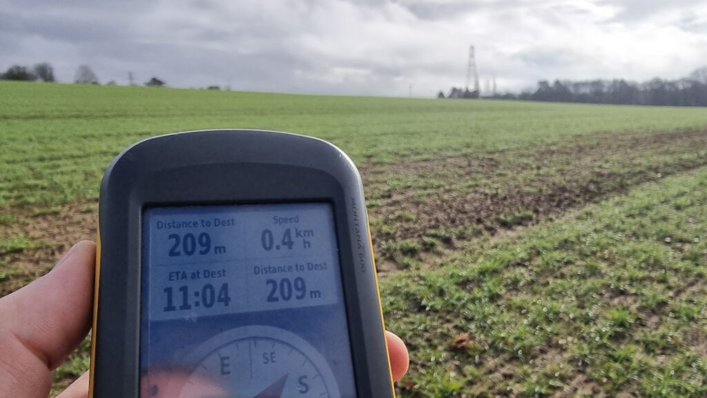
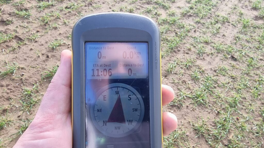
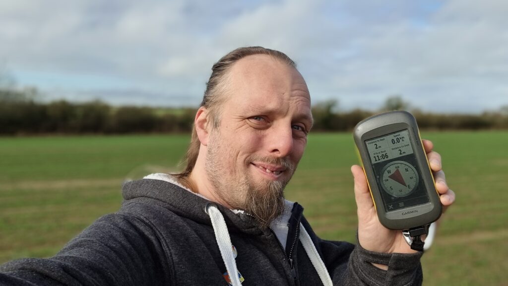
Unburdened by short-legged dogs and damp-footed kids, I made better progress. At points, the path was completely flooded-out, but this gave me an excuse to walk along the “tramlines” of the cultivator that must’ve been working in the field last year, which put me on a better course to reach the hashpoint. By 11:06 I was well within the circle of uncertainty and declared the mission a success.
Then I plodged back through the mud, changed my footwear, and drove over the toll bridge a fourth time. The attendant, clearly sick of seeing me driving back and forth, took pity on me and let me off without paying yet another 5p piece, so that was nice.
Tracklog
Photos
Found after trying a few different hosts while out on an expedition to try and reach the 2024-02-10 51 -1 geohashpoint with the 7-year-old and the dog. The path to the hashpoint is really waterlogged and the little man said his wellies were leaking so we doubled back and retrieved this cache. Extrac
Read more →