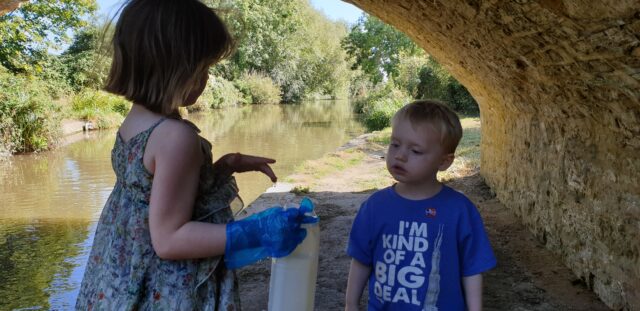
Back in 2019, the kids – so much younger back then! – and I helped undertake some crowdsourced citizen science for the Thames WaterBlitz. This year, we’re helping out again.
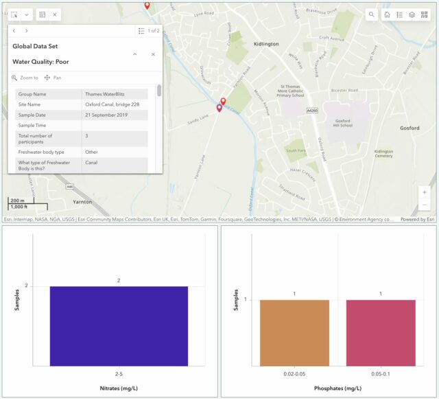
We’ve moved house since then, but we’re still within the Thames basin and can provide value by taking part in this weekend’s sampling activity. The data that gets collected on nitrate and phosphate levels in local water sources – among other observations – gets fed into an open dataset for the benefit of scientists and laypeople.
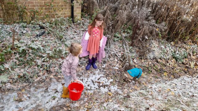
It’d have been tempting to be exceptionally lazy and measure the intermittent water course that runs through our garden! It’s an old, partially-culverted drainage ditch1, but it’s already reached the “dry” part of its year and taking a sample wouldn’t be possible right now.
But more-importantly: the focus of this season’s study is the River Evenlode, and we’re not in its drainage basin! So we packed up a picnic and took an outing to the North Leigh Roman Villa, which I first visited last year when I was supposed to be on the Isle of Man with Ruth.

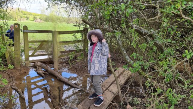
Our lunch consumed, we set off for the riverbank, and discovered that the field between us and the river was more than a little waterlogged. One of the two children had been savvy enough to put her wellies on when we suggested, but the other (who claims his wellies have holes in, or don’t fit, or some other moderately-implausible excuse for not wearing them) was in trainers and Ruth and I needed to do a careful balancing act, holding his hands, to get him across some of the tougher and boggier bits.
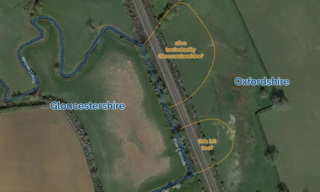
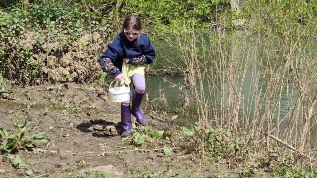
Eventually we reached the river, near where the Cotswold Line crosses it for the fifth time on its way out of Oxford. There, almost-underneath the viaduct, we sent the wellie-wearing eldest child into the river to draw us out a sample of water for testing.
Looking into our bucket, we were pleased to discover that it was, relatively-speaking, teeming with life: small insects and a little fish-like thing wriggled around in our water sample2. This, along with the moorhen we disturbed3 as we tramped into the reeds, suggested that the river is at least in some level of good-health at this point in its course.
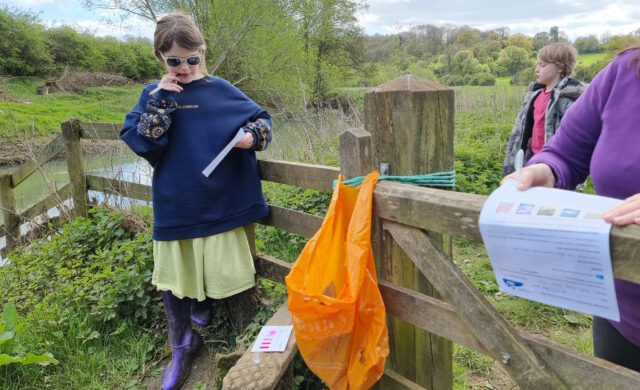
We were interested to observe that while the phosphate levels in the river were very high, the nitrate levels are much lower than they were recorded near this spot in a previous year. Previous years’ studies of the Evenlode have mostly taken place later in the year – around July – so we wondered if phosphate-containing agricultural runoff is a bigger problem later in the Spring. Hopefully our data will help researchers answer exactly that kind of question.
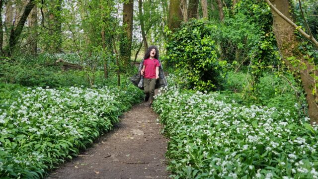
Regardless of the value of the data we collected, it was a delightful excuse for a walk, a picnic, and to learn a little about the health of a local river. On the way back to the car, I showed the kids how to identify wild garlic, which is fully in bloom in the woods nearby, and they spent the rest of the journey back chomping down on wild garlic leaves.
The car now smells of wild garlic. So I guess we get a smelly souvenir from this trip, too4!
Footnotes
1 Our garden ditch, long with a network of similar channels around our village, feeds into Limb Brook. After a meandering journey around the farms to the East this eventually merges with Chill Brook to become Wharf Stream. Wharf Stream passes through a delightful nature reserve before feeding into the Thames near Swinford Toll Bridge.
2 Needless to say, we were careful not to include these little animals in our chemical experiments but let them wait in the bucket for a few minutes and then be returned to their homes.
3 We didn’t catch the moorhen in a bucket, though, just to be clear.
4 Not counting the smelly souvenir that was our muddy boots after splodging our way through a waterlogged field, twice